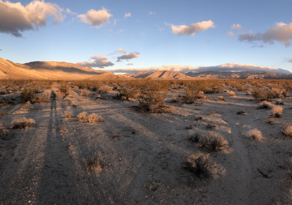
This route takes you from the northern most point of Death Valley National Park to its southern most point. No trails, no roads. It is about 160miles long and run the length of the Death Valley. The route proposed here is the one Roland Banas followed, but you are encouraged to make your own. Only the start and the end points matter. This route was first done solo, unsupported and unassisted by Louis-Philippe Loncke in 2015 in just under 8 days and done again by Roland Banas in 2018 in just under 7 days. The crossing can be done all on trails, but for an unsupported summer trip using a cart for water, that wouldn't be possible.
The route starts on Willow Creek Rd, about a 1.5 miles NE from Last Chance Canyon. Lat: 37.349741 Lon: -117.683353
The route ends at the Harry Wade Monument at the intersection of Death Valley Road (127) and Saratoga Springs Rd. Lat: 35.632850 Lon: -116.290683
A detailed trip report is on Explorer Web: https://explorersweb.com/2019/01/07/solo-dv-crossing-report/
Louis-Philippe Loncke described the strict unsupported ethic he followed:
Comments
Just a reminder to always do your homework. Don't follow the original route. The southern boundary of Death Valley NP is different now.
Hello fellow trekkers:
I recently competed the North to South Death Valley National Park Crossing, unsupported, and using the West Side (grave) road, 175 miles in total. I have published my report. Individuals who wish to know more about how I did this can contact me at coldandwet@myyahoo.com.
Happy Trails.
Clark