ROUTE CREATORS: Titu, Steven Alter
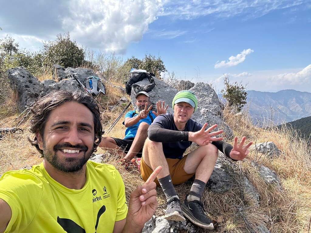
ROUTE COMPLETERS: Hanumant Khanna, Mohit Oberoi, Scott Britton
INTRODUCTION
Mussoorie's Seven Summits are the seven highest peaks in the local Mussoorie range, all visible from numerous high points in Mussoorie. Conceived by Mussoorie native Titu and long-time Mussoorie resident Steven Alter, the route circumambulates the Aglar River Valley region connecting the densely populated Mussoorie Mall with the local wilds, villages, and Hindu temples of the area. Both Titu’s and Steven’s love for this place inspired this notable route, utilizing 127 km to capture the distinctive features of this varied landscape. Titu's local knowledge, connections, time spent in recce, and passion for his home range were integral to the completion of this route, first thought up 8 years prior. We cannot express enough our thanks for his friendship and guidance in this undertaking, thank you Titu. We were also met by friends and family for our first evening of rest and are so thankful for their carrying of our food and gear and their warm welcome and encouragement after a long first day. Thank you especially to our tolerant wives. And thanks to friends that contributed critical gpx files for a few tricky sections.
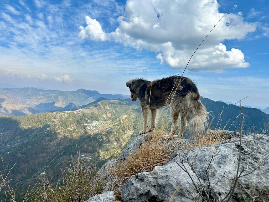
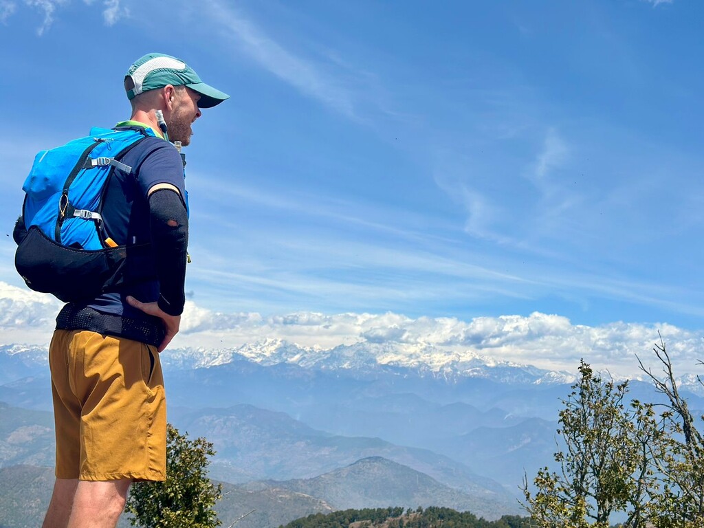
The route includes populated towns, agricultural villages, expansive deodar forests, extended ridge lines, burans (rhododendron) forests and deep valleys. Much of the route follows a ridge line with views to the Himalayas, including Swargarohini, Banderpunch, and Kalanag. This Seven Summits mapping was completed as a supported endeavour, over 3 days, in the following order (altitudes taken from Hanifl Center map):
1. Benog Tibba (2,265 m)
2. Devi Tibba (2,344 m)
3. Nag Tibba (3,048 m)
4. Luntsu (2,596 m)
5. Sukhanda Devi (2,712 m)
6. Top Tibba (2,198 m)
7. Pepperpot (2,145 m)
ROUTE DESCRIPTION
The route begins and ends from the The Hanifl Center on Tehri Rd., in Landour.
From the Hanifl Center it heads west through the Mussoorie Mall following the road to Cloud's End where a trail breaks north to the summit of Benog Tibba. The trail then continues east down a bare descent, though a series of forested switchbacks into the Siya valley and through the village of Lake Mist, Kempty town and a descent to the Aglar River crossing. The Aglar crossing is followed by a 1,500 meter high ascent through bamboo forest, across a hillside traverse, and through water powered grain mills in the Kudaun village. A short section of road leads to the steepest part of the ascent through Bichhu village, a burans and oak forest, and to Devi Tibba, also known as a second Surkhanda Devi Temple.
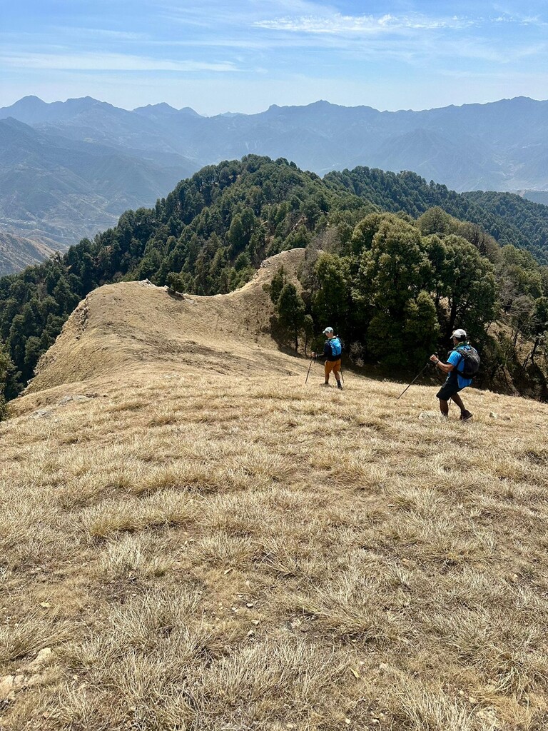
Devi Tibba marks the beginning of a very long ridge line traverse ending at Luntsu. The first section is marked by a sparsely forested, grassy ridge with a constant view to the high Himalayas on one side and the Aglar Valley and Mussoorie hills on the other. For us, this section ended for the first night at the stagnant pond at the base of Nag Tibba.
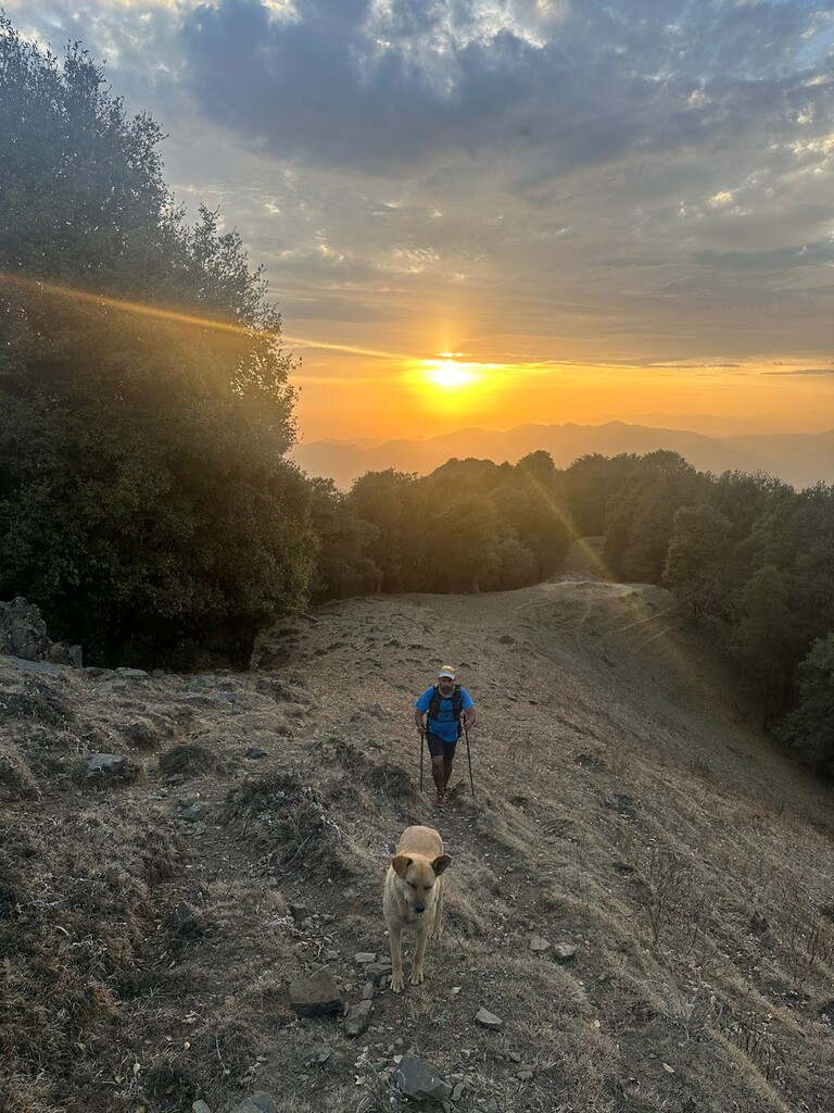
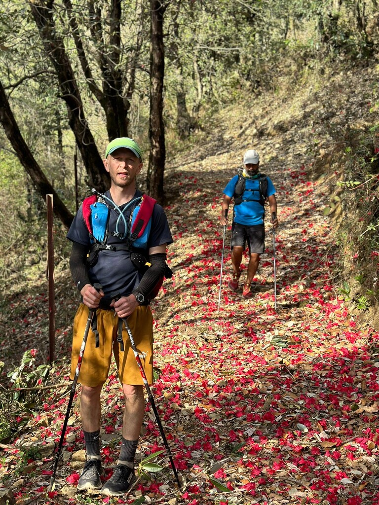
Our second day route began with an ascent to the highest point along the route, Nag Tibba (3,048 m), and a surprisingly long ridge descent to Luntsu, through a spacious deodar forest to money tree followed by a descent through a burans forest in full red bloom in the final week of March. A hidden and steep descent brought us to Bagi village and a path leading to the road at Tingling Point, a road that leads from Mussoorie to Uttarkashi. From Tingling Point a dirt road was followed to Saund where we began a night bushwack following the water line to a late night, headlamp ascent of the main Surkhanda Devi Temple, summit five, and road travel to a guest house night stay in Dhanaulti.
The third and final day brought morning fog, rain, and hail en route to Burans Khanda where we caught a trail up and over Top Tibba, through a forest descent to Suwakholi and a roadside trail to the dirt road that would take us to the base of Pepper Pot, our final summit. Pepper pot provided a view to all of our previous summits, minus Benog Tibba, and a second roadside path in full burans bloom that would place us back on the road above Bataghat and our final leg back the Hanifl Center.