
After running section of this trail over the last several years, I saw that it was an FKT. Visiting my mom in St. George, I decided to see how I would stack up with a hard effort. I had just run the Plain 100 a couple weeks earlier, but I felt fairly recovered. I figured I was prepared to carry a fairly heavy pack after Plain, so I put in an extra layer, a down jacket and rain gear since it was in the 30s with a slight chance of precip in the afternoon. It had rained heavily the day before (and I thought snowed at the higher elevations), so I was hopeful water would be accessible in several areas. I had hiked up from New Harmony on Thursday to see whether water was available at Anderson Mill Flat Valley--it was. That meant that at worst I would be going 19-20 miles with my initial water. That is a long way to go without a refill, but I fully expected that water would be flowing in a few other spots that had been available in years past at this time.
My mom's husband Bob and I arrived at the Forsyth trailhead at 8am. He was going to do the Browns Point / Forsyth loop while I attempted the point to point. My mom would be picking me up. After taking a quick photo to document my start, I took off up the Forsyth trail. Immediately I felt the altitude. I live at sea level, so being over 6,000 feet and running hard uphill was probably a mistake. But I knew that much of the route was going to be technical and/or grown over, so I had to make good time whenever I could. Half way up Forsyth I pulled out my poles to save my legs. Unfortunately, that just made by breathing more difficult. After passing the Blake-Gubler trail at around 4 miles, I put the poles away. I hike better with hands on knees. Eventually I hit the high point between Burger Peak and Signal Peak and started descending. There was no snow at all. I saw water flowing near Further Water, so I decided to top off my two chest bottles and fill my 1 liter filter bottle just in case there was no later water. (Turns out there was water everywhere).
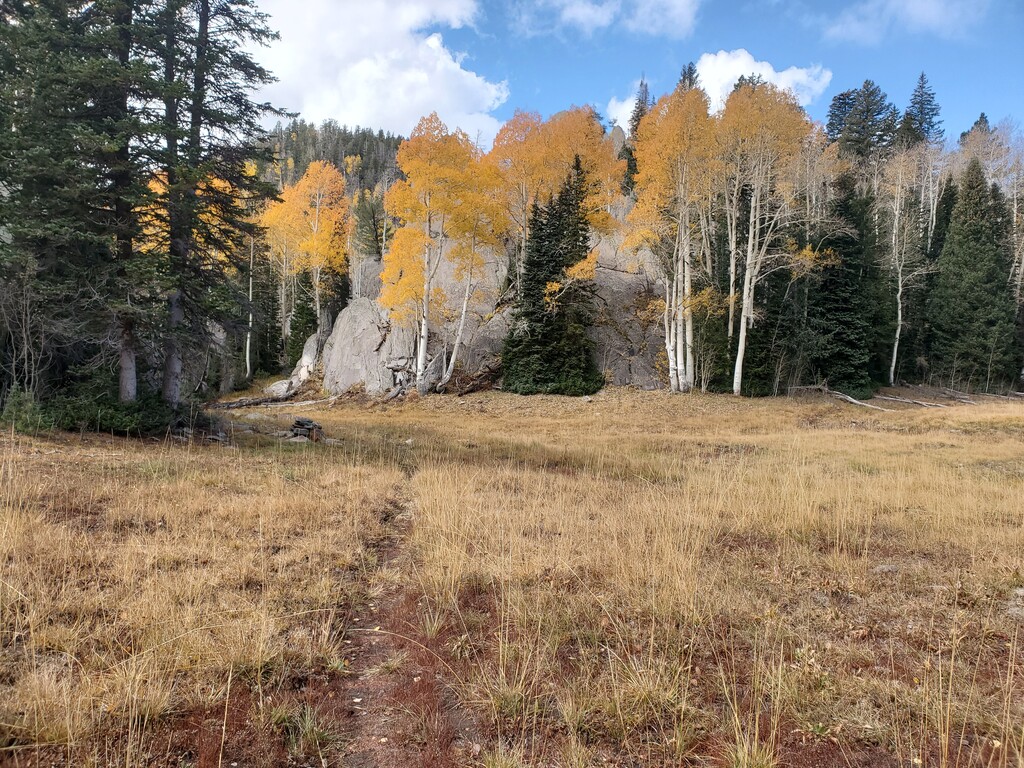
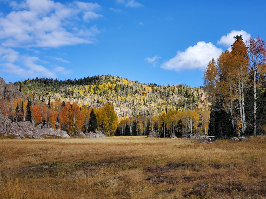
I made good time passing the Brown Pt / Oak Grove crossing. That area can get confusing with all the false trail braids and drainage gullies that look like trails. I was holding a pace that seemed just under the 8 hour record as I climbed and descended the several ridges over to Whipple. When I got to what I call Whipple meadow (name?) just north of South Valley, I lost the trail as I proceeded along the western edge, so I just ran through the meadow on what seemed like a slight track. I found the trail again after the Whipple trail junction. After climbing over to North Valley, I made my only significant mistake of the day. The main trail seemed to head east, but after going .2 miles I came to a nice camping spot and the trail ended. Pulling out my phone I saw that I had missed the trail. I ran hard back to the spot I went off course and saw that the faded trail follows large cairns along the eastern side of the meadow. Back on track, I pushed hard up past Big Point, but the trail is totally gone/grown over as you descend down toward Anderson Mill Flat Valley. I could tell the trail roughly followed the creek, so I just did my best to push through the thousands of small saplings and numerous tree fall. (This is an area that once the trail is repaired will greatly improve anyone's time—work party anyone?).
I finally came to Anderson Flat Valley and refilled my bottles for the final 9 miles. I had just been to this area on Thursday, so I knew exactly what was in store for me. I made my way over the ridges and valleys of grown over trail until the final rocky descent down to New Harmony. I texted my mom with about 5 miles to go, telling her to head my way. Then, half way down the descent I took a hard tumble. Dazed, I checked myself out and realized I could still walk even with a bloody knee and very sore palm. A few minutes later I was able to run slowly, and a few minutes after that, I was running well again. Amazing how the body can shake trauma off with a bit of adrenaline.
When I finally got to the Pine Valley Wilderness sign, I knew I was just under 2 miles to go. It had taken me 21 minutes to run this section on Thursday, but I checked my watch and saw I was at 7 hours when I passed the sign. I decided to see if I could run 15 minutes to the finish for a sub-7:15. I picked up the pace running down what feel more like a creek bed than a trail at times.
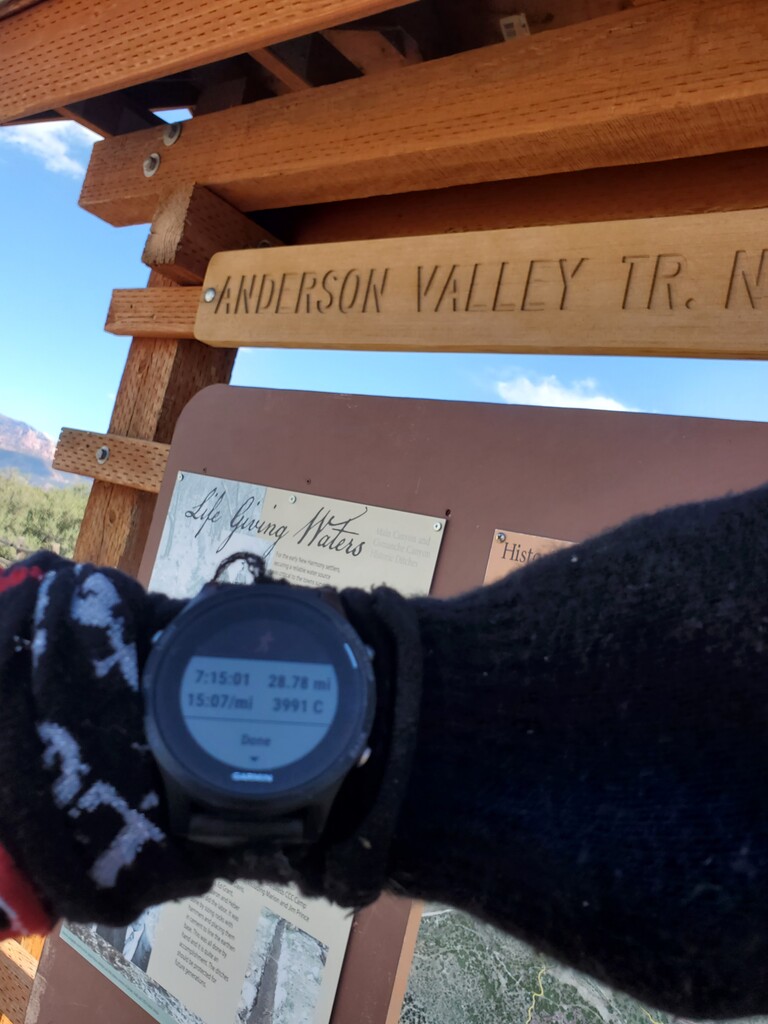
I knew there were two gates I would have to open and close and then relatch in the last mile. When I made it to the first one, I quickly opened, closed and re-latched the gate. Checking my watch, I knew I would have to hurry. I ran super hard to the last gate. I quickly opened/closed and re-latched the last gate and then literally sprinted across the two wooden bridges near the finish. When I finally crossed the last bridge, I saw a 7:14 something. I knew I needed to sprint to the trailhead. I got to the trailhead (split rail fence opening), I hit my watch. Pulling it up to my eyes, I chuckled inside to see 7:15:01.
That was a super fun day in what were perfect conditions for running hard. This route time can easily be improved. I would expect an elite runner to go close to 6 hours if not under. I will attempt a sub 7 hour time at some point.
Cary