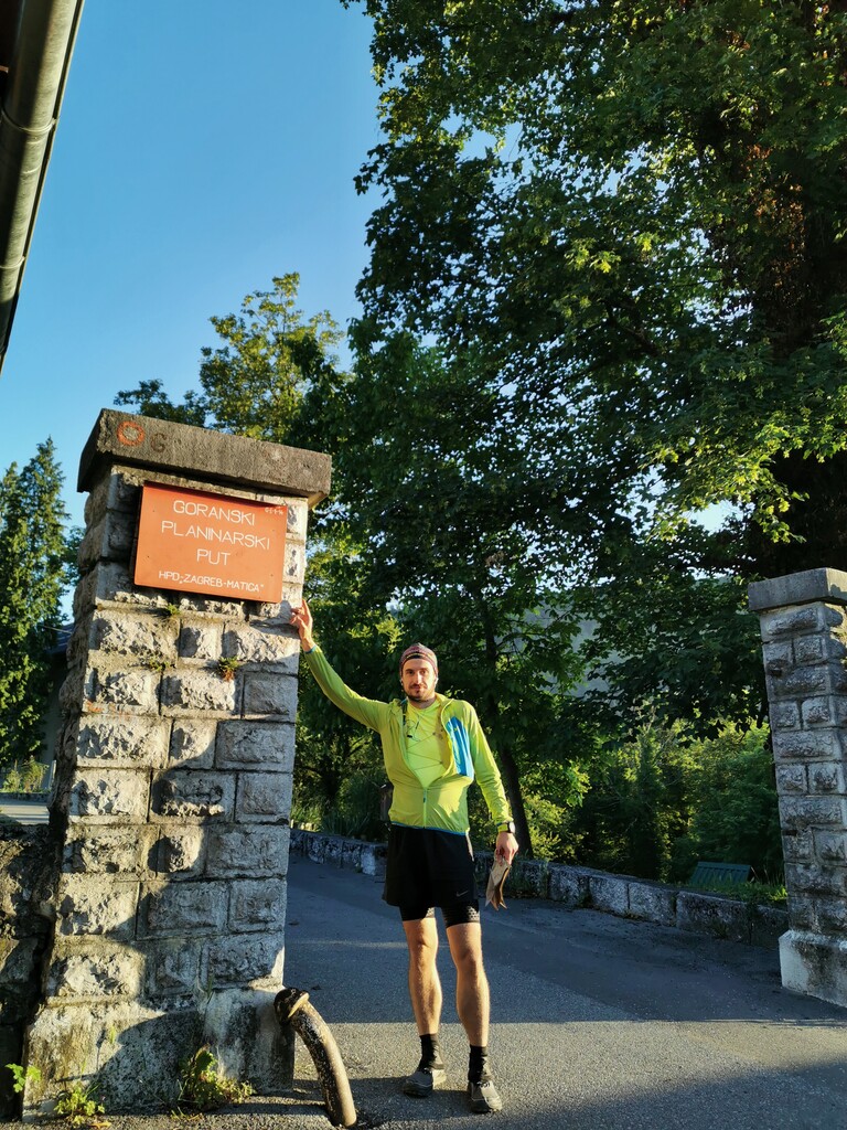
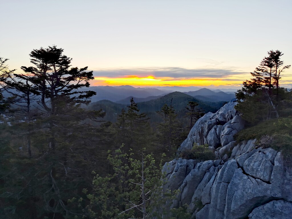
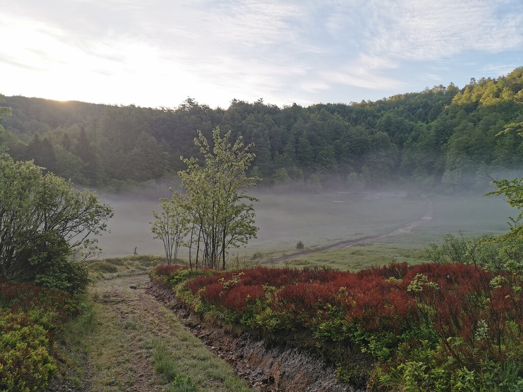
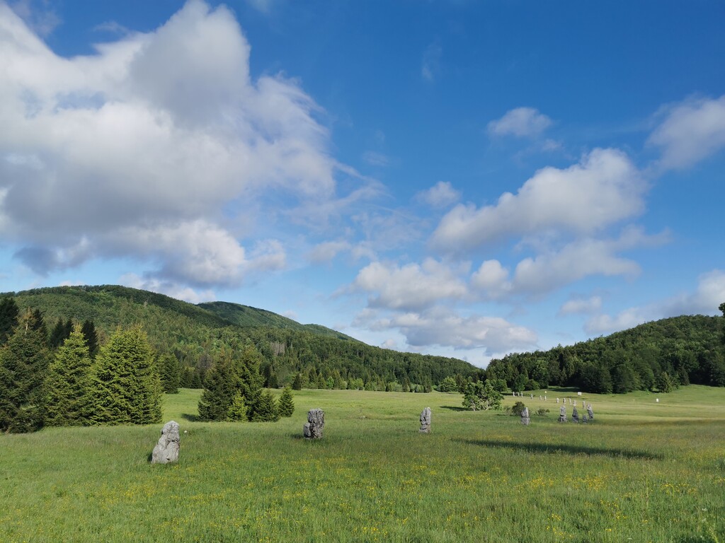
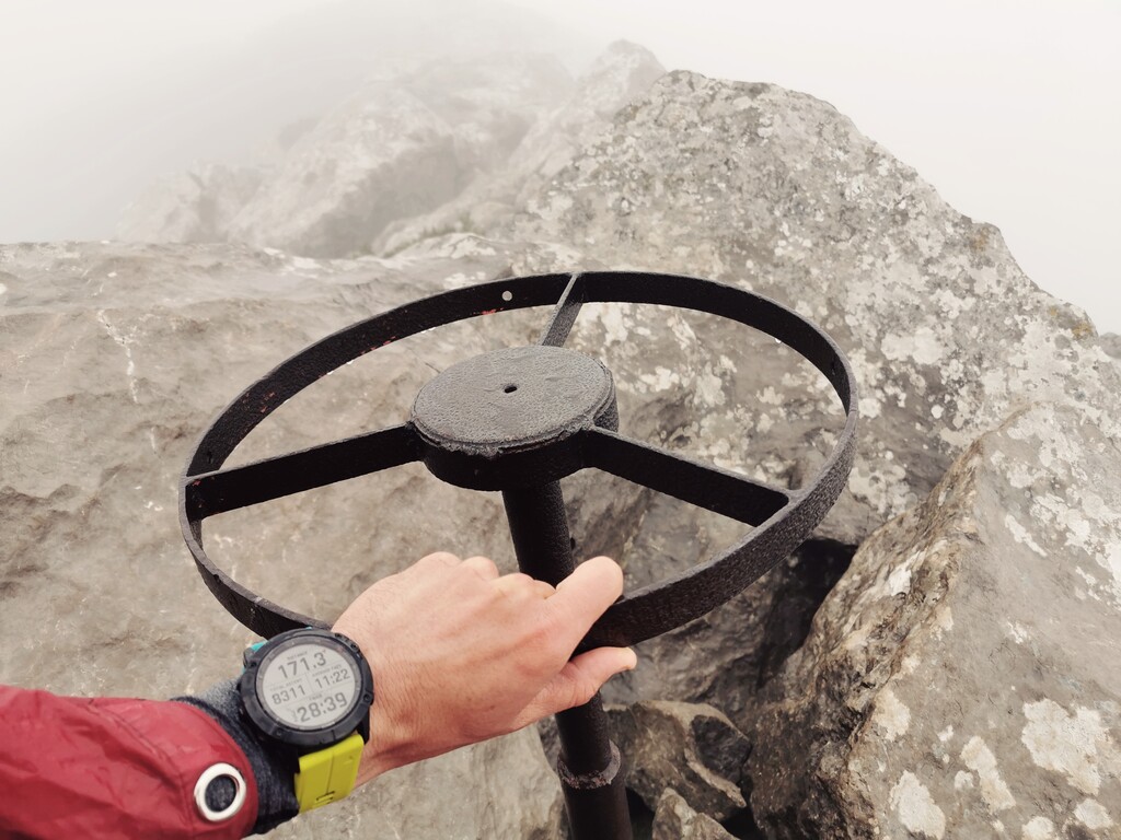
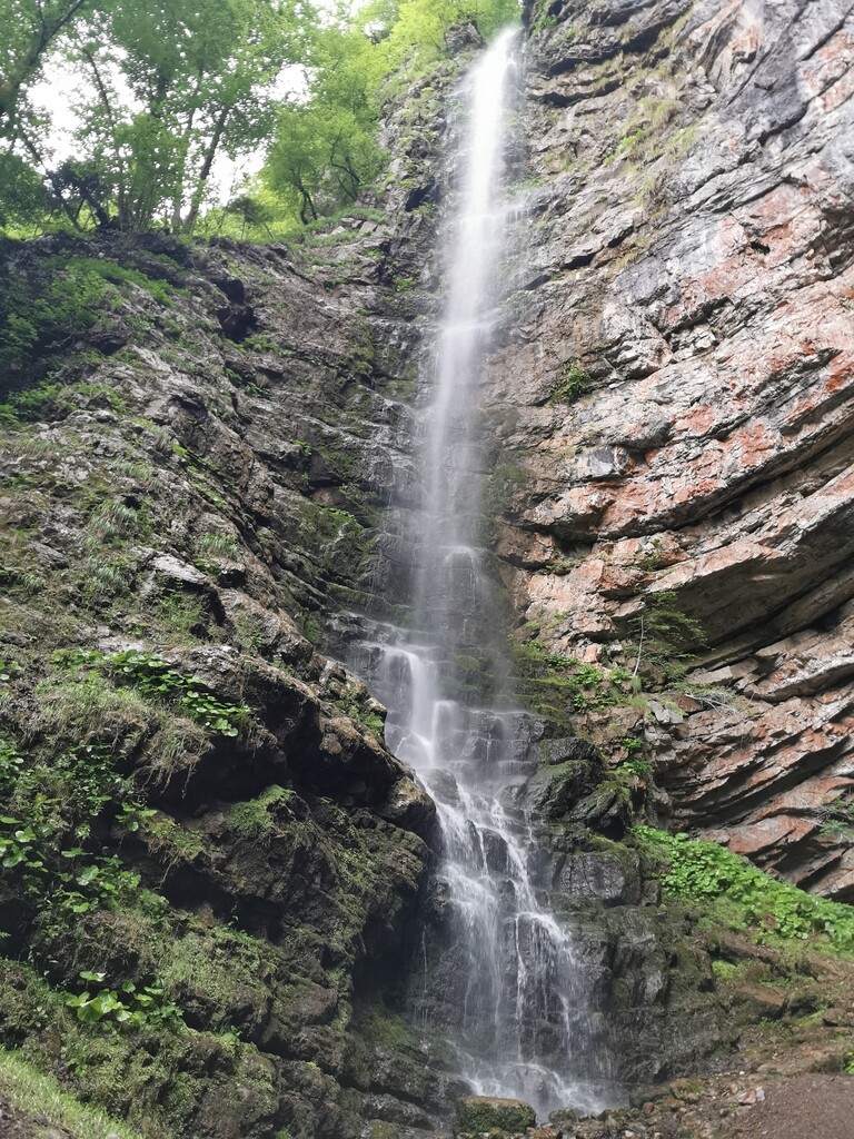
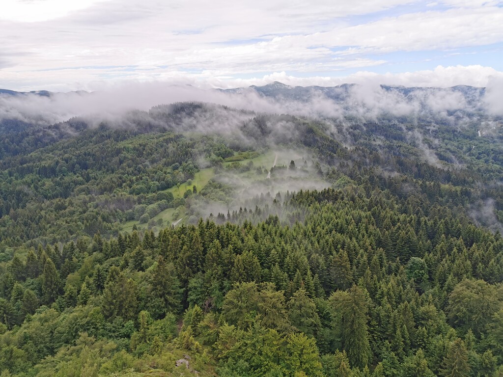
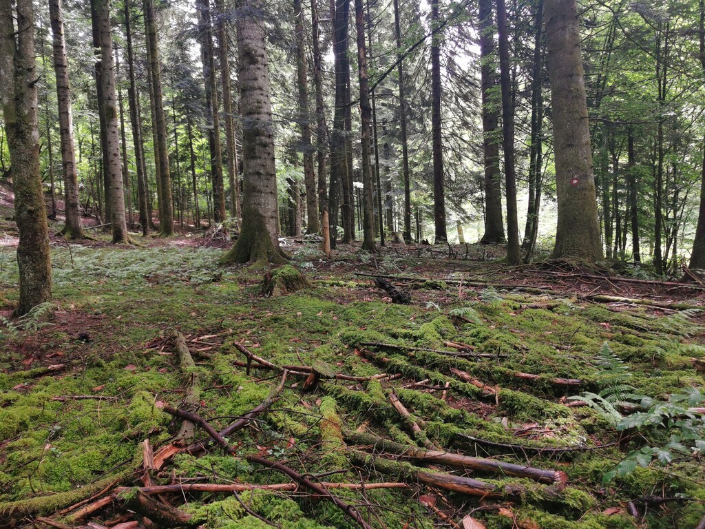
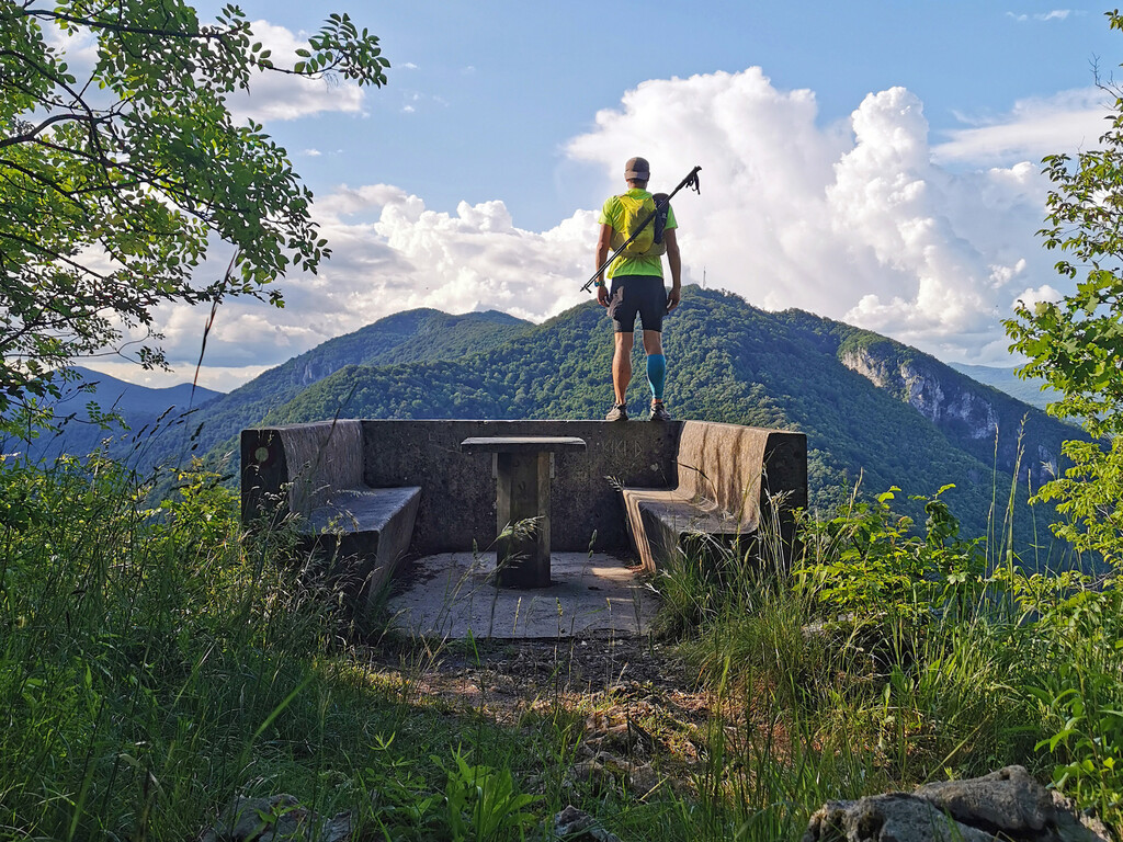
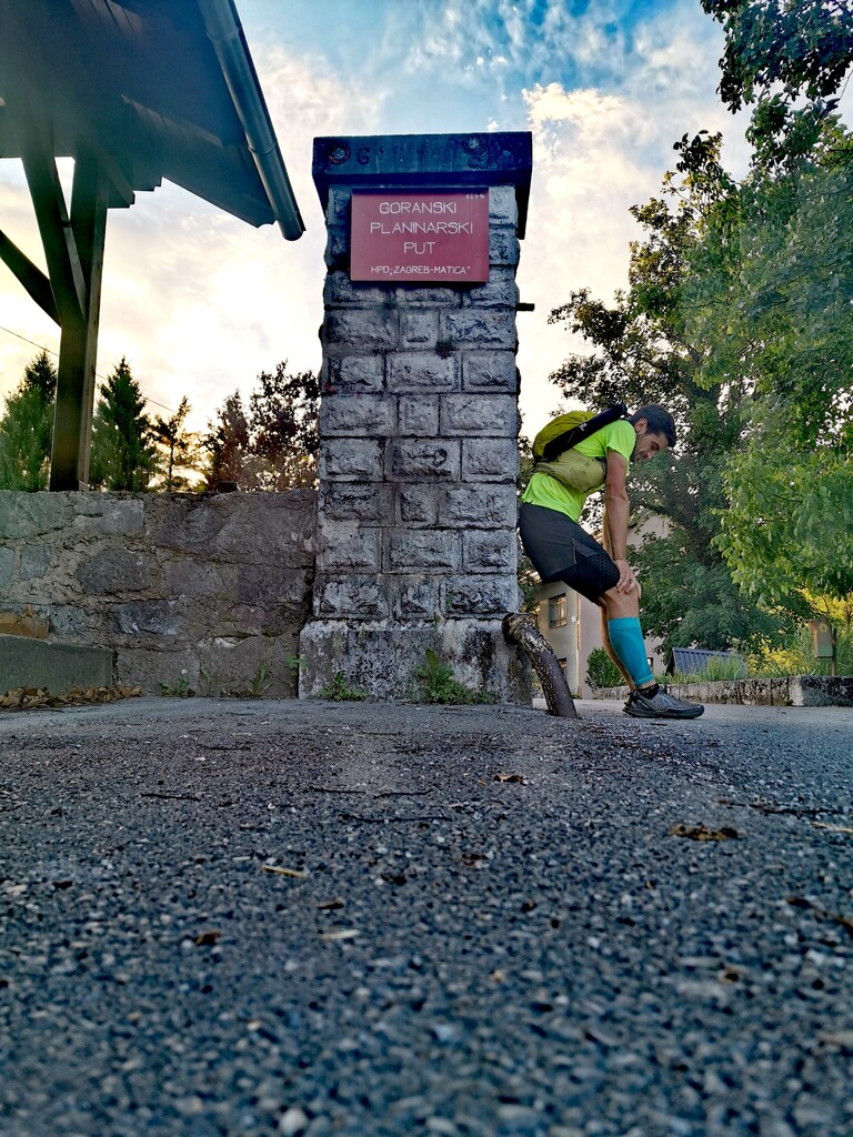
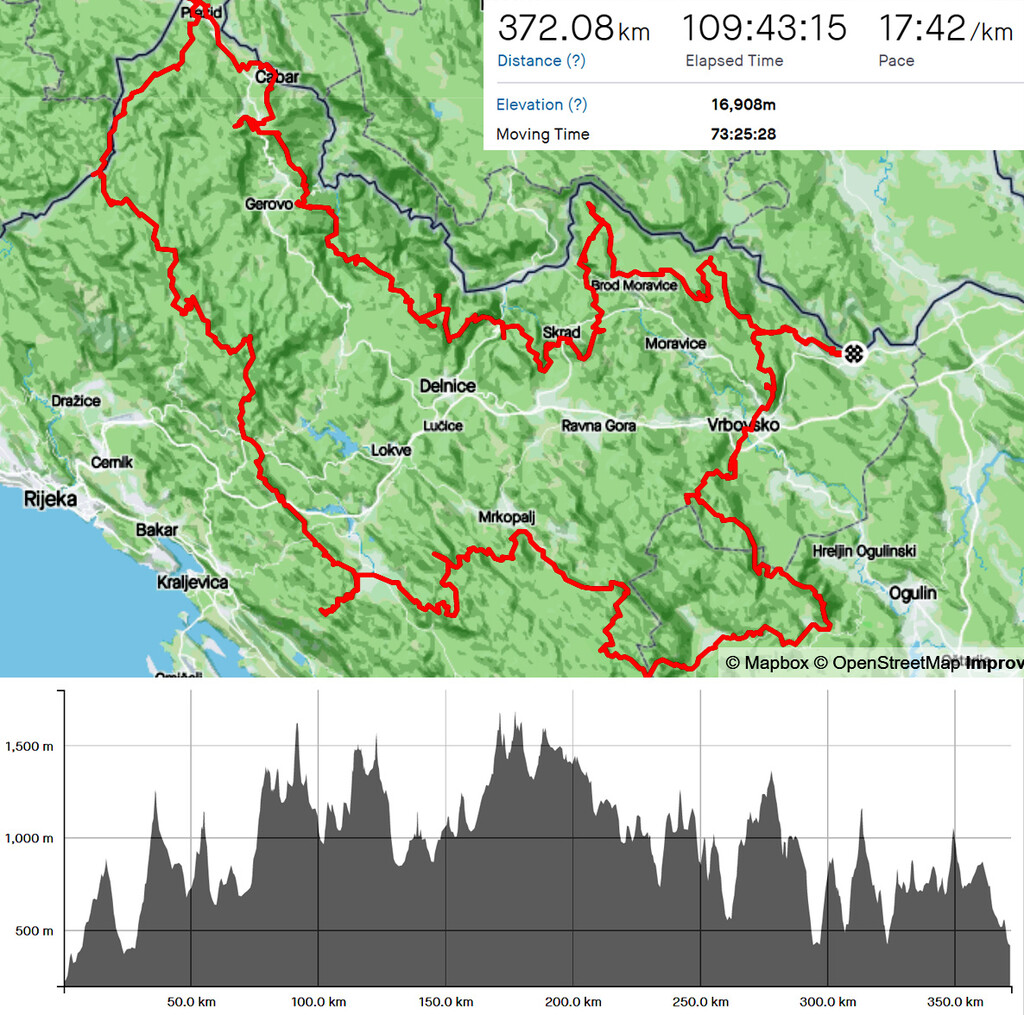
"Goranski Planinarski Put" (GPP) is a circular hiking route in the most forested region of Croatia also known as the green lungs of Croatia. It is arguably the most beautiful mountainous part of Croatia, very untouched and unspoiled. It was envisioned and brought to life by Croatian mountain club "Zagreb-Matica" in 1984. With it's 360 km length and 17000 meters of elevation gain (D+) it is the longest official (recognized by Croatian Mountaineering Association) hiking route in Croatia (there are two new longer "unofficial" long distance through hikes - CLDT & VA). The route goes through picturesque old villages, high viewpoints and deep forests, to natural, historical and cultural destinations. It is split in 3 parts that connect to each other. The first one goes through typical old "goran" (highlander) villages and is around 100 km long. The second part goes through remote not very populated or visited northernmost part of "Goranski kotar" and is laso 100 km long. The third part is the highest and the most mountainous region of the area, also the most popular and well maintained. It's 160 km long with a big part of the elevation gain. Every part has control points that have to be visited and proven with a stamp or a photo (41 in total). For every part that a hiker/runner passes and proves mountain club Zagreb-Matica issues a unique little badge, and for passing all of them one final badge for the whole route. As far as I know I'm only the second person to pass the whole route in one push.
Just before the start I decided to do the loop in the "reverse" direction cause of the weather forecast. Large storm was coming in and as the last third of the route is over the highest peaks I wanted to get that out of the way first while the weather was still good. I had support along the way. At the end of the each day my girlfriend would wait for me in a car at the predetermined spot on the route and I would spend the night in the car.
Right from the start I could pretty much see what will be the real challenge on this route at this part of the year:
- Ticks are everywhere. I removed something like 10 to 20 ticks each night and once I finished and came home we did a detailed check and found 40 ticks remaining.
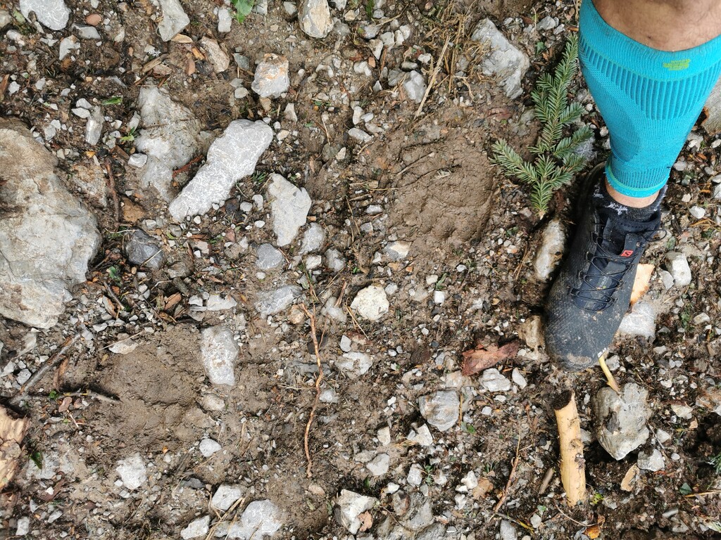
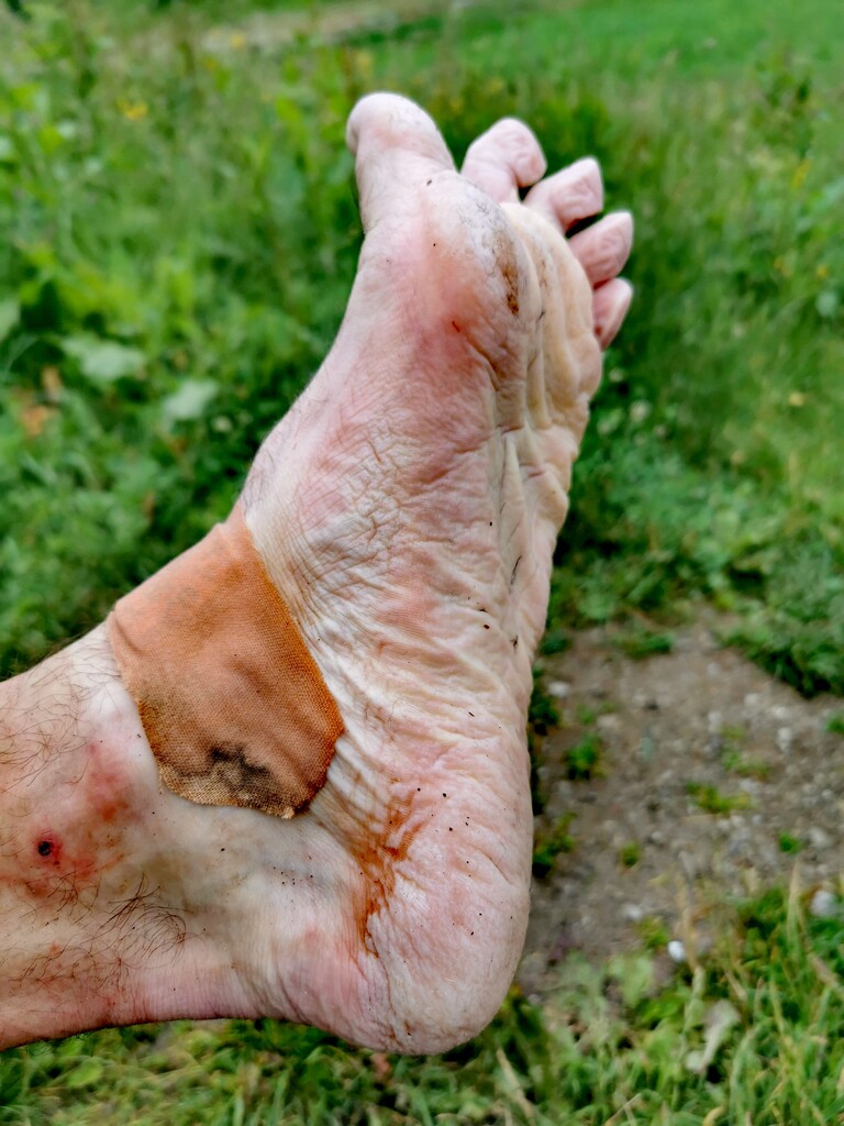
- Whether it's raining or not your feet are always wet cause the grass and the bushes are moist every morning until like half the day goes by. The trench foot syndrome is a real problem here as I came to found out.
- I did this during the European migration crisis problem and the migration route goes directly through this mountains region of Croatia so I encountered a few groups of illegal migrants (Syria, Afghan, Iraqi) but had no real problems with them.
- Bear tracks are everywhere but they usually smell you from far away and get out of the way before you even see them.
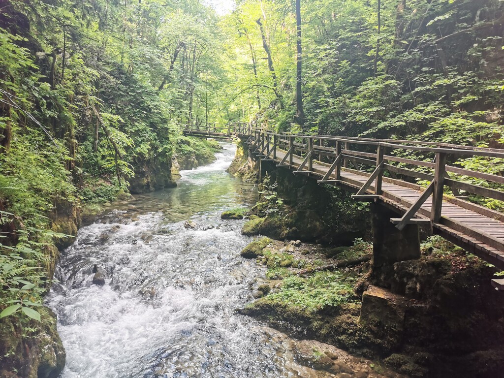
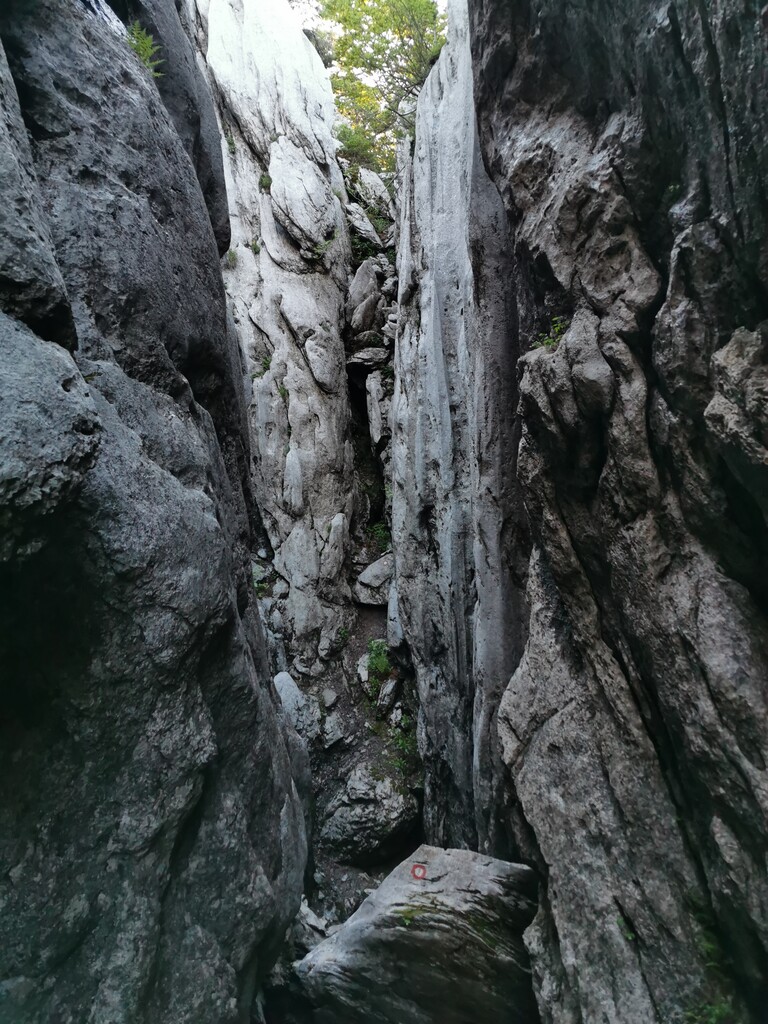
- Parts of the route are not usually that popular so they are not well maintained. Trail marks are faded or cut down by forest service that literally destroyed the route on some parts. It's overgrown and hard to follow.
I was hoping for the under four day finish but after the first two days of nice weather the storm rolled in and I had to battle a constant downpour for the next two days that even flooded parts of the course. Subsequently my feet started to deteriorate from the constant wetness and I was happy just to be able to finish. To put it quite simply it was an adventure, one of the biggest of my life, and I had a few.