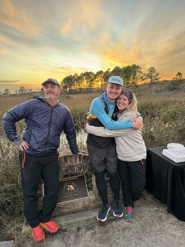
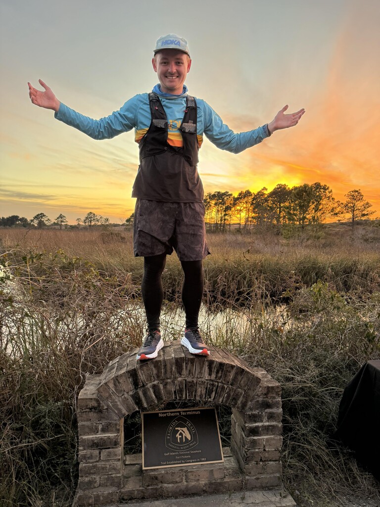
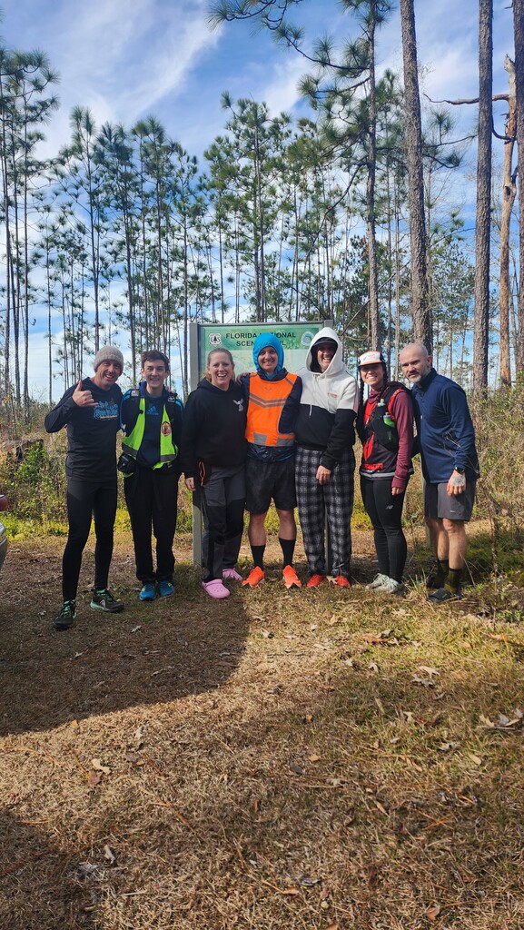
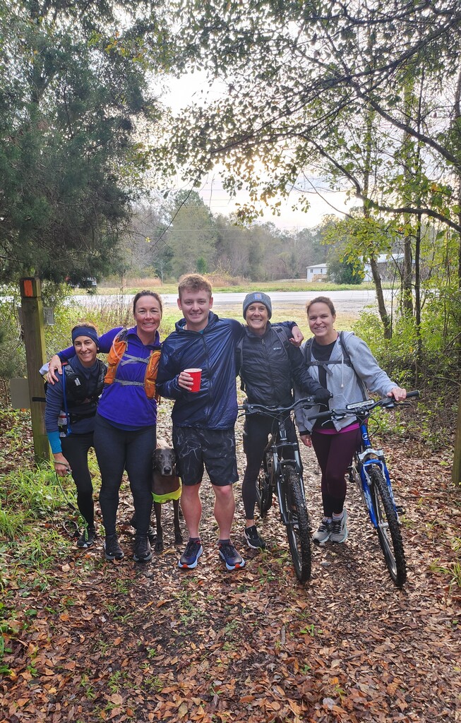
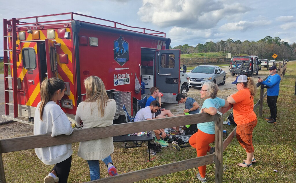
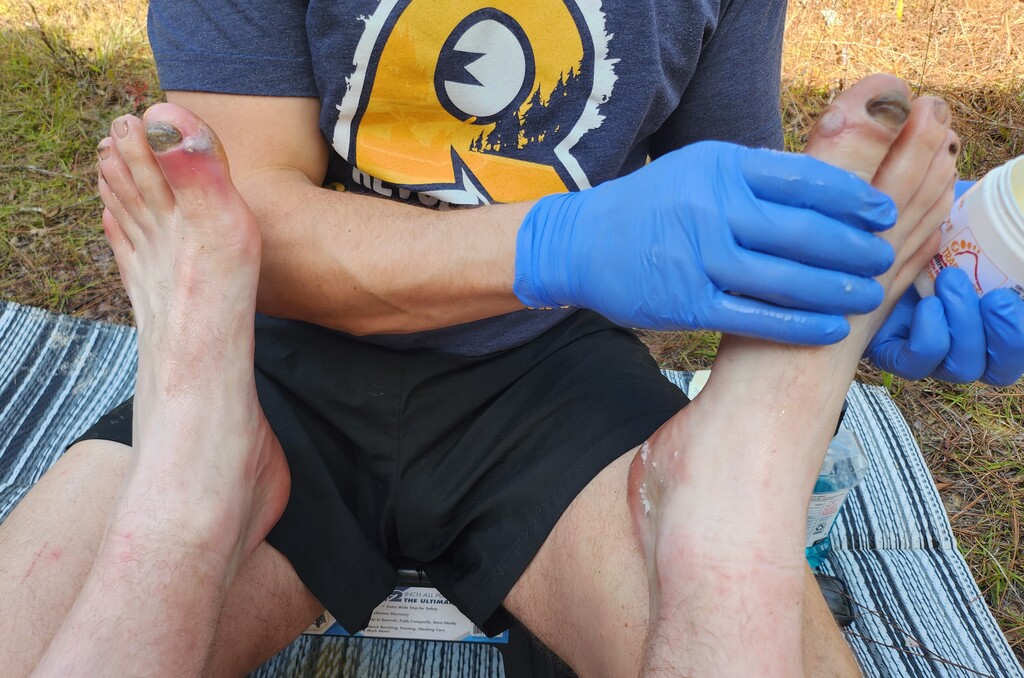
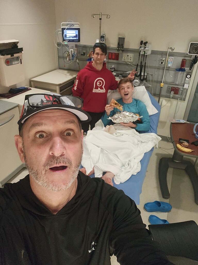
I am filled with so many emotions after completing the toughest adventure of my life but I am ending with the same emotion that I started with: Gratitude. I’m grateful that I have a healthy body that allows me to live and grateful for my incredible family and friends who help enable my dreams! None of this would have been possible without the love and support from every one of you, from the people cheering me online, to the 100s of friends who came out to share some miles with me! This accomplishment is as much yours as it is mine! This journey was so much more than just an FKT attempt! So I apologize but most of this report will talk about the flooding and rerouting I had to take. If you want to hear more about the trail and my full experience, consider looking at my Instagram @Hunter_Leininger
According to many, I faced the worst weather and flooding ever on the Florida trail, which forced me to take some Florida Trail Association recommended reroutes due to safety. We were 100% transparent with any reroutes that we took by having a Live GPS Tracker and making social media posts every day. The only times I took reroutes were when the Florida Trail Association and Park Rangers declared a section of trail as too dangerous for any thru-hikers to enter. Every decision was made in direct contact with the specific region manager of the Florida Trail Association. Any time we communicated with them we asked them to not treat us as an FKT attempt but instead treat me as a normal thru-hiker. Any recommendations that were made for me would be the same recommendations that any thru-hiker would receive. Every single reroute that I took was mandatory or highly recommended by the Florida Trail Association for my safety but, more importantly, the safety of their rescue workers if something went seriously wrong for me or a fellow thru-hiker. I know some people don't agree with my decisions to reroute but I don't feel like any FKT is worth going against any rules or putting someone else's life on the line. I never did any reroutes in the hopes of taking away from what the previous FKTers have accomplished or to save time, I was following the recommendations of the Florida Trail Association.
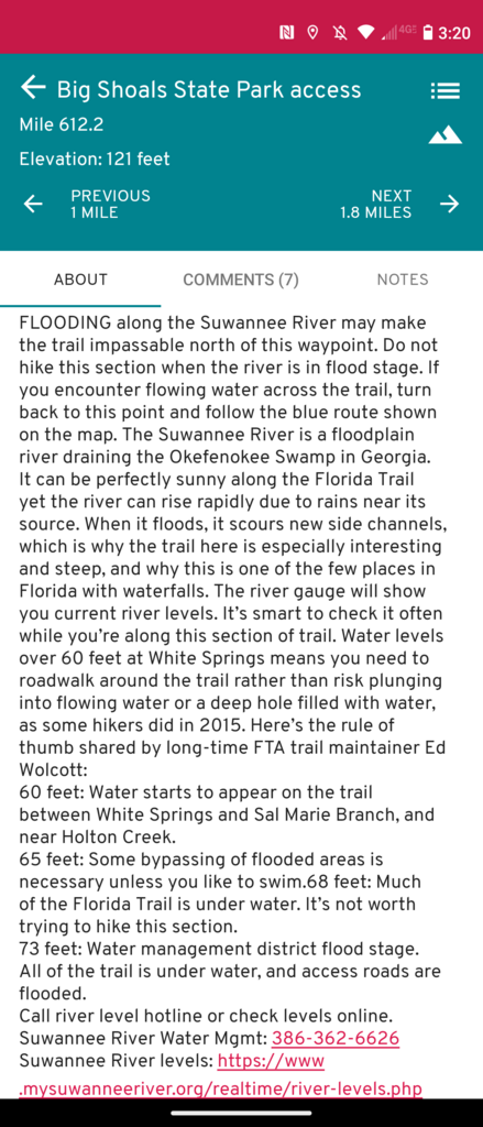
My first reroute took place at mile 612.2, leading up to this section I was traversing a normally dry stretch of trail but due to the flooding I had parts that were above waist-high water. Janie, a member of the FTA (Florida Trail Association) met us at the trailhead and warned us about the upcoming Suwannee River. She told us to get in contact with the FTA north region manager (Jeff Glenn). Jeff was unsure of the current trail conditions of the Suwannee River since no other thru-hikers have made it through there yet so he told us to coordinate with Randy White who is head of trail maintenance for the Suwanee River section. Jeff told us Randy would have the most knowledge of the current trail conditions and would know what sections are impassable. Jeff said that whatever Randy recommends as a reroute, Jeff would officially approve on behalf of the FTA. Randy informed us the trail was flooded and was impassable in sections. Randy worked with one of my crew members to scout out multiple sections of the Florida Trail along the Suwannee River (we have his GPS Tracks and dozens of videos of them scouting). Randy and Jeff concluded that the Florida Trail along the Suwannee was beyond dangerous, and with a massive storm coming in that same day that was bringing tornado watches and more rain would undoubtedly make the flooding worse. They highly recommended that all thru-hikers reroute from mile 612.2 to 658.8, so we followed their recommended reroute using parallel dirt and paved roads with similar mileage to the trail.
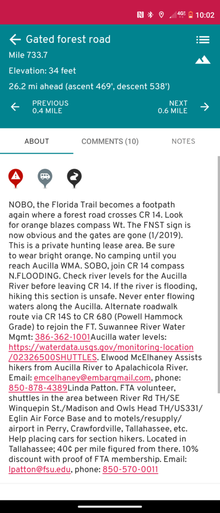
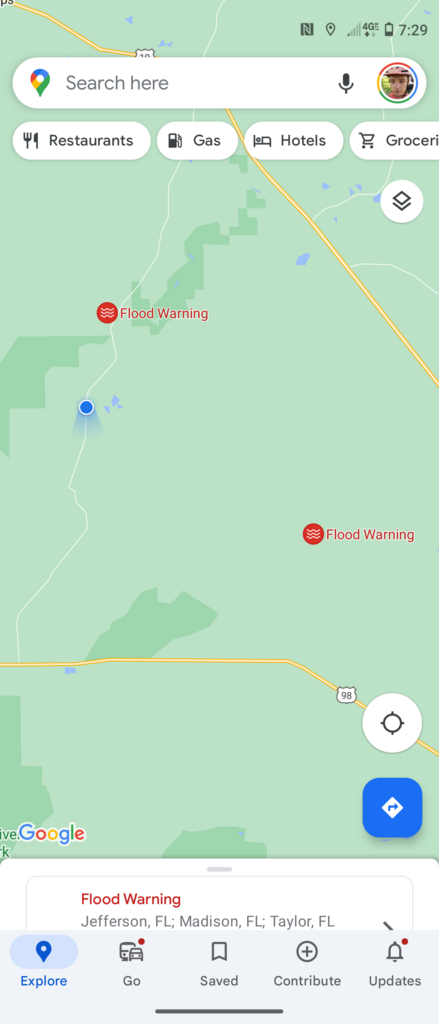
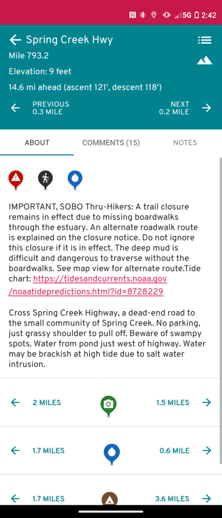
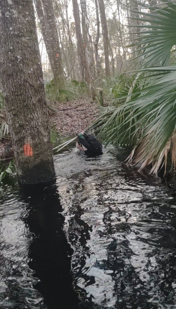
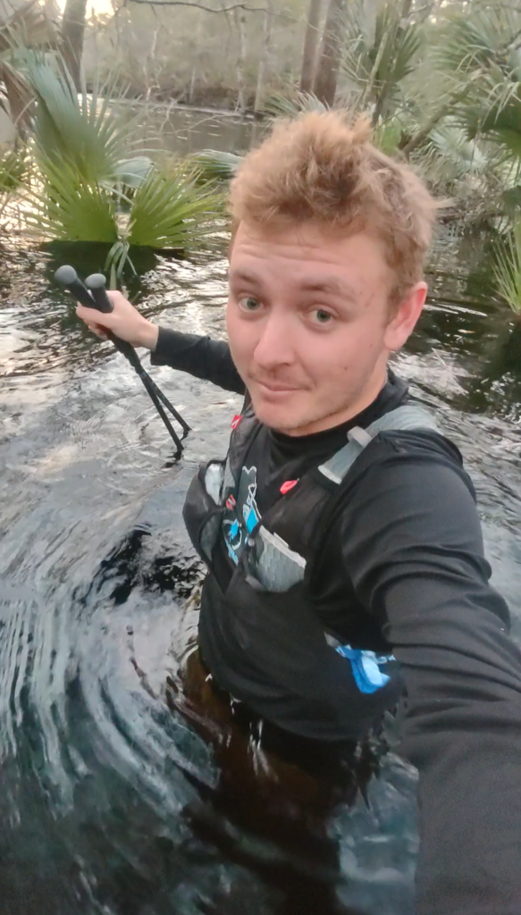
My second reroute took place at mile 733.7, after reading the official recommended reroute around the Aucilla River. My crew got in contact with the FTA Region Manager of the Panhandle (Catherine Selin) to get more information on the situation. She reviewed the current water levels of the Aucilla River and other thru-hikers reports and concluded that the river was in flood stage and was overflowing onto the trail making it extremely dangerous. She recommended that I reroute this section, but she also said that I could try to stay on the Florida trail and see the conditions for myself and determine if it was doable. So I decided to stay on the Florida Trail and see how far I could make it before it became too dangerous for a normal thru-hiker to continue. My pacer (who happens to be a U.S. Army Ranger, so he knows a thing or two about dangerous water conditions) and I made it to the Auccilla River and instantly noticed that the river was above the banks, and even the high sections had water up to our knees. We continued and the trail dipped down into tributaries that were above waist high and parts where we had to swim. In most people's opinion, standing water this deep was already dangerous enough and no normal thru-hiker would be allowed to continue. What made it life-threatening was the tributaries that required swimming, had water flowing out to the main river. The Auccilla River is known to have multiple sinks that suck water underground and travels hundreds of feet before reappearing. If we stayed on the Florida Trail we would have been forced to swim near these sinks, where we saw multiple whirlpool formations that were a drowning hazard. We made it 2.5 miles into the section and took a look at the official Far Out map of the Florida Trail. The sections we had to swim weren't even marked as wet sections in normal conditions. We looked at the upcoming miles and there were multiple water-crossing warnings which made us assume that the trail was just going to get even more dangerous. If we pushed on we would undoubtedly get ourselves in trouble and risk putting someone else's life on the line to come rescue us. We weren't willing to take the risk and since we already got a recommended reroute from the FTA we knew our only option was to backtrack the 2.5 miles and follow the reroute past the Auccilla River to mile marker 748. I did the same miles on parallel roads that also happened to be flooded with knee-high water in sections. Observing this section of the trail gave me extra reassurance that we made the safe and right call on the reroute around the Suwannee River because the flooding water levels were even higher a few days ago.
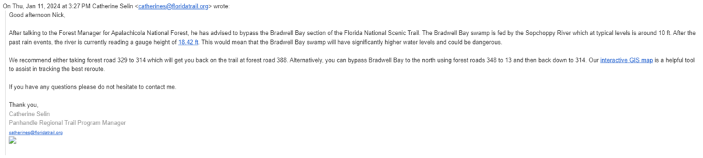
My only other reroute took place at mile 811. The Bradwell Bay section is known to be a wet section even in dry years. I was looking forward to traversing this section with my good friend, the current female FKT holder of the Florida Trail (Miranda "Bopit" Pridgen). She has an abundance of experience with the Florida Trail and has traversed Bradwell Bay 5 times, but she was concerned that with the excessive flooding, the trail was impassable. So her friend that lives nearby decided to drive out and scout the area beforehand, they couldn't even get their car to the trailhead due to all the parallel roads being flooded. My crew reached back out to the FTA Region Manager of the Panhandle (Catherine Selin) to get more information on this section. This was the email that she sent us "Good afternoon Nick [my crew chief], After talking to the Forest Manager for Apalachicola National Forest, he has advised to bypass the Bradwell Bay section of the Florida National Scenic Trail. The Bradwell Bay swamp is fed by the Sopchoppy River which at typical levels is around 10 ft. After the past rain events, the river is currently reading a gauge height of 18.42 ft. This would mean that the Bradwell Bay swamp will have significantly higher water levels and could be dangerous. We recommend either taking Forest Road 329 to 314 which will get you back on the trail at Forest Road 388. Alternatively, you can bypass Bradwell Bay to the north using forest roads 348 to 13 and then back down to 314. Our interactive GIS map is a helpful tool to assist in tracking the best reroute. If you have any questions please do not hesitate to contact me. Thank you, Catherine Selin. Panhandle Regional Trail Program Manager." We followed her recommended reroute by traversing the parallel forest roads with similar mileage (that also happened to be flooded) and reconnected with the Florida Trail at mile marker 832.6. This was the last recommended reroute that I took.
In total, I took mandatory/ recommended reroutes for 77 miles out of the entire 1100-mile trail. Every reroute had similar mileage so I ended up with a total mileage at 1107.3. In all of my communications with the FTA, I made it clear, that any recommended reroutes that they provided should be the same recommendations they would give any thru-hiker, to make sure they weren't giving me any special treatment. Since I was one of the first thru-hikers to traverse the trail for the year, I was often the first person encountering these impassable flooded sections. I was able to share videos with the FTA and they have since warned and recommended the same reroutes for the upcoming thru-hikers. If you take a look at the Florida Trail Facebook page or the official Florida Trail Far Out App you will see numerous thru-hikers sharing their similar experiences with the extreme flooding and how they had to reroute similar to me. If you follow long-distance hiking trails and FKTs you will know that every year the trail changes, and most of the time, trails get longer and harder over time. So every FKT route is inherently different for every FKTer. It's also unlikely that every section of any long-distance trail, especially one that is over 1000 miles, will have every single mile maintained and open to thru-hikers at all times. For example, the Pacific Crest Trail is notorious for having 100s of miles of reroutes every single year and if the FKTer is transparent with any reroutes they took, they are almost always approved even though they didn't hike the exact same previous FKT route. The FKT website states that if an FKTer ignores and doesn't obey trail closures and reroutes from the trail associations, their FKT attempt will not be verified. Quote directly from the FKT Website: “Going into officially closed sections would invalidate an FKT, even if it normally is an open section of the trail.” During the run, we were in contact with FKT staff who said we needed to work directly with the trail association regarding trail conditions and reroutes. My crew was responsible for working directly with the association on the safest option. FKT is not responsible for suggesting any reroutes since they don't have extensive knowledge of the trail like the association does.
I'm so sorry that this entire report had to be about the rerouting situation because this journey was truly life-changing for me and I so wish I could have just talked about all the positive lessons that I learned that could hopefully impact your life!! If you want to hear about the more important things about this journey, connect with me on Instagram! At the end of the day I never did this run to get my name on a website. I will forever be proud of what we accomplished out here!
Thanks again to everyone for all the support, I hope this journey has inspired you to achieve your wildest dreams!!
Comments
You swapped out 10% of the trail with single track…almost like taking a shortcut
Correction. You swapped out almost 10% of the single track with road.
Thats bound to happen in some capacity during a long trail FKT like this. What he did was amazing.