

Mission Report:
Goal-finish. Achievement unlocked. Nice parking area near Vineyard (I think) and San Dieguito entrance. Started around 6:40 a.m. 7 minutes after Max. Weather was awesome...at the start. I followed what is shown on the original route which goes around a road then meets up with the trail. I didn’t map it but there is a trail entrance to the San Dieguito inside the parking lot. It would be worth mapping it to see if you can reach the same distance while utilizing that part of the trail.
First 7 miles were awesome. Well shaded. A little send of a mountain, lovely downhill. Around mile 8, all of the shade disappeared. And stayed mostly disappeared until mile 22. Kipley’s GPX file and notes are pretty much perfect *chief’s kiss.* There are a few spots near the lake that you can tell he started to head toward the water then changed his mind. I did the same thing during my quest for water at mile 20.
The switchbacks up to the power lines ARE ROUGH. Once you get up, turn right at the first (maybe second) set of poles to follow Kipley’s north cut past the private property. I looked at the spot the week before which was very helpful. The gate to the service road is kind of beat up. I got tripped up a little after the gate. Not long on that service road there is a red locked fence (there was a little America flag on the gate when I ran). Turn left there. Do not go down the hill. The hill is rough. This is where I decided to forgo the unsupported plan and take a bottle of water from some very nice bikers. (I hadn’t seen anyone since mile 17. It was hot so I think people chose not to deal with the trail that weekend.)
After the gate you end up on a little trail next to a road. I ended up on the road because there were sensitive habitat signs and I didn’t want to cause a ruckus. At the bottom of the hill, the road is still covered by the creek. It was lovely taking off my shoes and walking through. The water covered the ankle bones at most. Max met me just after the crossing to provide sweet sweet water. Trail continues to the left. Interesting gourds of sorts in the field. A little ways into that section there is a clearing to the right and fence looking thing to the left. Stay left. Up a little incline you’ll hit a road. There are private property signs to the left but a good little path to the road on the right. Well shaded then you hit a main road. Folks were driving FAST. The right side of the street had a little bit more room on the shoulder but you can’t see the traffic coming behind you. Stay on the right side of the road to turn down the second street after the bridge. I almost missed it but Max the water and ice fairy was there with more sustenance.
Continue down the road and there is a private property sign leading into a golf course. Seems silly to put a golf course in the middle of a running trail. I stayed on the far left service road as much as possible. No one bothered me. There was a little footbridge right before a trail exit on the left. There are a whole bunch of soccer fields at this point. I didn’t come across any need to wack any bushes to get to the next road. The trail is narrow but not awful. There is a little service road to the right if you don’t want to be one with nature. After crossing the street you’ll get to see some horsies as the trail continues with better signage. There is a point on this trail where you have the option to go left for a hikers only trail or stay right. I stayed right to avoid any extra hillage. The rest of the route is smooth sailing. You catch the road a few miles up and then start seeing civilization again. It would be really fun if this route ended in the water. Not during Rona times because the beach is so busy, but I think that would be a really fun (and refreshing) way to end the run.
10/10 would run again when cooler and would bring more water. I had a 2L reservoir of water and a few small water bottles with Tailwind. Went through 10 GUs. There are porta potties along the route between miles 10 and 20 and a few more across the soccer fields after the golf course.
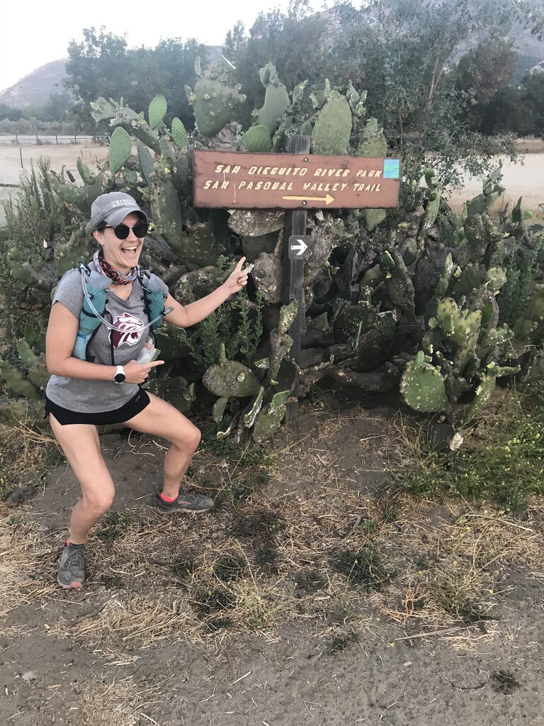
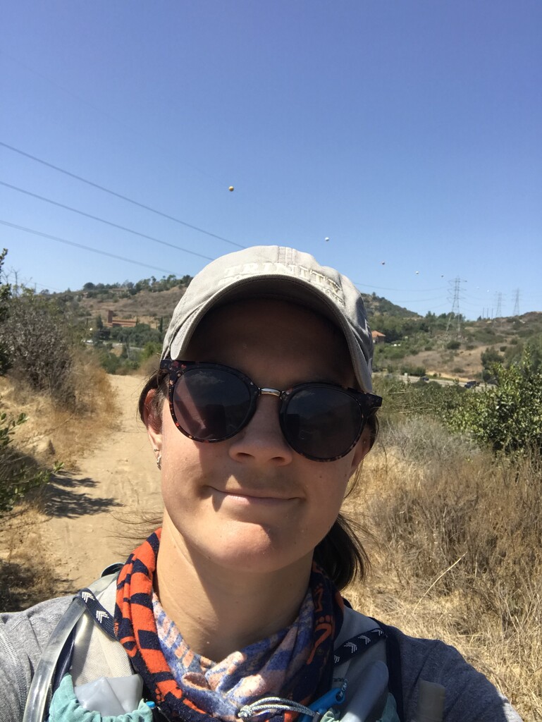
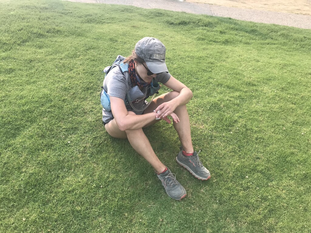
Photo1: Start; Photo2: around mile 20; Photo3: around mile 30 (after the horsies); Photo4: Finish; Photo5: Finish, fighting with my watch to end the run
Link to write up on Google Docs. If I add anything the report the new notes will be in red.