Trip report link with MANY photos: https://www.facebook.com/media/set/?set=a.10100710871076874&type=1&l=e5cc04aabb
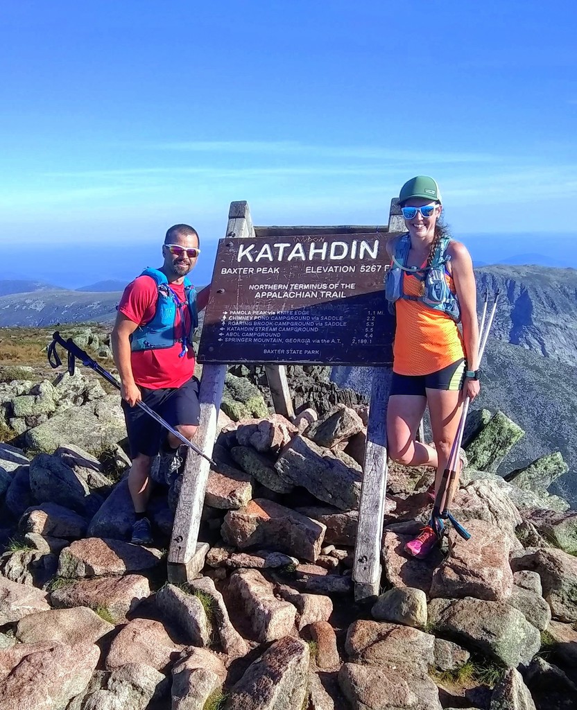
Setting an FKT is something that’s been on my mind for awhile. I didn’t feel like there were many of them that were within my reach, but I knew that the longer the challenge the better chance I had of succeeding. I’m not super fast, but I can do big miles for days on end. After I did a single-month round of the NH48 in July, I felt really confident in my abilities and wanted to take on something bigger. On August 1st I decided that I was ready to attempt the NE67 FKT. It had never been done by a woman, so originally my only intent was to get it done in about 2 weeks and establish a women’s record. I mentioned my plan to Jason Beaupre, who is my hiking buddy and also happens to be the one who set the overall NE67 FKT. He encouraged me to try for 10 days, which would beat his record by 2 days and 17 hours. I basically laughed at him, thinking I didn’t stand a chance of beating his record. As the planning came together though, I began to see how it could be possible. I made an 11-day schedule, which I felt was very realistic, and then, again at Jason’s urging, pared it down to a 10-day schedule. I planned to start on Saturday, August 11th.
On Friday afternoon I left work early to make the 6-hour drive to Baxter State Park. Jason had offered to hike with me for the weekend, so we met up along the way and carpooled. I was extremely grateful for his help and expertise because I’m not very familiar with the Maine peaks, and I was feeling overwhelmed by all the logistics of the first day. Unfortunately, we hit a ton of traffic on the drive up, which added about an hour and a half to my trip. By the time we went to bed that night it was around 11, and we had to be up at 4:30. I don’t think I slept at all.
Day 1
Hike 1: Baxter and Hamlin, 11 miles, 4,879 ft. elev. gain, 3 hrs. 54 mins.
Hike 2: North Brother, 8.3 miles, 3,130 ft. elev. gain, 2 hrs. 57 mins.
Hike 3: Avery Peak + West Bigelow, 8.9 miles, 3,193 ft. elev. gain, 3 hrs. 45 mins.
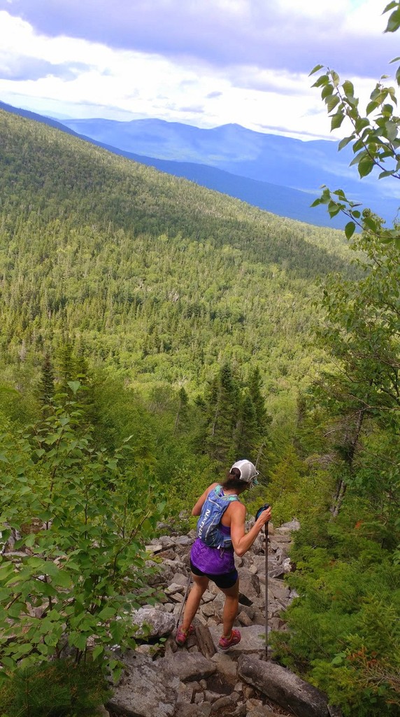
We were at the Togue Pond gate at 5:00 on Saturday morning, and there were only about 5 cars in line ahead of us. I hadn’t been able to reserve a parking pass ahead of time since I planned my trip at the last minute, so I was nervous about getting a spot, but it looked like we had a good chance. Jason made breakfast while we waited for the gate to open at 6:00, and we chatted with a friend who was there to hike Fort. When the gate opened, we got through in no time with a parking pass for Abol Campground, and we were at the trailhead and ready to go by 6:30. Official sign-in time at the ranger station was 6:31 a.m. We did a lot of running up the Abol Trail to Baxter, across to Hamlin, and then back down. We met a ton of people ascending the slide as we came down, and they were all amazed that we had already been to both peaks!
I did the North Brother hike solo while Jason stayed at the van to cook some food for me. It was super hot, and every time I crossed a stream I wished I could just lay in it. I did a lot of running again on this hike because we had a ton of driving to do to get to the third hike of the day, and I knew the hikes needed to be fast if I wanted to sleep. When I was done I did some stretching and went for a quick swim to cool off and clean up, and then we hit the road again. I ate and then napped while Jason drove the 3 hrs back to Newport, ME where we had left his truck.
From there we drove another 2 hrs. to the Bigelows for my third hike of the day. Jason and I started up the Fire Warden’s Trail just after 7:00 p.m. and headed out to Avery Peak first and then West. We met people on both peaks who were there to watch the meteor showers, so we stopped briefly on West Bigelow hoping to see something, but it was a cloudy night and we didn’t have any luck. We finished our hike around 11, quickly ate some leftovers for dinner and went to bed.
Total Hiking Miles: 28.2 miles
Total Elevation Gain: 11,202 ft.
Total Hiking Time: 10 hrs. 36 mins.
Total Driving Time: 6 hrs.
Total Sleeping Time: 6 hrs.
Day 2
Hike 1: Sugarloaf, Spaulding, Abraham, Redington, South Crocker, North Crocker, 22 miles, 7,030 ft. elev. gain, 8 hrs. 36 mins.
Hike 2: Saddleback + The Horn, 7 miles, 2,855 ft. elev. gain, 3 hrs. 41 mins.
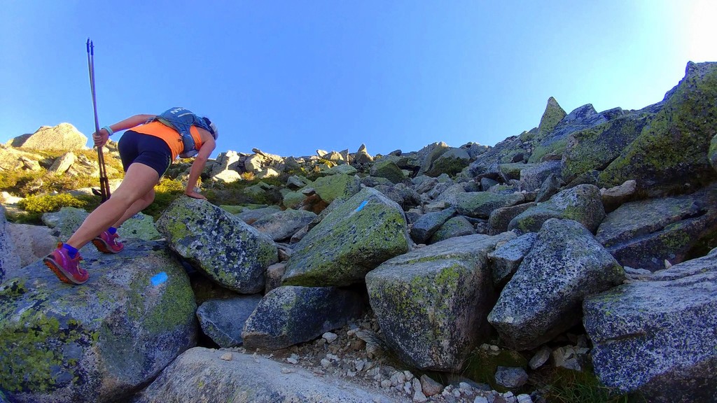
We were up at 6:00 a.m. on Sunday morning for another big day. I thought 6 hrs. of sleep was pretty rough–little did I know how much worse it was going to get! The major hike of the day was a 22-mile loop of the 6 peaks known as the Carrabassett 6. Jason did the hike with me, but wasn’t feeling well during the ascents of Sugarloaf and Spaulding, so after Spaulding he sent me on ahead to do the out-and-back to Abraham solo while he took the time to eat and drink and rest. He was back to his normal self by the time I got back, and he guided me through the logging roads to the herd path up Redington. South and North Crocker were fairly quick and easy after that, but the heat was getting to me on the climb back up to South Crocker, and my knees started hurting on the final descent.
Jason had to head home at that point, but he helped me quickly make dinner before he left, which I ate half of and saved the rest for after my night hike. Then, I made the hour drive over to the Saddleback ski resort to hike Saddleback and the Horn solo. This was probably my favorite hike of the whole trip. I enjoyed a beautiful sunset that just kept getting better as I traversed out-and-back along the ridge. The descent was a little tough because my knees were bothering me pretty bad, so I took it slow and didn’t run at all. I was in bed by 11 and set my alarm for 5 the next morning.
Total Hiking Miles: 29 miles
Total Elevation Gain: 9,885 ft.
Total Hiking Time: 12 hrs. 17 mins.
Total Driving Time: 1 hr. 20 mins.
Total Sleeping Time: 6 hrs.
Day 3
Hike 1: Old Speck, 7.5 miles, 2,909 ft. elev. gain, 3 hrs. 52 mins.
Hike 2: Waumbek, 7 miles, 2,572 ft. elev. gain, 3 hrs. 40 mins.
Hike 3: Cabot, 7.7 miles, 2,697 ft. elev. gain, 4 hrs. 4 mins.
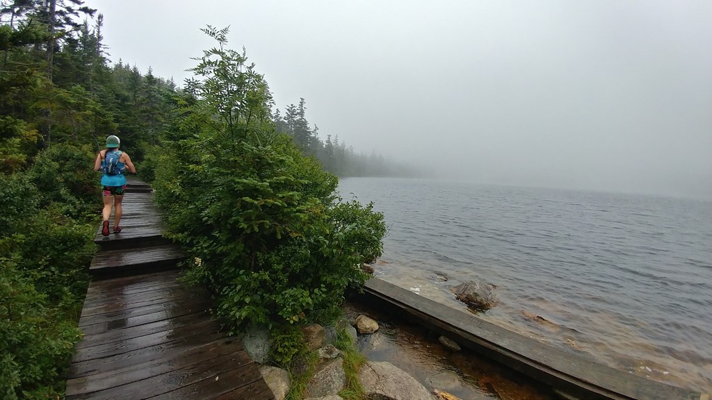
Monday morning started with an hour and a half drive to Grafton Notch to hike Old Speck, my last Maine peak. I was solo the whole day, but I was back in familiar territory again so I didn’t mind. The 7.5 mile Old Speck hike took me almost 4 hours because my knees hurt so bad that I was basically using my poles as crutches on the descent. I had originally planned to follow this hike with a traverse of the Wildcats, Carters, and Moriah, but I decided to scrap that and do the easier hikes of Cabot and Waumbek. I needed to also do Hale with this grouping in order to stay on schedule, but I opted to leave it for another day, hoping that with a few less miles and some much easier terrain my knees would recover.
It was an hour drive to Waumbek, and I took it slow and easy on the hike and felt a little better. Afterwards I stopped at the little dam at the end of the trail to soak my legs for awhile, then made the 15 min drive to the trailhead for the unmaintained Cabot trail.
I had never done this trail before, but Jason suggested it to me as a good way to save driving time and trail mileage. I found the old trail very easy to follow, and I always love exploring new routes! The summit was in the clouds so there wasn’t anything to see from the cabin, but I caught a glimpse of an amazing sunset through the trees on my way down. I drove back to the Starr King trailhead for the night and washed myself off in the dam again, had peanut butter and jelly sandwiches for dinner because my stove broke, and was in bed at 11.
Total Hiking Miles: 22.2 miles
Total Elevation Gain: 8,178 ft.
Total Hiking Time: 11 hrs. 36 mins.
Total Driving Time: 3 hrs. 25 mins.
Total Sleeping Time: 6 hrs.
Day 4
Hike 1: Wildcat D, Wildcat A, Carter Dome, South Carter, Middle Carter, Moriah, 17.8 miles, 6,839 ft. elev. gain, 10 hrs. 29 mins.
Hike 2: Willey, Field, Tom, 7.9 miles, 3,594 ft. elev. gain, 4 hrs. 9 mins.
I was up at 5, and my knees were not feeling any better, but I figured that was just the way things were going to be, so I decided to proceed with the schedule as planned. I drove the 40 mins to the Glen Ellis trailhead and started out on my 18-mile traverse of the Wildcats, Carters, and Moriah. My husband Peter would be picking me up at the end of the day so that I wouldn’t have to hitchhike back to my van. It was raining when I started and continued for most of the day. This is a hike with nothing but steep, rocky ups and downs–not easy to do when the rocks are slippery and your knees don’t work. I also realized that I didn’t pack enough warm layers for traveling at a slow pace on such a wet, chilly day and nearly froze to death between Carter Dome and Middle Carter. At that point the rain finally stopped, and the sun came out. I made it to Moriah, and was heading down the Carter-Moriah trail when I met Peter hiking up. He brought me two egg and bacon sandwiches, which disappeared in seconds. I was hoping to finish this traverse in 9 hrs, but it took me 10.5. I soaked in the river for a bit afterwards, and then we made the hour drive to Crawford Notch for my second hike of the day, picking up the van on our way.
I started the traverse of Willey, Field, and Tom at 7:20, while Peter cooked dinner for me and then drove to the Highland Center to pick me up. On the Field summit a pair of little owls flew in to check me out and seemed to be mesmerized by my headlamp. They flew away when I tried to offer them a snack. Peter hiked in to meet me at the spur trail for Tom, and then we hiked out together. The final descents at night were always mentally tough for me because they seemed to go on forever, my knees were killing me, and I just wanted to be done so I could sleep. I didn’t get to bed until about midnight that night.
Total Hiking Miles: 25.7 miles
Total Elevation Gain: 10,433 ft.
Total Hiking Time: 14 hrs. 38 mins.
Total Driving Time: 1 hr. 50 mins.
Total Sleeping Time: 5 hrs.
Day 5
Hike 1: Carrigain, 14.3 miles, 3,969 ft. elev. gain, 6 hrs. 6 mins.
Hike 2: Passaconaway, Whiteface, Middle Tripyramid, North Tripyramid, 15.1 miles, 5,380 ft. elev. gain, 7 hrs. 55 mins.
This day was originally supposed to be a Presidential Range traverse because that would have been more efficient for driving time, but the weather forecast said there was a chance of severe thunderstorms for that area, so we decided to swap days. I was up at 5, and we just had a 10-minute drive for our hike up Carrigain. After being wet all day the day before, my feet were not too happy with me on this day. Thankfully there’s lots of easy walking on the road and the flat sections of trail, and I was able to make pretty good time on this hike and finished in just over 6 hours. I soaked in the river when we were done while Peter made lunch, and then we drove over to the Kanc for the Sandwich Range traverse.
The last time I did this traverse I went up Passaconaway via the Downes Brook slide, and it was so quick and easy that I decided to do that again this time. Unfortunately, I messed up my navigation a bit this time and got into the wrong drainage. We had to do a little bushwhacking to get to the herd path at the top of the slide which leads to the summit, but we still made it to the top in 2 hours flat. From there it was all lots of little ups and downs as we made our way over Whiteface, the Sleepers, and the Tripyramids. The descent was long and slow and painful. I soaked in the river again while Peter made dinner. We finished at 10, but then it took us about an hour and a half to set up our car spot and drive north so that we could be ready to go first thing the next morning for the Presidential traverse. We saw a lot of storm damage on our drive up, and we were very glad that we had changed our plans. I think I might have gotten to bed by 12:30 that night.
Total Hiking Miles: 29.4 miles
Total Elevation Gain: 9,349 ft.
Total Hiking Time: 14 hrs. 1 min.
Total Driving Time: 1:55
Total Sleeping Time: 5 hrs.
Day 6
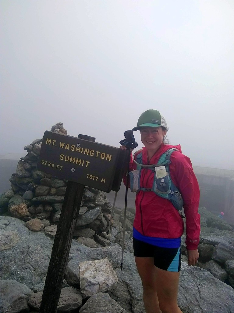
Madison, Adams, Jefferson, Washington, Isolation, Monroe, Eisenhower, Pierce, Jackson, 27 miles, 10,932 ft. elev. gain, 16 hrs.
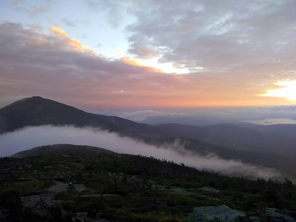
I let myself “sleep in” until 5:30 so I could still get 5 hours of sleep, and we were on the trail at 6:20. It was raining lightly when we started, but the forecast called for clearing by mid-morning. When we got above treeline, we were a little intimidated by the conditions. It was socked in so bad we could barely see to the next cairn, it was cold and windy, and the rocks were wet and slippery. We put all our layers on and wished we had more. It was slow going all the way to Washington, but we were starting to see brief glimpses of clearing skies by that point. We stopped at the cafeteria on the summit to get pizza, and I demolished two slices and could easily have eaten more. We headed out via Boott Spur to do the out-and-back to Isolation, which I’ve never done as part of a Presi traverse before. I definitely liked doing Isolation this way, though the Davis Path was very wet, so my shoes got soaked again and worsened my foot pain. Once we left Washington the skies completely cleared, and we had sun for the rest of the day. Peter got a little lost when he went ahead of me and accidentally took the Dry River Trail thinking it was the spur to Isolation. He figured it out and came back, but not in time to join me for the summit. The rest of the hike went well, but Peter was ready to be done after Pierce, so he went as far as Mizpah Hut with me and then bailed down the Crawford Path, while I continued on to Jackson alone. I always hate the descent from Jackson, but I got it done, and finished the 27-mile hike in 16 hrs flat. I felt good about this time, especially given the tough conditions at the beginning of the day, and for the first time I really believed that I was capable of finishing this challenge in 10 days. Peter had dinner ready for me when I got to the car, and then we had to drive back up to Appalachia to collect our van, so it was about midnight again by the time I got to bed.
Total Hiking Miles: 27 miles
Total Elevation Gain: 10,932 ft.
Total Hiking Time: 16 hrs.
Total Driving Time: 1 hr. 10 mins.
Total Sleeping Time: 5 hrs.
Day 7
Hike 1: Hale, 4.1 miles, 2,276 ft. elev. gain, 2 hrs. 2 mins.
Hike 2: Owls Head, 15.7 miles, 3,364 ft. elev. gain, 6 hrs. 53 mins.
Hike 3: South Hancock + North Hancock, 9.3 miles, 2,758 ft. elev. gain, 4 hrs. 16 mins.
I was up at 5 again as usual for a quick 4-mile hike of Hale with Peter. After that Peter headed out to spent a night at home. He was not feeling well and needed some recovery time, and I needed him to do a bunch of errands for me, and most importantly, pick up the new shoes that I had ordered because my old ones were trashed, and my feet were killing me.
He made me lunch and cleaned the van before he left, and I headed out from Lincoln Woods for a solo hike of Owls Head. I took the Black Pond bushwhack to save time, and found that the herd path was very easy to follow. I soaked in the river afterwards, and then I just had a short drive up the Kanc to the Hancock trailhead.
Jason came up for the weekend after work on Friday night, and offered to help me out while I was on my own. I had summited both peaks and was on my way down from North Hancock when I ran into him coming up the trail. We hiked out together, and then he made me a quick dinner, and I got to bed around 11.
Total Hiking Miles: 29.1 miles
Total Elevation Gain: 8,398 ft.
Total Hiking Time: 13 hrs. 11 mins.
Total Driving Time: 1 hr. 25 mins.
Total Sleeping Time: 6 hrs.
Day 8
Hike 1: East Osceola + Osceola, 7.1 miles, 3,099 ft. elev. gain, 3 hrs. 40 mins.
Hike 2: North Kinsman, South Kinsman, Cannon, 10.9 miles, 4,766 ft. elev. gain, 5 hrs. 55 mins.
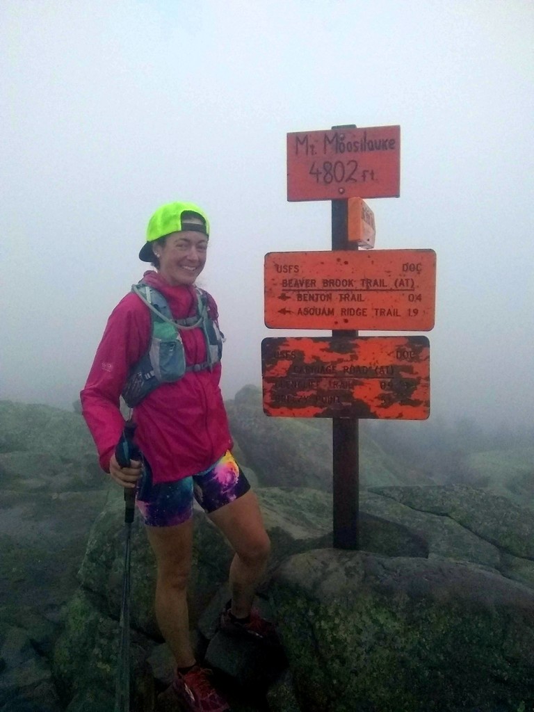
Hike 3: Moosilauke, 7. 3 miles, 2,510 ft. elev. gain, 3 hrs. 49 mins.
It was raining when I got up at 5, but after a quick pancake breakfast Jason kept me company on the dreary hike of the Osceolas and then the Kinsmans and Cannon. We left the van at the tram parking lot and started at Lafayette Campground so that we could do this hike as kind of a traverse. I liked this route a lot better than the typical loop, but it’s still a tough hike with lots of very steep sections, and my right knee was absolutely killing me on the Cannon descent. I rested for a bit afterwards and iced my knee before driving over to reunite with Peter at the Moosilauke trailhead. Peter brought a family size pizza for me, and I ate the entire thing between that night and breakfast the next morning. We didn’t have any rain on the Moosilauke hike, but it was still socked in, so not a single view for the entire day. Thankfully, my knee didn't hurt nearly as badly on this descent since it wasn't as steep!
Total Hiking Miles: 25.3 miles
Total Elevation Gain: 10,375 ft.
Total Hiking Time: 13 hrs. 24 mins.
Total Driving Time: 1 hr. 40 mins.
Total Sleeping Time: 5 hrs.
Day 9
Flume, Liberty, Lincoln, Lafayette, Garfield, Galehead, South Twin, North Twin, Zealand, West Bond, Bond, Bondcliff, 37 miles, 11,440 ft. elev. gain, 19 hrs. 35 mins.
Peter and I got up at 4:00 to get an early start on the biggest hike of the trip. I’ve never done a 12-summit Pemi Loop, and I was very intimidated by this hike. I purposely left it for my last day in the Whites because I was worried that it was going to destroy me. It started out well, and I felt good all along Franconia Ridge. I ran into Brianna Tidd and her dad near Lafayette, and she recognized me and knew what I was doing, so that was pretty cool. Once we started climbing towards Garfield my wheels fell off. For the first time since I started, I felt like I didn’t have any fuel left in the tank, and I couldn’t even make 2 miles per hour. We stopped at Galehead Hut to refill on water, and I wolfed down 3 pieces of coffee cake and bought 2 Snickers bars to enjoy later. I hoped that the extra calories would perk me back up, but they didn’t. We made it to West Bond for an amazing sunset and met another hiker there that ended up hiking out with us. By the time we hit the base of Bondcliff, I was so tired and my feet hurt so bad that I had to lay down on the trail for a quick recovery nap. I got cold after a few minutes and woke up, so we trudged on and finally made it out at 1:00 a.m. I went straight to bed without even changing or eating. Well, I tried to eat, but I woke up later with the croissant still in my hand!
Total Hiking Miles: 37 miles
Total Elevation Gain: 11,440 ft.
Total Hiking Time: 19 hrs. 35 mins.
Total Driving Time: 20 mins.
Total Sleeping Time: 4.5 hrs.
Day 10
Hike 1: Tecumseh, 4.9 miles, 2,205 ft. elev. gain, 2 hrs. 49 mins..
Hike 2: Mansfield, 5 miles, 2,788 ft. elev. gain, 3 hrs. 4 mins.
Hike 3: Camel’s Hump, 4.75 miles, 2,287 ft. elev. gain, 2 hrs. 51 mins.
Hike 4: Ellen, Abraham, 9.7 miles, 3,615 ft. elev. gain, 5 hrs. 35 mins.
Hike 5: Killington, 5.3 miles, 1,740 ft. elev. gain, 1 hr. 57 mins.
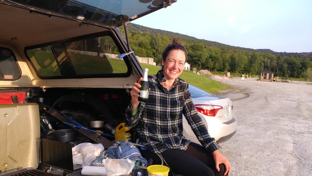
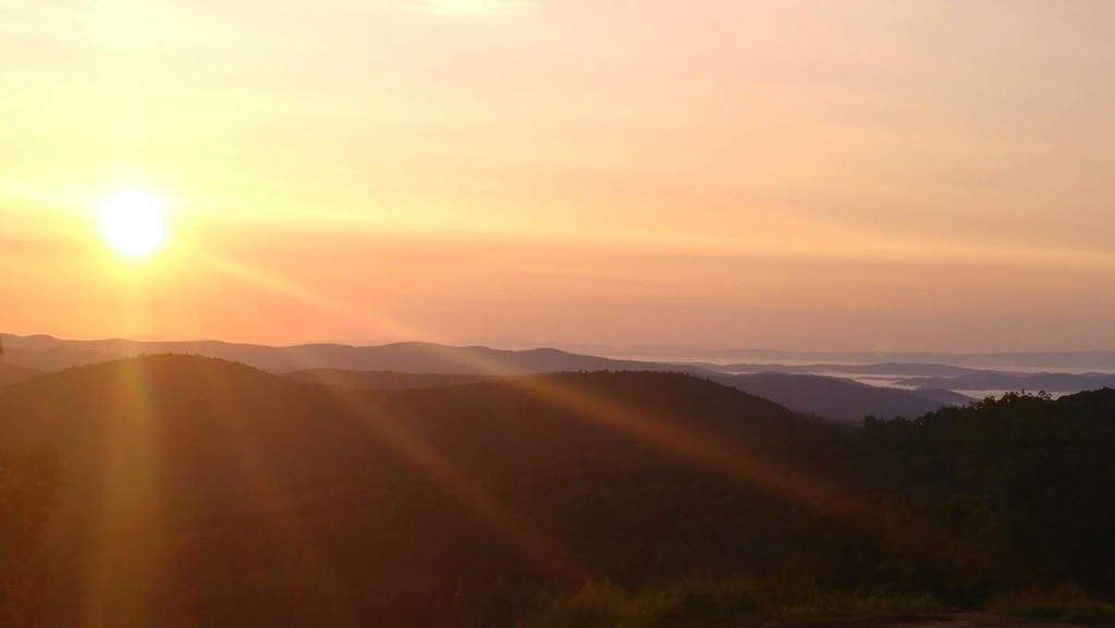
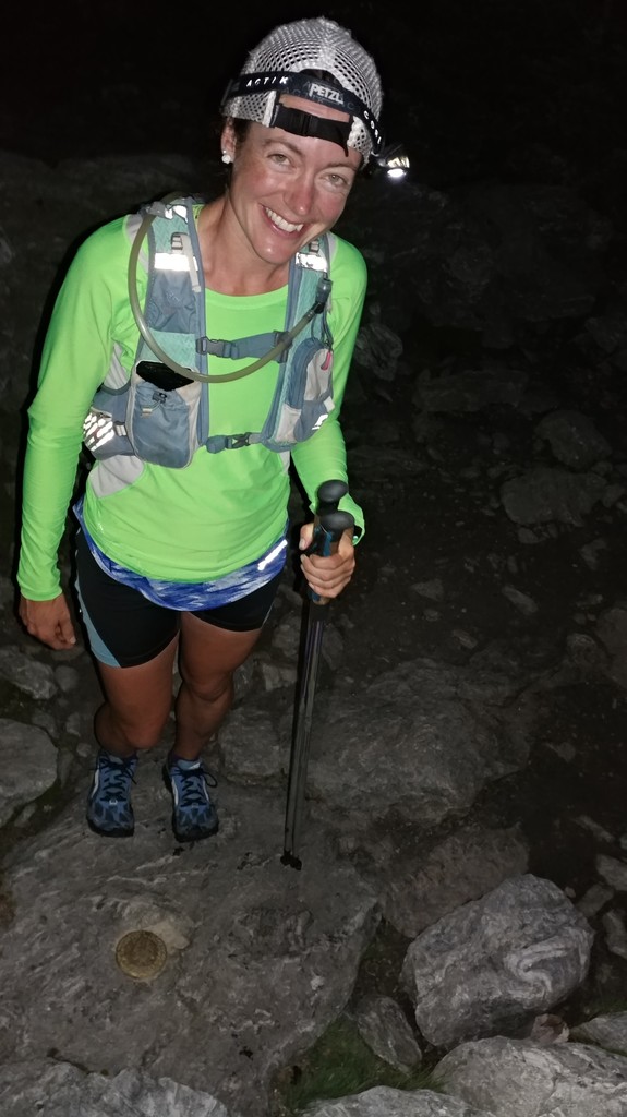
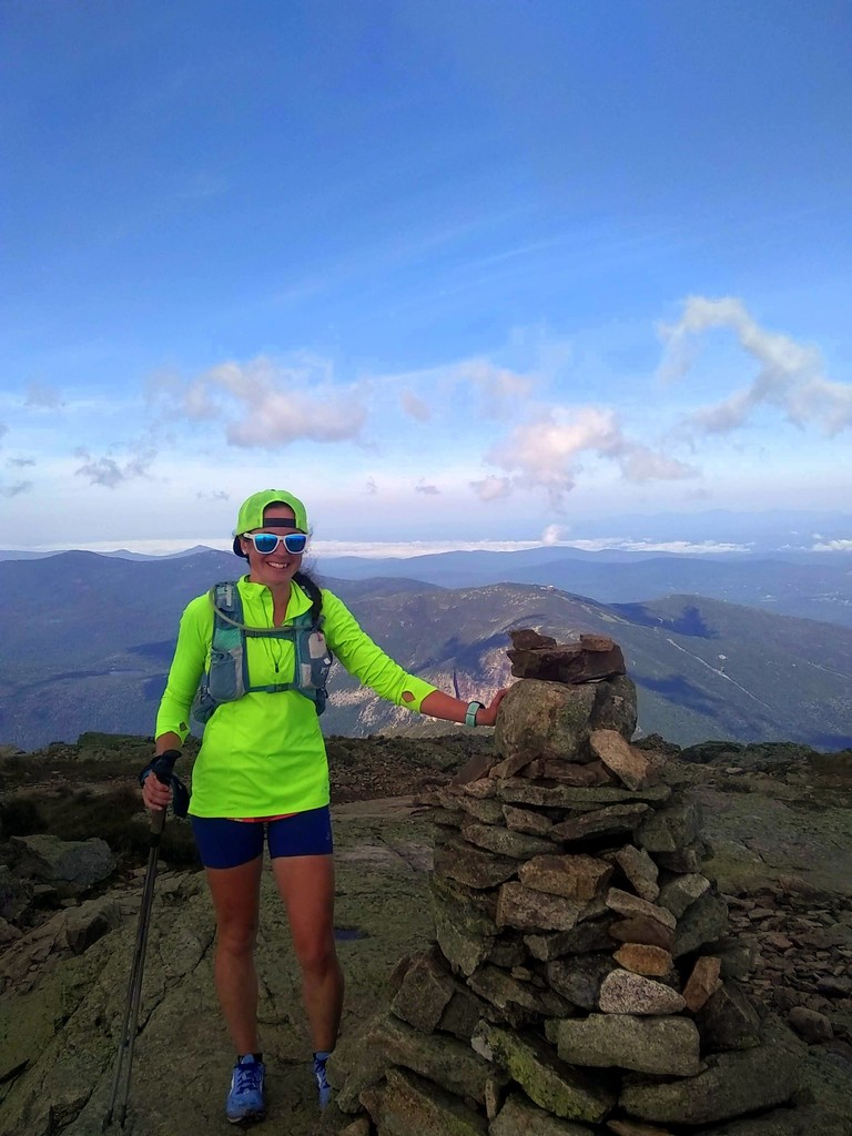
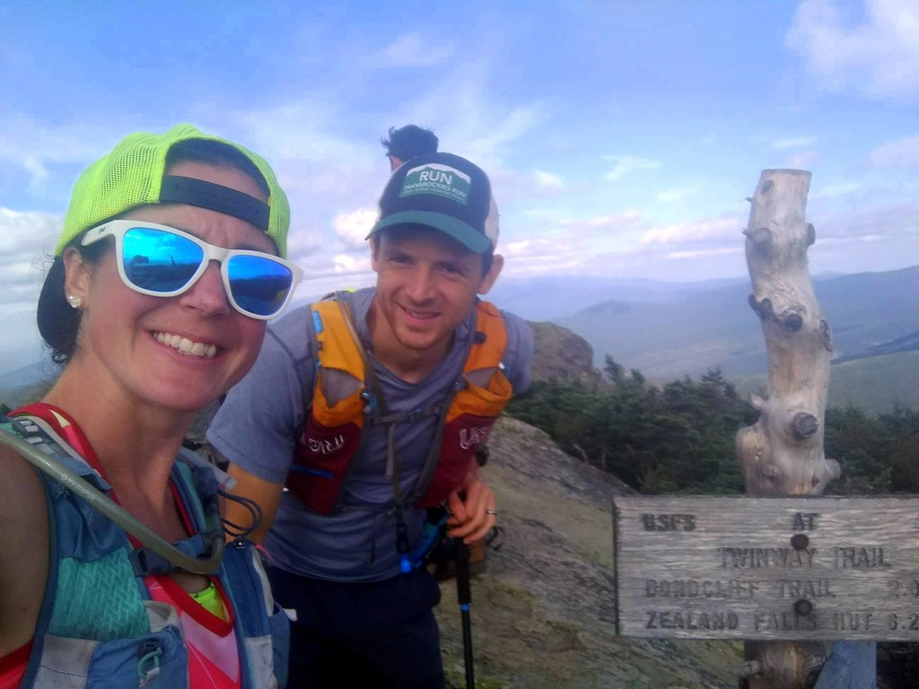
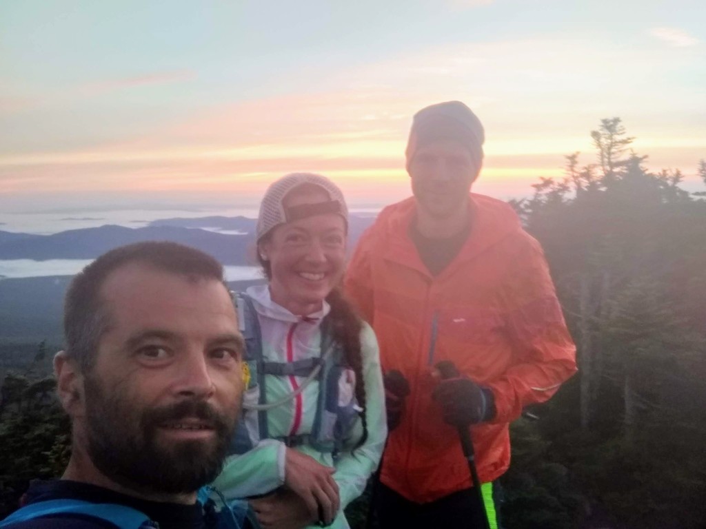
I got up at 6:00 on the last day and had a hard time getting motivated after such a hard day yesterday and so little sleep. I knew I was going to have to hike through the night to finish up the remaining peaks in 10 days, and I just plain did not want to do that. Once I got going though I felt better, and my resolve to finish in 10 days returned. Peter and I made a plan to leave our second vehicle in the Whites so that Peter could drive for me, and I could get some rest. I started the final day at 7:30 a.m. with Tecumseh, then we drove 2.5 hrs. to VT and were heading up Mansfield at 1:20 p.m. Peter joined me for Mansfield, but opted to sleep for the next two hikes so that he would be awake enough to drive. My solo hike of Camel’s Hump began at 5:30 p.m., and I set out for Ellen and Abraham at 9:20 p.m. Jason had texted me during the day and said that he wanted to come over after work for my finish, so we made last minute plans to meet at Abraham. I went up the Sugarbush ski trails to the Ellen summit. I heard two moose and nearly stepped on a porcupine on the way! Then I traversed the ridge and ran into Jason on Lincoln peak. We did the out-and-back to Abraham together, then descended the Lincoln peak ski trails and met up with Peter. Then we were all off to Killington. We started at 4:30 a.m., just in time to enjoy the sunrise the whole way as the three of us hiked up the ski trails. At the summit we realized that I had 35 minutes left to finish in under 10 days, so we skipped the champagne and ran all the way down. My official finish time was 9 days, 23 hrs. and 57 mins, and I beat the record by 2 days and 17 hrs.
Total Hiking Miles: 29.65 miles
Total Elevation Gain: 12,635 ft.
Total Hiking Time: 16 hrs. 16 mins.
Total Driving Time: 6 hrs. 15 mins.
Total Sleeping Time: 0 hrs.
Overall Hiking Miles: 282.25 miles
Overall Elevation Gain: 102,831 ft.
Overall Hiking Time: 141 hrs. 34 mins.
Overall Driving Time: 25 hrs. 20 mins.
This was by far the most daunting and fulfilling adventure I've ever done. It was even harder than I thought it would be, but at the same time it went a lot more smoothly than I thought it would. I loved every single excruciating, exhausting second of it, and I would do it again in a heartbeat.
I got to chase a dream and see it come true, and I am so grateful to everyone who had a part in it. Huge thanks to Peter and Jason for being my main support crew and hiking a ton of miles with me. Also, to my parents and grandmother for allowing me to take the time off of work and filling in for me while I was gone. And finally, I can't thank all my friends and family enough for the constant encouragement while I was out on the trail. It kept me going day and night, and made me feel like I was doing something really special.