


I just discovered some people started to do the N-S crossing of Iceland, which is a great journey. So let's add mine as I was the first to do the unsupported trip.
Firstly, let's explain my journey that differs from the map shown by other FKT people. I'm interested in the wild and avoiding the roads and official hiking paths. I used some to do sightseeing but as you can see my route is way shorter (and longer in time, 19 calendar days) for several reasons:
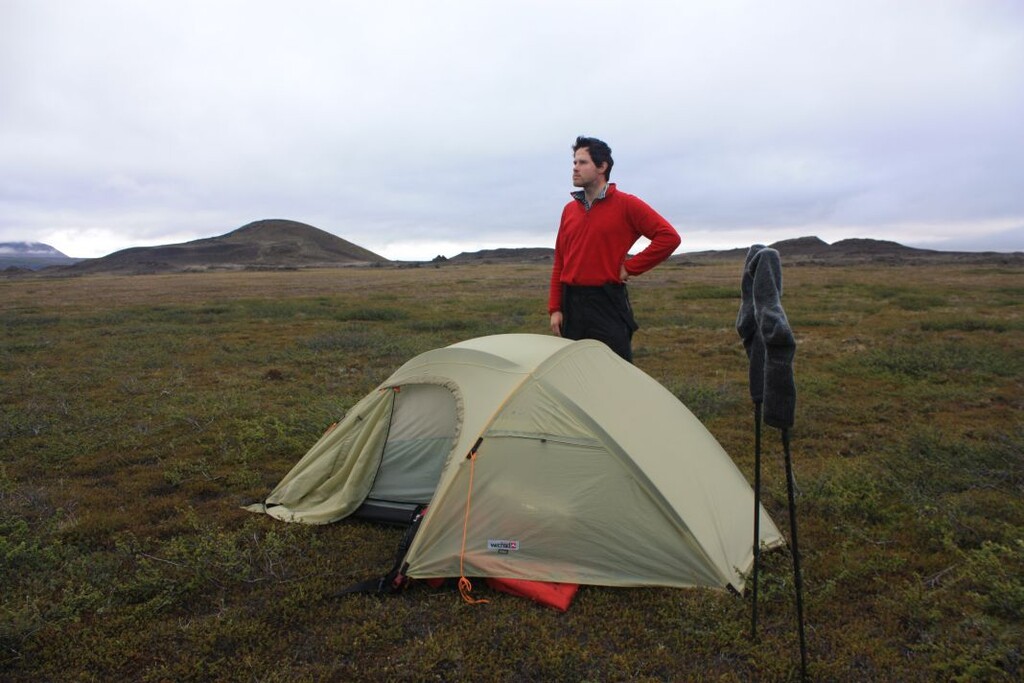
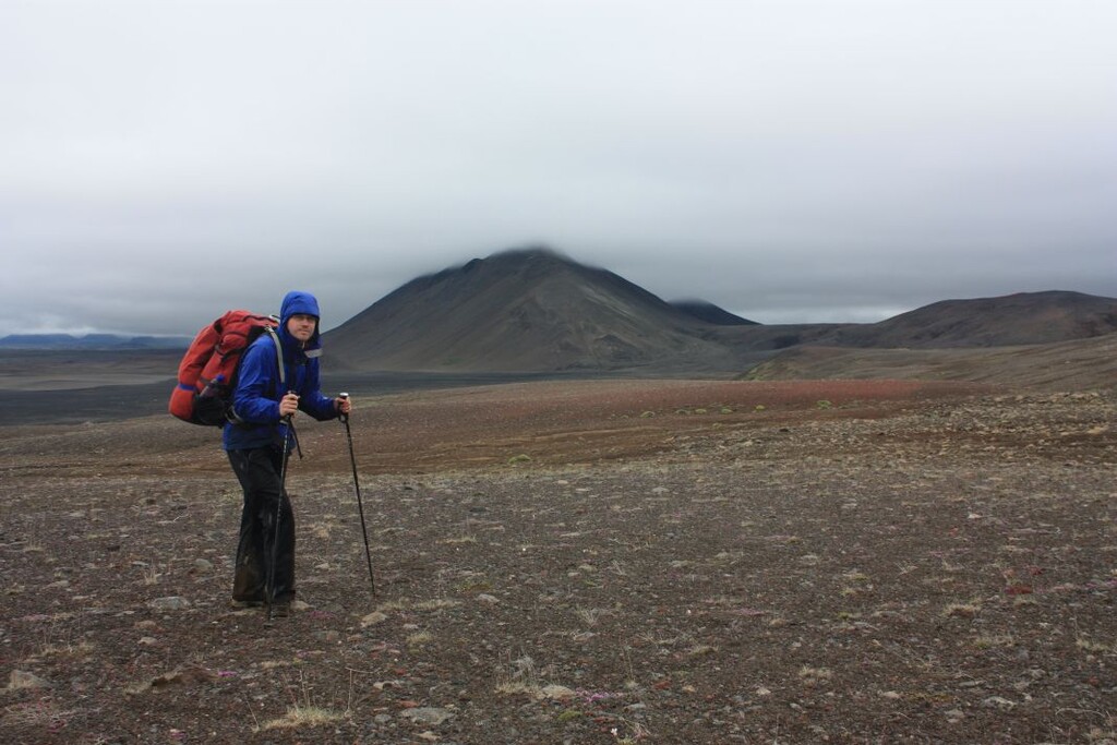
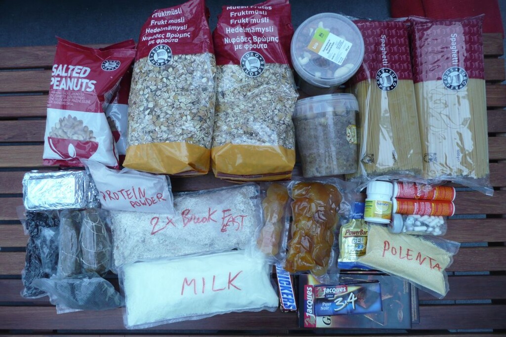
* I had more food (weight) for the science equipment, the 2 cameras, tripod, the tapes (K7 by then) that means slower.
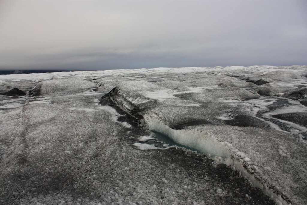
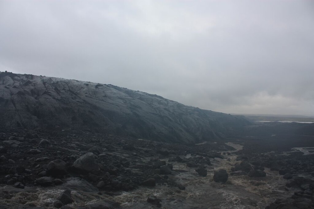
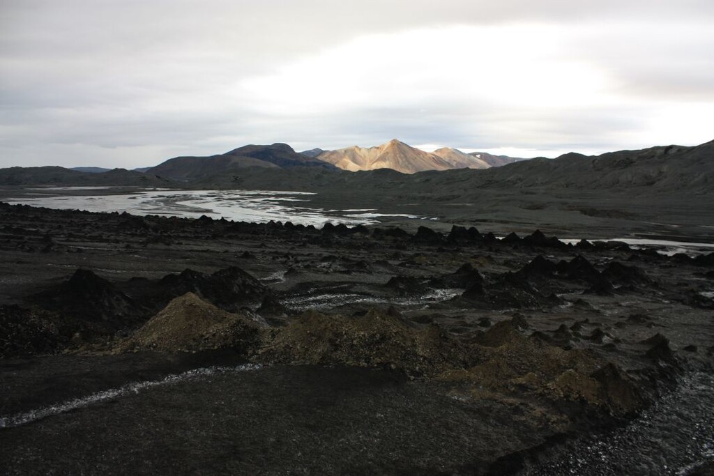
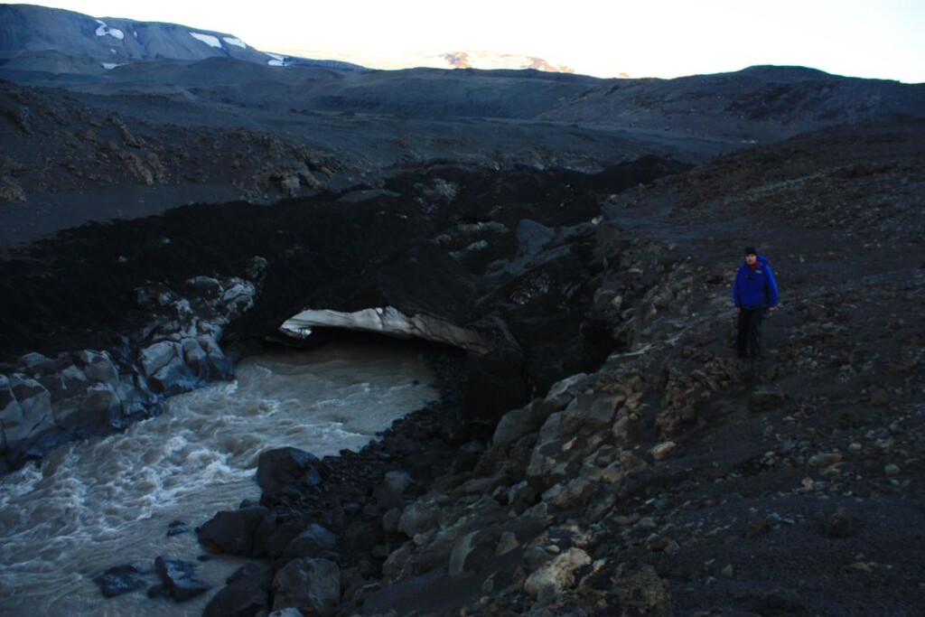
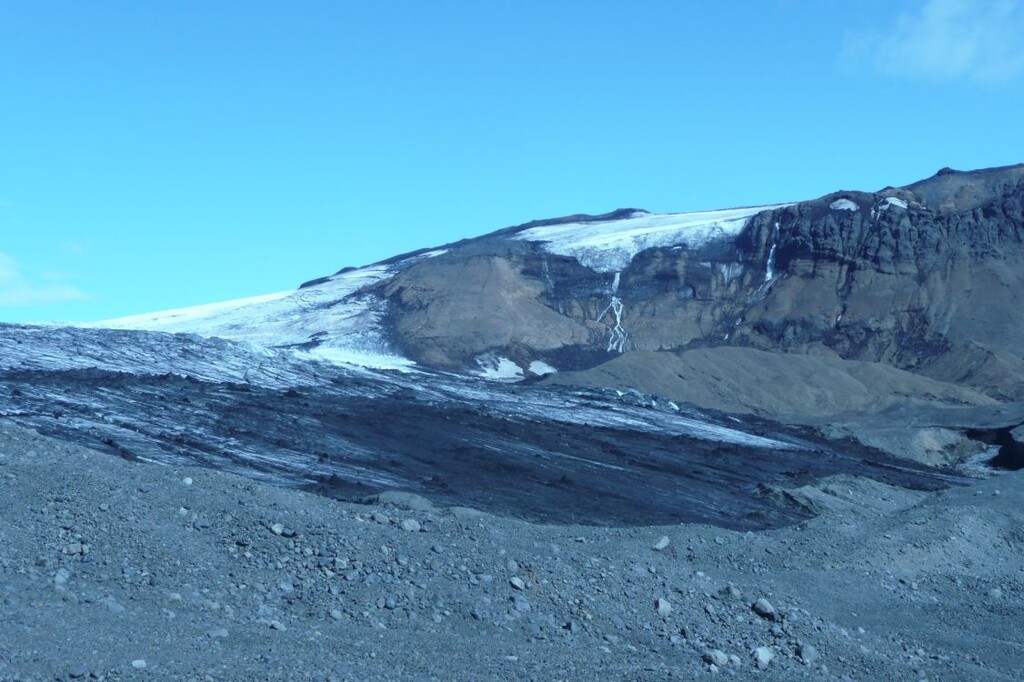
* If you remember year 2010, there was the eruption of the volcano and most the the ice was black because of the ash (see some of my photos). So walking on the glacier (Vatna, Myrdal) was like walking on carpet (easy) untill the rain wasked it out (i had no crampons) and this was super dangerous to not fall in a crevasse. So why on hell did I go on the glaciers? Because when the ice is black and the sun shines, it melts super fast. The rivers and streams were impassable or too dangerous, they even changed course. Some streams out of the glacier disappeared and new ones were born.
Also my route goes between extreme lattitudes of the main island of Iceland. Rifstangi is the furthest point North and were I stopped at the sea South is the furthest point South. The furthest point where the lighthouse is were all other starts, well sorry, like me you had to visit both points and start where your GPS shows the furthest point North. In 2010, it was not obvious, now, we can see it with GoogleMaps/Earth no problem.
The TV RUV validated by then also my GPS points as a Brit claimed he was first. He had intended to resupply, had an injury and took an antibiotic from a person he met + exchanged some food for other food at his midpoint place. I just showed the emails where he admitted this and the TV/journalist validated my world first.
My GPX has no timestamps. I added also my KMZ that has 3 tracks of other people who walked in Iceland a year or two before to compare my route (mostly off-track) and their incomplete route, which was also resupplied.
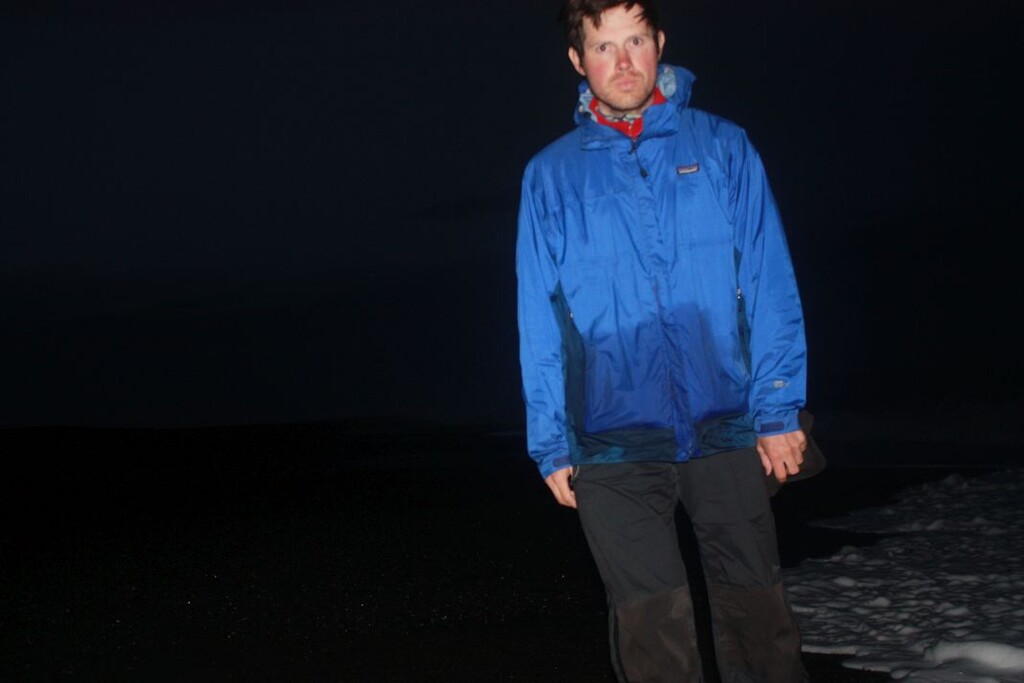
I don't care being slow compared to now, actually a year before me a French did it in 10 days unsupported (so in 2009) in ultralight but like the FKT of today, he used more roads, vehicle tracks and hiking trails. My photos are timestamped with the EXIF. I labelled the first photo starting with "START" and the last one with "END". The EXIF data shows: 12/07/2010 - 7h45 and 30/07/2010 - 23h10.
I used the bridge of the Jokulsa then 2 tiny bridges on a short hiking trail. For the rest, no bridges, all rivers had to be swam across, which was dangerous as super cold and you can imagine with the fast flow due to the fast meltdown. On my expedition site, I show a graph of that. Also a total distance of 430km liking my GPS points. I reality I estimate the pure walking of around 560km but that is not so important. I linked the 2 "extreme" points unsupported and that my my only goal.
Editor: This is the first recorded unsupported N-S traverse. It is flagged here since it ended at another south point (20 km east) than the Dyrhólaey lighthouse (see text above).