Route: Breakheart Trail (RI)

Location
Rhode Island, US
Distance
9.5 mi
Vertical Gain
840 ft
Description

This route is an out and back of the complete Breakheart Trail in Arcadia Management Area in Rhode Island - 10 miles total.

From Rhode Island DEM: 
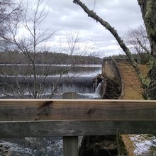
Starting Point: Austin Farm Road, a short distance east from the bridge below the Fish Ladder Dam at Breakheart Pond. 
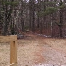
Description: Trail skirts east side of Breakheart Pond, crosses Breakheart Brook, goes through woods and two lovely pine groves, crosses Acid Factory Brook and Phillips Brook, then ascends a shoulder of Penny Hill which affords a fine view of surrounding country. Trail then descends to Falls River Bridge and junction with Ben Utter and Escoheag Trails.

GPS Track
Images