
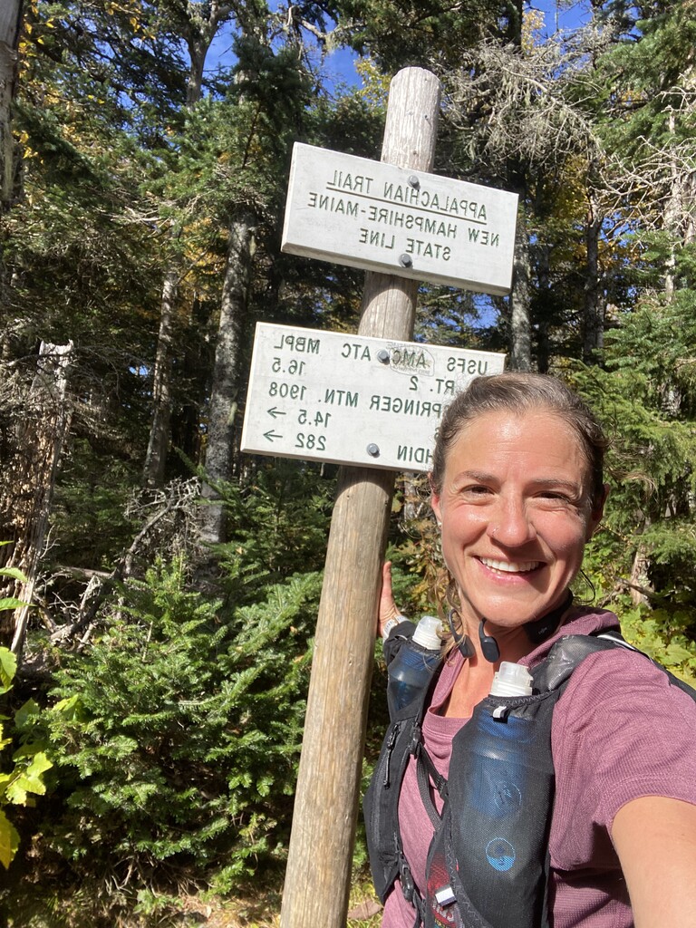
After gathering as much information as I could about the Mahoosuc Traverse (Thank you Doug Mayer, Neil Clauson, Ben Nephews and Ryan Welts for the inspiration, thorough write ups and beta) and a 2-day recon mission the last weekend of September (thanks Jess, Ian and Lincoln for joining), I decided to give it a go on Sunday, October 2nd.
It wasn’t forecasted to be the warmest or sunniest, but I chose it because the overnight lows between Saturday and Sunday were slated to be relatively mild and I was concerned about the possibility of ice on the slabs up high. The weather turned out Absolutely perfect. Based on what I had read about the traverse, I wanted to respect the local ethos: un or self-supported, and tagging Old Speck and Goose Eye along the way. I ended up going unsupported because I knew I wouldn’t have time on this trip to make any drops or recover what I would have left, and I also felt like I could reasonably carry all that I needed.
I brought with me: 2 Katadyn filter flasks, an inreach, a small med kit with survival blanket and headlamp, a tyvek map, long sleeves, gloves, buffs, a windbreaker, cell phone, and lots of food (gels, blocks, bars, chips, jerky, trail butter…of which I ate about 1/3).
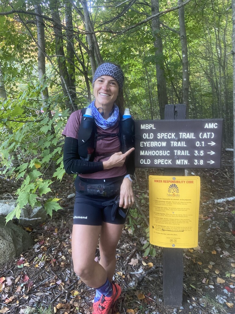
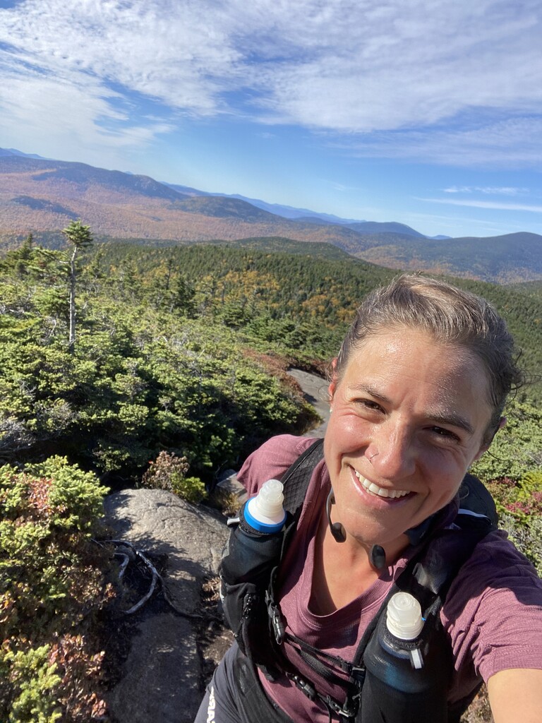
I left a car in Gorham and my dad (thanks dad!) dropped me off at Grafton Notch, and I hit the trail at 7:10am, just as the sun was hitting the upper parts of the mountain. I made it up old Speck in just under an hour and unfortunately whacked my watch while climbing up the fire tower, pausing it. I saw my first other hiker up there and chatted with him, and didn’t realize until 8 min later on the way down Old Speck that my watch had stopped. Given that I was moving downhill fast, I swore a lot, but did not go back up to get the full track, so you’ll see a straight line off the summit on my gpx. Slabs were mostly dry and I only had a little frost up high. The aspiring beaver dam on the west end of Speck Pond holds weight, so you can cross without getting feet too wet. Wasn’t drinking much because it was cold, but filled water just before the notch. I moved well through the technical terrain, making it through the Notch itself in around 20 minutes, and scaring the crap out of a few though-hikers and backpackers. I had written out Neil, Ben and Ryan and Samatha’s splits on a piece of paper, and when I hit the Junction with the Notch trail, I realized with surprise that I was ahead of Neil’s time by a couple minutes. I had a few minutes of doubt (had I written North Trail, not Notch Trail? Does North Trail even exist? There’s a North peak, but is there a north trail??), but kept trucking and tried to keep an even keel. The sections above treeline were pretty spectacular, and aside from a few seriously treacherous bog bridges, I could make pretty good time.
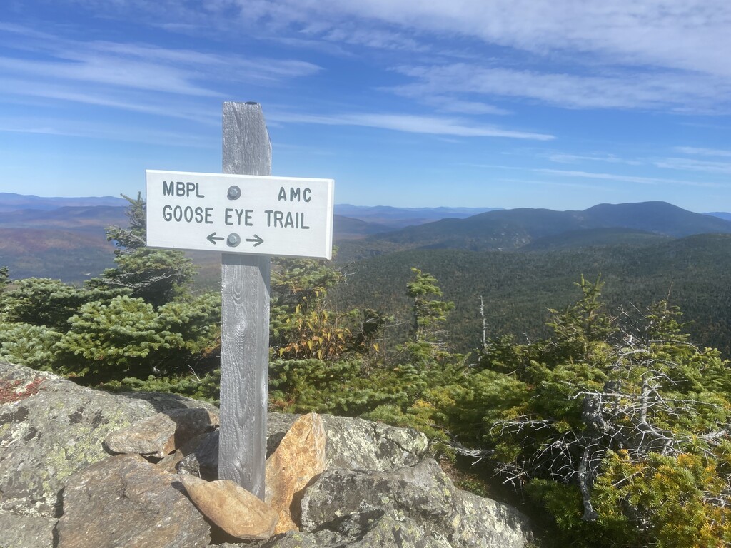
I was feeling good for the out and back to Goose Eye, where I met a lady who exclaimed « Isn’t this just God’s country?! ». From there, there are some fairly runnable sections. Neil warned me about the mental challenges of Mt Success’ false summits, and I appreciated that advice. I find the route-finding off Success to be one of the bigger challenges since blazes and cairns are limited and there is a second trail out to the plane crash. I filled water again in a good stream en route to Gentian Pond, where I stopped for a couple minutes to eat some Beyond Meat Jerky in honor of Chris Goëtze, who stopped for a steak at Gentian Pond when he set the record in the 1950s.
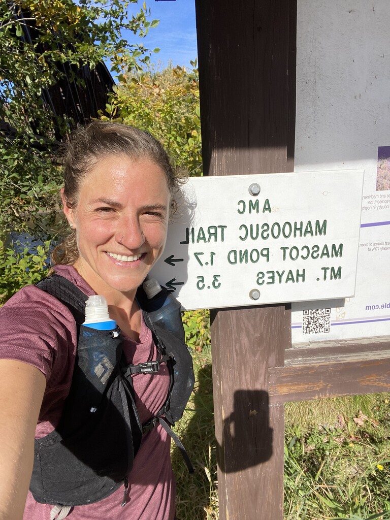
Much of the rest is a bit of a blur of steep ups and downs in the woods, punctuated by a beautiful bog before Dream Lake. I filled water again, and for the last time around Trident Pass. The trail gets a bit more runnable, but I had to work to convince myself to run, since I was starting to get a little tired by that point. I was still comparing my times to Neil’s as I went and trying hard to calculate the speed I’d need to keep up to stay under. I’d made a nearly 20 minute gap, but found his final splits to be super fast, so I knew I couldn’t let up. By Hayes I felt like I had it, but also was really nervous about wrecking an ankle late in the game, and so was ultra concentrated and not very talkative to the few hikers I crossed paths with. I think the hardest part was when I hit the recreation trails at the bottom and had to run flat…not exactly my forté, but even if I knew that I wasn’t going to break any sprinting speed records, I could make it in good time. Crossed the bridge, and tapped the sign at 2:26, for a total running time of 7 hours and 16 minutes.
I was definitely glad to have done a recon on the route, even if I didn’t have an ideal recovery time between the two. It made things simpler because I knew automatically which way to go at each trail junction (though I did double check on the map once between the Gentian ponds, since I had been rather distracted by my jerky eating), and how to navigate the trickier sections (Success summit and the finish). It also allowed me to know where the most dubious bog bridges were, and where I could reliably get running water. It was my first time doing a big unsupported run like this and I really enjoyed the experience. I think I took fewer risks then I might have in a race/supported setting, but it was a great exercise to stay entirely self motivated and steady. I brought headphones and had a downloaded playlist on tap in case of a pain cave, but I don’t usually run or race with them and never felt a need for them, and found that the terrain is technical enough that you really want full concentration: fully present and concentrated, almost like a long mindfulness exercise.
All in all, a great day out on the trail!