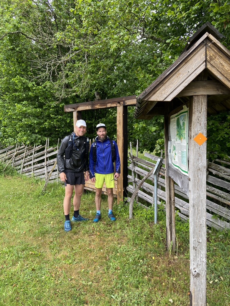
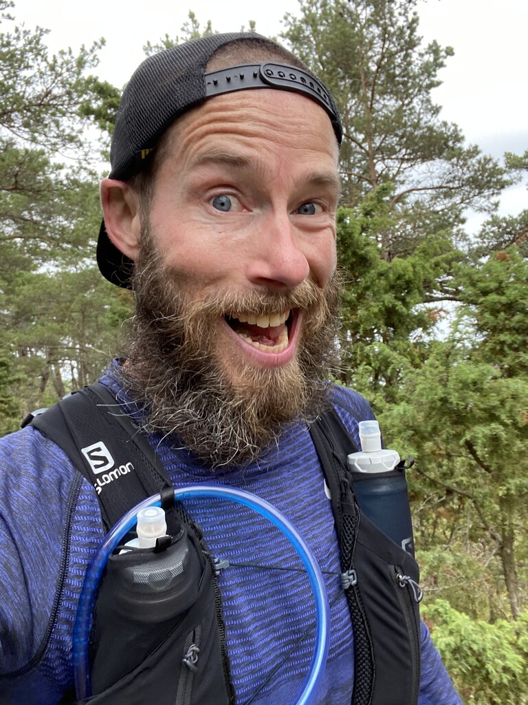
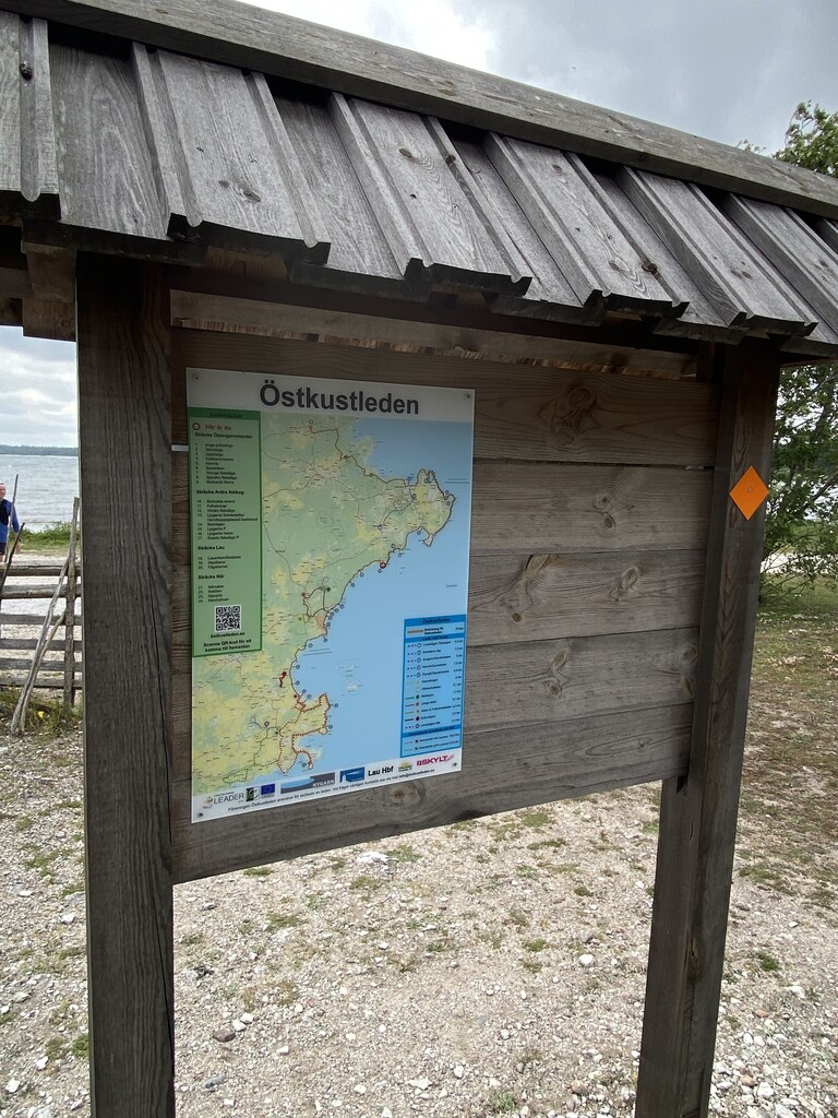
As soon as I (Mikael) and my friend Marcus Jakobsson heard about the new Östkustleden (The East Coast Trail) in the island of Gotland, we started talking about running it together. The trail was ready mid-June, so it has only been ”officially” opened a couple of weeks, and we discussed that we should also go for a FKT while exploring this side of the island.
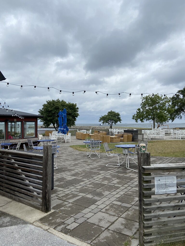
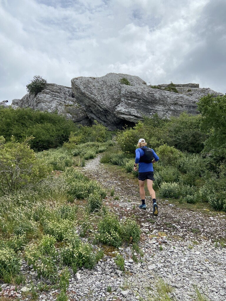
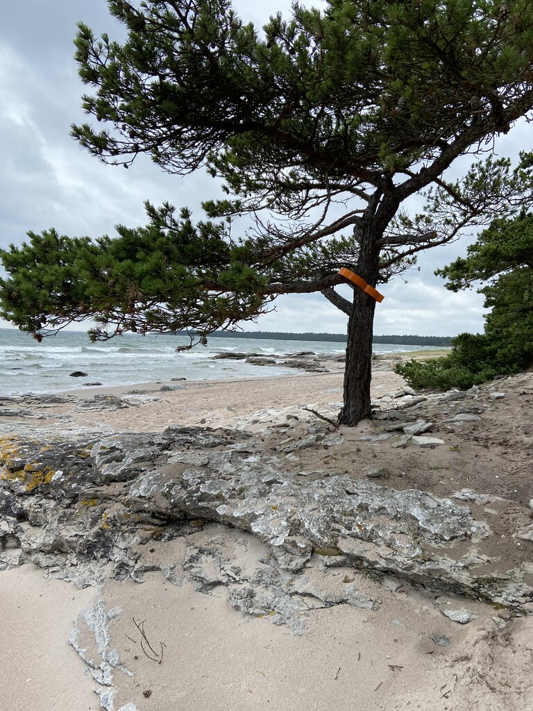
We started around 10.00 am July 4th in light rain from Anga Prästänge. The first about 10 km is mostly on flat gravel roads before you reach the shore line. This first part was quite poorly marked and we had to check the pdf-map on several occasions to make sure we were following the intended trail. When you see the sea you know why you wanted to run this trail - simply magnificent view! We had head wind the whole way to the finish, but the rain disappeared, and we could really enjoy the environment and the trail! At Katthammarsvik Rökeri you can also refill water. The owner offered us free coffee cheering us on!
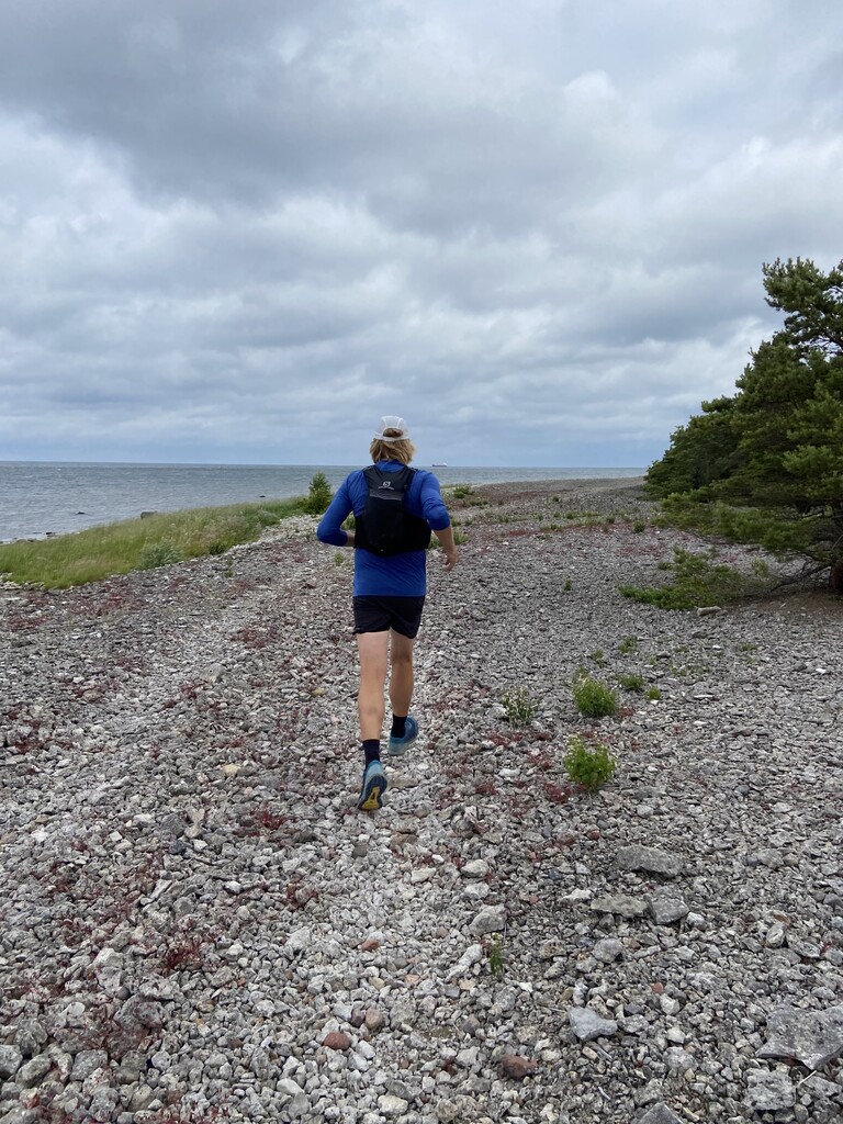
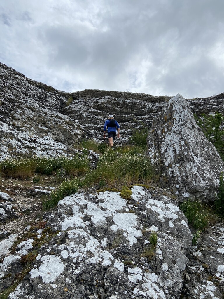
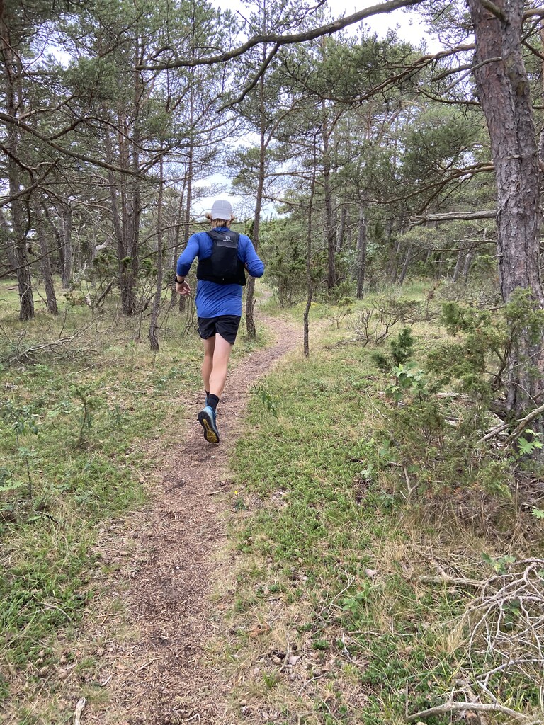
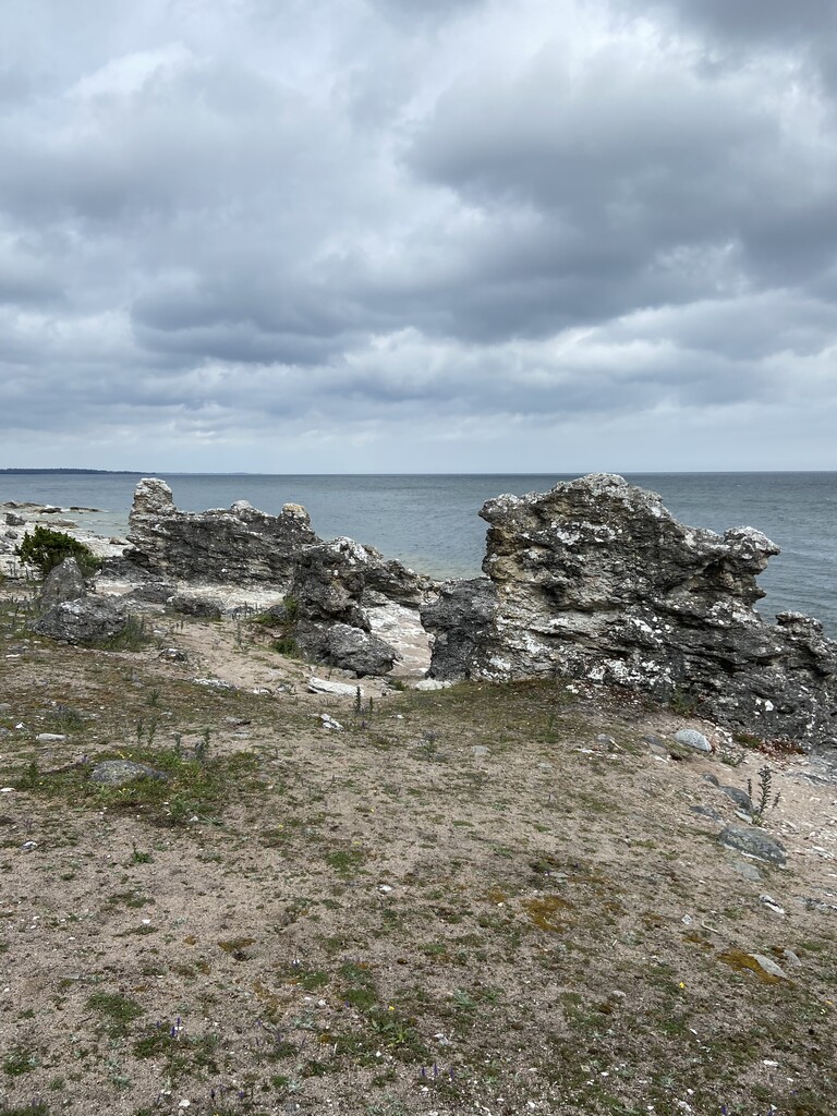
You basically follow the shore line all the way to Ljugarn, passing Grogarnsberget, Herrvik, Sysne, Sjaustre and Folhammar Rauk-område before reaching Ljugarn after about 50 km. The surface varies between rocks, sand, grass, gravel mostly along the water line, but on some parts also trails in the close-by forest. If you are looking for elevation, this trail will not meet your needs as it is quite flat given the distance. Summer time you will pass several places where you can buy something to eat and drink, but winter time only a few places are open. After Katthammarsvik the trail was much better marked with its orange signs/arrows.
We both felt good the whole way with a balanced energy level and high spirit.
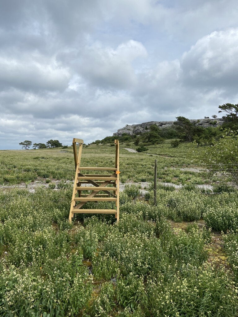
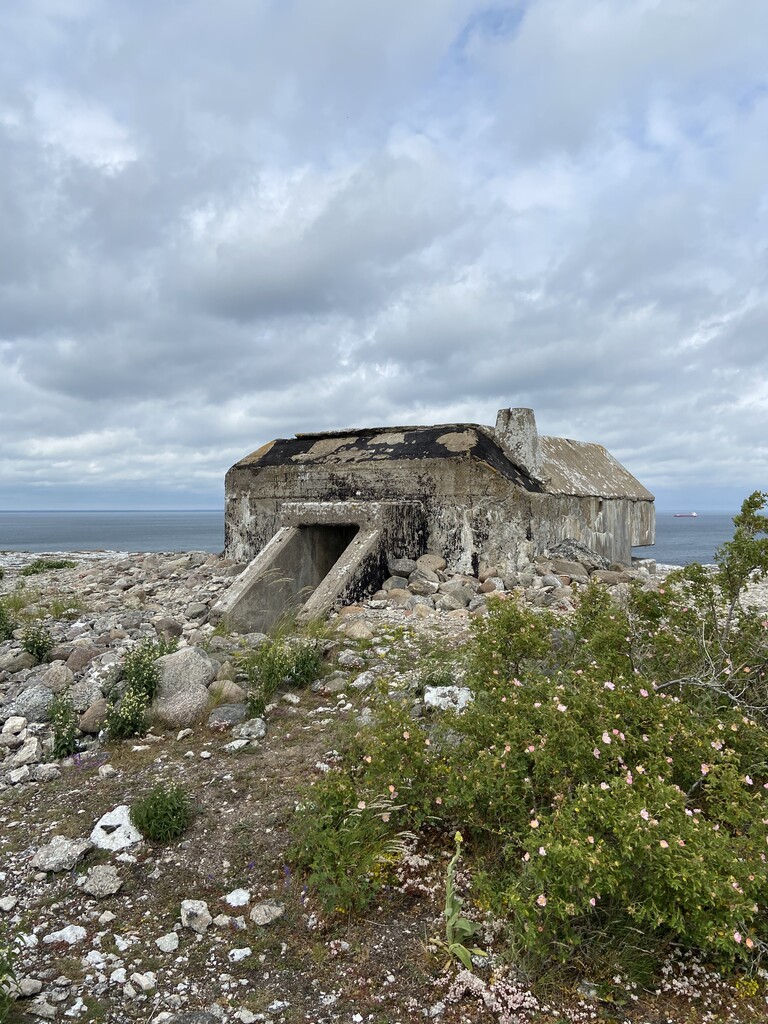
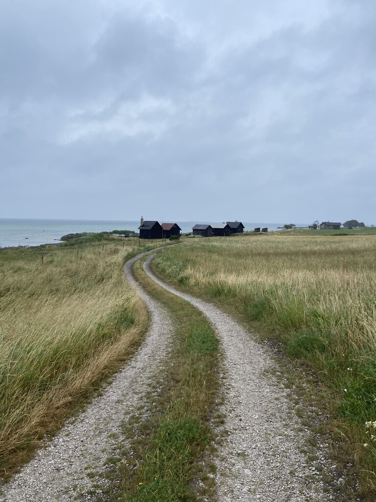
Reaching the super cosy summer village Ljugarn after about 50 km, the rain started pouring down and with that the wind also accelerated in strength. The last +23 km to the finish in Närsholmen had a different character than the part we had already covered. Here we were partly running in high grass on not so prepared trails, and you had to be somewhat cautions where to put you feet. Here you weren’t running next to the water line all the time, but followed seemingly endless tractor trails and some asphalt roads too, before you were back on the shore line again. On this part you could definitely wish for more route markings, because we were lost on several occasions and even managed to navigate the opposite direction at one point, resulting in us running 3-4 km extra in the total distance.
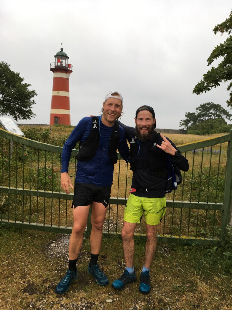
Finally, after 9h 34m we ”crossed the finish line” at the gate to the lighthouse in Närsholmen - very happy, tired and soaking wet! :-) We got almost 78 km (as you can see from the gpx-file), but the route is supposed to be about 73 km (but more likely 74 km).
Highly recommend this route, especially the first 50 km - very scenic and fun running!
//Mikael and Marcus