
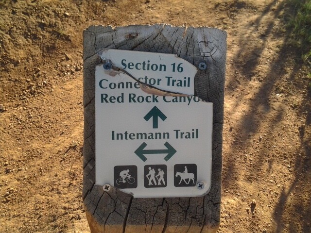
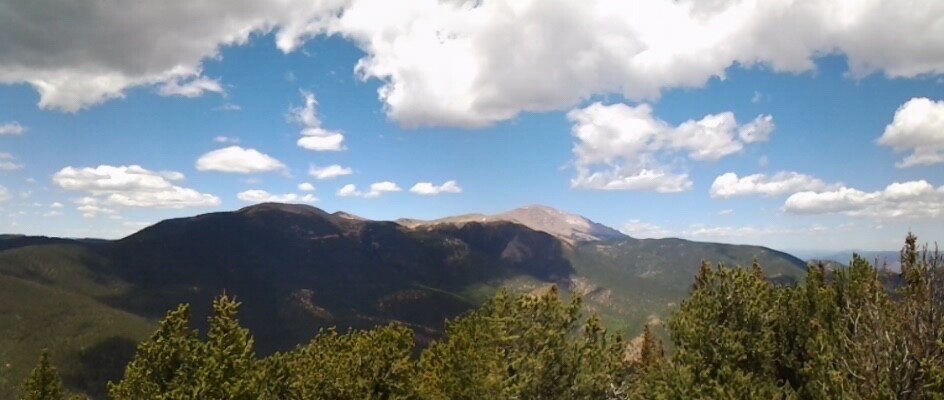
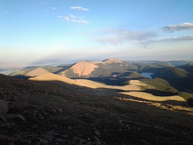
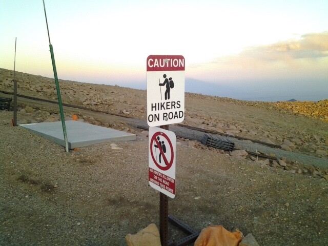
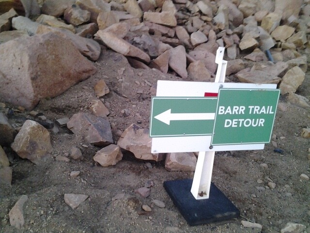
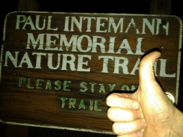
I power hiked the loop that encompasses Pikes Peak, along with Mt. Rosa & Almagre mountain. Starting on the main East/West trail in Section 16 called the Intemann trail, I went clockwise joining High Drive and headed South. From there I went up St Mary's trail to tag Mt. Rosa. I then proceeded West from there along FS 379 and 379a to tag Almagre Mountain. At that point, I worked my way down the scree of Almagre's Northwest side to the FS road below. From there I worked my way to a junction at Mason Reservoir. I turned right ( going west) and passed Mason reservoir (on my left). Soon after (about 1000 ft), I took a FS road that heads North to treeline and WindyPoint. At that point it turns into a trail. I followed that (not actually reaching Windy Point) staying South, Southwest of the cog railway as it is considered private land. Upon reaching the summit, I took the Barr trail back down, To seal the deal, I proceeded down Ruxton Ave to link up with the west end of the Intemann trail. I hiked a mile east on that to meet my personal starting point ( @ Pawnee Ave).
Waterstop #1 - Best spot is .28M up St. Mary's trail from Gold Camp road on your left. After that, it is too steep off the trail.
Waterstop #2 - Baldy reservoir on Almagre mountain. May or may not be reliable based on drought conditions ( or frozen depending on season)
Waterstop #3 - 1.3 miles up is the last stop from where you leave the FS road and head north to Windy Point. But there are plenty of spots before then also. Reliabel source
Waterstop #4 - Barr Camp
If the summit was open on Pikes Peak this would be an option also.