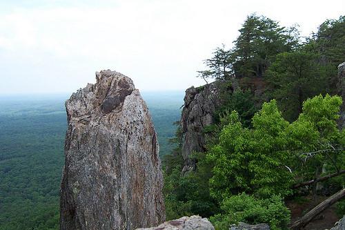
Crowders Mtn & The Pinnacle: Start at trailhead. Summit The Pinnacle (aka Kings Pinnacle) by climbing boulders to top most section, come down mountain, continue to Crowders Mountain - summit to cell tower ( touch gate ) come back to original trailhead, thus completing the 2 highest summits in Crowders Mtn State Park.
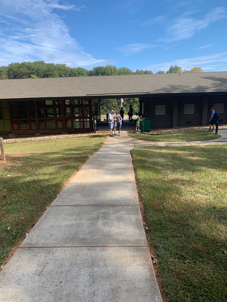
Crowders Mtn Ridgeline Trail: An established trail mapped and listed on "All Trails" as a 14.7 mile (total) out and back route that also overlaps about 3 miles of the Pinnacle trail. It runs between two trail heads (Visitor Center and Boulders Access trail heads, both with facilities) thus can be started/ended from either end.
https://www.alltrails.com/trail/us/north-carolina/crowders-mountain-ridgeline-trail
This is a technical trail with rocks, boulders, roots, several steep elevation pitches, and several road crossings to pay attention to due to privately owned pathways. Typically it's not nearly as crowded parking from the Boulders Access Trail head.
Crowders Only: Up & back same as Crowders & Pinnacle, but without Pinnacle. 6 miles, 1000' of climb.
(9/28/2020 Note: Alex's 6/8/19 FKT turned around at the overlook and did not continue to the pole at the top. Marcy's 1/12/20 FKT did go to the "top most" point. Subsequent FKT attempts should follow the route description by going all the way to the top).
Comments
I made an attempt at the standard route on Saturday, I think I got the route pretty well despite not hitting some Strava segments, but missed Kevin's time by 2 and a half minutes. Major respect for his, and the other times on this. Loved the route, very fun, highly recommended.
https://www.strava.com/activities/6251965850