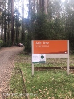
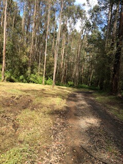
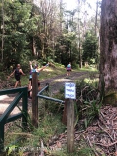
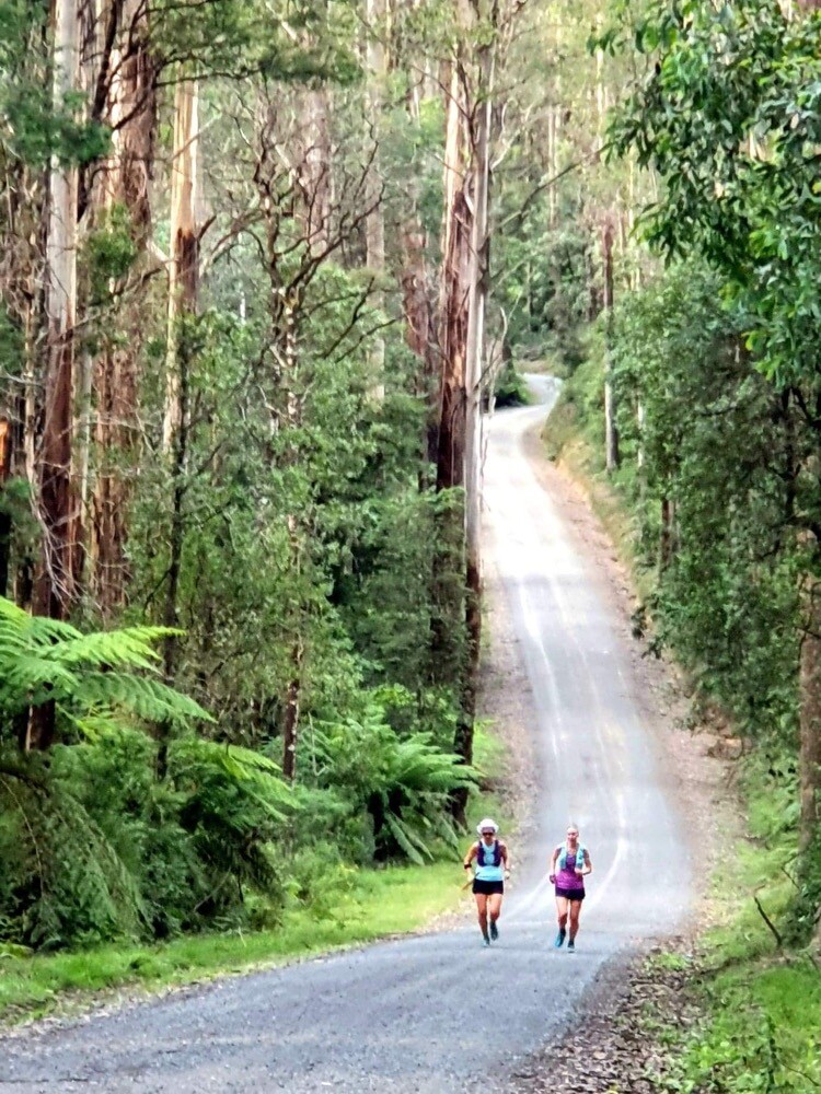
The Upper Yarra walking track is an historic track that links the summit of Mt Baw Baw to the riverside town of Warburton. The track, starting at the Mt Baw Baw ski resort firstly taking on the summit of Mt Baw Baw before meandering around several walking tracks that link up with the Australian Alpine Walking Track (AAWT). Once on the AAWT it is 9.6km to where you reach the junction with the Upper Yarra Walking Track. Once past the junction, the next 4km is rough and overgrown but follows along the contours of the Thompson river and eventually leads out to the far border of the Yarra Ranges National Park and the Yarra Reservoir catchment area. Once you make your way out of the overgrown section, the track follows the ridge line between the Yarra river to the north and the Loch Valley to the left. During this time, you traverse Mt Horsfall and after completing 75km in total you arrive at the Ada Tree, One of Victoria's oldest and tallest trees. From here the track follows what is know as 'the walk into history' which is Australia's oldest gazetted walking track. this section is beautiful downhill single track that follows the Ada River and taking you through Starlings Gap and eventually to Big Pat Creek. Once at Big Pats Creek the track meets with Riverside drive which takes you into Warburton following the Yarra River on the right. Eventually Riverside Drive pops out onto Warburton-Woods Point rd and the end is at the COG cafe which is the official start of the Lilydale to Warburton Rail Trail.
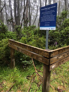
This track was once traversed by gold miners and timber workers as a rite of passage. It is steeped in history. The first person to take on the total track (and beyond into Walhala) solo was women by the name of Dr Annie Yoffa who did so in 1929. The original path is no longer accessible as the Yarra reservoir was built in the 1950s and the surrounding area was designated as a water catchment area which is prohibited access at all time. However this incarnation of the Upper Yarra Track is as close to the original that you can find.
The reason to start at Mt Baw Baw is that firstly, when the timber workers and goldminers in the early 1900s did this track they always included the summit of Mt Baw Baw, also there is no other way to get to the start of this track unless you walk in. The junction of the AAWT and the Upper Yarra track is only accessible on foot.
https://bushwalk.com/forum/viewtopic.php?f=46&t=29829