Location
Wyoming,
US
Distance
59 mi
Vertical Gain
10,500 ft
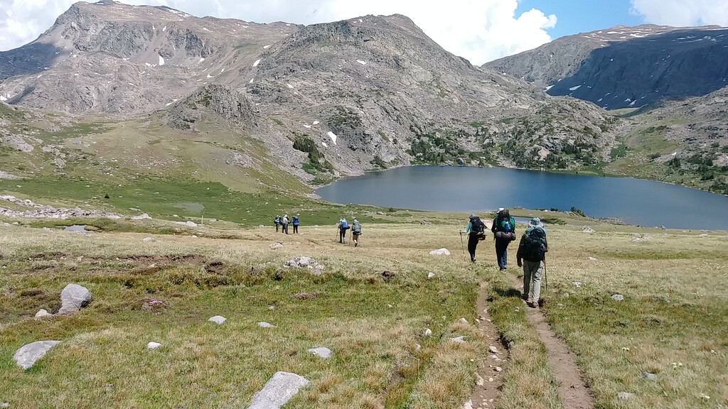
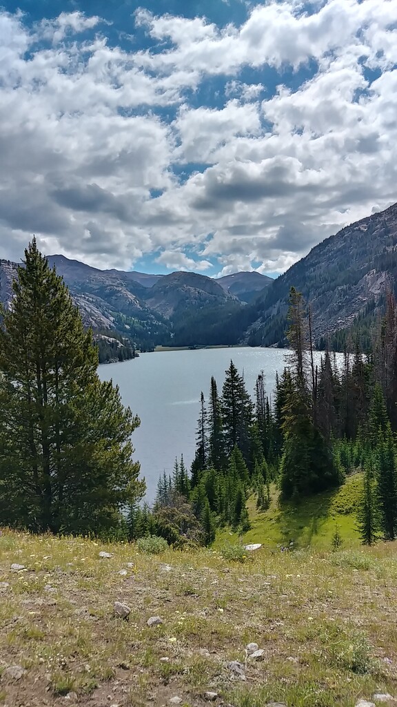
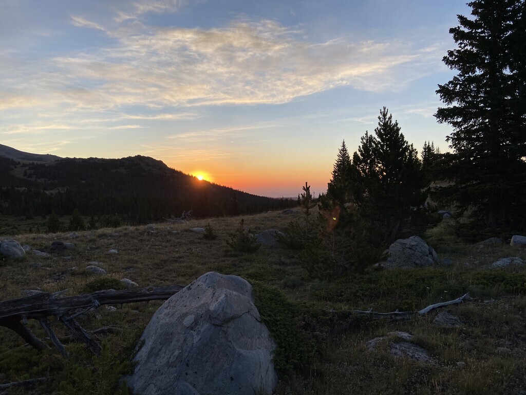
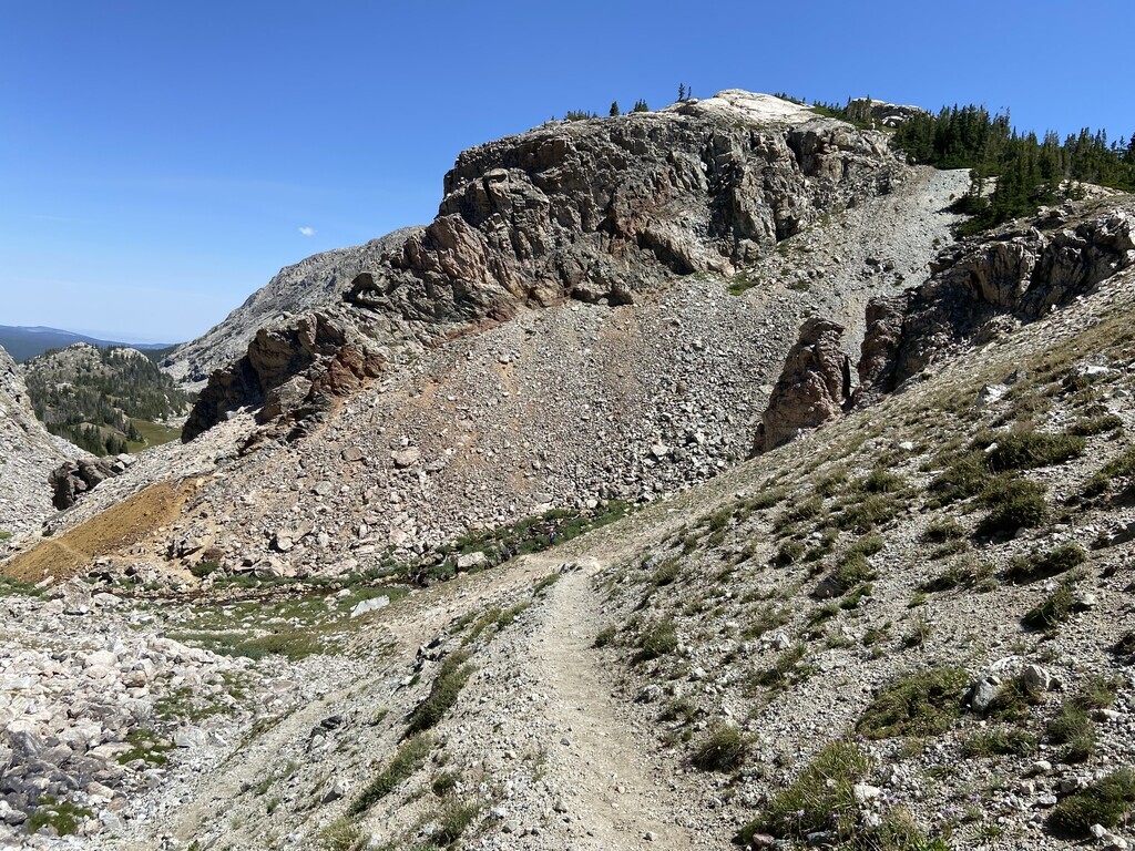
Description
GPS Track
Solitude_Loop.gpx19.44 MB
FKTs
Male
Mixed-gender team
| Brian Hess | 20h 18m 26s | |||
| Matthew Matta | 20h 49m 55s |
| Ryan Wanless, Emily Wanless | 1d 5h 6m 28s |
Images
Comments
I think I might have a go at this route in the next month or so, solo and unsupported. Do y'all have any opinions about pros and cons of clockwise vs counterclockwise? I'm thinking I'll go clockwise from the Coffeen Park TH in the north, but I'm only thinking clockwise because that's how my brain works. Just wondering if you have any opinions.
I’ve done this route several times as backpacking trips both clockwise and counter clockwise and they are both hard routes. No real advantage to one way over the other in my opinion. In regards to what trailhead to start at, the dirt roads to Coffeen Park are very rough while the trailheads in the south; either West TenSleep Lake or Hunter Trailhead are a lot easier to access. Only real advantage to Coffeen Park in my opinion is that the trail starts basically at the trailhead whereas with the southern trailheads you have to hike in 5-10 miles on connector trails before the Solitude Loop trail actually starts. Obviously you’d have to hike those 5-10 miles out as well at the end of everything. I plan on attempting this FKT this upcoming Saturday, July 22nd.
Good luck! I’ll be trying it a day before you. I’ve hiked from the coffeen TH before, and two years ago I could get about three miles from the TH, so that’ll be my goal for this attempt.
How did this attempt go? For me the route was WAY harder than I had predicted.
Looks like I’ll be attempting this route on Friday the 21st! I’ll share results on strava afterwards.
Nice job, I messed my ankle up at mile 35 and had to slow down, finished in 26 hours. I’ll try it again, probably late August or early September. Congratulations on lowering the time.
Oh hey, I noticed this comment right after asking you how the attempt went. Sorry about the ankle, but that takes grit to get through it! That's the tough part about a route like this, when you get hurt at a mileage like that, the only option is to finish. Congratulations on the finish!