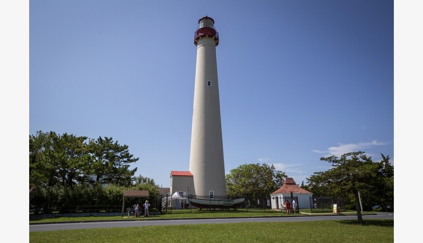
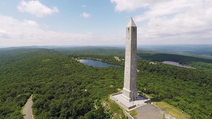
This route is (almost) the length of NJ going S to N or N to S. It is an open course route only defined by the ends (start and goal). The course has both a N-S and S-N variation since going north is significantly more uphill, while there is a precedent for doing southbound. In the south end the start/end is at the Cape May Lighthouse at the Southern point of New Jersey, while the other end is at the High Point Monument in the Northwest corner of the state, and also New Jersey's highest point. It will cross into seven different counties.
The gpx provided is an example of a possible route to run/hike. Be careful not to chose roads with heavy traffic when designing your route.