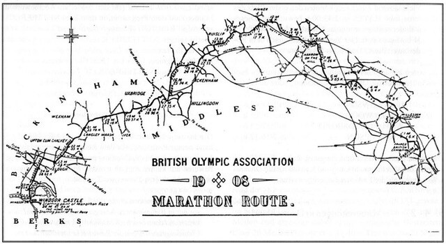
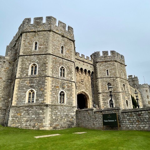
This iconic route follows the original London 1908 Olympic Marathon from Windsor Castle to White City in West London. Its distance (26mi 285yds, or 42.195km) would notably become the standard modern marathon distance (officialised in 1921).
The marathon was won by US runner Johnny Hayes in 2:55:18 (making it the first, supported fastest known time on this route). This win was made famous after Italian runner Dorando Pietri who had crossed the finish line first was disqualified for having received assistance from the umpires who helped him stand up a number of times including inside the newly built White City Olympic stadium in front of the public, just before the finish. The distance was also made famous for having been extended from the original planned route so as to start within Windsor Castle so members of the royal family could watch the start from the castle, without interference of the public.
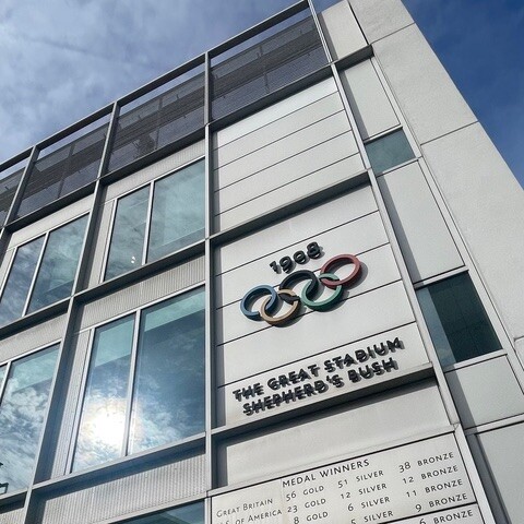
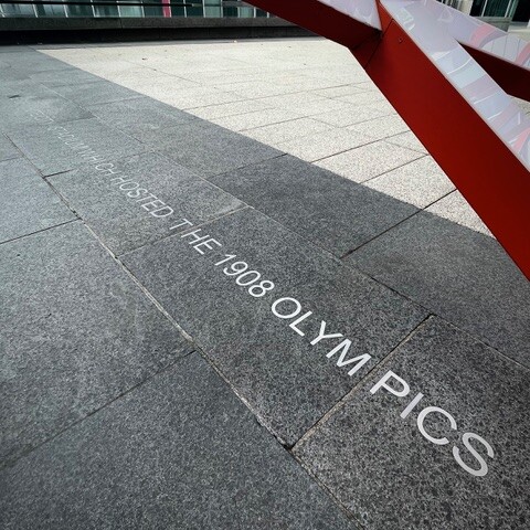
The proposed FKT route starts at the Windsor Castle gate, just outside the private grounds and ends at the finishing line marker in White City. The Olympic stadium was demolished in 1985, making space for the new White City Place development (occupied by BBC and other media companies for a number of years). The finishing line marker on the ground (at the same location as the original finishing line), as well as the Olympic rings and 1908 results on a nearby wall, were added to the site in 2005 ahead of the 2012 London Olympics.
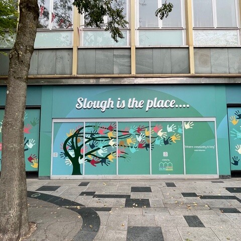
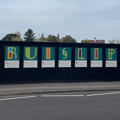
The FKT route follows the original one as much as possible, as described on http://www.rhoff.org.uk/running/1908marathon/event.htm. The distance is slightly longer that the standard marathon distance of 42.2km/26.2mi due to a number of diversions built after 1908, including many roundabouts, unlikely to have existed in 1908!. The route starts in Windsor and runs through the local towns and neighbourhoods of Slough, Uxbridge, Ruislip, Harrow, Wembley, White City (Shepherd’s Bush). Apart from a dual carriageway section between Slough and Uxbridge in the Black Park area, the route follows high street and suburban pavements. The elevation profile follows slight rolling hills, with a total ascent nearing 300m.