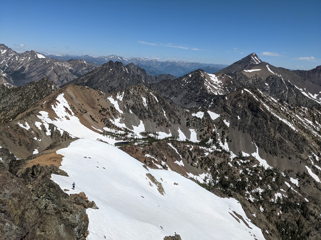
Abernathy peak is a high point on Abernathy Ridge standing at 8,321 feet, just tall enough to make it on the Washington Bulger List (98/100). SummitPost describes the peak as "alpine and eroded...However, what it lacks in technical terrain, it makes up for in solitude, height, and views."
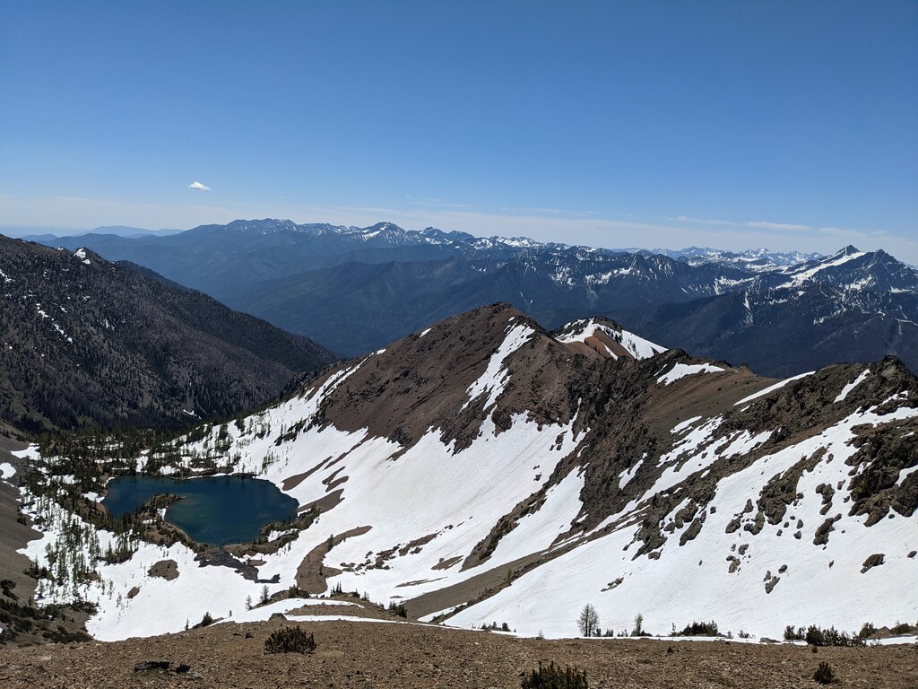
Both Jason Hardrath (IG) and Alden Ryno (IG) agree that this peak boasts some of the greatest views in the Cascades, Ryno saying that it was near the top of his list for "effort to reward ratio." The views, coupled with the less-than-intimidating terrain and very runnable trail, makes this peak available to anyone who doesn't love the technical and chossy scrambling so common in the North Cascades.
Getting there: The trailhead is located off of National Forest Road 4440, to the Northeast of Twisp, WA. NF-4440 is primarily gravel, but as of the time of this submission was easily passable for two-wheel-drive vehicles. Google Maps link to trailhead here.
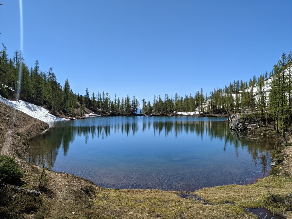
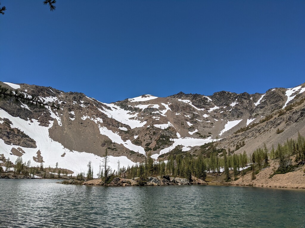
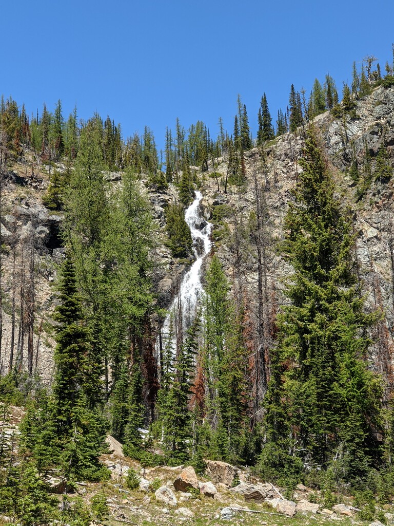
The route: Starting at the sign at the trailhead, follow the trail that leads to Scatter Lake. This well-used trail switchbacks up along the side of Scatter Creek, which is not easily accessible along the first few miles of trail. Eventually, the trail will lead you to a small basin. You'll see a large waterfall to climber's left and then you will climb steeply out of this lower basin to an upper basin. Scatter Lake is a vivid blue and very inviting on a hot day and you'll get your first views of Abernathy Peak. The trail skirts around the East side of Scatter Lake and starts to fade as you continue towards the head of the basin (Northwest). Depending on the time of year, you may end up on steep scree or snow or both as you ascend towards the saddle to climber's right of the peak. Once you've gained the saddle, you may find a use trail or bootpack that leads you West to the summit. Enjoy the views, then turn around and head back to the trailhead.
Even though this peak is one of the least technical on the Bulger List, you still may encounter steep snow, loose rock, or avalanche conditions. Know your abilities and take appropriate gear. There are certain times of year that an ice axe and crampons may be needed to successfully summit.