The route is named after the nature reserve "Allgäuer Hochalpen", which is one of the biggest in Germany (https://de.wikipedia.org/wiki/Allg%C3%A4uer_Hochalpen) and crossed twice during this run. It runs almost completely through remote alpine terrain and crosses only two public roads excluding the area around the start/ finish. The latter is at the "place megève" in the village of Oberstdorf. This has been the start for the stage race "Transalpine Run" .
The route follows the prominent mountain ranges of the area and goes along the ridges where it is possible. It includes three classical via ferrata: the "Mindelheimer Klettersteig", "Heilbronner Höhenweg" and "Hindelanger Klettersteig" and other scrambling passages. Although almost all of the trails on the route are well marked orientation can be difficult at times. So a corresponding alpine experience is necessary. The only section that is not officially marked is between the "Walser Hammerspitze" and the "Fiederepass Hütte". A few red markers can be found at important points.
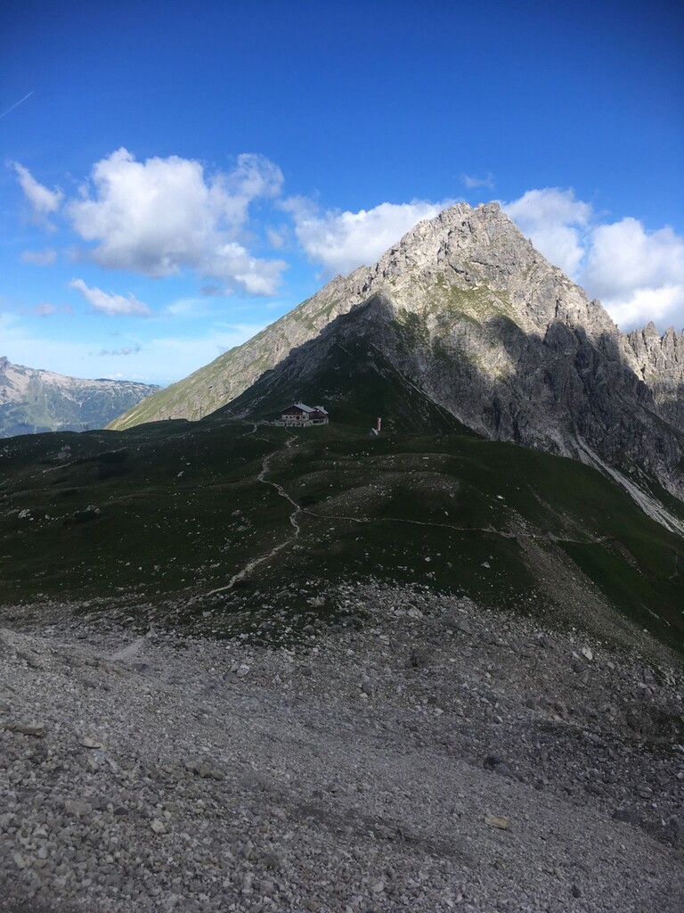
Along the trail multiple alpine huts are situated that provide food and drink during their opening time: "Fiederepass Hütte", "Mindelheimer Hütte", "Rappensee Hütte", "Kemptner Hütte" and "Prinz Luitpold Haus". Multiple alpine creeks potentially can be used to restock water along the way but the amount of water depends on the previous rainfall and the season.
Due to the remoteness of some sections it can be difficult to get back to populated areas when one needs to stop somewhere along the route. Adequate preparation and planing is crucial for the safety of the runner.