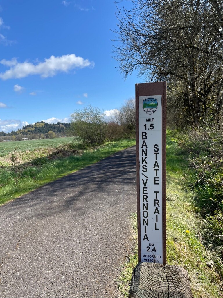
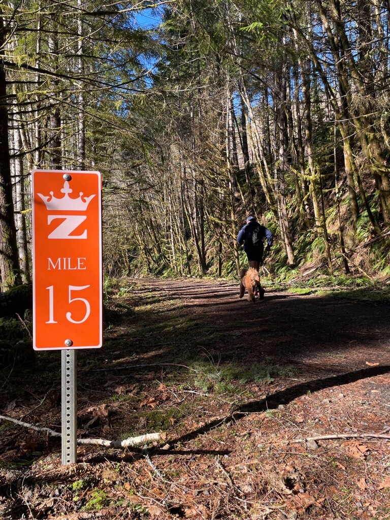
This route is a combination of two prominent trails in this area: Bank Vernon State Trail and Crown Zellerbach Trail. This FKT route connects the two with a short routing to the Southside of both the Vernon Waste Water Aeration Lagoon and Vernonia Lake. Below are descriptors for each with a link to additional info.
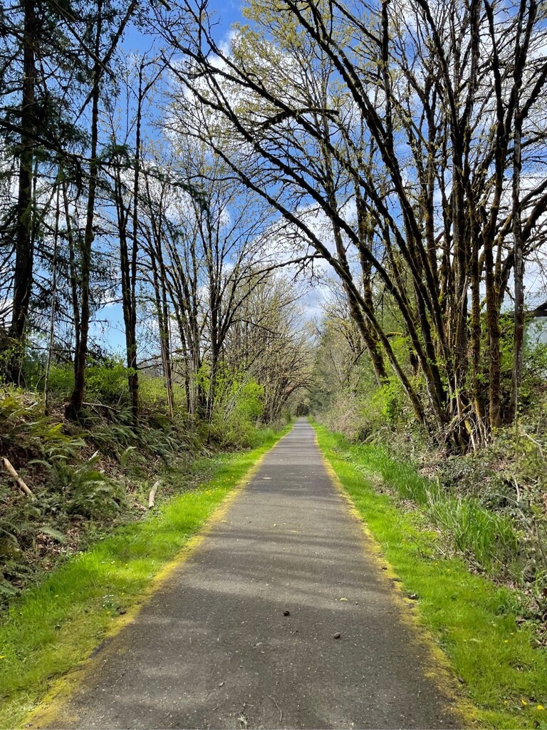
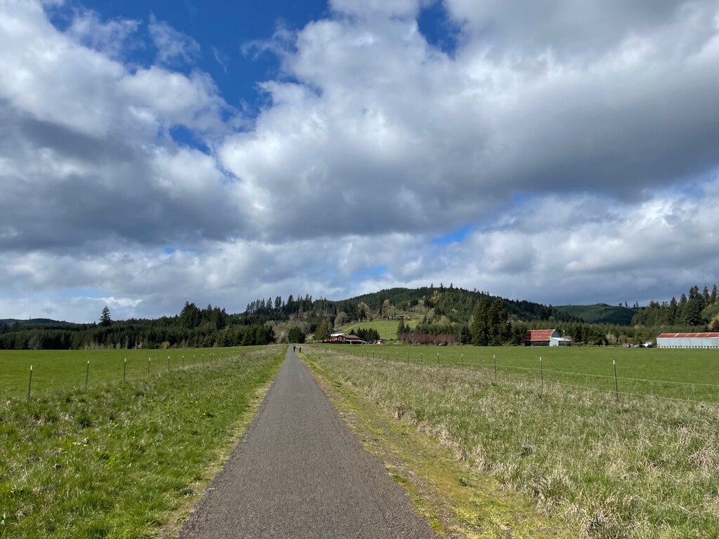
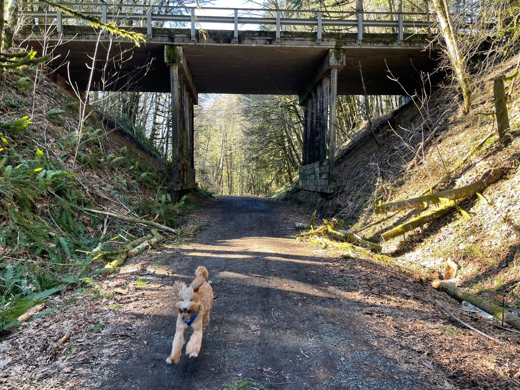
Banks-Vernonia State Trail is the first “rails-to-trails” park in Oregon. The trail follows an abandoned railroad bed that stretches ~21 miles between the cities of Banks and Vernonia.
The trail consists of a paved 8-foot wide hiking and bicycle trail alongside a gravel trail for horses that's about 4-foot wide in most sections. The gentle grade in all but one area allows hikers, bicyclists, equestrians and people of all abilities to enjoy the scenic mountains, fields and forests of Washington and Columbia counties. Banks-Vernonia Trail website
The Crown Z Trail is a former logging trail through rural areas of Columbia County that connects to the Banks-Vernonia State Trail in Vernonia. One can start the trail at either terminus but there are marker in the direction starting in Scappoose on the Multnomah Channel at Chapman Landing and transverses through the forested areas of Columbia County to Vernonia Lake. The Crown Z Trail is a partially paved, partially gravel linear trail that is perfect for any season of recreational fun. Walking, hiking, horseback riding, or biking are all options at various points in the trek. Multiple trailheads are located along this scenic ~23 mile trail. Certain trailheads offer parking and picnic areas, public restrooms and bicycle repair stations for visitors to use at their leisure. Crown Z Trail website