Location
Maine,
US
Distance
37.5 mi
Vertical Gain
6,604 ft
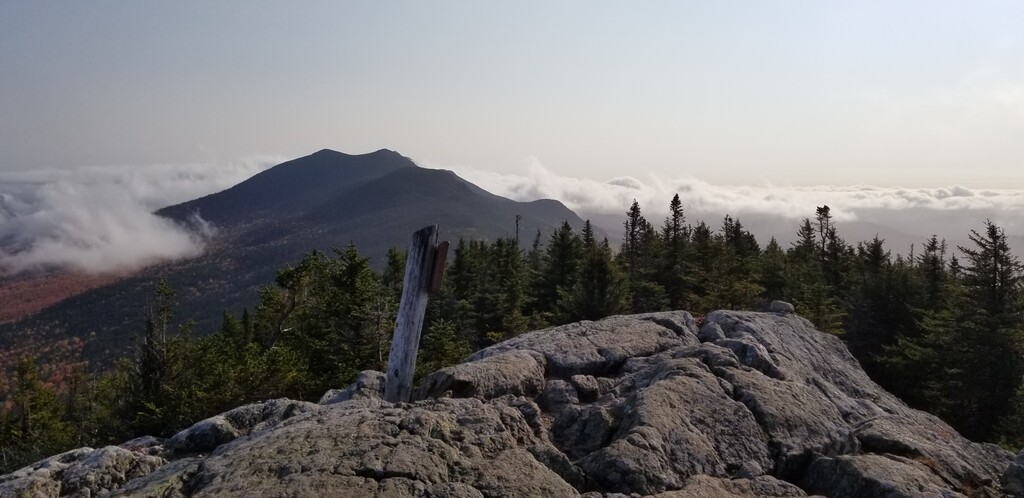
Description
GPS Track
FKTs
Male
| Ri Fahnestock, Randy Weld | Multi-sport | 11h 18m 12s |
| Marc Schwartz, Jared Rowe | Multi-sport | 19h 54m 12s |
Images