Picture this: a bright blue sky, the smell of salty air and fallen pine needles, the sounds of chirping birds, breaking waves and rumbling motor boats. Among a bustling fishing village and northeast vacation destination is both the literal foundation and historical sites that much of modern communication was built upon – even GPS tracking FKTs!
The location is Chatham, Massachusetts, an Atlantic Ocean facing Cape Cod town. The historical site is the Chatham Marconi Maritime Center, celebrating the final of three consecutive centennials commemorating the first trans-Atlantic and wireless maritime communication (a notable example is the Titanic’s distress signal). The man was radio pioneer Guglielmo Marconi, who won the Nobel Prize in physics in 1909 for his work in wireless telegraphy.
I call this route the “Chatham Marconi Wireless Route,” ideal for American history lovers, tech buffs and beach bums alike! The inspiration for the route was the “Antenna Trail Challenge,” a first-ever virtual event encouraging people to visit the remaining historic sites.
The route is a historic, coast to coast sprint, featuring a combination of surfaces: dirt trail, road, paved recreation path, and sandy beach trail. The route follows modern day roads and trails that connect the original marine radio wireless transmitting stations in North and South Chatham.
Start – Chatham Marconi Maritime Museum, North Chatham
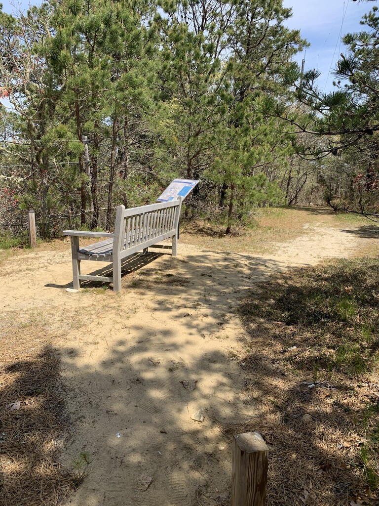
The route begins on the Chatham Marconi Maritime Center grounds, at the top of the hill of the outdoor Antenna Field Trail at the bench and informational sign. The trail descends quickly into the parking lot that leads to Orleans Road with the sparkling emerald blue waters of Ryders Cove in view.
Orleans Road to Old Comers Road
Turn right out of the parking lot onto Orleans Road, passing two restored buildings on the Center grounds. Turn right onto Old Comers Road. The term “old comers” is an old Cape Cod term for families that came over on the Mayflower. Another historical site along this route, is a smallpox cemetery at the 1.5 mile mark, part of “The Triangle” conservation area.
Sam Ryder Road to West Pond Road (to Old Colony Rail Trail)
Turn left onto Sam Ryder Road. Sam Ryder was part of the fishing family of which Ryders Cove bear his last name. Turn left onto West Pond Road and immediately bear right onto the Old Colony Rail Trail Volunteer Park Extension.
Turn right onto Old Colony Rail Trail. Another historic site, the Old Colony Rail Trail is a paved pathway that runs the length of the former Chatham railway, eventually intersecting with the iconic Cape Cod Rail Trail in Harwich.
Morton Road to Forest Beach Road
Turn left onto Morton Road. At the intersection with Route 28, continue straight onto Forest Beach Road. Use the crosswalk.
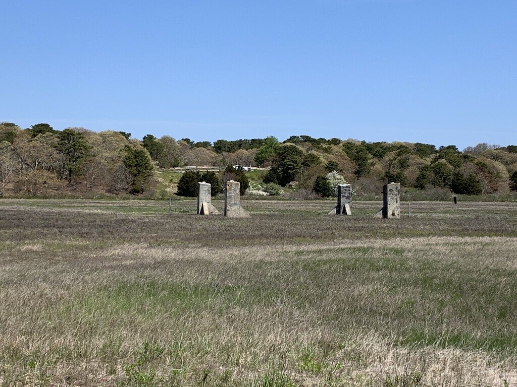
Turn left onto Bay View Road. Keep right up the small hill, which is the Forest Beach Conservation Area. At the top of the hill is an overlook of the salt marsh that was the location of the former wireless transmission site. A handful of poles and four concrete pilings remain as historical reminders. At the overlook informational sign, turn around and head back down the way you came toward Forest Beach Road.
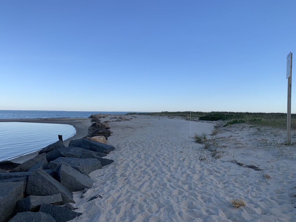
Finish – Rock Jetty at Mill Creek Entrance (between Forest Beach & Cockle Cove), South Chatham
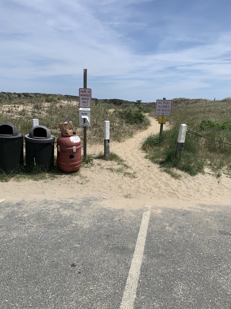
Turn left onto Forest Beach Road into the beach parking lot. Halfway into the parking lot is a sandy path on the left.
Take a left onto the sandy path. Bare left onto the lower path. Finish at the large metal “5-MPH” Ideal Speed sign at the rock jetty entrance to Mill Creek.
Bask in an incredible view of Nantucket Sound from this remote beach!