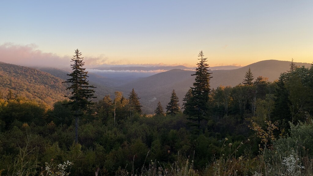
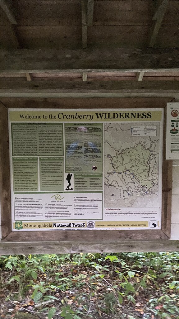
The Cranberry Wilderness in southern West Virginia on the Monongahela National Forest is the largest USFS wilderness area in the eastern US. It is not near any major population center and has a very remote feel. According to Blue Ridge Outdoors, "The 47,815-acre Cranberry Wilderness located in Monongahela National Forest is not for the faint of heart. It’s called Wilderness for a reason; sundered only by unmarked trails, this seemingly endless temperate jungle of Appalachian hardwoods and red spruce is bestrewn with moss-covered rocks and dappled with wildflowers."
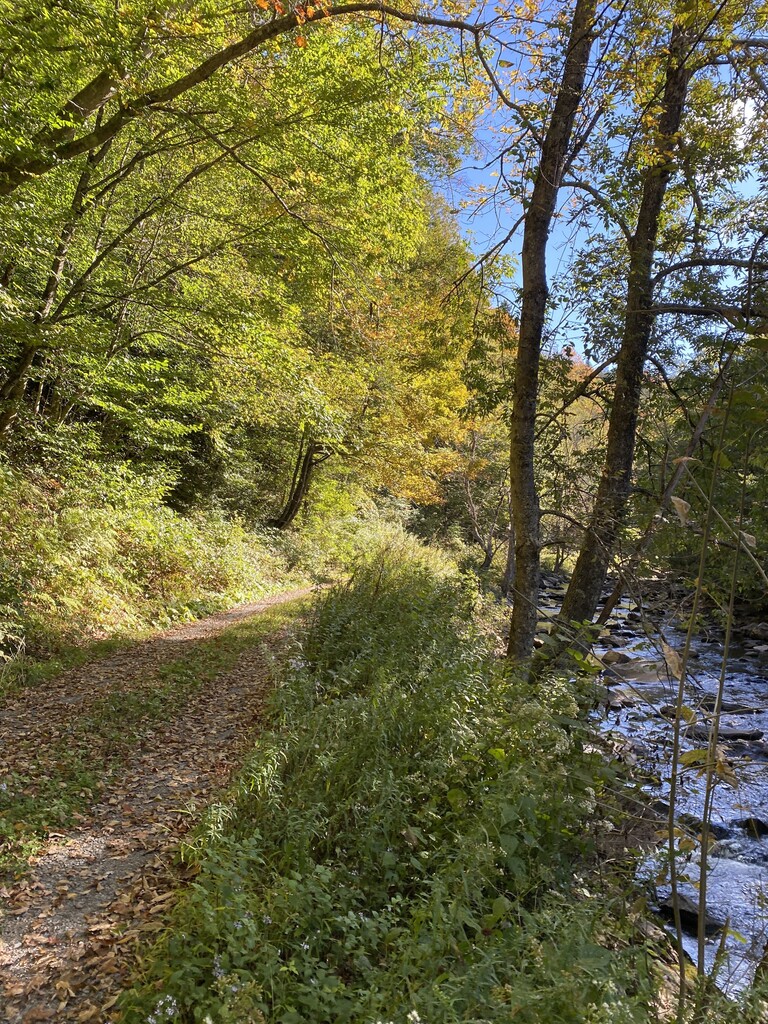
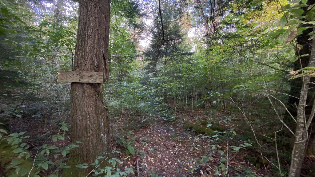
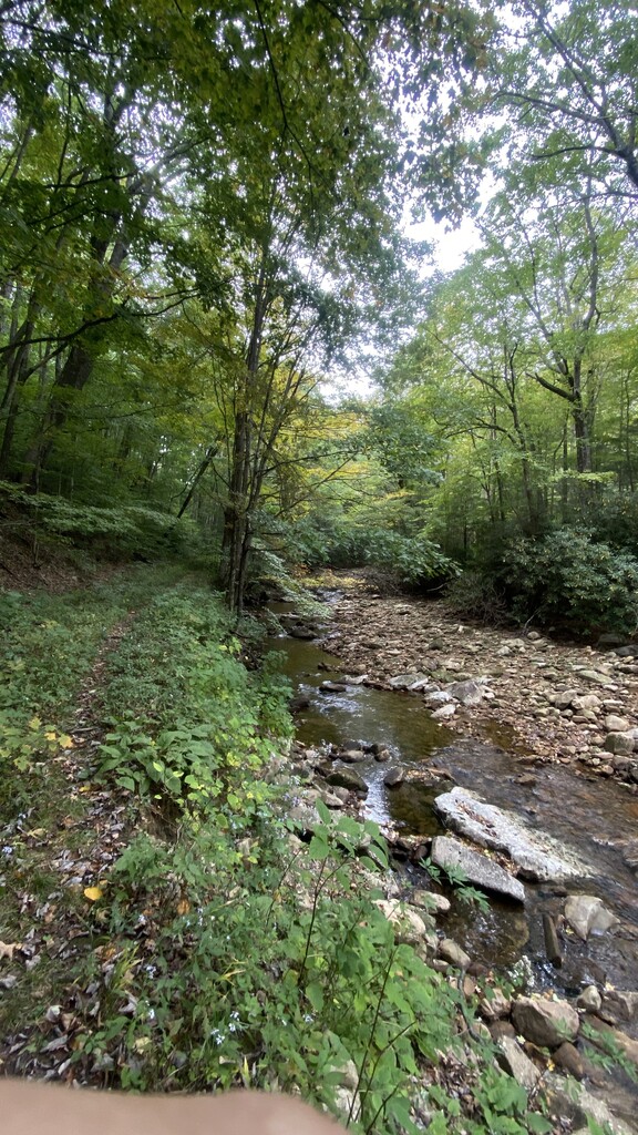
I originally set out to complete a loop consisting of the trails that run around the perimeter of the wilderness area but signs indicated County Line Trail had been overgrown and essentially overtaken by the forest so closely following GPS would be needed. I had already experienced a small stretch of trail like this on North-South Trail and felt another 6 miles of this would not be as nice as the Middle Fork Trail, a well traveled hiking trail. In addition, County Line Trail follows a ridge with no reliable water source giving another excellent reason to stick to the Middle Fork Trail, which follows the Middle Fork of the Williams River for its entire length. I began and ended my run from the North Fork Trailhead on Highland Scenic Highway. Access is also available via Public Rd 86 on the northwestern part of the area so supported runs are an option.
https://www.fs.usda.gov/recarea/mnf/recarea/?recid=12368
https://diyoutdoors.wvu.edu/backpacking/cranberry-wilderness
https://www.blueridgeoutdoors.com/go-outside/insiders-guide-exploring-west-virginias-cranberry-wilderness/