Esker: A long, narrow, steep-sided ridge of coarse sand and gravel deposited by a stream flowing in or under a melting sheet of glacial ice.
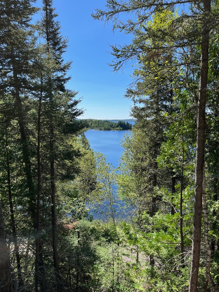
Hikers can trek along one of the most accessible and representative eskers in Ontario. If you feel like a scenic walk with panoramic views, follow a small gravel road which takes you up above the tree tops providing views of green-hued kettle lakes, mature stands of forest, abundant wildlife and the most spectacular view of Ivanhoe Lake anywhere in the park. There are also a couple of side trails that will take you to the solitude of Axe and Canyon Lakes. For the safety of all trail users, the use of motorized vehicles is prohibited during the months of July and August.
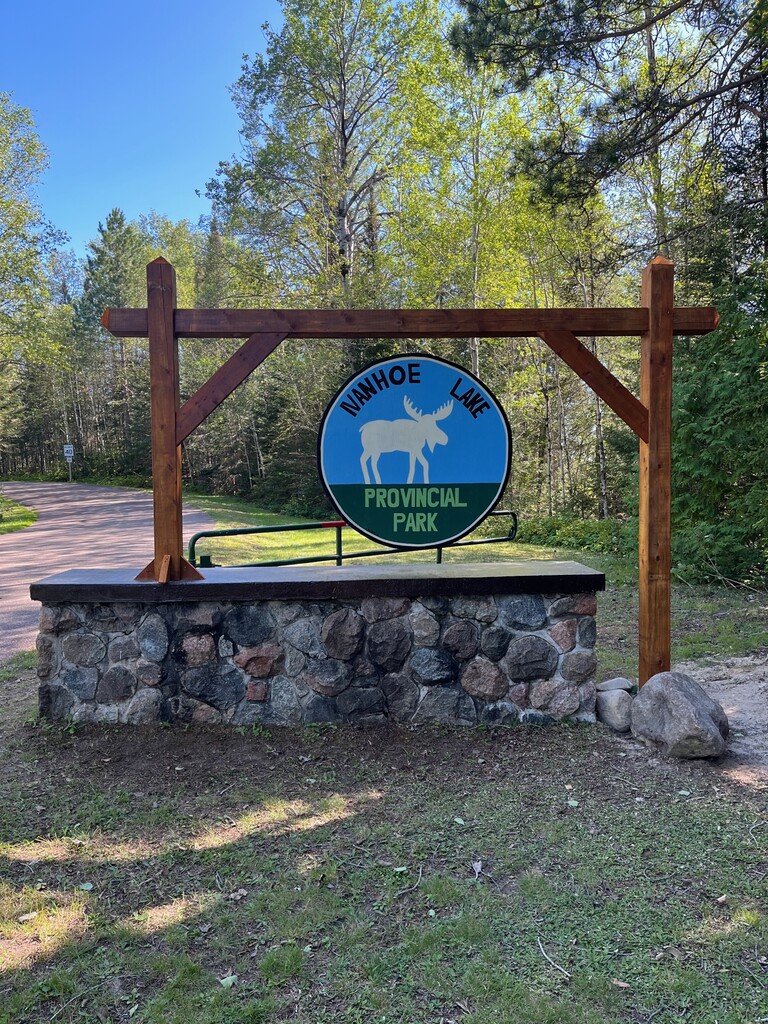
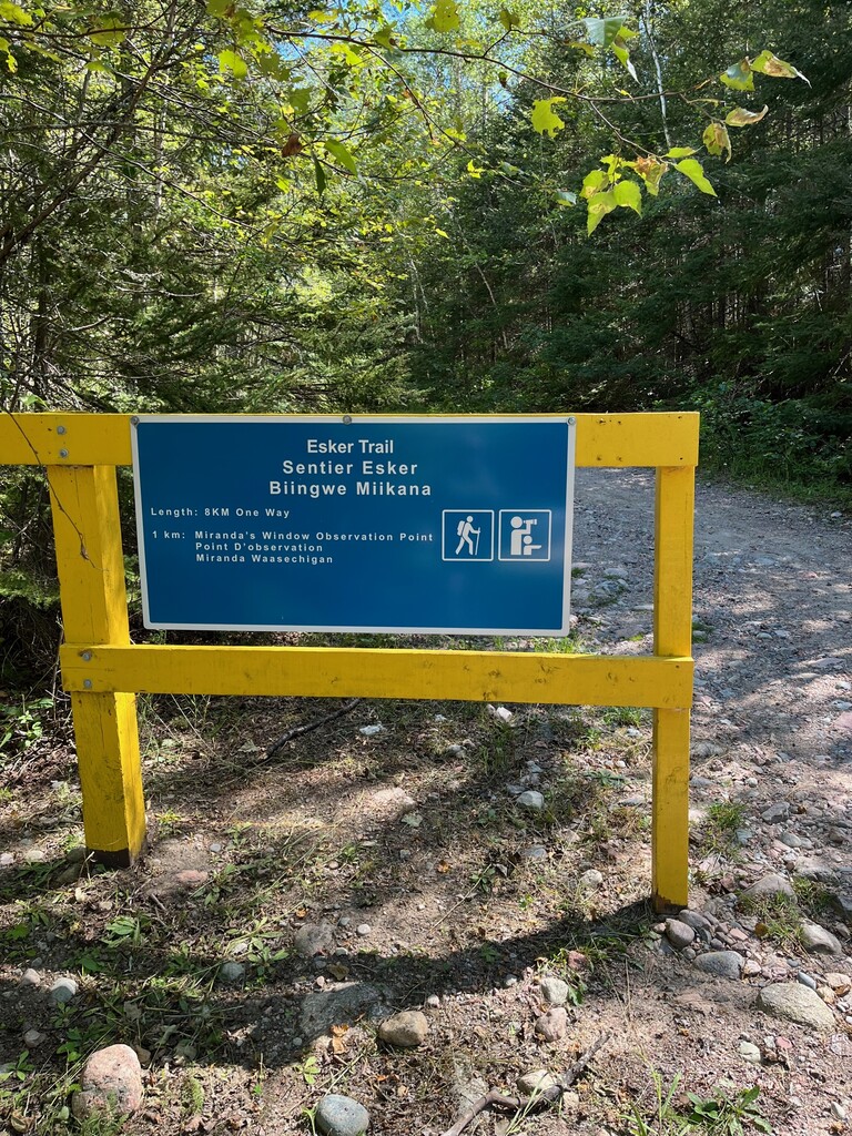
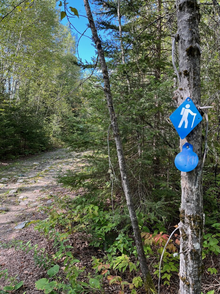
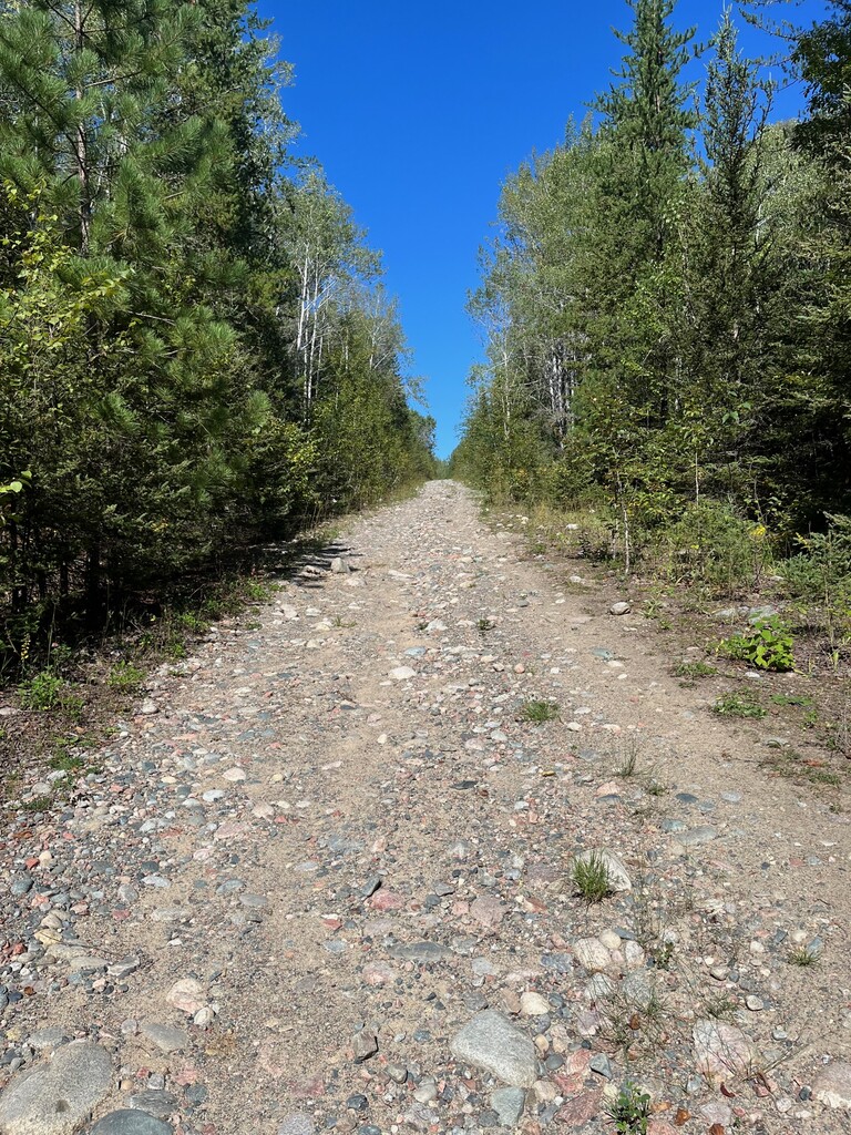
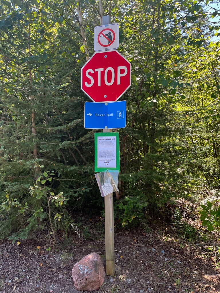
Esker Trail starts at the yellow gate just before you officially enter Ivanhoe Lake Provincial Park. This provincial park is in between Chapleau and Timmins, Ontario. The trail uses a retired logging road. The trail is double track the whole way with lots of rocks. There is lots of gentle up and down with a couple of chances for nice views from the ridge line. The trail is quite obvious, but it is also marked with blue hiker guy blazes. There is also kilometer markings along the way. The trail officially ends at the provincial park boundary. You will see an Esker Trail sign along with a stop sign. The trail is point to point so you'll have to jog back to where you started. There is a small parking lot right in front of the yellow gate. Ivanhoe Lake Provincial Park is a beautiful park which also has some other shorter trails and a nice beach. Enjoy!
https://www.ontarioparks.com/park/ivanhoelake/activities