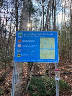
The Ganaraska Trail runs through the Queen Elizabeth II Wildlands Provincial Park. A provincial park in south-central Ontario, between Gravenhurst and Minden. Anson Mountain is the highest point in Queen Elizabeth ll Wildlands Provincial Park at 365 metres above sea level.
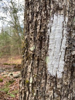
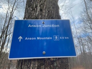
Parking is available on Deep Bay Rd (off of Hwy 35). There is even a privy there! Runners are to use Devil's Lake SideTrail (blue blazes), the main Ganaraska Trail (white blazes) and Queen's Corridor Sidetrails (blue blazes) to create the loop. Anson Mountain Side Trail is located at the very north. Runners are to follow the main Ganaraska trail until they reach this short side trail. Once you reach the Anson Mountain SideTrail, turn right, and run approximately 641m (elevation 41m) to the top. Once you reach the top, turn around and head back down to the main trail. Take the opposite side trail on the way out.
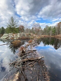
This section of the Wildnerness section is very well travelled. Runners will be rewarded with beautiful views. There are no road crossings on this loop, making it a nice backcountry experience.
The Ganaraska Hiking Trail Association Inc. offers two tools for navigating the trail; the Ondago app for mobile devices, and a Trail Guide with detailed maps and trail descriptions, posted on this website.