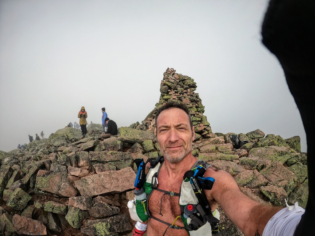
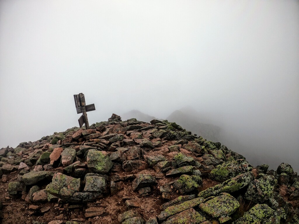
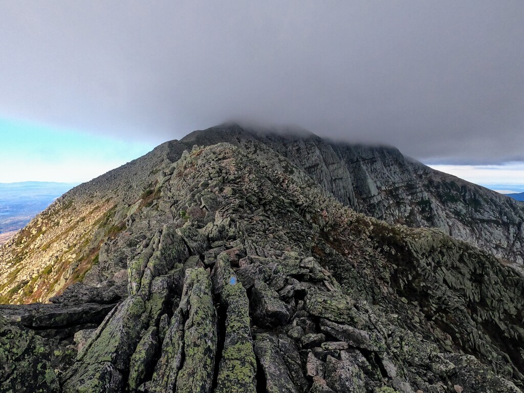
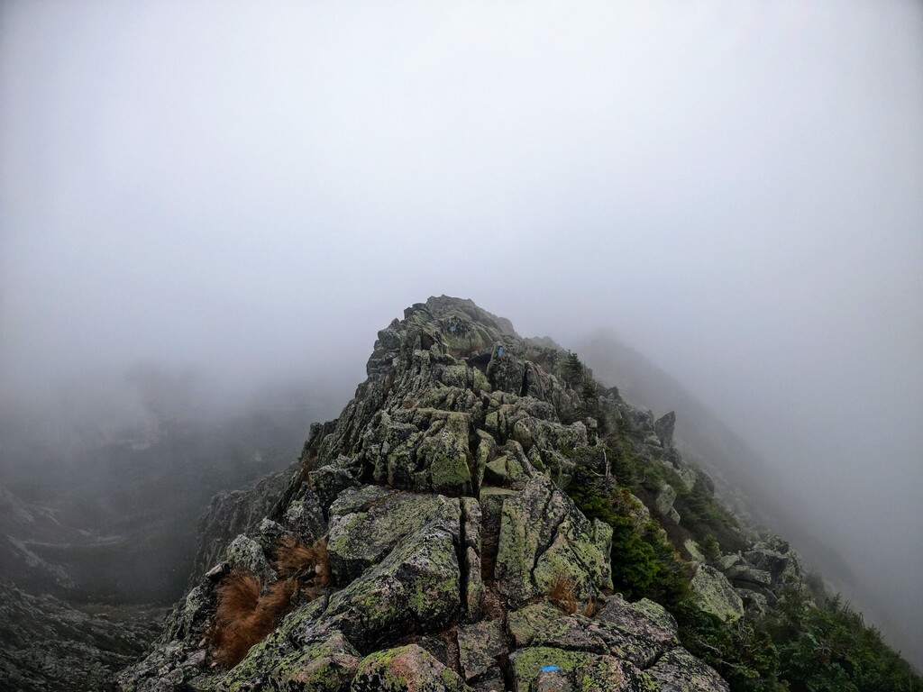
A fine run from Roaring Brook Campground toward Chimney Pond to start things off. Just outside of Chimney Pond, hooked a right to Hamlin Ridge Trail. Beautiful forest here, with birch and mossy rocks, then softwoods. Doesn’t take long to get to the treeline and steeply gain Hamlin Ridge. The ridge starts out as a mix of scrambling and slab running. Finally, you get clear of the last scrub and dance among the slabs and boulders of the ridge spine. Views of Great Basin, the Knife Edge and Katahdin greet you on the left. On your right are the sheer cliffs of North Basin. The ridge flattens out just below the summit proper, with its old weathered signs. This day was windy and foggy at elevation. Turn left toward the Saddle, running among rocks and alpine ground cover. A little up, then mostly down to meet Saddle Trail coming up from the left, out of Chimney Pond. Then it's a long slow uphill on Saddle Trail, with a final steep pitch below Baxter Peak on Katahdin. Today was a foggy trot along the narrow Knife Edge Trail, with the sheer drop on both sides shrouded by clouds. The final crux is the vertical down and up of the Chimney Notch, with downclimbing required. Topping out at Pamola Peak, take the Dudley Trail down to Chimney Pond. This includes descending through huge boulders, scrambling, then some fun alpine running. The new Dudley section presents some muddy forest switchbacks. On this run I stopped in to investigate the Pamola Caves, which added about 2 miles to the route. The rest of the descent takes you through Chimney Pond and back to Roaring Brook Campground.