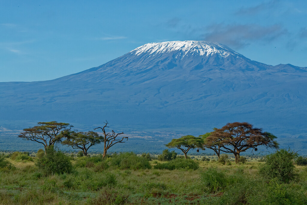
Mount Kilimanjaro is the highest mountain in Africa, with an elevation of 5,895 meters above sea level (MASL). There are several routes to climb to the top of the Kilimanjaro, with the most popular ones being Marangu, Machame, and Lemosho routes, each varying in distance, elevation, and scenery. There is also the possibility of doing the Northern Circuit Route, which literally goes around the Kilimanjaro through its north side. However, that route is always done over several days and does not complete the circuit in its entirety.
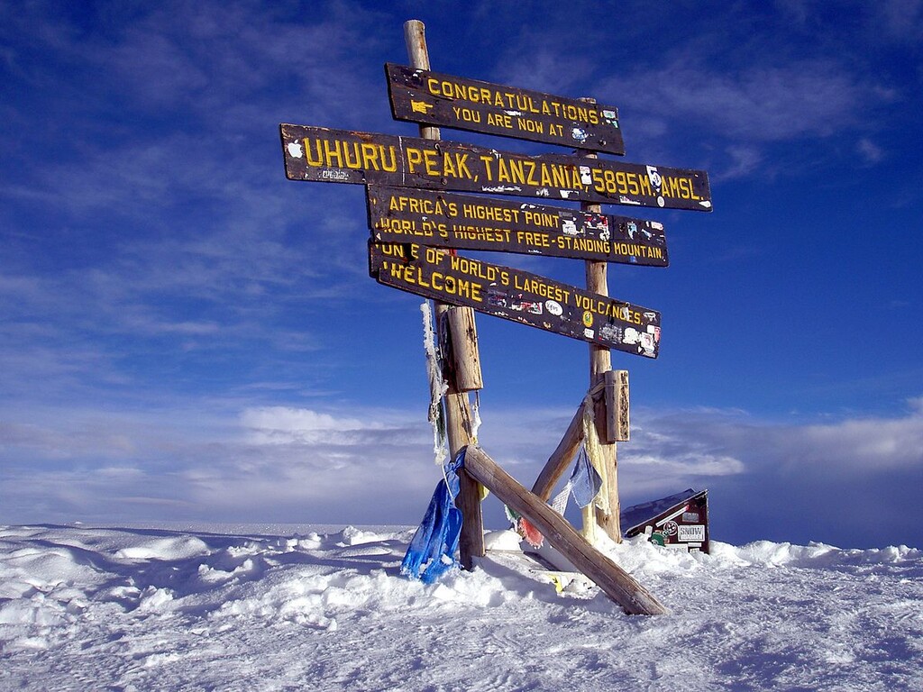
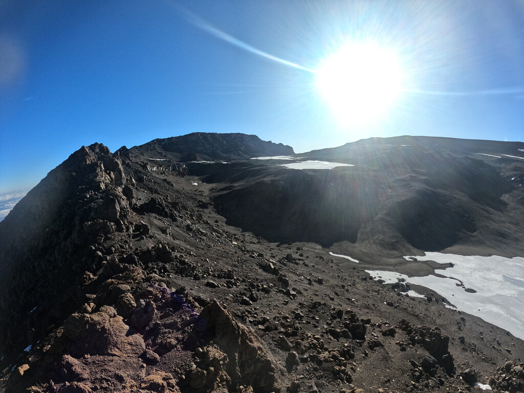
The Kilimanjaro Summit Circuit consists of running around the Kilimanjaro, including summiting once to its highest point (5,895 MASL), which is called Uhuru Peak, located in the Kibo volcanic cone. The circuit starts at Kibo Hut (4,720 MASL) and is run clockwise to start with the summit ascent. This route gives you the opportunity to admire the summit in 360 degrees. Nearly all of the circuit is run above 4,000 MASL, with an approximate distance of 50 kilometers and 3,500 meters of vertical gain. The checkpoints are the following:
- Kibo Hut (4,720 MASL)
- Gilman’s Point (5,685 MASL)
- Stella Point (5,756 MASL)
- Uhuru Peak (5,895 MASL)
- Barafu Camp (4,673 MASL)
- Karanga Camp (3,995 MASL)
- Barranco Camp (3,900 MASL)
- Lava Tower (4,600 MASL)
- Moir Hut (4,200 MASL)
- Buffalo Camp (4,020 MASL)
- Third Cave (3,800 MASL)
- Kibo Hut (4,720 MASL)
In order to be allowed to do this circuit, it is necessary to apply for a special permit in advance through an official operator with certified guides. The backpack and all the equipment can be left at Kibo Hut to run the circuit lightly. All routes are on trails, and most are runnable (75%), with the exception of the steep climb between Kibo Hut and Uhuru Peak.
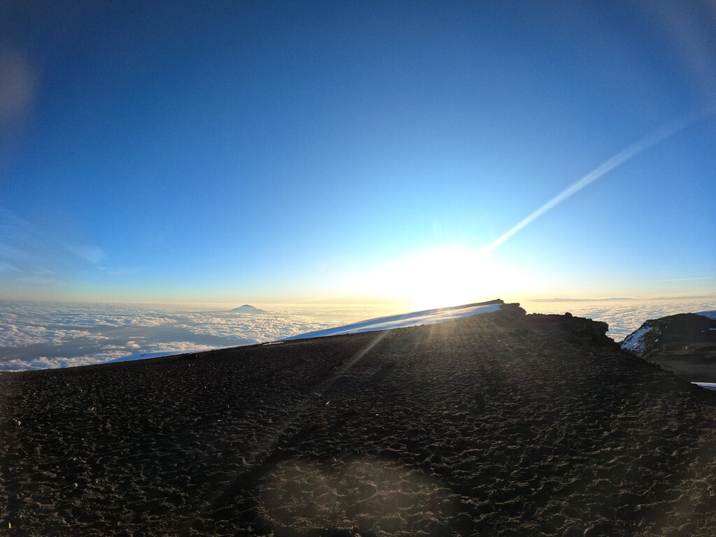
Mount Kilimanjaro is high enough to create its own weather and microclimate, which makes it extremely variable and difficult to predict. The temperature at the summit can vary between -7 to -29 degrees Celsius throughout the year, and the quality of the terrain highly depends on the season. During the wet season, snow can start at 4,800 MASL and visibility can be poor. However, the upside of the wet season is that there are many streams along the way from which to drink water, which can be scarce during the dry season. Unfortunately, the glaciers that cover Mount Kilimanjaro are shrinking every year and are predicted to be lost by 2050 due to climate change.