Location
Michigan,
US
Distance
9.2 mi
Vertical Gain
311 ft
Description
GPS Track
mason-tract-pathway.gpx26.99 KB
FKTs
Male
| Stephen Sensoli | 1h 8m 58s | |||
| Ben Rigling | 1h 21m 30s | |||
| Josh Leisen | 1h 37m 27s |
Male
| Ryan McClure | 2h 20m 10s | |||
| Ben Rigling | 2h 45m 51s |
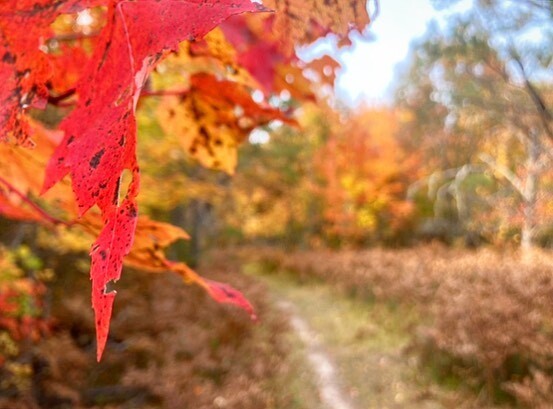
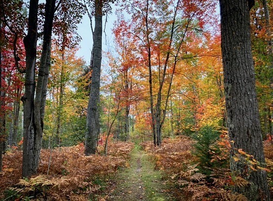
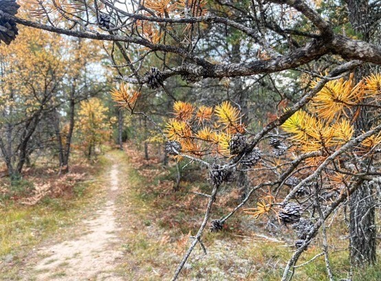
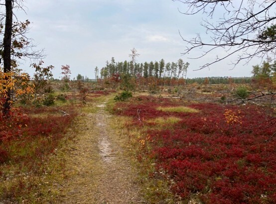
Images