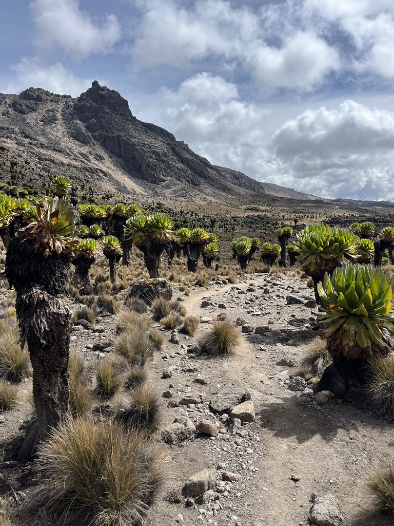
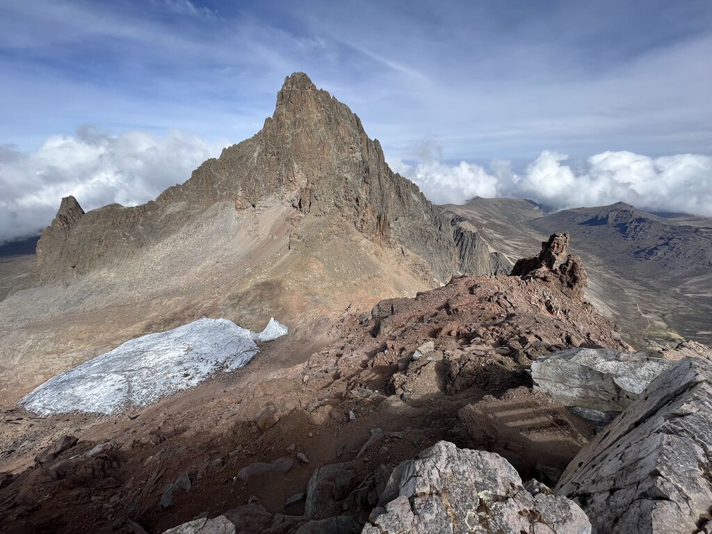
This route is a West-East traverse over Mt. Kenya, starting at the Met Station Gate (3,050m), following the trail up to Mt. Kenya's highest summit reachable without climbing gear, Point Lenana (4,985 m), and then back down over the eastern side of the mountain ending at Chogoria Gate (2,950m). The trail starts in the forest and then emerges out of the tree line to cover an incredible array of flora and passes by one of the mountain's last and tragically small glaciers. From Met to Lenana it's about 13km, with the section around 4,000m at Mackinder's Hut quite runnable and one of the only places to fill up water (from the stream). Near the top, it gets steep with some class 3 moves. The route down to Chogoria is beautiful with some small rises and falls through the volcanic landscape and another chance to fill up on water at about 25km. After that, the rest of the way is a cruise down a dirt road with a short, steep hill at the finish. Overall, a lovely route with a clearly established trail and spectacular views! Good to get as early start as possible as the rain and clouds move in seemingly every afternoon.
Met Station to Lenana: https://www.tranquilkilimanjaro.com/naro-moru-route
Chogoria to Lenana: https://www.tranquilkilimanjaro.com/chogoria-route