Location
Utah,
US
Distance
26 mi
Vertical Gain
7,300 ft
Description
GPS Track
FKTs
Male
Female
Mixed-gender team
| Sean Ryan | 5h 46m 18s |
| Isabel Reback | 7h 15m 58s |
| Caroline Gleich | 8h 16m 19s |
| Caroline Himbert, Andrew Weuling | 8h 9m 39s |
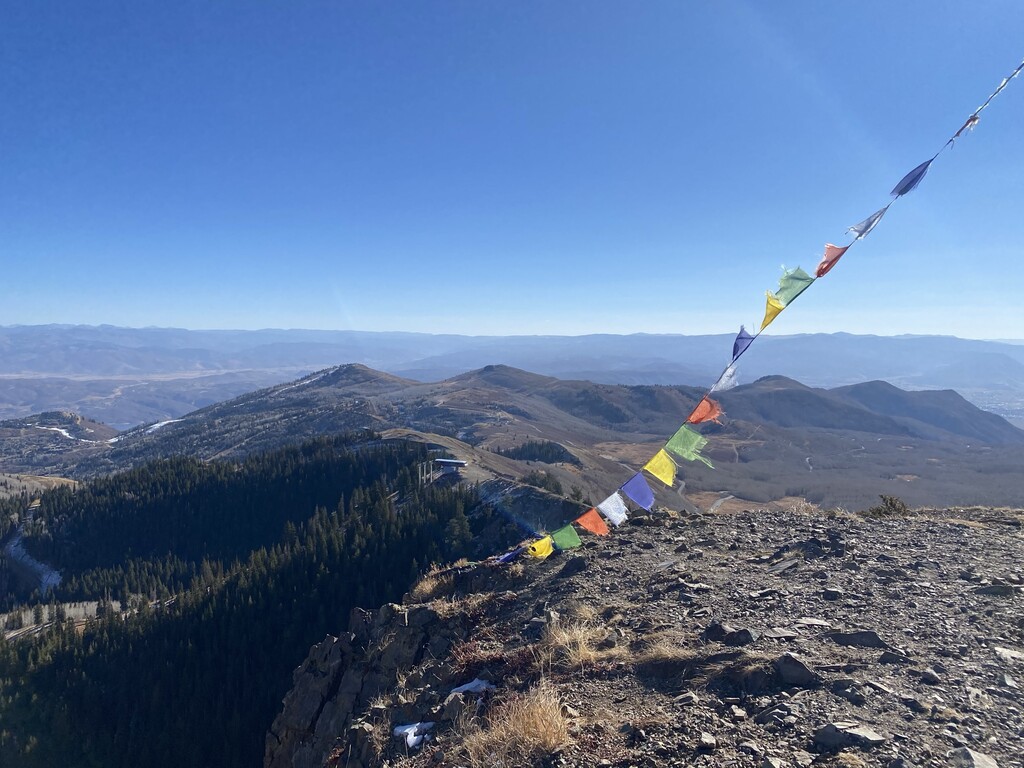
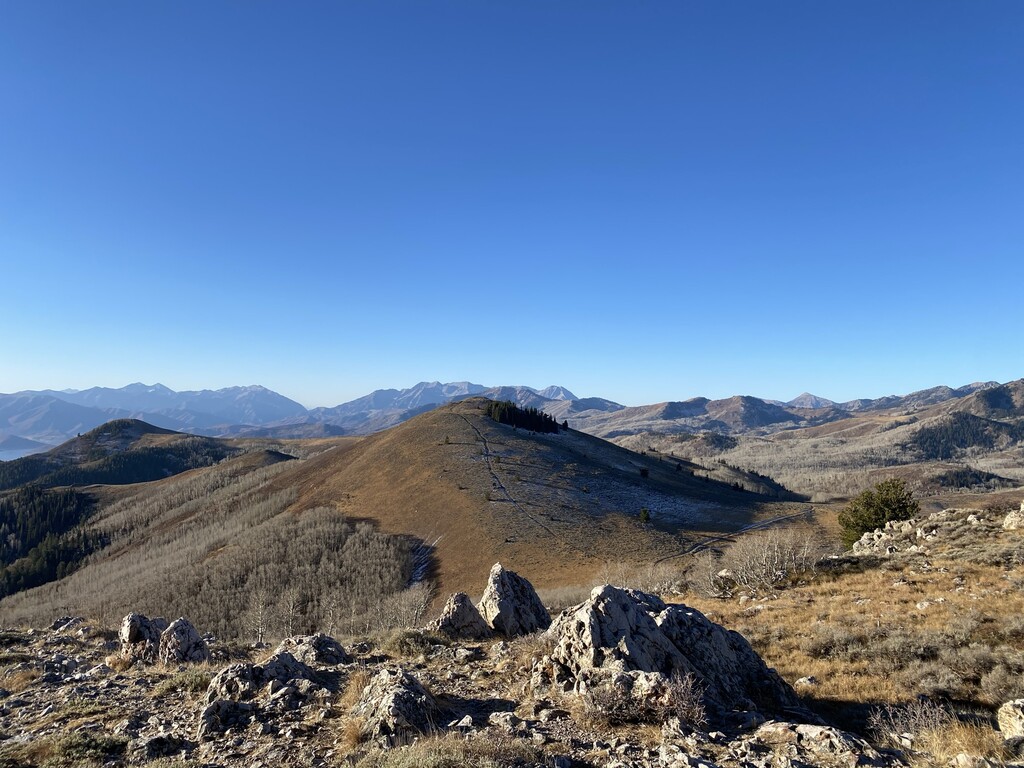
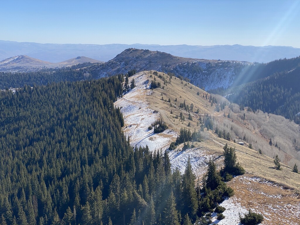
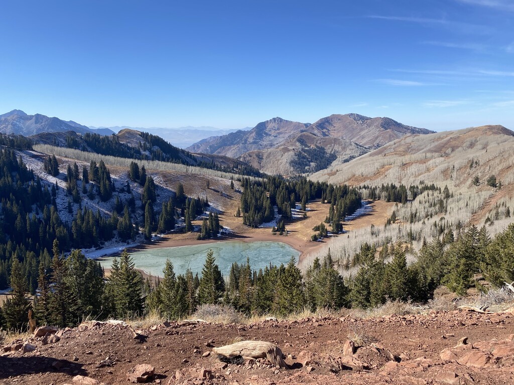
Images