Location
Washington,
US
Distance
8.5 mi
Vertical Gain
3,434 ft
Description
GPS Track
Mt_Rainier_Shriner_Peak.gpx2.18 MB
FKTs
Male
Female
| Avery Collins | 1h 23m 2s | |||
| Uli Steidl | 1h 25m 0s | |||
| William Rice | 1h 44m 54s | |||
| Brian Abrams | 2h 30m 31s |
| Trisha Steidl | 2h 3m 58s |
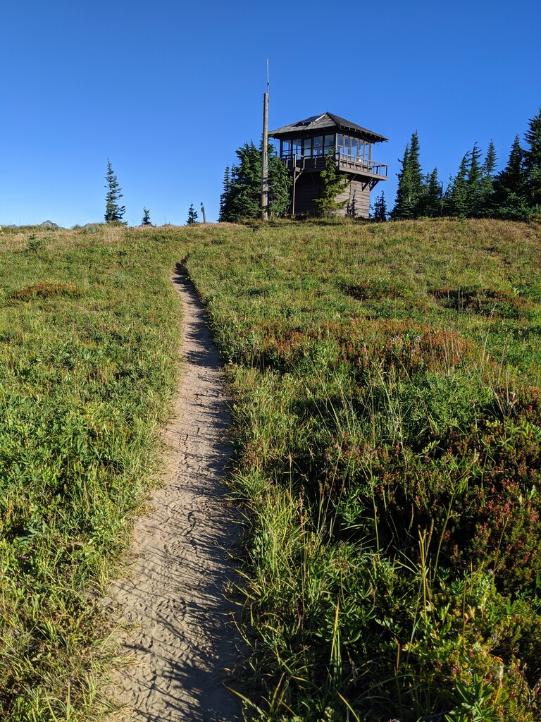
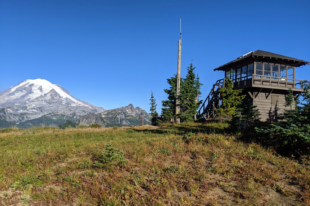
Images