Location
Ontario,
CA
Distance
25.5 km
Vertical Gain
1,073 ft
Description
GPS Track
Swift Rapids to Lock 43.gpx1.76 MB
FKTs
Male
Female
| Jamieson Hatt | 52m 38s |
| Chantal Demers | 1h 4m 19s |
Female
| Chantal Demers | 2h 8m 26s |
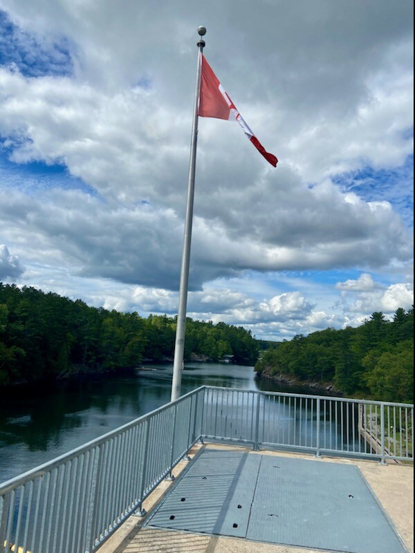
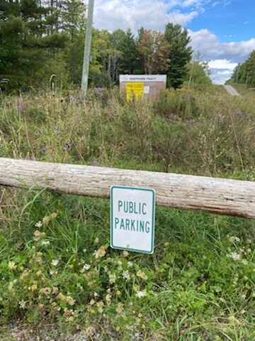
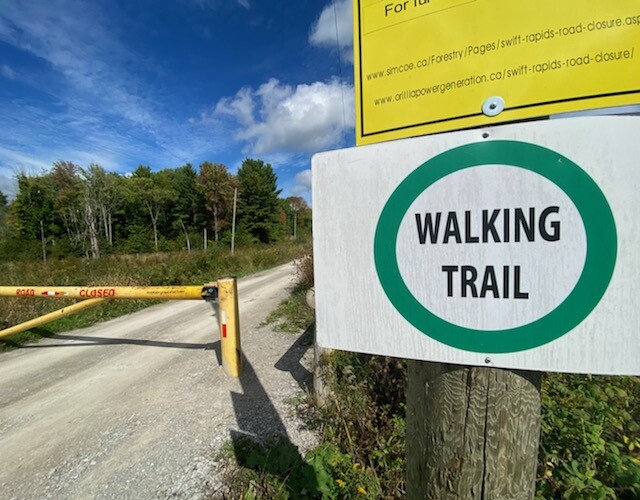
Images