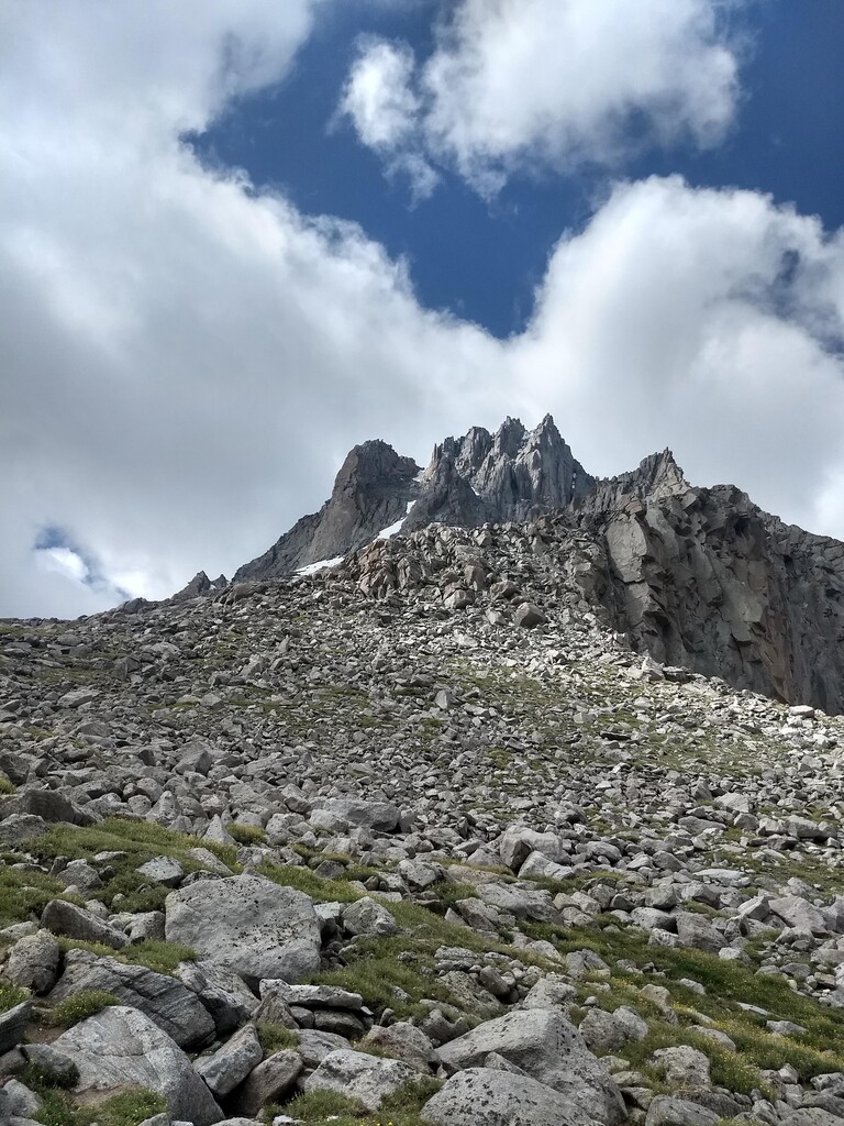
Temple Peak is the second highest peak in the Southern Wind River Range behind Wind River Peak, and misses out on the Wyoming 13ers list by an agonizing 23 feet. Its impressive sheer northwest face, hidden from cars passing to the south on Highway 28, is immediately apparent upon rounding Big Sandy Lake, and hides the ascent route from view.
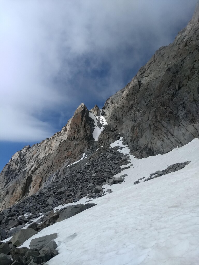
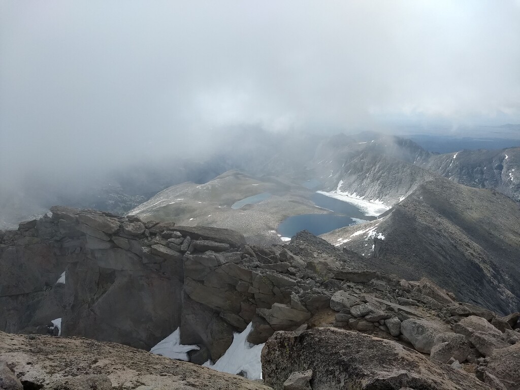
The route starts at the busy Big Sandy Trailhead, and 5 easy flatish trail miles brings you to Big Sandy Lake. Make your way around the lake, then take the righthand option at both the Black Joe Trail fork, and the Clear & Deep Lakes Trail fork. This will deposit you onto an unofficial stock trail that climbs up to Rapid Lake and follows the valley past Miller and Temple Lakes. Leaving Temple Lake, you have a steep climb up scree slopes to Temple Pass, then head right straight up the block talus and scree. From there, there are two possible ascent gullies - I chose the righthand, steeper and more direct option, which was solid 4th class scrambling with maybe a few 5th class moves. The left option looked at bit less steep, but had more lingering snow, which looked like it might present problems. The rock on the right side at least was solid. After topping out the gully, it is a short boulder hop to the peak, where impressive views of the Cirque and Wind River Peak await. You can also poke your nose out and peer down the northwest face for a bit of an adrenaline shot! Descend the same way.