The Trans Canada Trail offers a wide range of activities through a variety of landscapes – urban, rural and wilderness; along greenways, waterways and roadways. Stretching 28,000 km from coast to coast to coast, it embodies the vastness of our terrain and the diversity of our people.
As the longest trail network in the world, the Trans Canada Trail connects Canadians and visitors to nature and to one another, from coast to coast to coast, through accessible and inclusive outdoor activities. Through collaboration and partnerships, we build, maintain and steward Canada’s national trail, a unique system of connected urban and rural trails.
Building on the achievement of connection, the Trans Canada Trail will continue to inspire everyone to embrace the outdoors, to discover the diversity of our land and people, to enhance their health and well-being, and to share their stories along this globally significant and iconic trail network.
https://tctrail.ca/
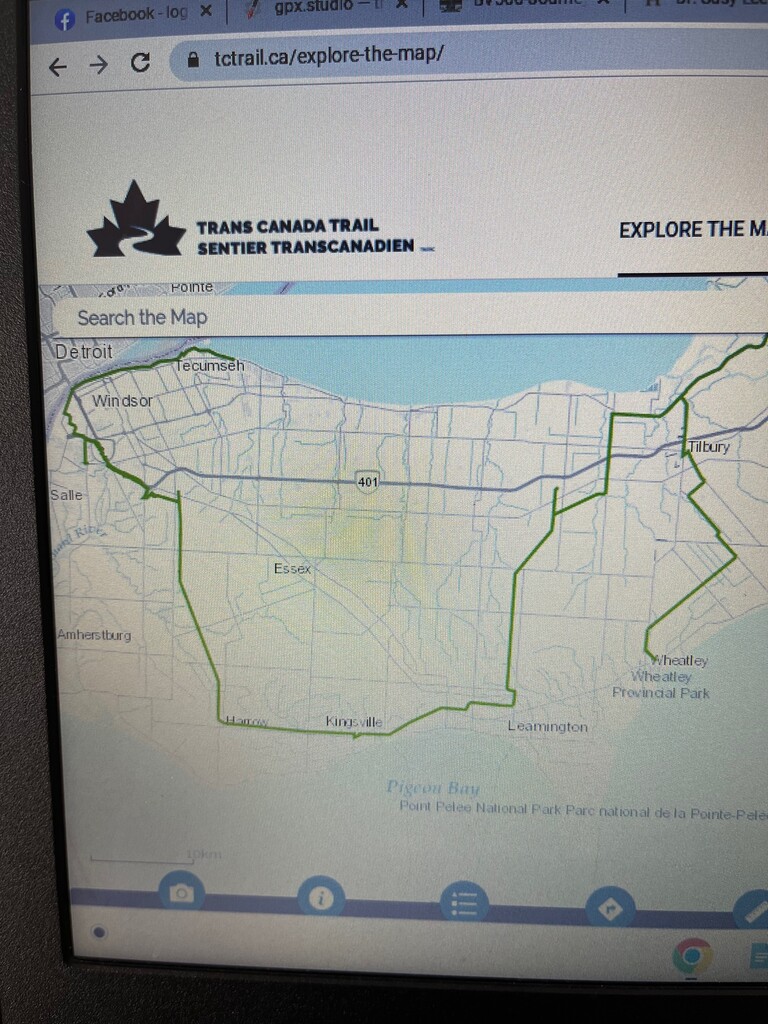
https://tctrail.ca/explore-the-map/
https://en.wikipedia.org/wiki/Essex_County,_Ontario
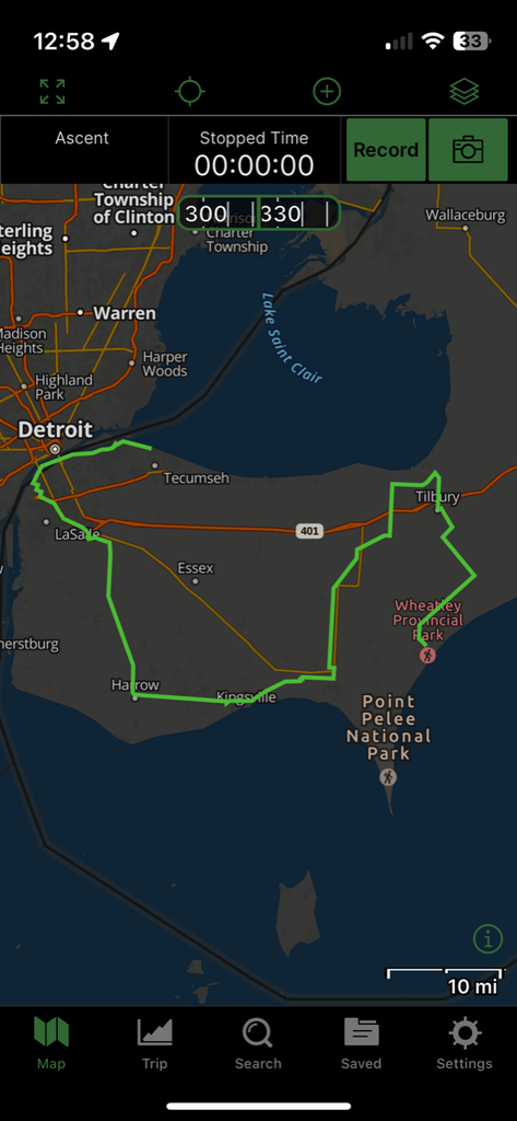
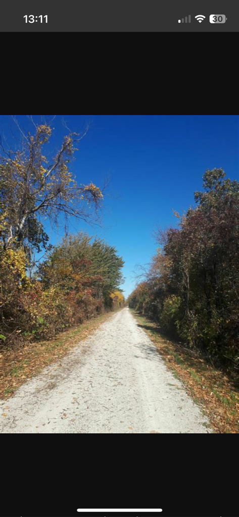
This section from Wheatley to Tecumseh is the most southern point of the entire trail. Most of the trail is within Essex County. It is 94 miles in length and uses dirt and paved roads, rail trail and paved pathways.
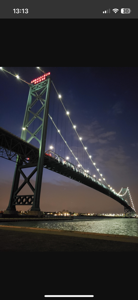
The trail starts at the intersection of Klondyke Road and Hwy 3(Talbot Trail) in Wheately. You start out heading north towards the town of Tilbury. After crossing the 401 Hwy you head west for a bit before making the turn south. Once again, you cross the 401 and go near the town of Comber. This is the start of a long rail trail section. The trail keeps heading south until you hit Leamington. You then start heading west. Passing through Ruthven and Kingsville until you hit Harrow which the trail bends north and heads up towards McGregor. Take the junction west and head towards the 401/Herb Grey Parkway paved trail. Head through Malden Park towards Sandwich St. This then connects to the Windsor Riverfront Trail. Make sure to look up in awe of the great Ambassador Bridge which connects Windsor to Detroit. This section eventually ends and you keep heading east on Riverside Drive. You eventually link up with the Ganatchio trail section. The trail ends just before Lesperace Rd on Riverside Dr E.
The route has a few markings signifying the Trans Canada Trail, but remains mostly unmarked. One can navigate using the provided gpx file. The section of the Trans Can is unique due to it dead ending in Wheately and Tecumseh. Feel free to take the shortest route following the trail on the official website. There are options for both sides of the Herb Grey Parkway Trail. There are also some out and backs which aren't necessary. This route showcases what Essex Country has to offer. There's also probably nowhere flatter on earth. Enjoy!