This challenging circular route follows the watershed of the catchment for the river Wear, in the north of England.
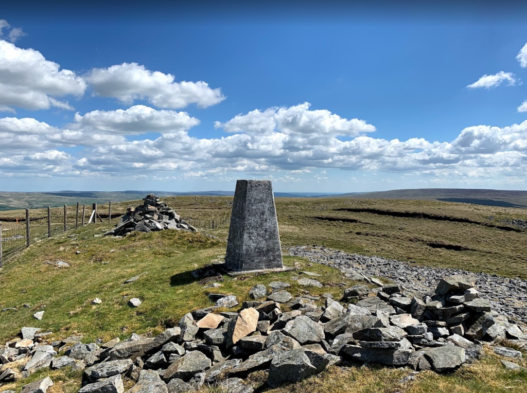
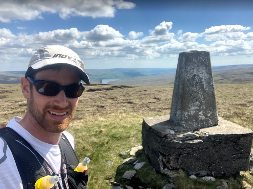
Starting from the small village of Frosterley you climb briefly on roads, tracks and then single trail up to visit the first of 15 summits with (weather permitting) spectacular views out to the coast and into the moors towards the awaiting fells.
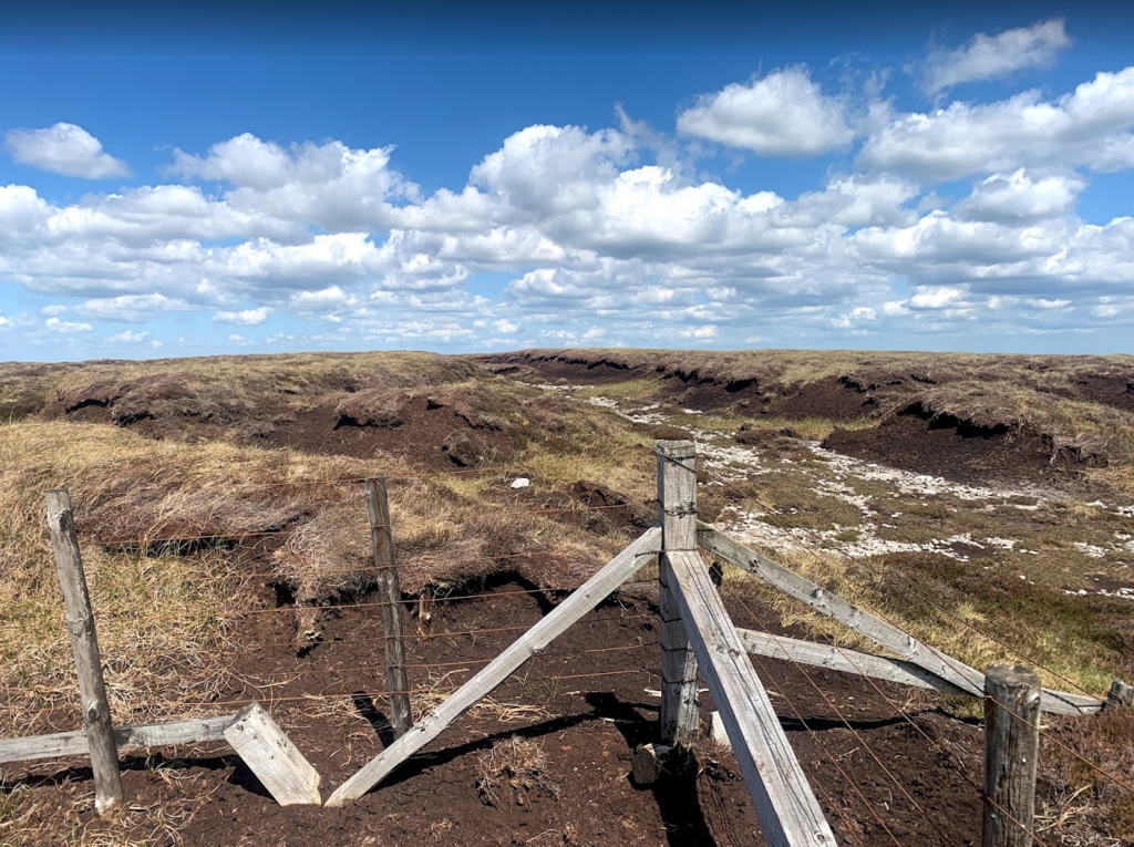
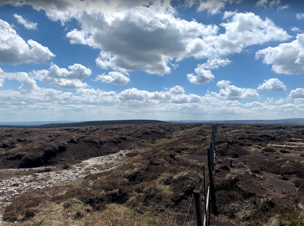
The terrain from the third top of Bolts Law onwards becomes increasingly rough; predominantly heather, tussocks and peat hags with few established trails underfoot to follow except shooting trods, quad tracks usually found by the helpful handrail of a boundary fence, which is present for much of the route.
Following the watershed ensures that you have no shortage of views and a sense of remoteness, but also no opportunity to access flowing water, save for the numerous energy sapping and in some cases hazardous marshes and bogs encountered on route.
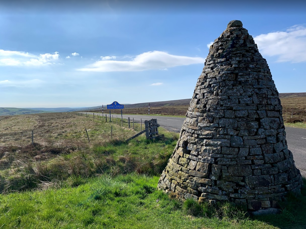
Although not big hills, these moors are extremely exposed and the weather can change quickly and the nature of the terrain can make navigation and maintaining progress challenging - so come prepared. There are numerous escape routes and road crossings should the need to bail arise.
I had a fantastic day taking on this route and would happily return with some friends for company, having done the route solo for all except the last 10km.