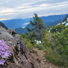
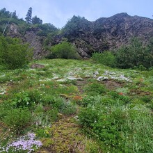
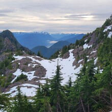
An absolute classic of a "climb" on the western peninsula. Summer is the ideal season to attempt an FKT, due to deep snow in the winter which can linger in some capacity into June or even early July on a good year. This is one of the two routes to the Colonel Bob lookout, the longer and harder of the two. The climb starts in the Quinault rainforest on the South Shore Road, and steeply switchbacks its way up Ziegler Creek, passing through a beautiful ancient rainforest untouched by logging. The trail during this portion is narrow, but not too rocky, and can have a decent amount of blowdown to crawl over or under. After passing the shelter, the trail redoubles its steepness to the ridge above Gibson Slide. From here, most of the distance is complete. Passing through Moonshine flats, you can catch a glimpse of the Bob above you, and the final push. The summit scramble is very easy, not even requiring handwork.
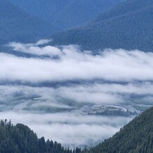
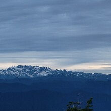
On a clear day the summit offers premium views of mount Olympus, lake Quinault and even the Pacific Ocean. Don't enjoy it for too long though, because you are here to get an FKT, right?
The descent is not something to take lightly. The first couple miles of descent are rugged, and may even be slower on the way down than the way up. Be sure not to take a wrong turn and descend the Petes Creek route in Gibson Slide lest you have to double back over thousands of feet of elevation. Finally, make a stop at the Quinault general store to pick up a bag of chips. You will need it.
More info and trip reports: https://www.wta.org/go-hiking/hikes/colonel-bob-trail-colonel-bob-peak


Comments
I am the submitter of this route. The distance is meant to be 15 and the elevation 5k. I accidently entered the one way stats. This is a car to car route. I reached out to the admin to fix this.