Many locals have looped the lake so it's about time there was an official FKT!
Grapevine Lake is on the northern side of Dallas Fort Worth. The lake is surrounded by suburbs but its shores are lined with some of the best trail systems in the metroplex, namely Knob Hill, the North Shore, and the Trophy Club / Southlake trails. In addition to these larger trail systems, this route utilizes smaller trails (Rocky Point and Horseshoe) and paved bike/pedestrian paths (Oak Grove Park and the Bobcat trail).
There are occasional stretches of road running in neighborhoods to connect trails. The most noteworthy stretch of road is crossing the dam which holds the water in the lake (Fairway Drive). There is no shoulder on this road, and it is highly recommend that one wears reflective gear and times the crossing when traffic is low.
Many of the trails are shared with bikes and horses and specify which way runners and hikers should travel. The loop can be completed in either direction but is materially shorter when traveling counterclockwise and following the directional rules of each trail. There are ample trailheads to start your journey throughout the route.
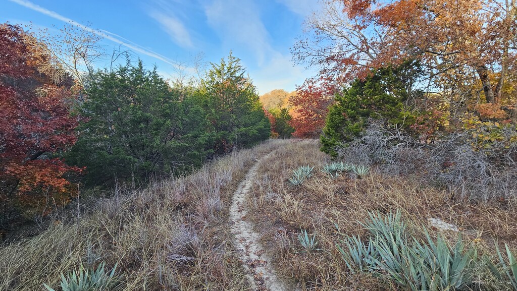
The Loop the Lake FKT is mostly made up of flat, sandy trails with beautiful views of the lake, dense wildlife, and friendly people!

Comments
Love seeing new routes in Texas
I'm making plans to do this next week. Note: I'm not planning to swim across Denton Creek like the route here. I'm gonna use Hwy 377 which might add 0.4 miles to it.
I looped all of Grapevine Lake. But I was unable to follow the Standard route. I was short on water once I got to the South Shore. So I left the single-track trails. Headed to the city streets to replenish my water. I'm grateful to Nick, Abel, and Michael for mapping it out. As a non-local I would've gotten lost many times without their directions. I completed a loop of 48.6 miles in 12 hours and 18 minutes. Beautiful trails. Remote and empty on the West-end. Saw rabbits. Challenged some young bucks. Saw an armadillo. You definitely need lights on Fairway Dr. While I avoided swimming across Denton Creek by taking Hwy 377, that road was quite unpleasant. A lot of big truck traffic. The bridge over the creek has no shoulder - a little scary. I got it done though! I'd say pack more water if you do this. I had 1.5L. But the places to refill are limited. I even risked grabbing water from a local stream. A fun day's outing!