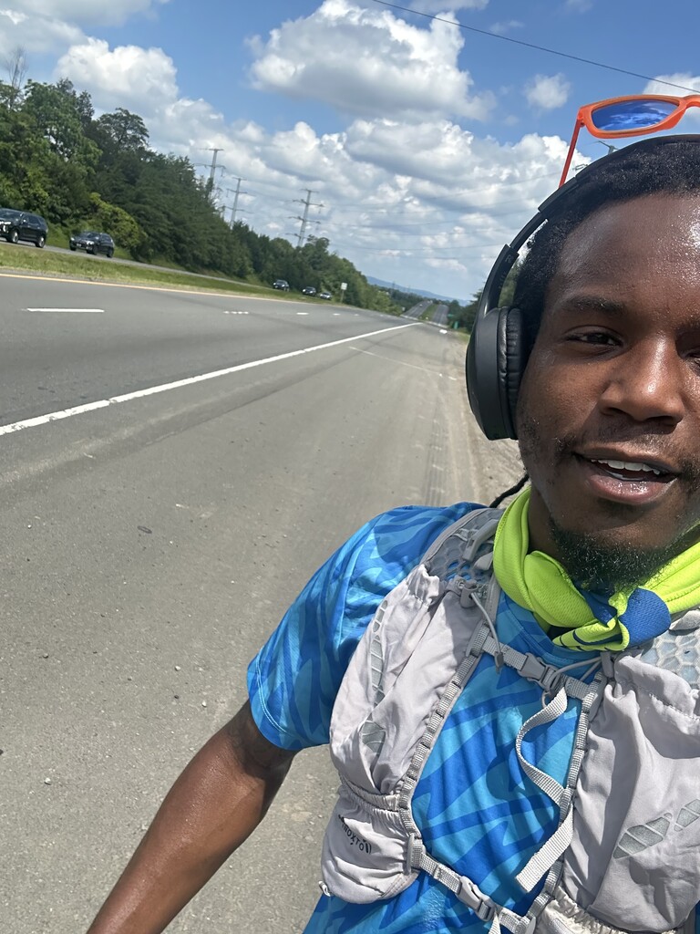
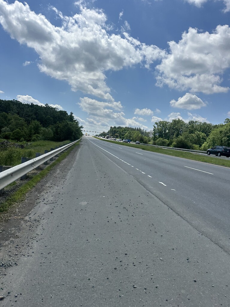
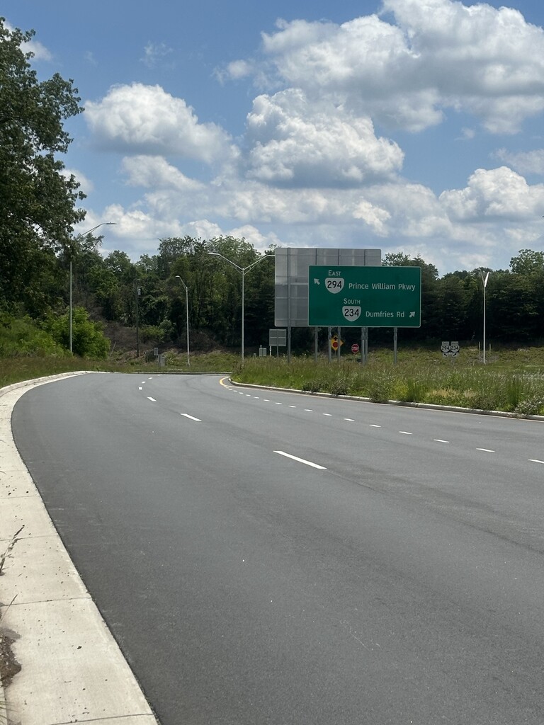
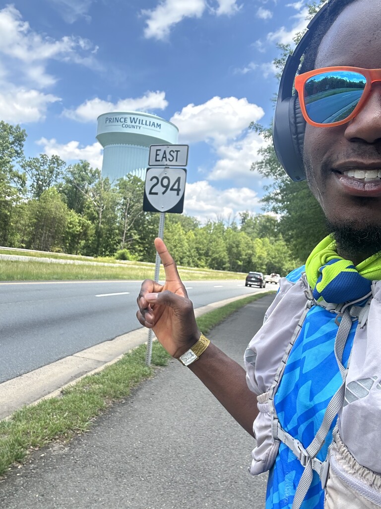
Route: Prince William Parkway

Submitted by Jonathan Ladson on Fri, 05/30/2025 - 09:02pm
Location
Virginia, US
Distance
24.5 km
Vertical Gain
1,024 m
Description

Prince William Parkway is a major east-west thoroughfare running through Prince William County, Virginia.


This route follows the full length of Prince William Parkway (VA-294) from west to east. It connects key towns including Manassas, Lake Ridge, Dale City, and Woodbridge. The route is mostly flat to gently rolling, with a mix of four- to six-lane roads, and includes pedestrian paths and bike lanes in many sections. It’s commonly used for commuting, running, cycling, and local events.

The first portion covers 8.32 miles (13.39 km) along SR 234, and the second portion continues for 16.07 miles (25.86 km) along SR 294.

The route begins near Interstate 66 (I-66) in Gainesville, follows SR 234 (Dumfries Road), transitions onto Prince William Parkway (SR 294) near Manassas, and finishes near U.S. Route 1 in Woodbridge.

Comments

User Picture
Profile picture for user Jonathan Ladson

I made an error when submitting this, it’s supposed to be MILES not KM!Â