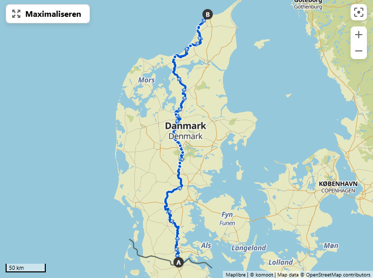
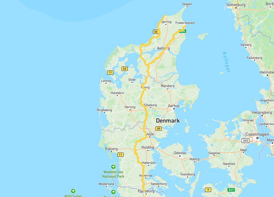
Location
Denmark
Distance
510 km
Vertical Gain
2,640 m
Description
GPS Track
FKTs
Male
| Ben Verhoegstraete | 5d 15h 17m 0s |
| Joachim Niclasen | 6d 21h 20m 24s |
Images
Comments
I will be attempting to set a supported FKT on this variant and overall Hærvejen route on the 23rd of July.
I will be supported by 2 people that will provide food and water at several stops during each day. We will be sleeping at shelters on the route during the FKT attempt.
Tracking and additional info will be provided by Garmin Fenix 7, Garmin HRM Pro Plus and Stryd pod.
I will attempt to set a self-supported FKT on Hærvejen (Padborg to Hirtshals) on June 29th.
I will get water at public water posts and cemeteries along the way. I will visit grocery stores daily for food supplies. I plan to sleep at hostels (Hærvejsherberger) on the route.
I will track my journey on my Garmin Instinct E. Back-up tracking will be provided by Whoop + Fairphone (if my battery pack allows for it).
I will be posting daily updates on Strava and Instagram.