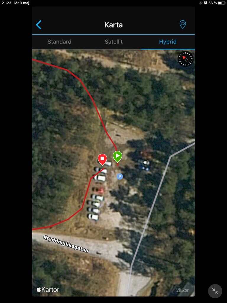
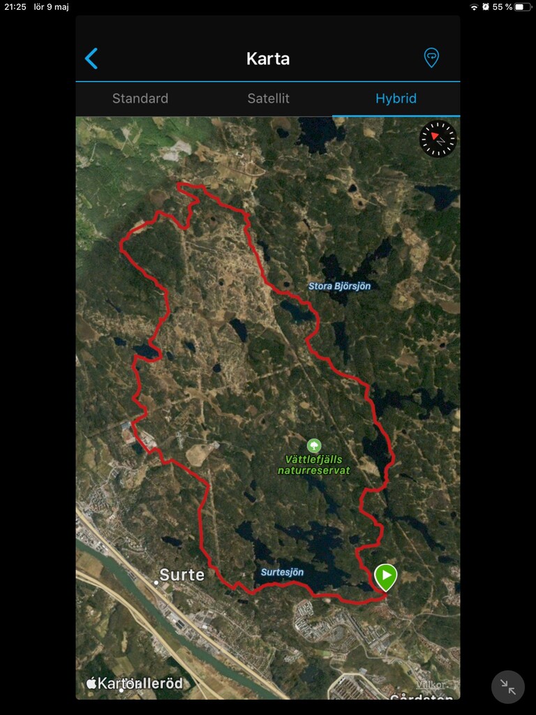
Route: Vättlefjällsleden (Sweden)

Submitted by Johan Dahlgren on Sat, 05/09/2020 - 01:08pm
Location
Sweden
Distance
22.57 km
Vertical Gain
482 m
Description

Vättlefjäll is a nature reserve which is a popular recreation area year round. In the summer people come here to run, bike and hike, or go for a swim in any of the lakes. You can rent canoes at Vättlefjällsstugan. At winter you can go skating on the lakes if the ice is thick enough. Several hiking paths cross the area, such as Bohusleden and Pilgrimsleden.

The start/finish of Vättlefjällsleden is at the parking lot closest to Vättlefjällsstugan. The route is preferably ran in a counter clockwise direction. When you have about 300 m left, there is a junction with a sign directing you to the left. Instead, keep to the right as this completes a lap without repeating any part of the route. 

- Submitted by Johan Dahlgren

GPS Track
Images

Comments

Strong effort on the Unsupported FKT on this. I gave it an effort today, but after falling twice and and taking two wrong turns i missed it by five minutes. Will for sure give it another try next time i'm in the area.

https://www.strava.com/activities/3847507242


Also, should not the Unsupported FKT be the Supported one as well? Considering it's the faster one.