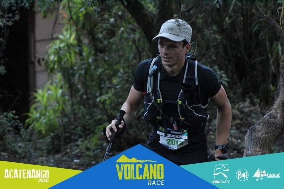
Route: Acatenango & Fuego (Guatemala)

Submitted by gbianchip.gt on Wed, 08/05/2020 - 03:04pm
Location
Guatemala
Distance
21.09 km
Vertical Gain
2,098 m
Description

The route started at the community hall in aldea La Soledad, directly to Acatenango Volcano summit via "Ruta Panorámica", then descending via "Cazadores" to connect Fuego Volcano summit and then going the same trail back. After the two summits we descended all the way to the community hall.

Acatenango summit 3,976m

Fuego summit 3,763m (you can't go to the true summit of this active Volcano)


GPS Track
Images

Comments

User Picture
Profile picture for user gbianchip.gt

.Â