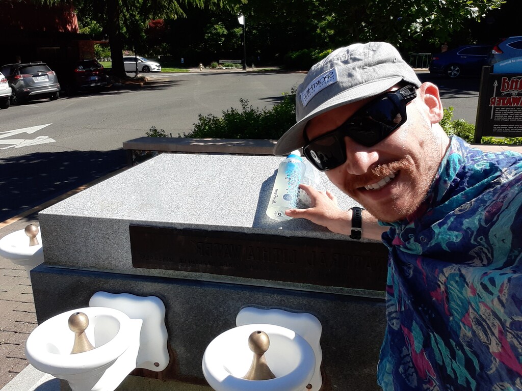
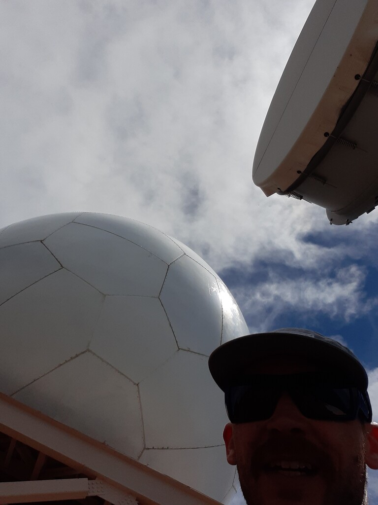
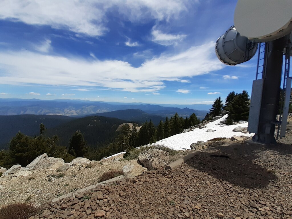
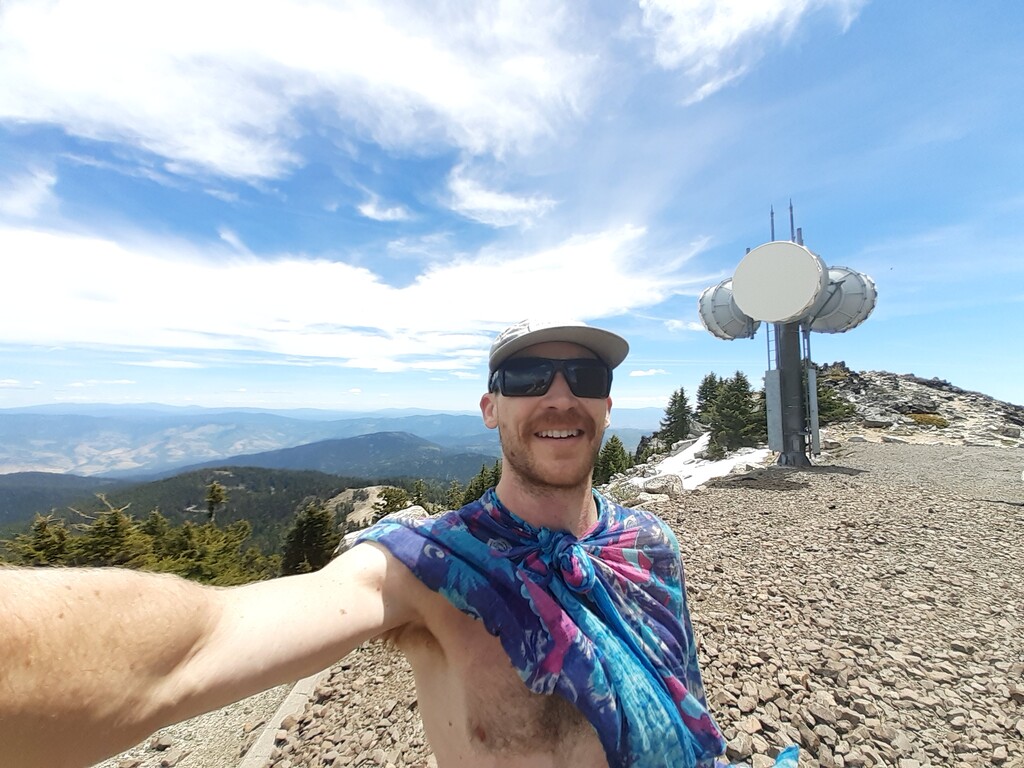
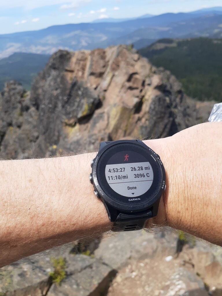
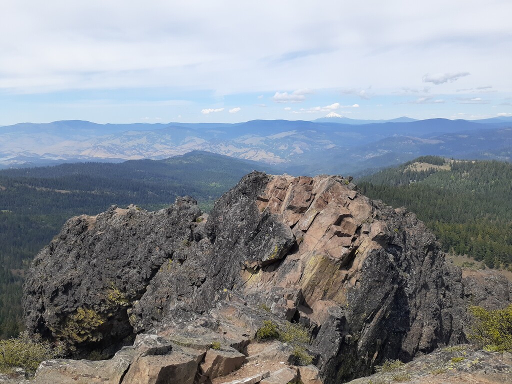
Start at the Lithia water fountain in the ashland downtown plaza, at the base of Lithia Park at about 1900 feet elevation. Take any route desired up to peak Mt Ashland above 7300 feet. The classic "Mt Ashland Hillclimb" race course with a more direct first 2 miles is the fastest. This is about 9 miles of dirt road and 3 of trail and a quarter mile of peak scramble - or half mile of trail to the peak out if you choose - which may be faster pending snow/ ability scrambling. Views of Pilot Rock (and so much more) are off in the distance from Mt Ashland's peak and along the way down the PCT several times! Now get to the Pacific Crest trail at or above the Mt Ashland Ski Lodge. There is an access road that will come close to the PCT off the backside of the mountain peak. A more direct scramble is possible back down the face of Mt A and from the parking lot down to PCT though its rough and no trail exists between them. The completely on road/trail route will add at least 1.8 miles to the total as I risked it to scramble down the face and direct to PCT. I was able to fill water at the Mt A Ski Lodge though this may not always be possible. Depending on the time of year some water may be available on the PCT near a home the trail passes or via snow melt though I did not see anywhere with reliable filling potential. More homework could prove invaluable here.
I started on the PCT just below the lodge at about 13.5 miles accrued and took it all the way to the base of Pilot Rock at 26 miles. Thats 12.5 miles of continuous PCT, how cool! NOTE: about 9 miles below MT Ashland, the PCT crosses hwy 99, TURN RIGHT and travel along the highway for 0.5 mile until you meet the PCT on the left side and continue on trail.
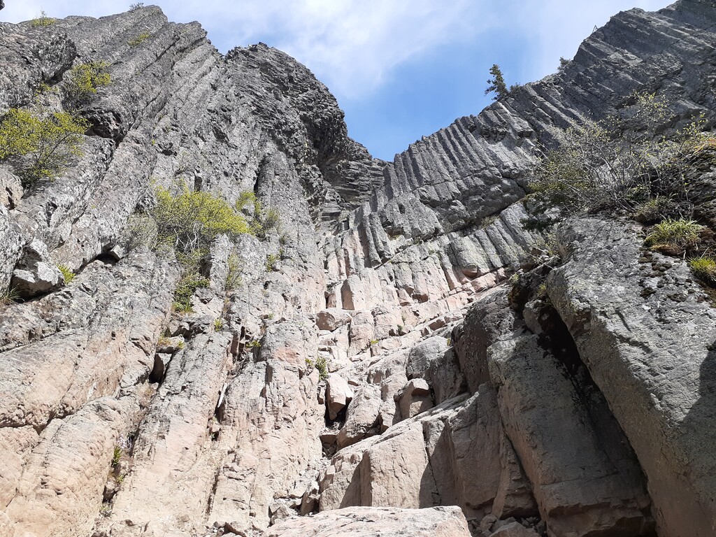
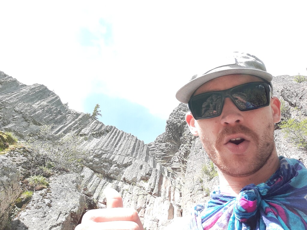
The final climb up Pilot Rock can be rough and not for the completely inexperienced climber/scrambler. It looks to be rated 5.6 difficulty from a quick google search. A few tough spots after running a marathon. Take your time, a fall could be a big unforgiving fall here despite this being a popular hiking destination with many visitors.
To get back down (essential though not part of the FKT route), descend just like you went up and about 1.2 miles away is a trailhead parking lot. There is a pit toilet and no running water. Follow signage to get there.
Recap/Basics for the route:
1. Start downtown at the plaza's Lithia water fountain.
2. Summit Mt Ashland.
3. Get on PCT at or above the Mt Ashland Ski lodge to descend (no running down Mt Ashland ski road for this route).
4. Finish at peak of Pilot Rock.
So far this is a Only Known Time but with such a strong local ultra community and the connection of downtown ashland, Mt Ashland's peak, 12+ miles of PCT and peaking Pilot Rock, I think this will become popular overtime with locals and visitors for a bang for your buck route of the area.
https://strava.app.link/jeYY96R2X6
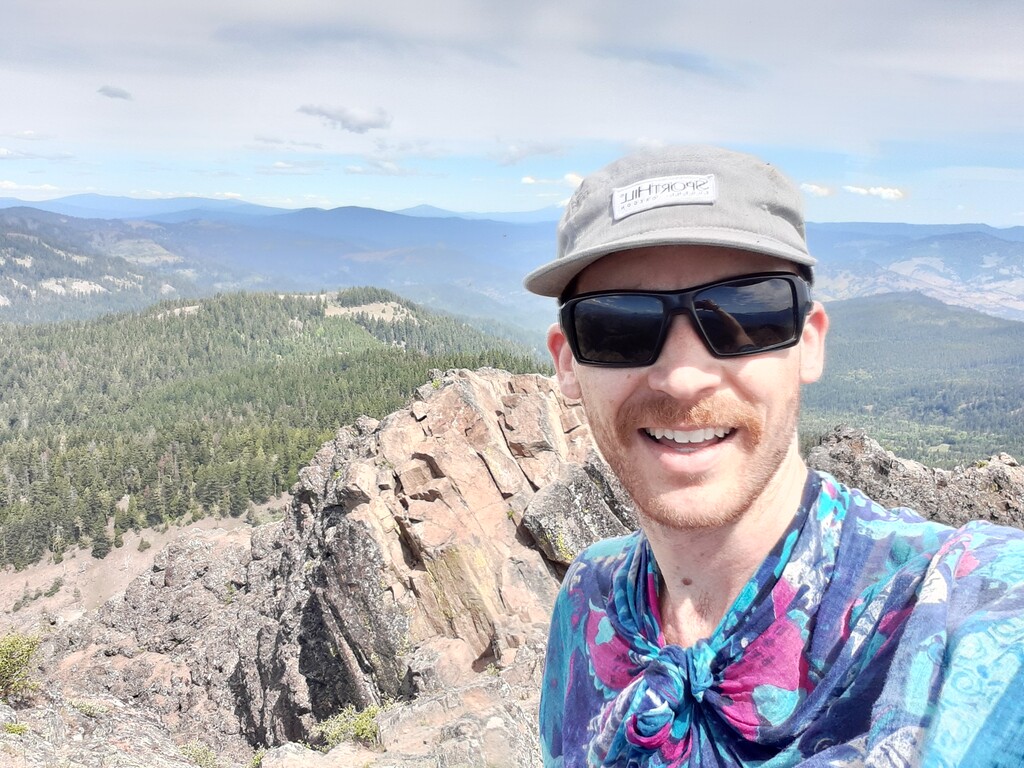
- Submitted by Jace Hinesly
Comments
Hey folks, I plan on attempting this FKT, female unsupported, tomorrow morning, Sept 5, at 5am. If all goes as planned, my goal is around 6.5 hrs. Should be a beautiful day out there in the trees tomorrow!