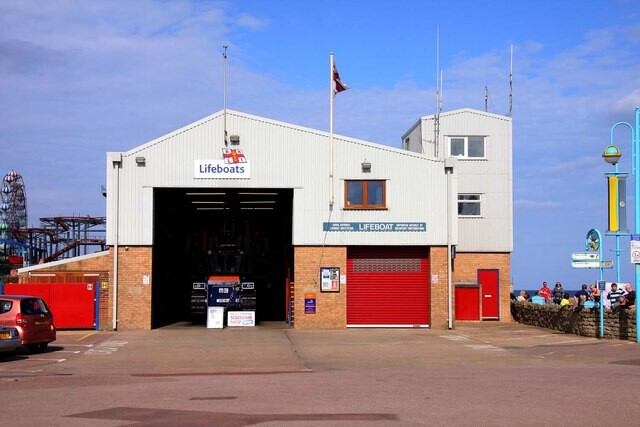
A popular training route on the Lincolnshire Coast. Starting at the iconic Lifeboat Station in the seaside resort of Skegness you head through the iconic town and out the other side along Lincoln road, then turning right crossing over the traffic lights along Burgh road onto Skegness road, heading for the small village of Burgh le Marsh. all along pavements we are all used to. Turn into Burgh and up and over the hill at the square and keep to the raised footpath at the side of the church then turning left towards the doctors signposted, which is Wainfleet Road.
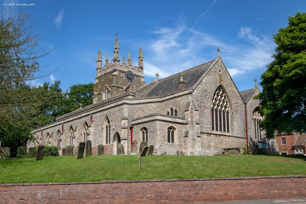
Now leaving Burgh le Marsh head out on Wainfleet road which leads onto Bratoft End which then comes to a small T junction of Wainfleet Road. Turn right heading North to the small village of Irby in the Marsh. stay on the same road which changes to Mill Lane in name passing North road and reaching Hunger Hill. Then at Hunger Hill about 10 miles distance at this point, still keep on the same road passing the Medowlands Lodge Park and the former RAF operations block then continue up the hill untill the T junction and turn right onto Holegate Road over the river Lymn then continue the climb onto Spilsby Road little path in grass verge, and then on through Spilsby market place until reaching the cross roads head straight on and the Church is on the left reaching the end of the FKT the climb and over 14 miles in distance. although on paper doesn't look all that difficult much harder to do in real life and a great route from the iconic seaside resort from Skegness.
Note that the FKT may be run in either direction.
Comments
1st attempt at putting a time on the board for this route this afternoon planning on leaving the lifeboat station at 4pm as the route is only one way sub 1:50 would be nice for this route.