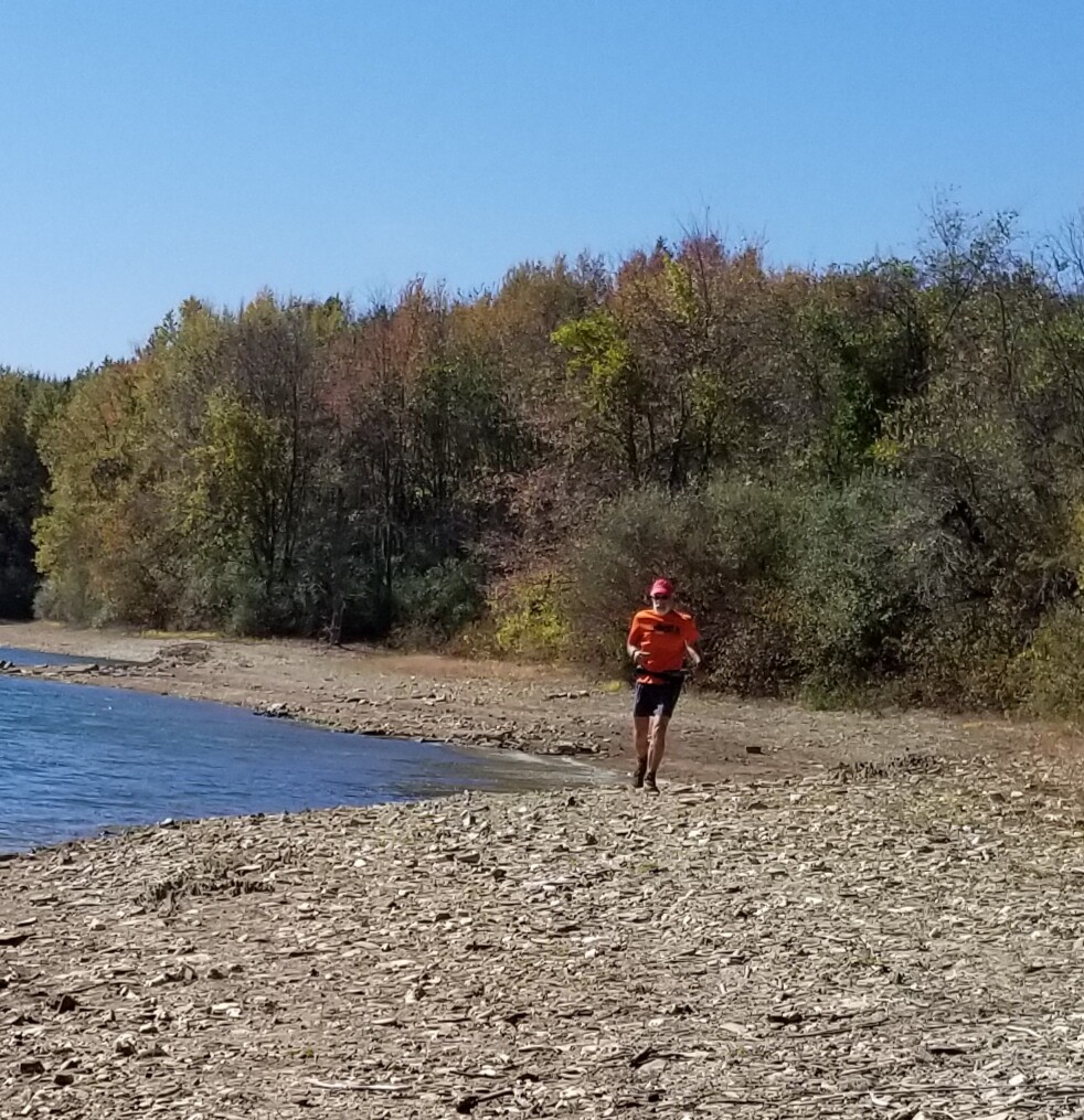
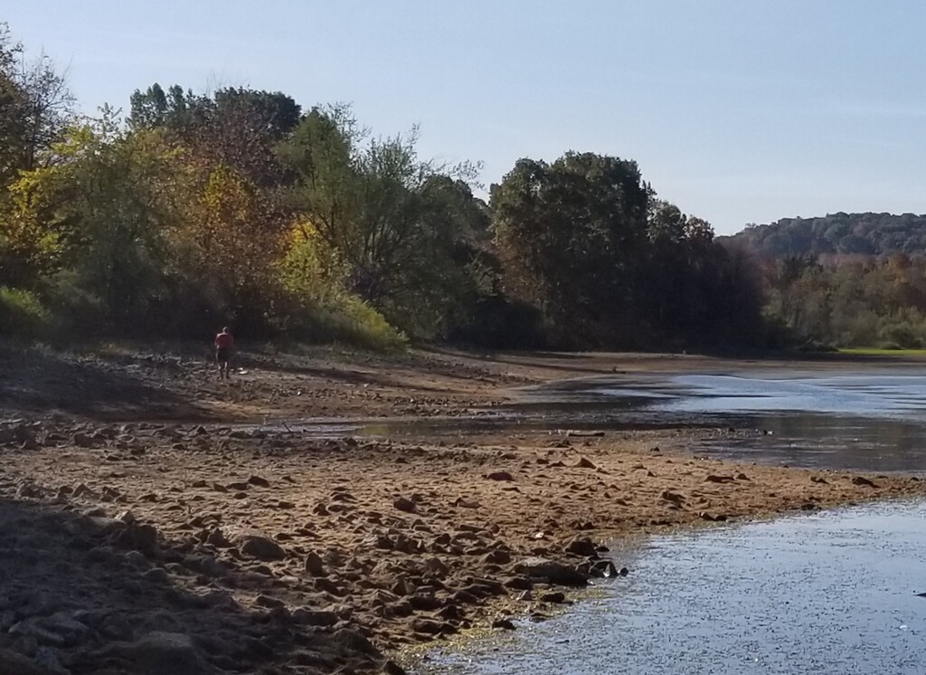
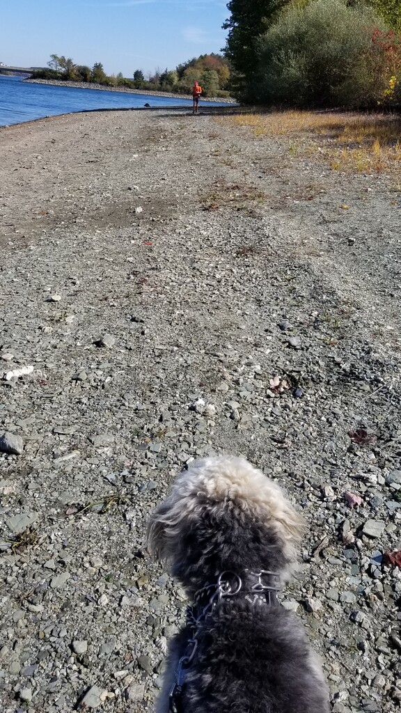
The purpose of this run was to run around the perimeter of Lake Marburg at Codorus State park. This route may not be possible when the lake is full. It is best run in the fall and winter when the water level drops. There are many transitions from shore line(exposed edge of the lake bed) to trail to road. Some of these are short scrambles to reach the next section.
Park info is at https://www.dcnr.pa.gov/StateParks/FindAPark/CodorusStatePark/Pages/default.aspx
I gave myself these guidelines in order.
- Run trails that follow closely to the water line when possible. These can be found from my route description below.
- Run the exposed shore line where there are no trails. This is also in the route description and my vary slightly based on were one scrambles to make the transitions.
- Last resort, run roads to navigate around the private property at the dam. Run roads where they are located on top of the shore line.
Start at Chapel cove parking lot off of route 216. Touch left fire circle. Run along parking lot, cross 216 and then Smith Station road. Cross grass to shore line.
Follow shore line clock wise around lake. Pass Smith Station boat launch, sail boat launch, and Hoff road boat launch. Continue on shore line.
Leave shore line at Smith point and take trail up hill to Hoff road. Right on Hoff, right on Porters road, right on Park road, right on Sinshime road. As you enter the park, turn right on horse trail. All of this to bypass private land at dam.
Follow horse trail along boundary of park and private land to lake near spillway. Follow horse trail, roughly parallel to lake, back to Sinshime road at Round Island parking lot. Cross Sinshime, follow horse trail along small cove. Leave horse trail and return to shore line back to Sinshime. Scramble up to road and cross to meet horse trail heading towards band shell. Follow shore line past band shell, main boat launch and around cove to point across from main launch. Follow horse trail from point to Sinshime road, do not cross and follow horse trail along Sinshime and then along shore line to 216. Scramble up to 216.
Left on 216 to parking lot at Marburg Flats. Follow shore line around flats back to 216. Left on 216 and then cross and return with scramble down to shore line. Follow shore line around point and back to 216. Cross and enter LaHo trail parking lot. Follow Laho around cove and back to 216. Cross and scramble down to shore line. Follow shore line to Marina and run sidewalk by boat docks. Return to shore line at boat ramp. Continue on past park boat house and to fishing pier parking lot at 216.
Cross 216 and scramble down to shore line and follow past Oar House, below swimming pool and camp ground. Just past campground boat launch cross flat and transition to Mary Ann Furnace trail. Follow trail until it takes hard left up hill. Turn right and return to shore line to Black Rock flats. Return to Mary Ann Furnace trail to Black Rock road. Right on Black Rock road and just after bridge scramble down to shore line.
Follow shore line to just below sledding hill. Cross stream and go to grass trail from sledding hill to 216. Right on 216 to first parking lot. Return to shore line and return to finish at fire pit at Chapel cove parking lot.
Comments
Time - 6:09
Supported run
Congrats Kev!