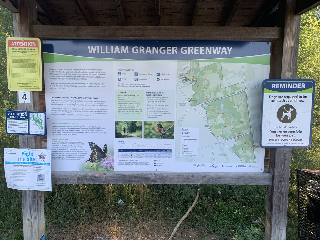
This trail is dedicated to Willian Granger, former Toronto Region & Conservation Authority (TRCA) Chair in recognition of his contributions to watershed management.
The William Granger Greenway is rich in stories of people who once moved across the land or stayed for generations, as identified by Indigenous and settler artifacts and settlements throughout this area. The most significant settlements are a series of large Iroquoian villages, up to five acres in size, including Seed-Barker and Skandatut dating to the 16th century. The 50km Toronto Carrying Place Trail is also thought to run through this area, and facilitated Indigenous transportation and settlement long before European Settlement
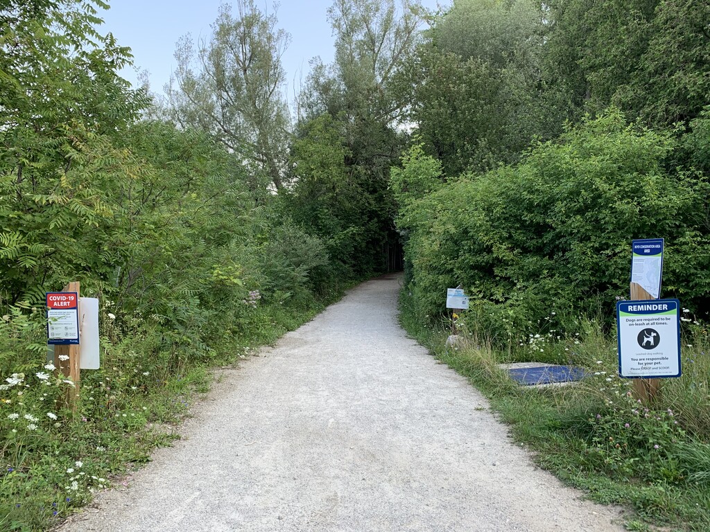
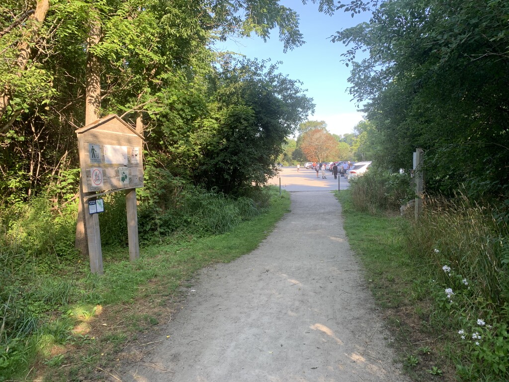
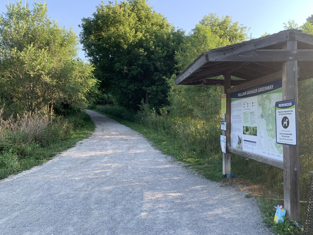
The trail begins approximately 1km south of Rutherford Road in the Boyd Conservation area (see pictures and the linked maps below to find appropriate signage and start right at those signs). North of Rutherford Road it crosses the Humber River and connects to Canada Company Avenue and continues north under Major Mackenzie Drive. North of Major Mackenzie you continue up to Bindertwine Park (step onto the asphalt of the parking lot as a turnaround point)
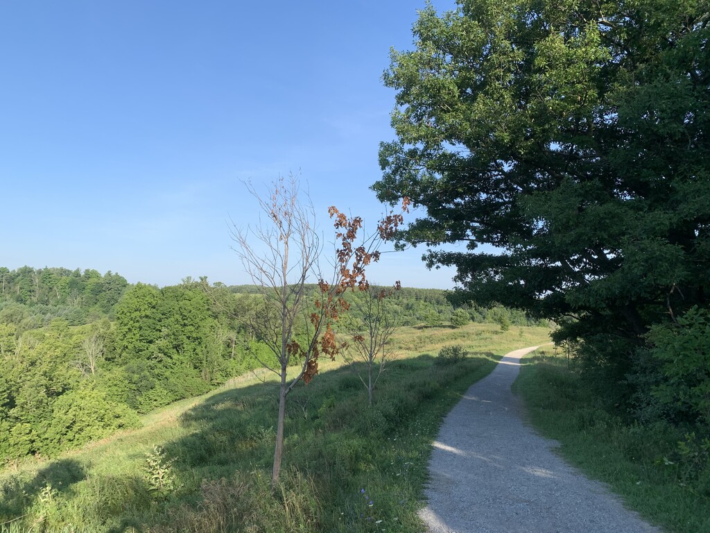
Along the trail you will experience several significant natural habitats, cultural and heritage resources, recreational and educational facilities. These attributes contributed to Humber River’s designation as a Canadian Heritage River in 1999.
Access Points: Boyd Conservation Area, Rutherford Road east of Islington Avenue, McMichael Art Collection, Stegman’s Mill Road and Islington Avenue at Canada Company Way.
Parking: Bindertwine Park, Rutherford Road, Al Palladini Community Centre, Foster Woods
Paid Parking: Boyd Conservation Area, Kortright Centre, McMichael Art Collection
Out and Back Distance: 12.91km (8.02 mi)
Elevation Gain: 133m (436ft)
TRCA Map:
https://s3-ca-central-1.amazonaws.com/trcaca/app/uploads/2020/05/05140311/2020-05-04_BoydNorthGlasscoPark.pdf
York Region Map:
https://www.york.ca/wps/wcm/connect/yorkpublic/f73e7332-b3f0-4f2e-a152-98a3c1c46d75/William+Granger.pdf?MOD=AJPERES
The information and description of the trail was sourced from some of the signage along the trail as well as the following website:
https://www.vaughan.ca/services/trails/General%20Documents/Humber%20Trail%20info%20sheet.pdf
Comments
I think I’ll give this one a go tomorrow. I’ve never been to this trail before, so we’ll see what happens.
Unfortunately, the trail was impassable. Wish I didn’t drive an hour to find out, but oh well. There is a sign that says trail closed from August until Jan 2021. There was a construction crew working around an overpass. It seems like people have went through on the weekend perhaps, but I wasn’t about to try and cross with the trail closed sign and also the crew there. Hopefully I’ll revisit this next year.
I just saw this comment now, thats a shame. They must have started the construction right after I made this in early August. Hopefully you can head back there and beat my slow time haha!