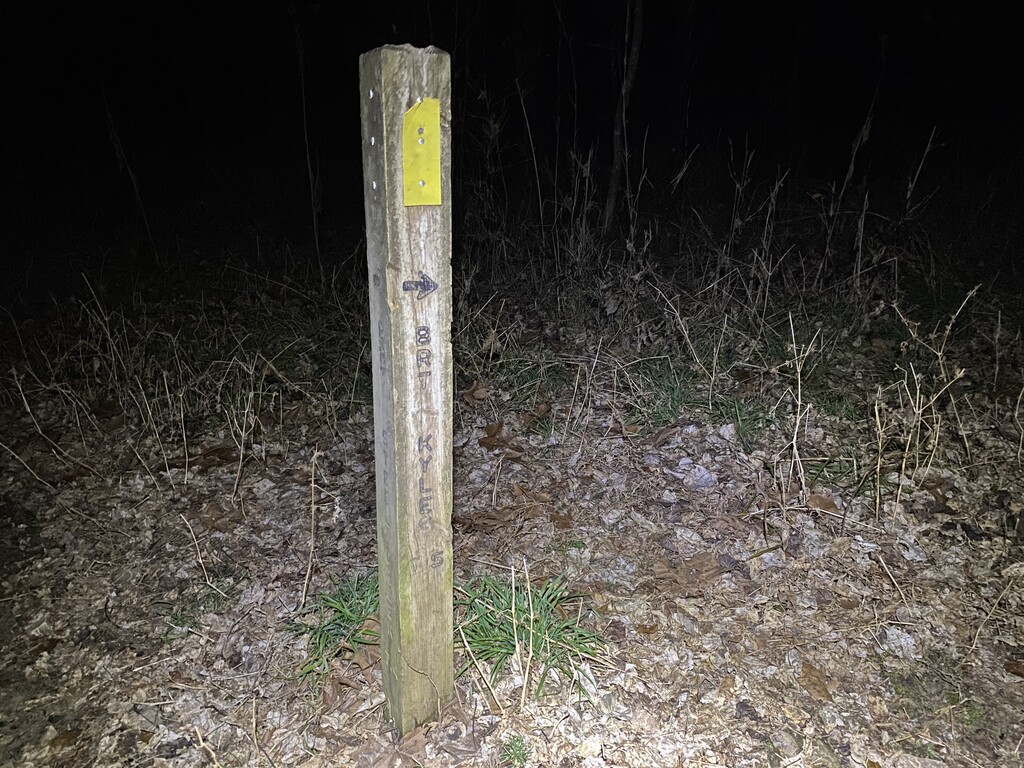


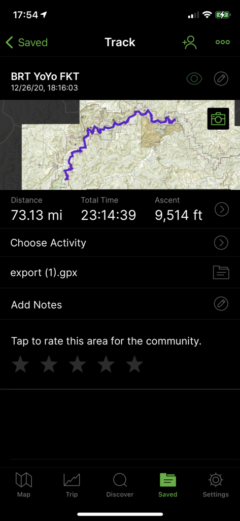
Buffalo River Trail Yo-Yo Fastest Known Time
Trip Report
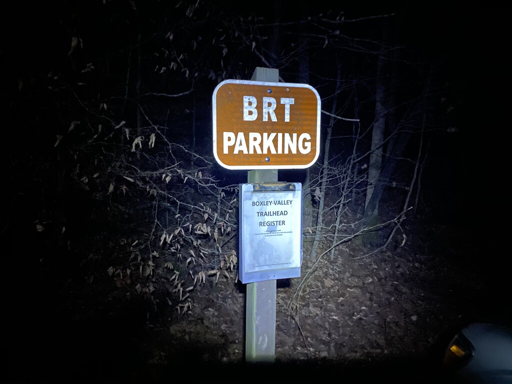
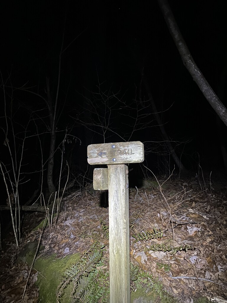
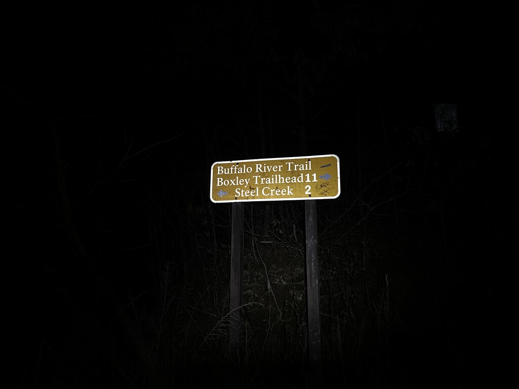
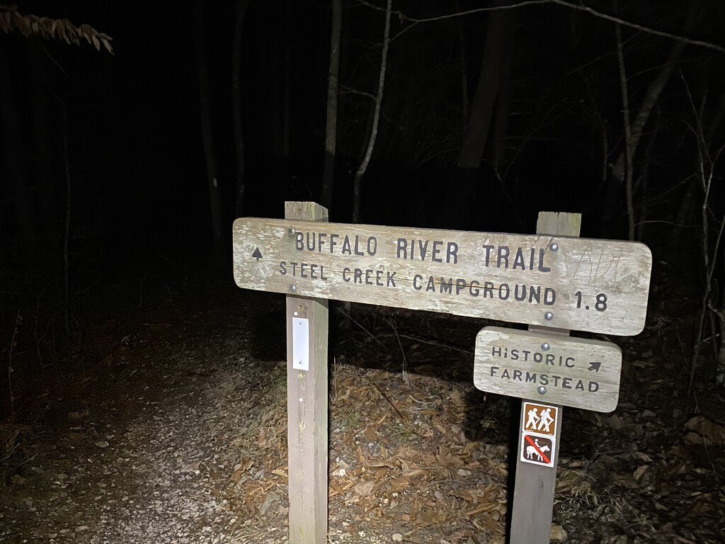
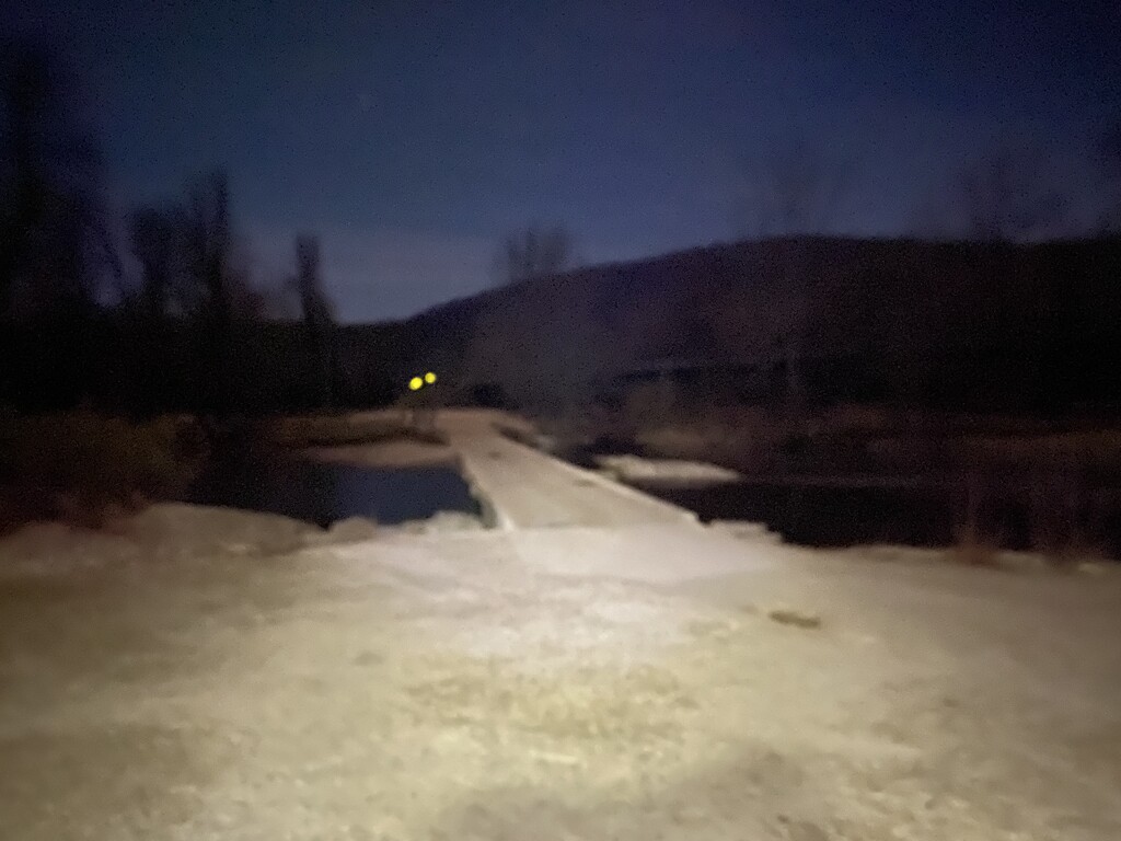
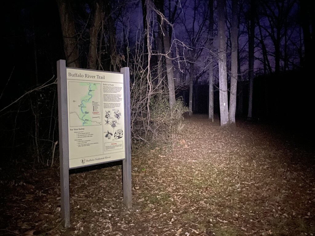
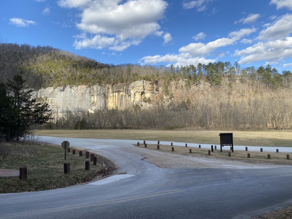
I pulled up to the western terminus of the Buffalo River Trail at the Boxley Trailhead just before 6pm on Saturday, December 26th. I got my things together and got started around 6:20pm. The moon blasted light into the dark forest as I strode into my first of many hill repeats that lay ahead of me. The temperature was just right, somewhere in the 40’s with a gentle breeze that continued throughout the night. Around mile 3.5 I dropped into Arrington Creek where a few backpackers made comments about how I was a beast to still be hiking through the night. Little did they know that I was just getting started. At mile 8.2, Running Creek, I had to work my way around a hammock camper that decided to hang their hammock across the trail for the evening. At 9:45pm I reached the low water bridge at Ponca, mile 11, and I could tell that my training was really paying off. I just hoped I would be able to sustain for the next 60+ miles.
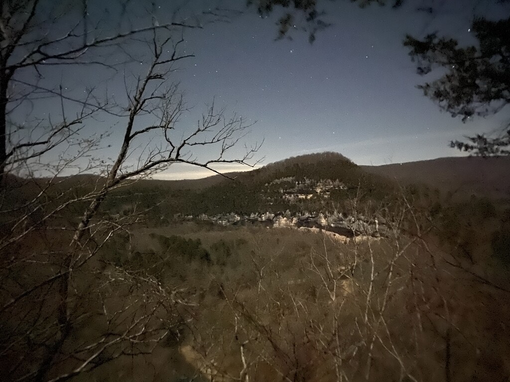
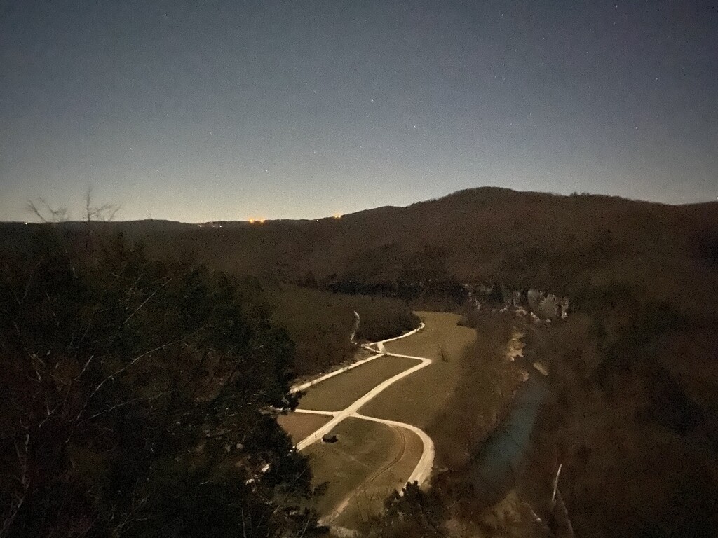
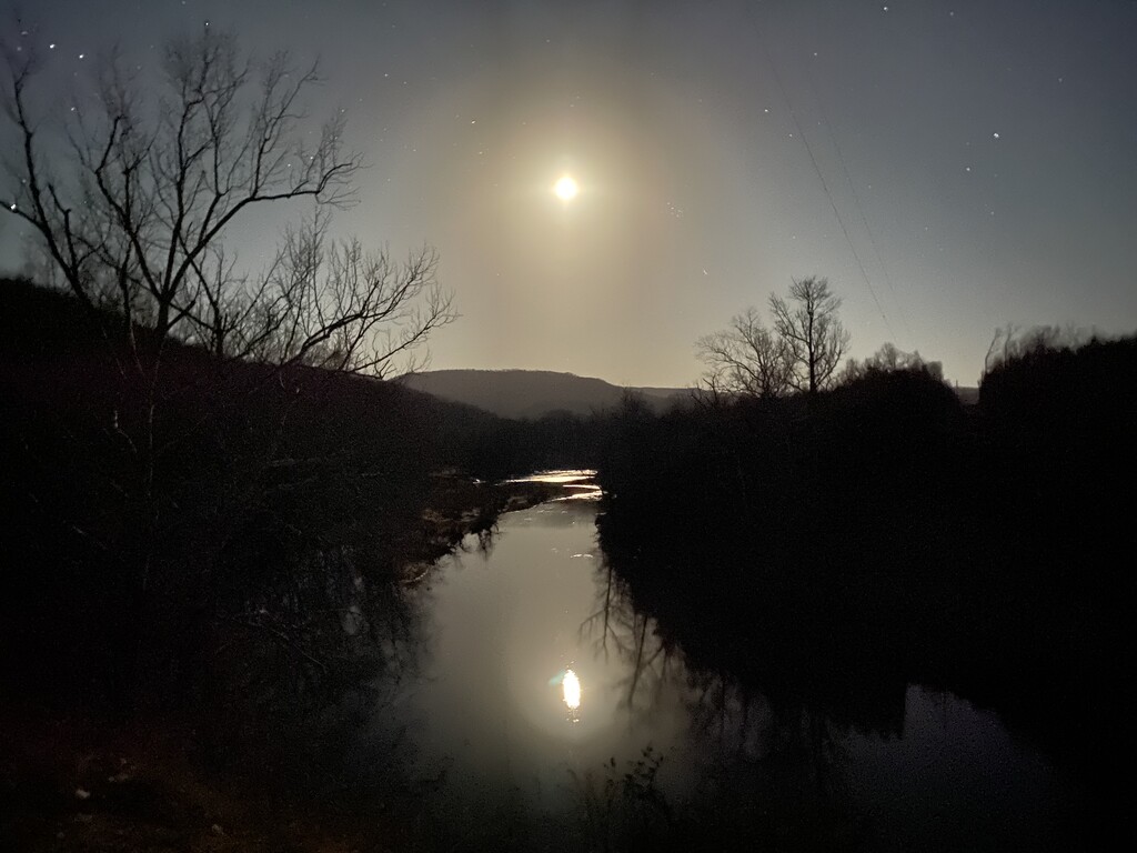
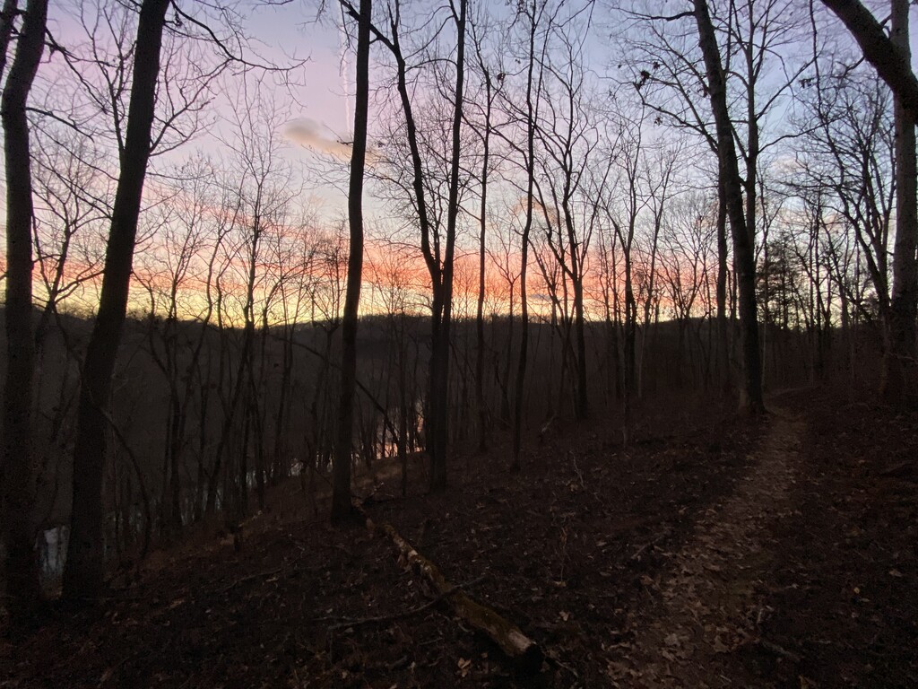
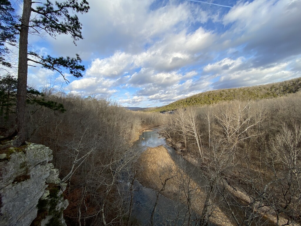
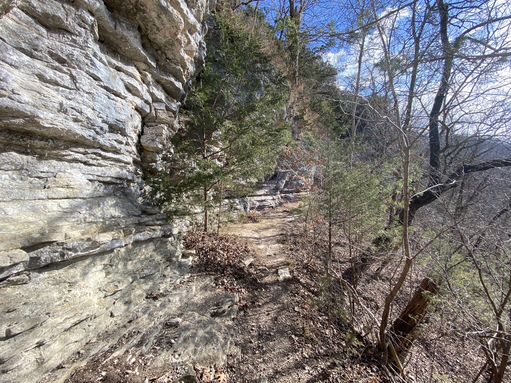
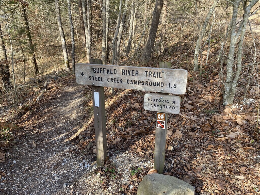
After strolling along above and below the bluff lines between Ponca and Steel Creek, I reached Steel Creek Campground, mile 12.8, just before 10:30pm and campers were still up conversing around campfires. One person shined a blindingly bright light up the hill at me as I passed by. I guess they couldn’t figure out why there was a floating headlamp moving at a jogger’s pace through the dark woods. At 10:56pm I reached one of my favorite spots on the trail, the Steel Creek Overlook, mile 14.6, and snapped some nighttime photos with my iPhone. After a couple more brutal climbs and descents, most notably the climb up and over the shoulder of Kilgore Mountain through The Slatey Place, I reached the trail junction for Kyles Landing, mile 20.9, at around 12:55am and was still feeling strong and moving well.
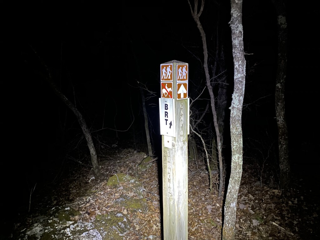
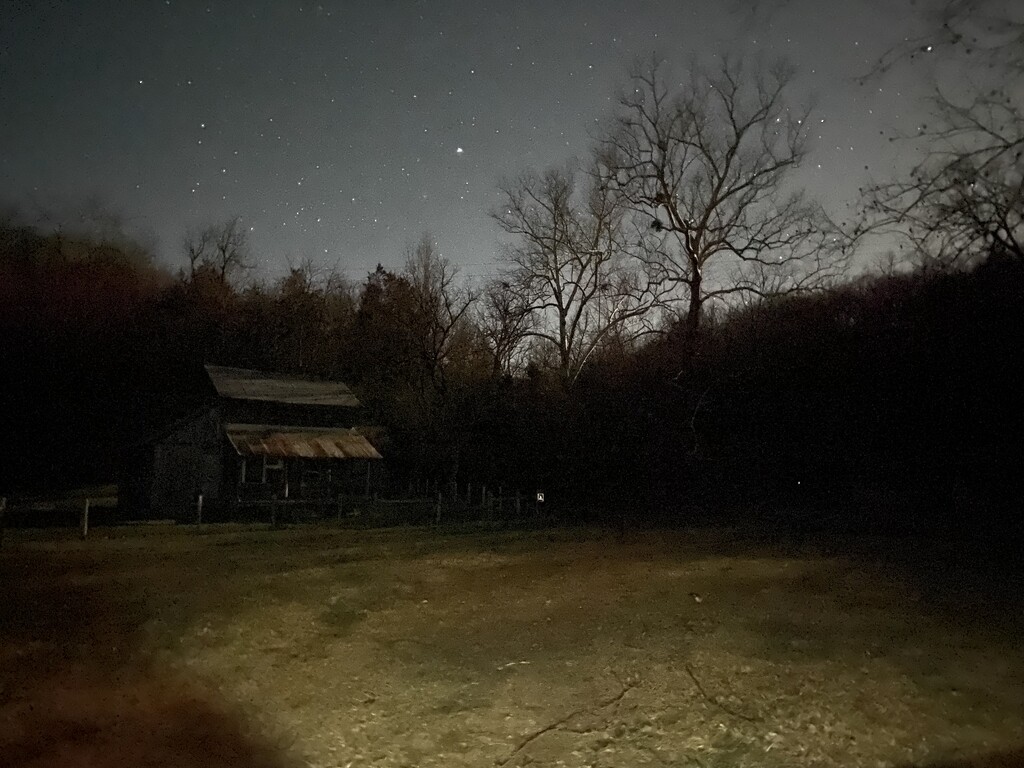
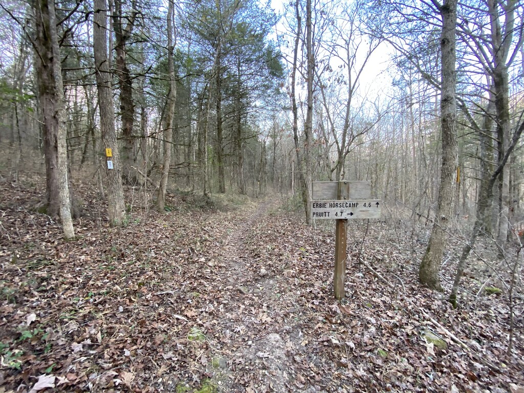
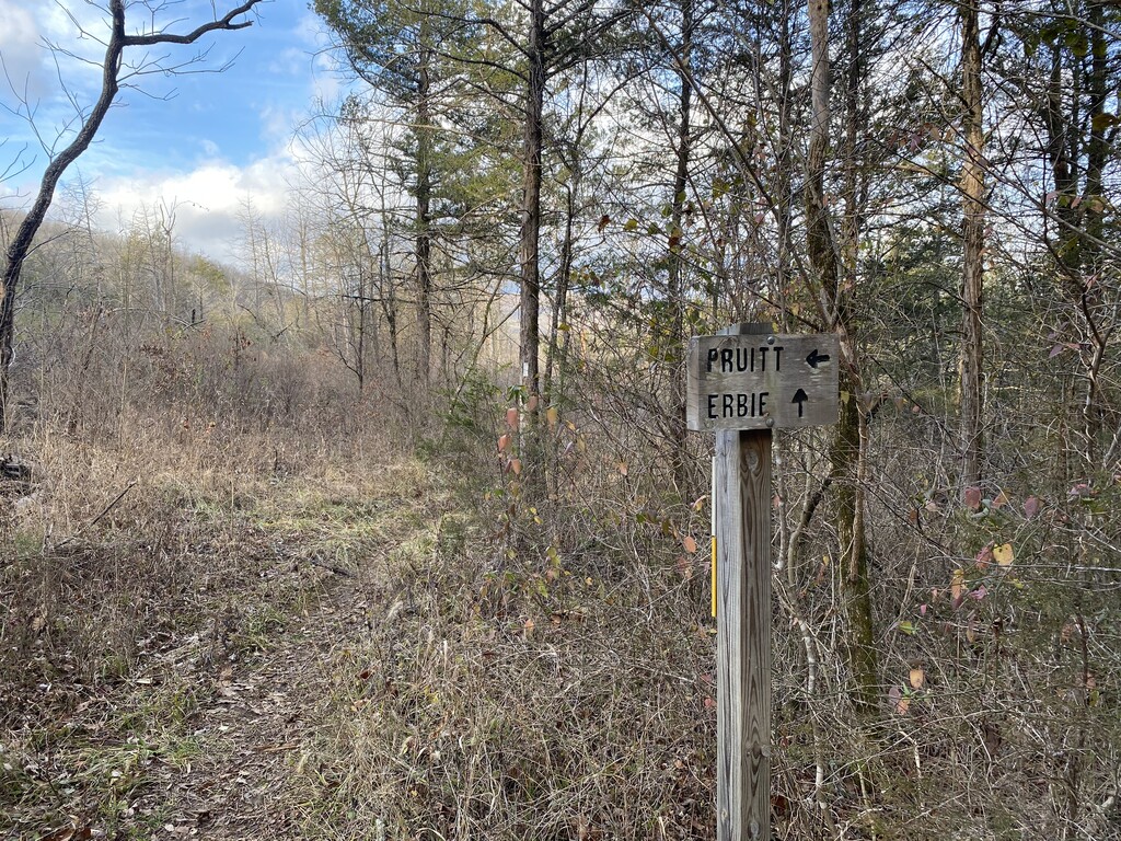
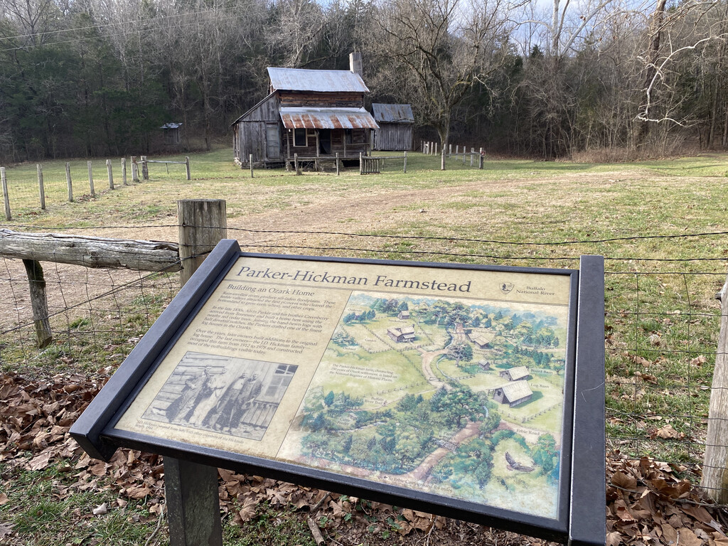
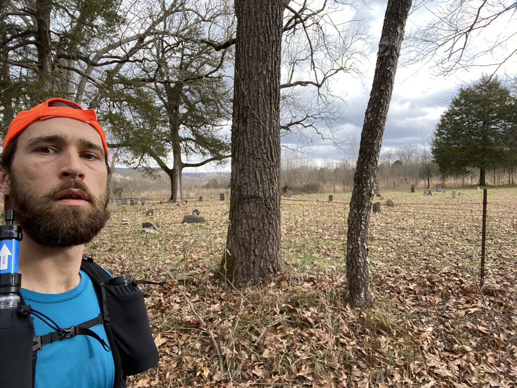
The trail mellows out a bit after the climb up and over the Kyles Landing Road, mile 21.8. Still plenty of hills ahead, but they are shorter and for the most part less steep. I came to the junction for Camp Orr at 1:45am and could hear the roar of Twin Falls downstream as I moved down to and across Shop Creek, mile 23.2. I breezed through the next few miles on more level terrain all the way to Dirt Road 79 and Cherry Grove Cemetery, miles 26.1 and 26.2 respectively. At 2:48am I stopped just to snap a photo of the Cherry Grove Cemetery and pushed on. At around 3:10am I reached the old Parker-Hickman Homestead, mile 27.4, and stepped up onto the porch to peer out at the night as though this were my homestead and I was stepping out for a second to admire the nightscape of stars and the nearly full moon.
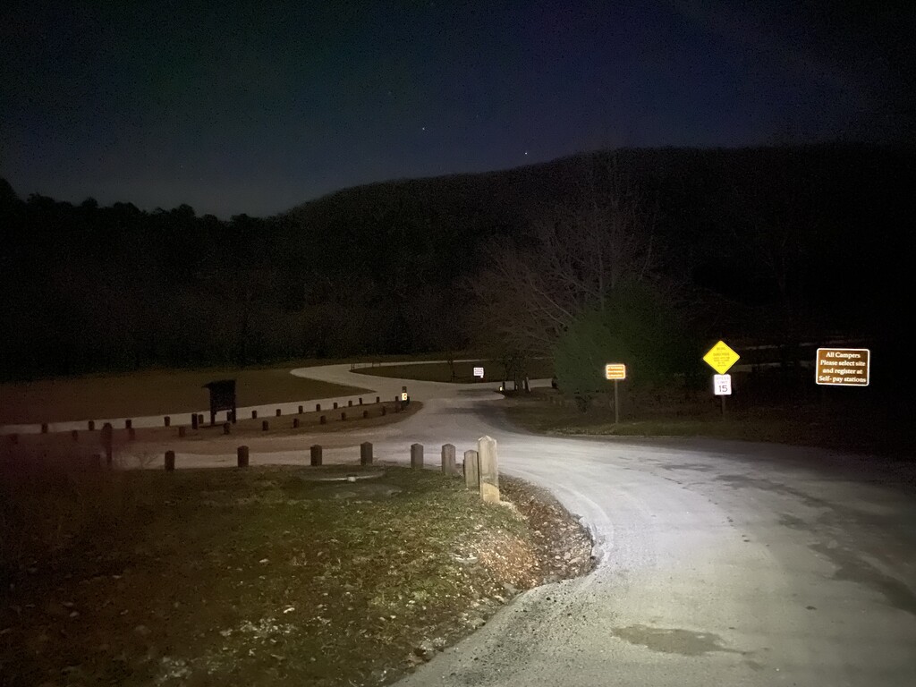
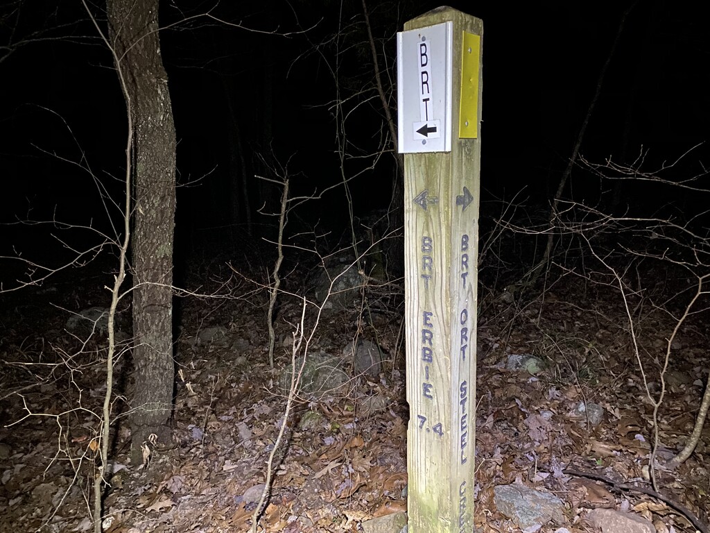
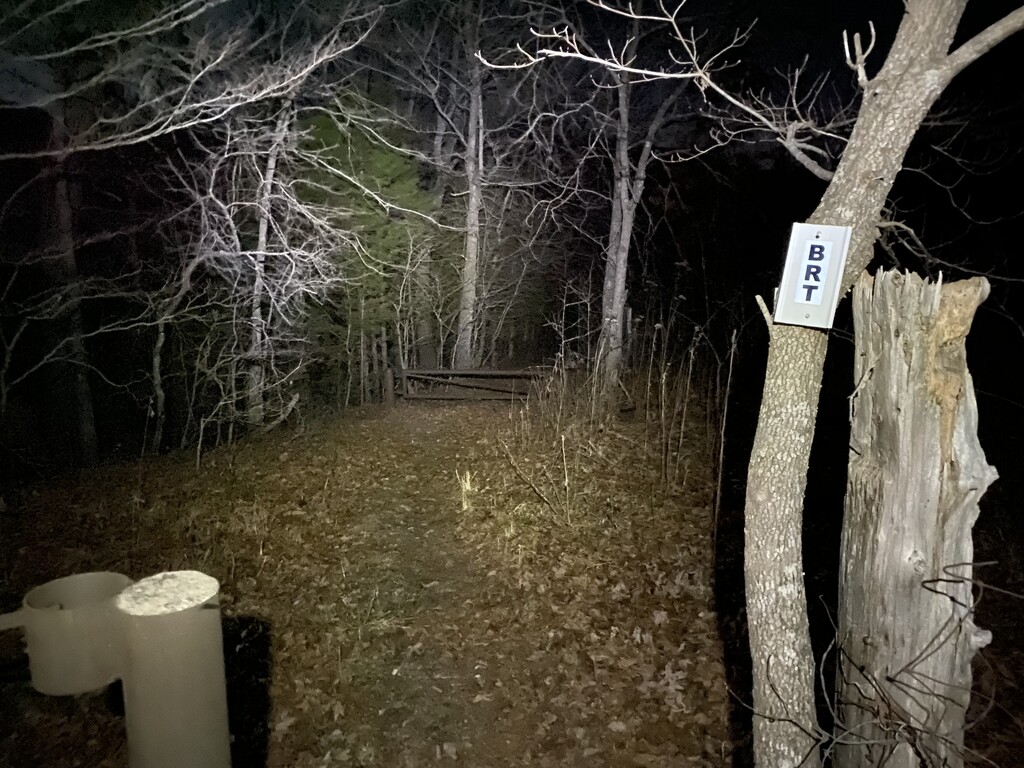
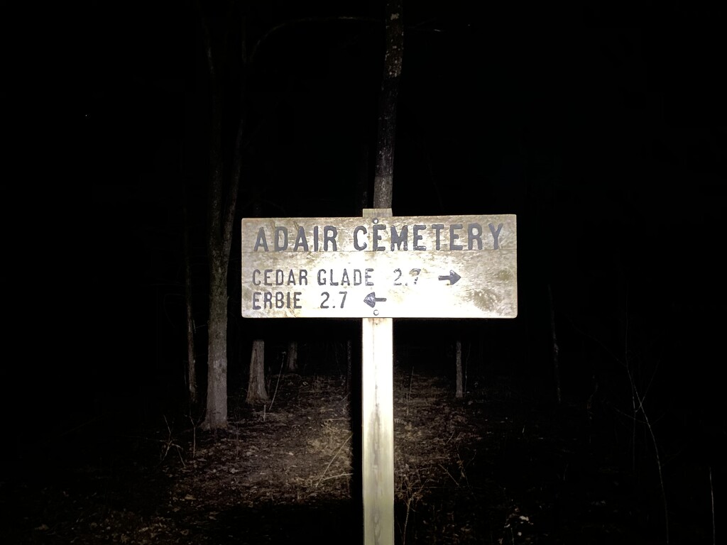
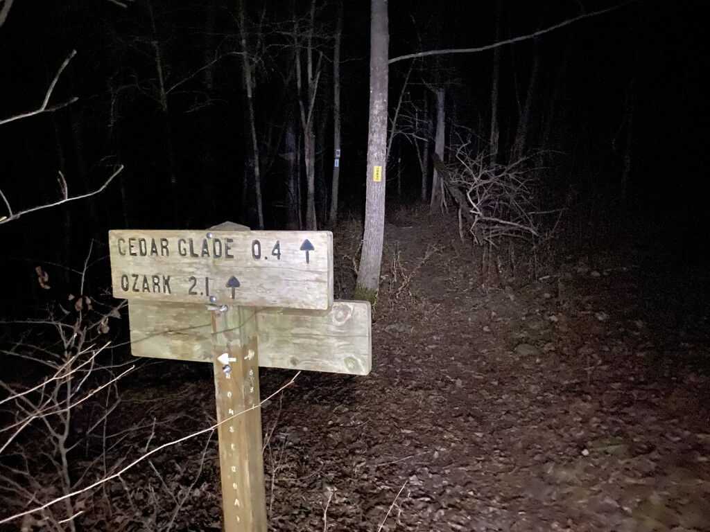
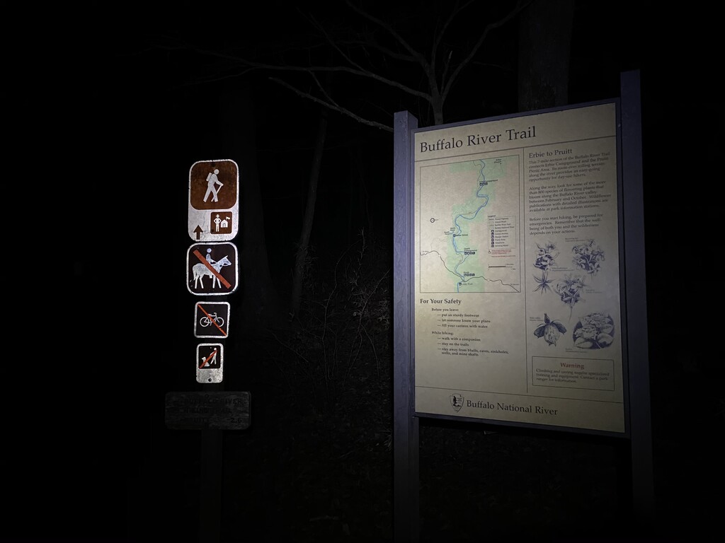
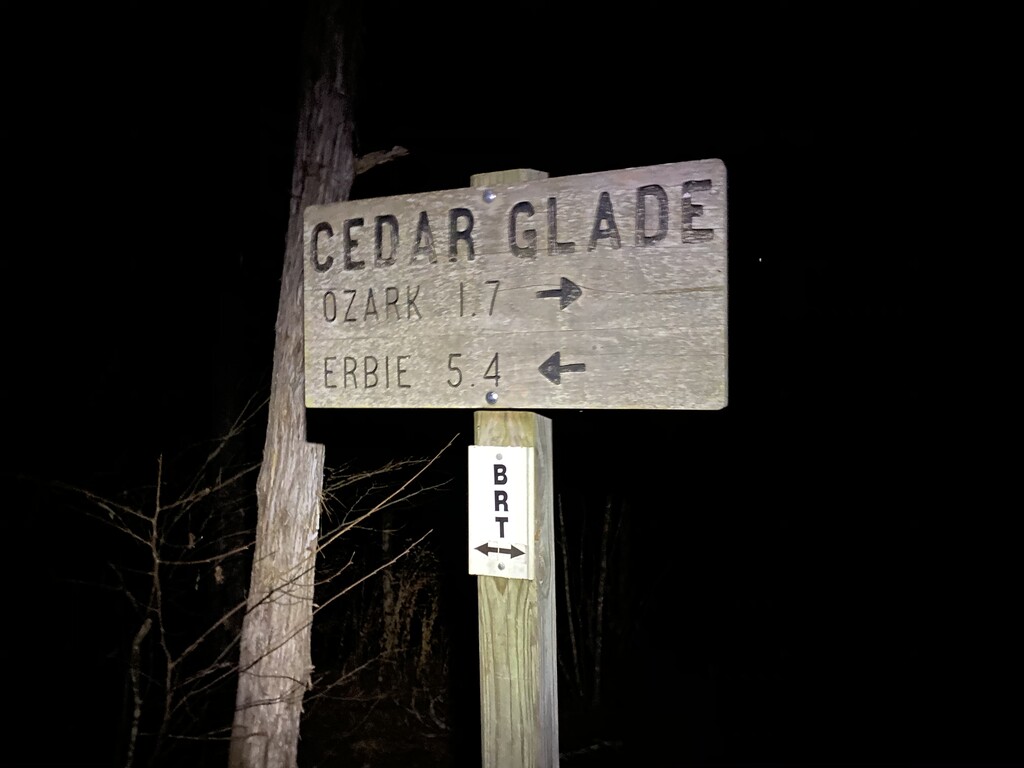
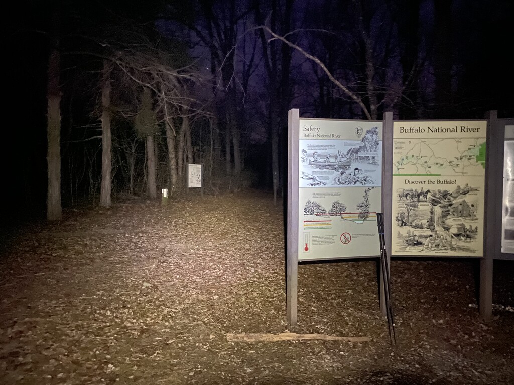
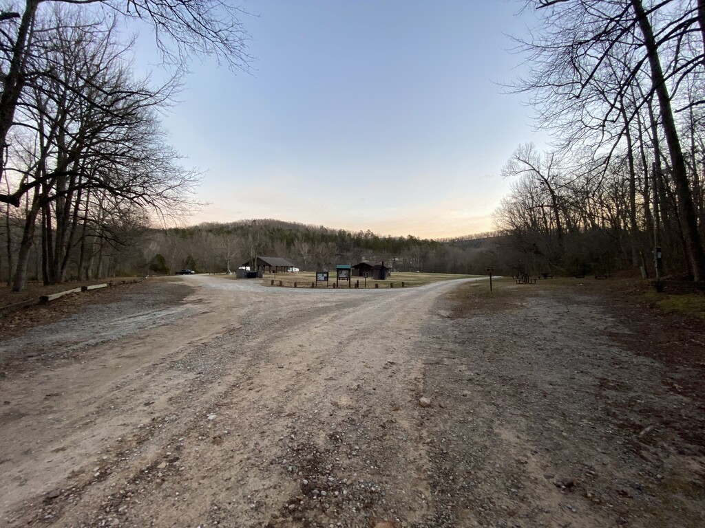
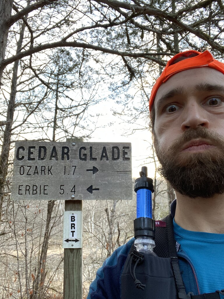
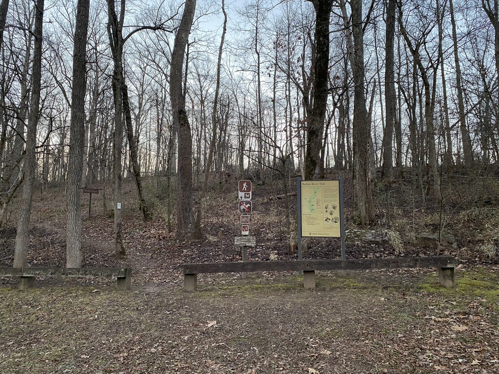
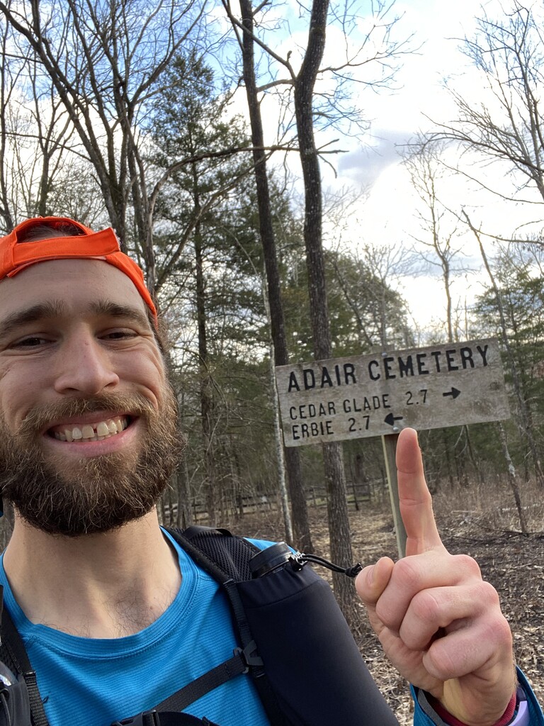
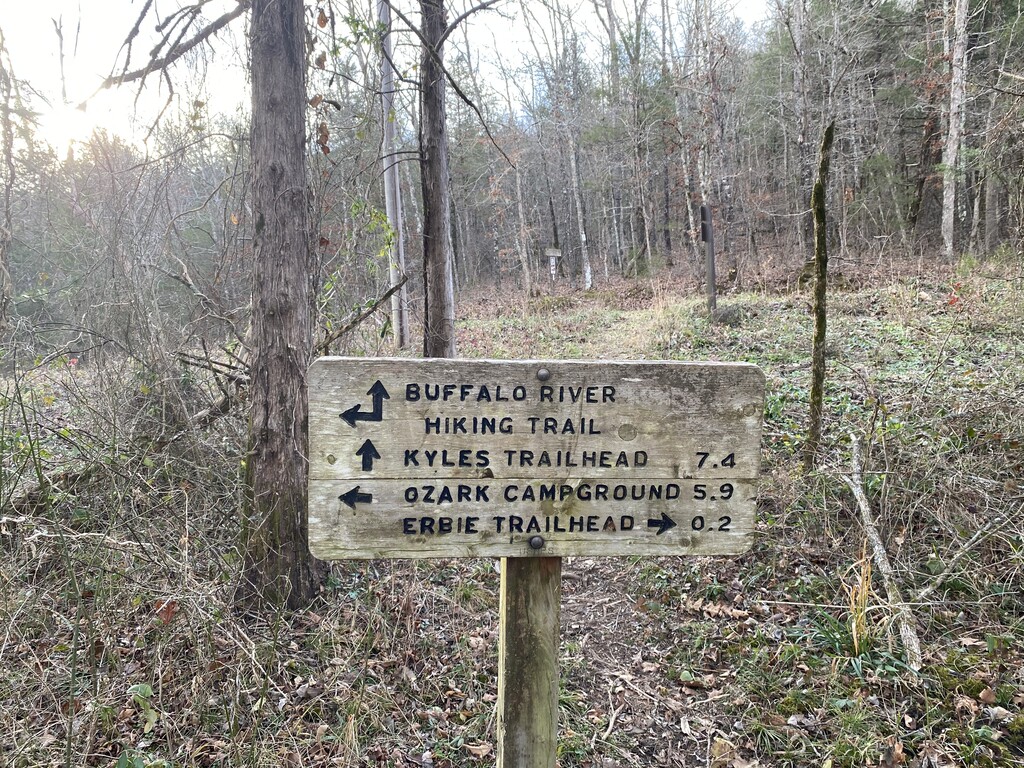
By 4:09am I had passed the Erbie Horse Camp junction, mile 28.7, and had reached the Adair Cemetery, mile 30.7. At this point things were looking pretty good for a 12-hour turnaround. Though the time set for the standing record was not an extremely fast time to beat, I really wanted to complete my attempt in less that 24 hours. This realization, along with a Starbucks via, lit a fire under me and I trudged onward. At 5:09am I reached Cedar Glade, mile 33.1, and decided to sit down for the first time and change my socks. Standing up again was probably the most difficult thing I had faced thus far, but I managed to ascend to my feet and waddle my way back onto the trail. I strolled into Ozark Campground, mile 35.1, around 5:38am and snapped some photos of the signs. I pressed on and at 6:27am, 12 hours and 13 minutes after I began this thing, I reached the east terminus of the Buffalo River Trail at Pruitt, mile 37.1, and my journeys halfway point. I made my way to the bathrooms to relieve myself only to pull on a locked door and read a “Sorry, but COVID” sign. After a brief stop in the bush, just as light began to break the night, I turned westward and ran back into the wild.
At around 7:05am the sky began to flush with color from the rising sun. I was quite surprised to still be moving so well. I felt good and was excited about the arduous task ahead. I passed back through Ozark Campground at 7:21am and reached Cedar Glade at 7:49am. I reached Sawmill Hollow at 8:18am and snapped a photo of the huge culvert that the creek flows through. By 8:40am I had reached Adair Cemetery again and was taking advantage of the gentle grade as I jogged joyfully down the trail. I passed the spur to Erbie Campground at 9:11am and reached Parker-Hickman homestead at 9:26am where I plopped down on the porch to massage my right hamstring. After about 45 miles of running and power hiking I was beginning to feel the pain that I had been running towards since about 6:20 the previous night.
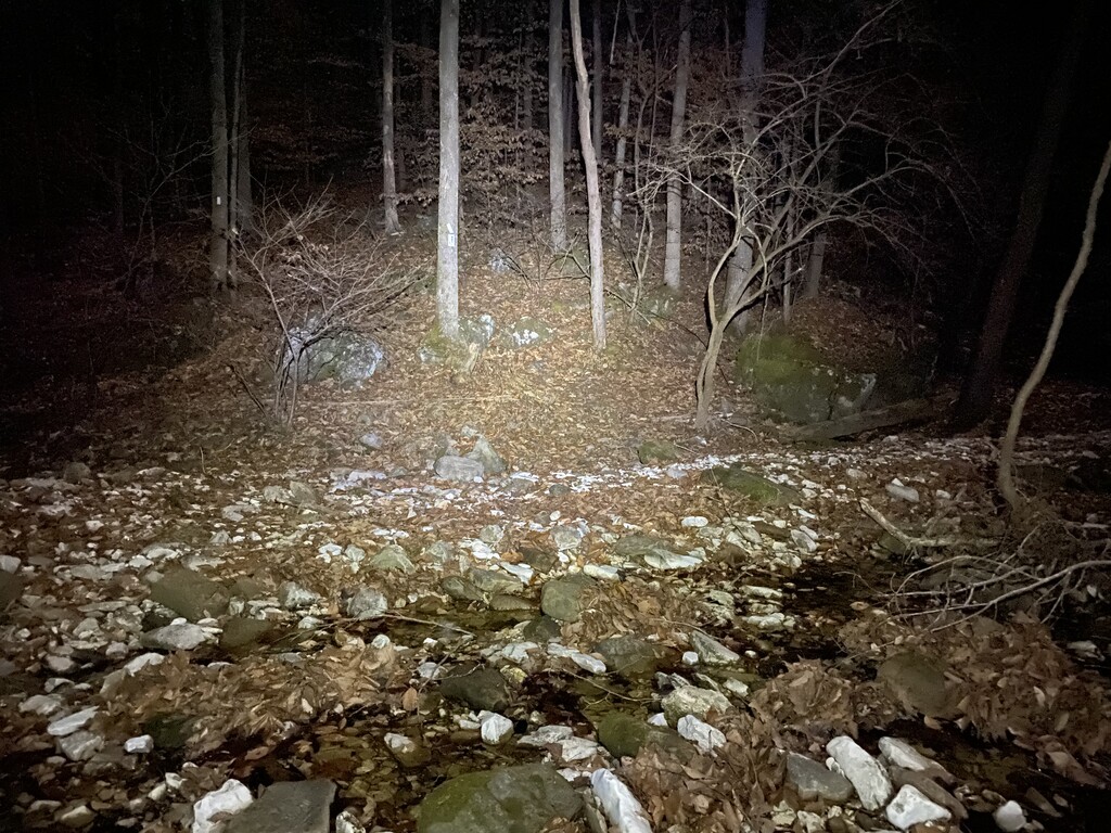
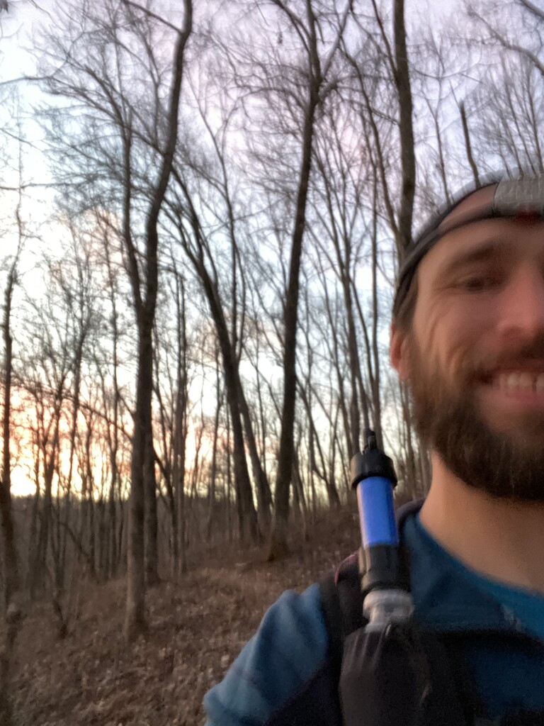
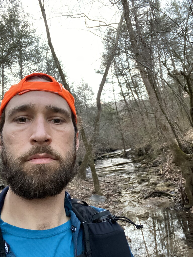
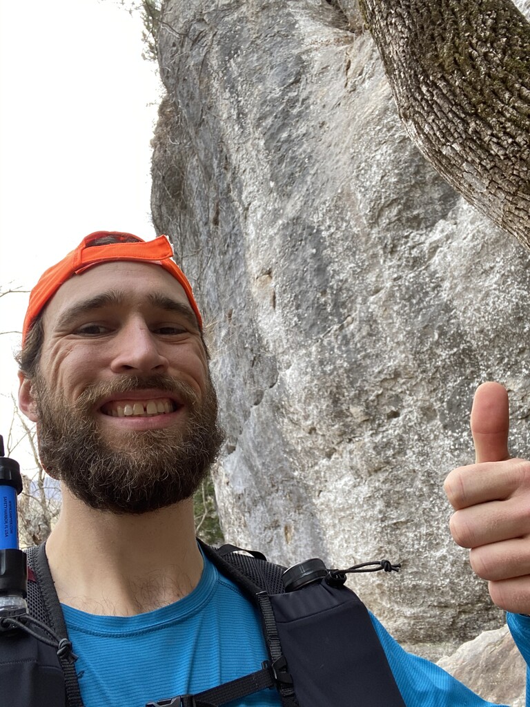
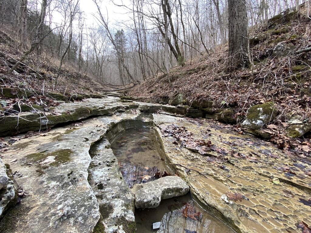
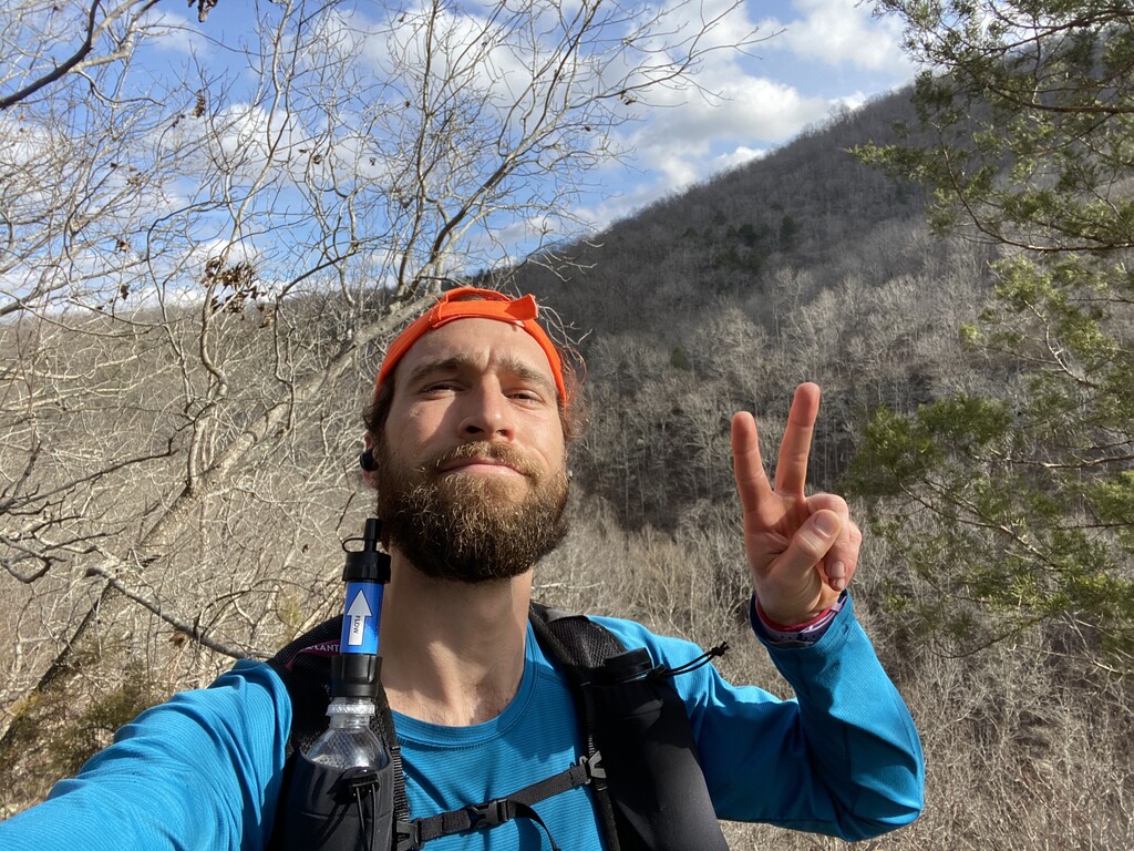
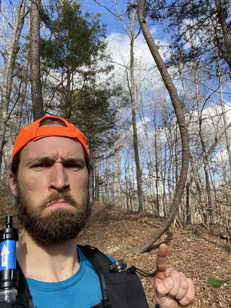
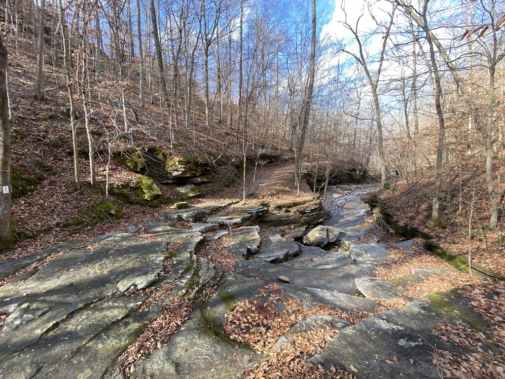
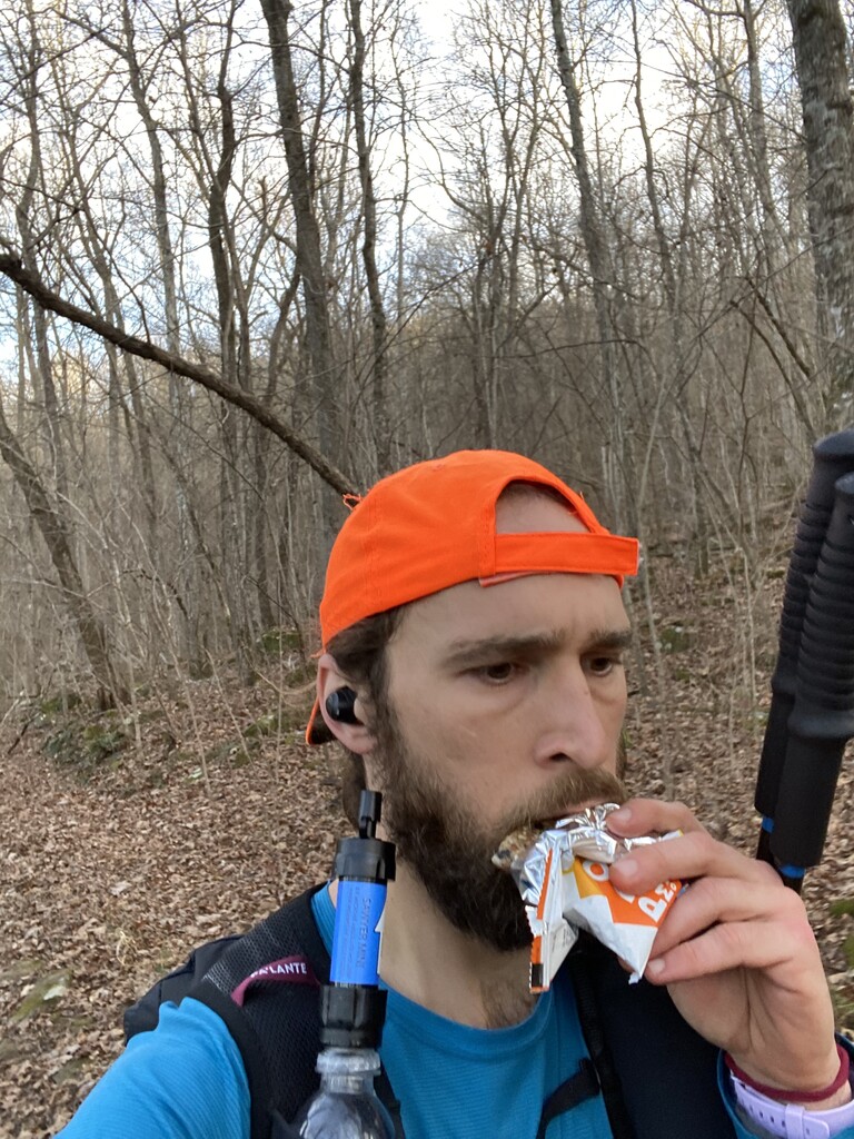
After about a 10-minute break and snapping a timed photo of myself in the front yard, I got moving again. I passed back by the Cherry Grove Cemetery at 9:50am and was beginning to dread the massive hill climbs that stood looming about 5 miles away. At 10:51am I snapped another photo of the Camp Orr Spur sign and was on my way back into the big hills. I boogied past day hikers as I passed through the Kyles Landing area and at 11:40am I stopped at the Indian Creek Overlook for a quick selfie. At this point I was just over 50 miles in and just getting started on the biggest damn climb on the whole trail, the climb from Kyles Landing up to The Slatey Place. On the opposite side of The Slatey Place my knees screamed as I made my way down into Beech Creek, roughly mile 57, where at 12:44pm I snapped a wide-angle photo of this stunning creek bed. At 1:02pm I took a daytime photo of Big Bluff so I could compare it to my nighttime photo that I had taken just over 13 hours before. As I was plodding down the hill to the Steel Creek Overlook a lady stepped to the side of the trail to allow me to pass and said to me, “you must be the guy going for the FKT.” I said “yep, that’s me,” but thought, “how the hell does she know I’m going for the FKT?” I later realized that I had written my intentions in the Boxley Trailhead registration, duh.
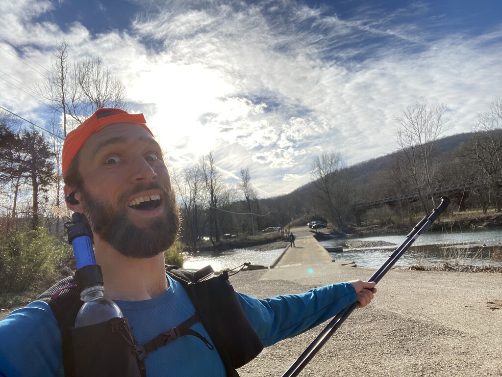
At 1:24pm I arrived at the Steel Creek Overlook, my favorite, and snapped a couple of photos as I smiled, humbled and grateful for what I had accomplished so far and for the absolutely beautiful day that nature was blessing me with. On my way down to Steel Creek a man asked in passing if I was running the whole trail. I said, “Yea, twice! I’m going for the FKT and I’m getting pretty close!” He shouted as I ran down the hill, “about 15 miles left, good luck and have fun!” I hit the road into Steel Creek Campground about 30 minutes later at straight up 2:00pm and at 2:09pm I was standing at the base of the steep climb up and out of the campground. At this point I was counting down the big hill climbs that I had left before the end of the trail, only 4 more to go. I ran along the bluffs above the Buffalo and by 2:33pm I was back to the low water bridge at Ponca, about mile 63. All that remained from this point was an 11 mile stretch of the most rugged and remote area along the trail and it started with a brutal climb up a rocky old road that runs steeply up a spine created by two converging bodies of flowing water, the Buffalo River and Leatherwood Creek.
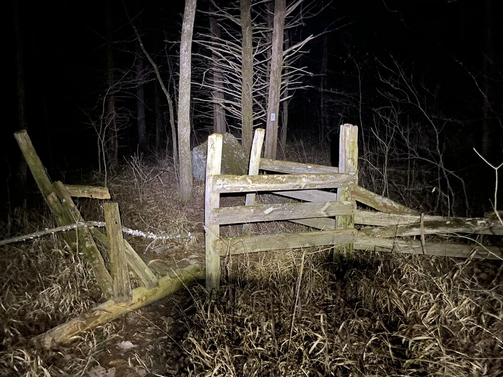
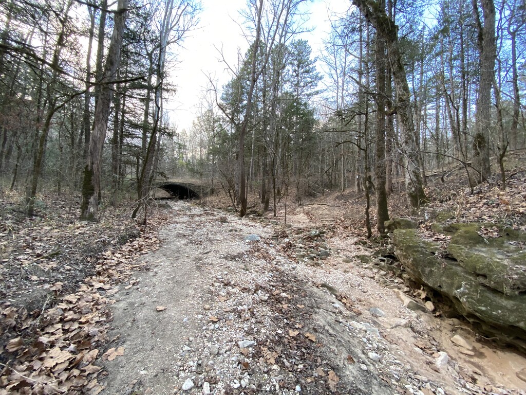
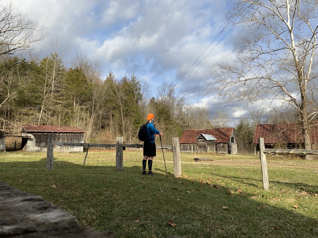
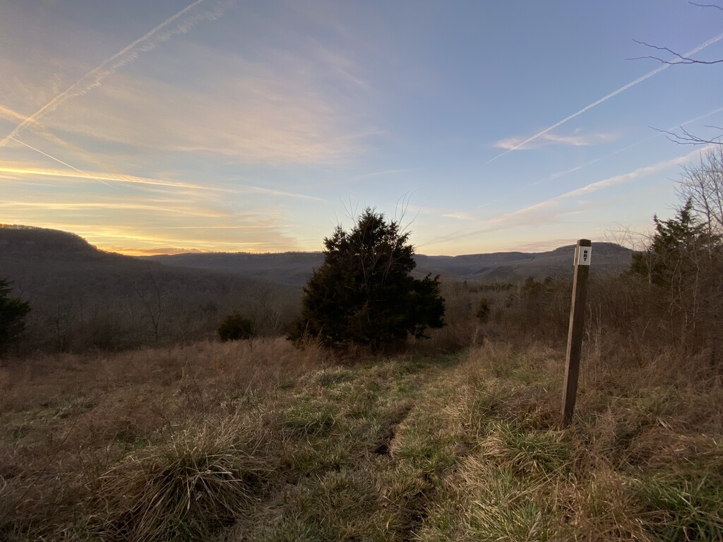
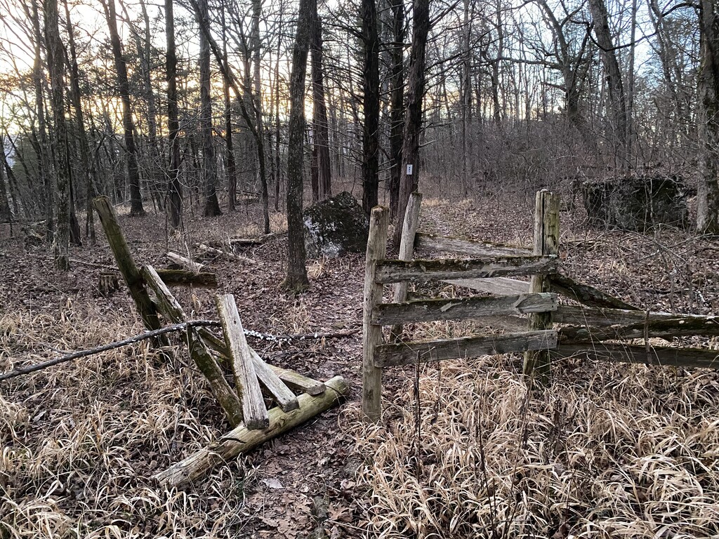
At the top I snapped a selfie at 2:49pm by the cave entrance just off the side of the trail. Though rough and rugged, the last 11 miles of the run had a significant amount of relatively flat ground and I, surprisingly, was still able to run, so I popped in the headphones, cranked some Daft Punk, put my head down and ran! I reached the field above Walker Mountain Road, around mile 72, just after 5:00pm, another one of my favorite spots on the trail, and snapped a photo of the evening sky at 5:09pm. At 5:17pm I reached the cool fence that the trail passes through and knew that I had only 1 downhill mile left to get back to the trailhead and to complete this extravagant endeavor. I knew at that point for certain that I would accomplish my goal of completing this FKT in less than 24 hours.
As I plunged my aching feet into the cold waters of Smith Creek I pulled out my phone so that I could stop my GAIA GPS tracker as soon as I hit the parking lot on the other side of Highway 21. Smiling ear to ear I ran with soggy shoes into the Boxley Trailhead parking lot and hit “finish track” on my phone. My heart stopped for a second as my phone froze and I just knew that everything was going to be lost forever… then my phone woke back up and I saved the GPX immediately! I wobbled around the parking lot for a minute with admiration for myself before I set up my headlamp and timer on my phone to snap one final photo. At 5:41pm I stood, drenched in sweat and completely exhausted, at the back of my truck while my phone captured its final image of the journey, and then I got in my truck and drove home. In the end there were no high-fives, no ceremony, no congratulations, no nothing… just an immense sense of pride, strength and accomplishment… and that was all I needed.
Comments
That lady who asked about the FKT was me. I didn't know you were going for it, I just said that offhand!
Well done and congratulations!