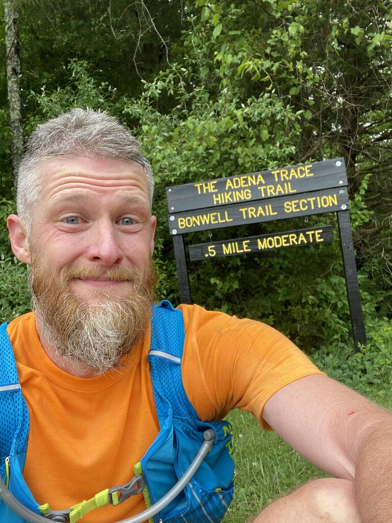
On Saturday May 29, 2021 I attempted, for the second time, to set a new FKT for the Adena Trace Loop Trail in Brookville, Indiana. My first attempt did not go as planned as I Completed the loop but ran a 3 mile section that was not part of the original FKT route.
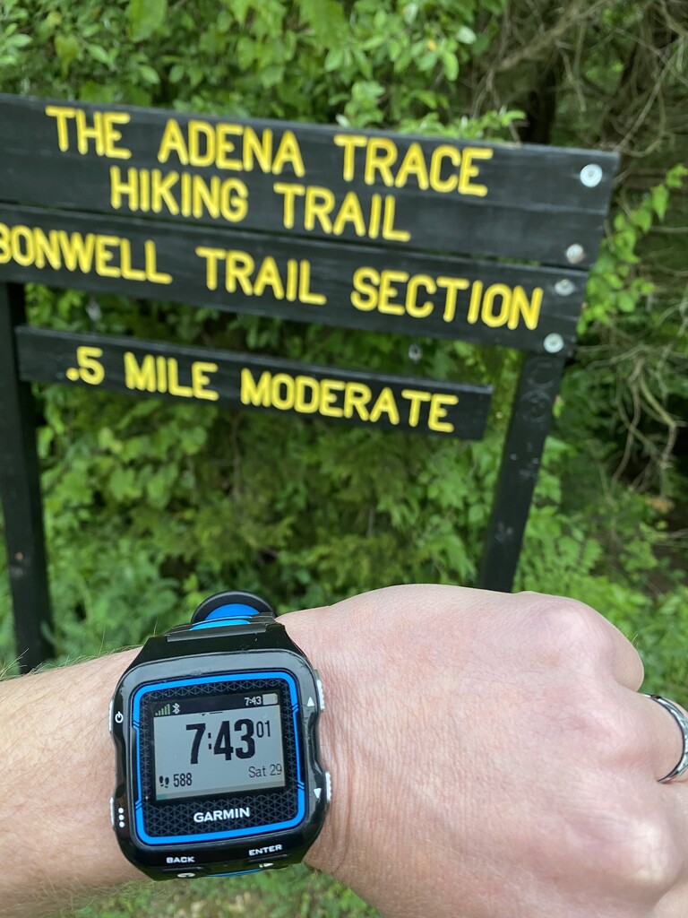
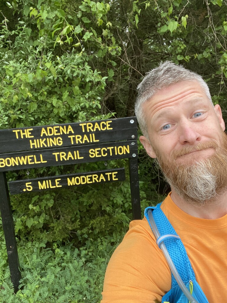
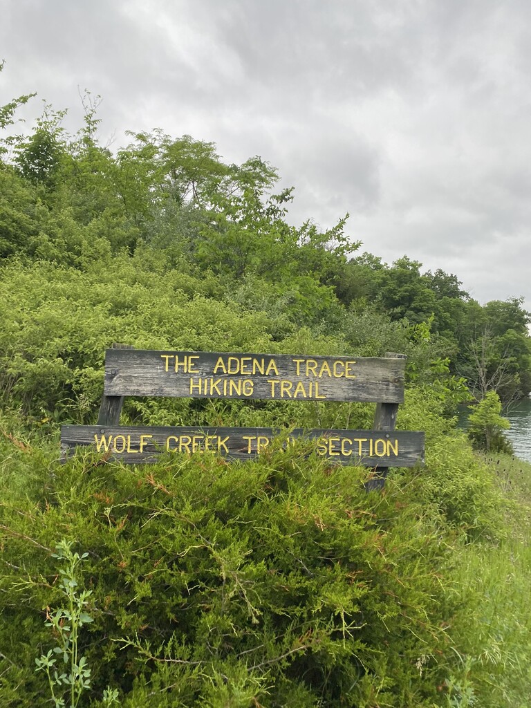
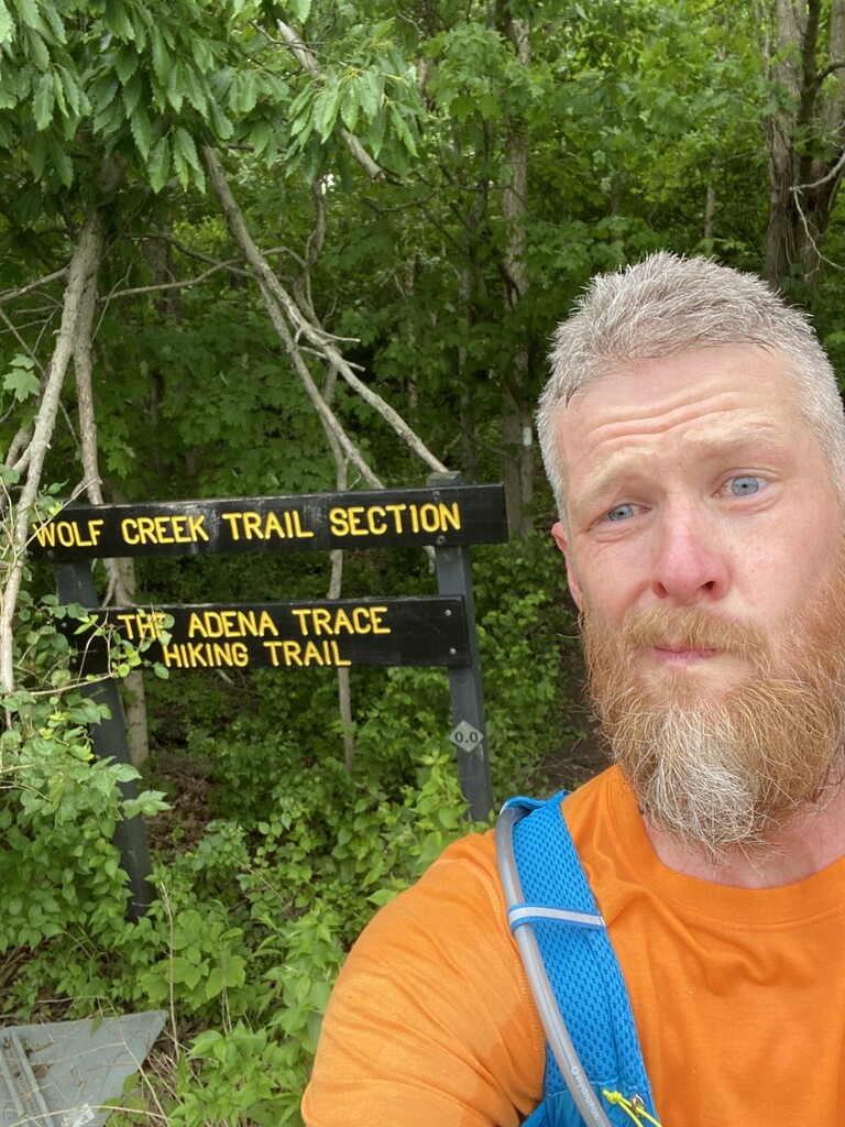
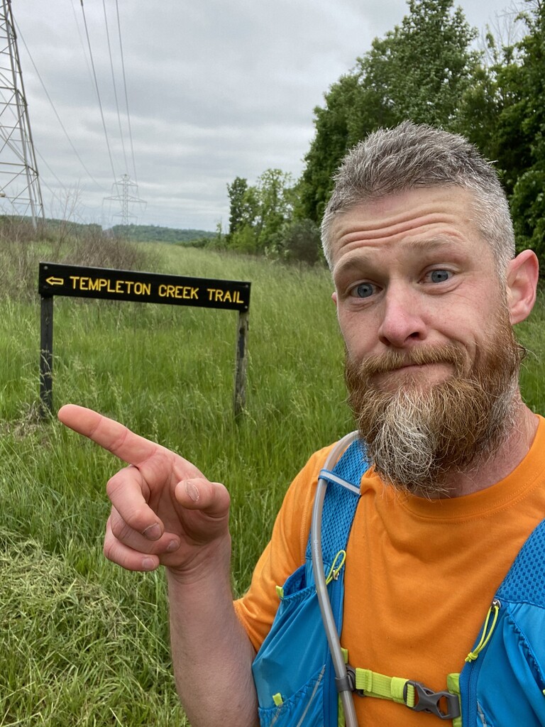
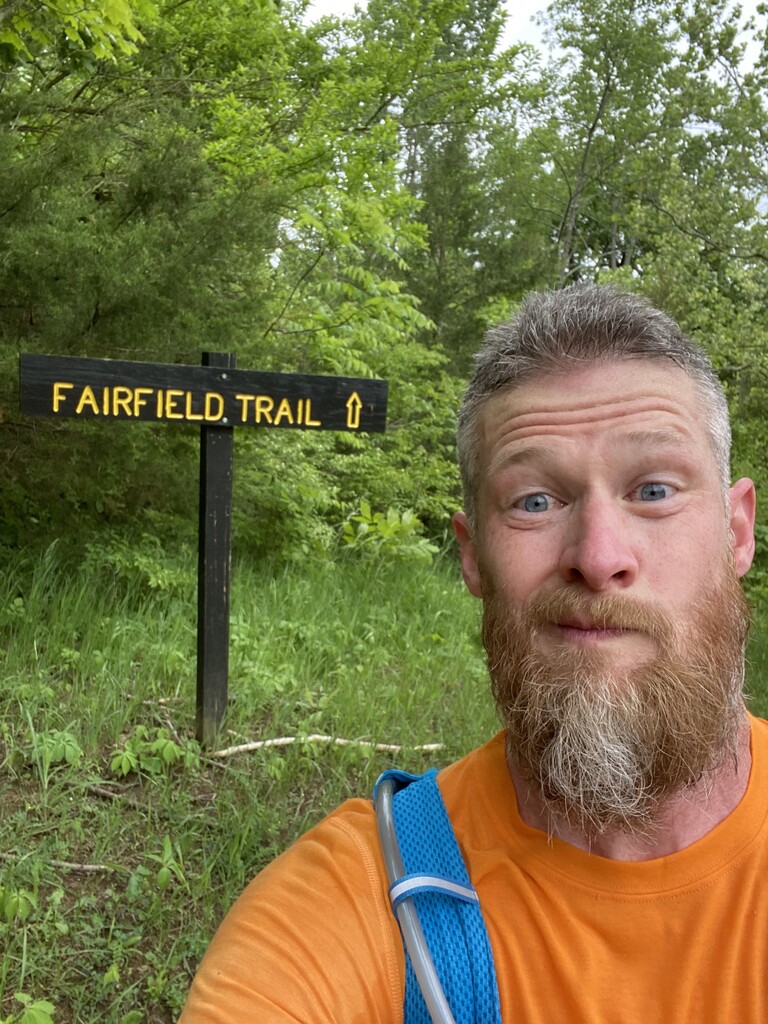
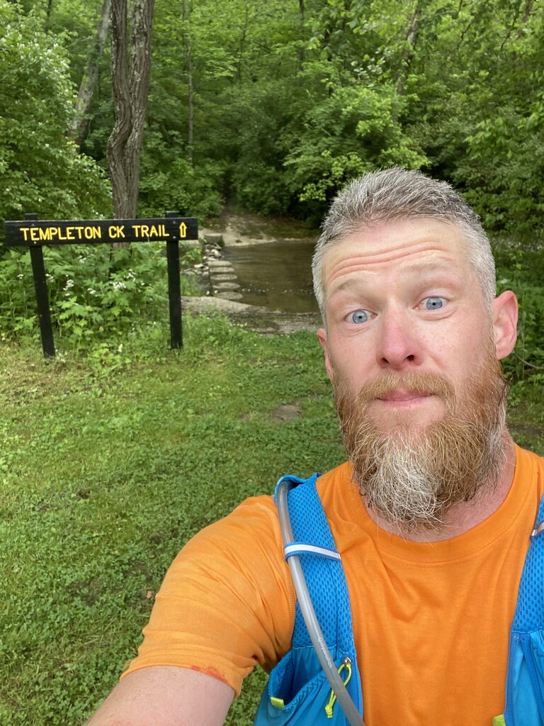
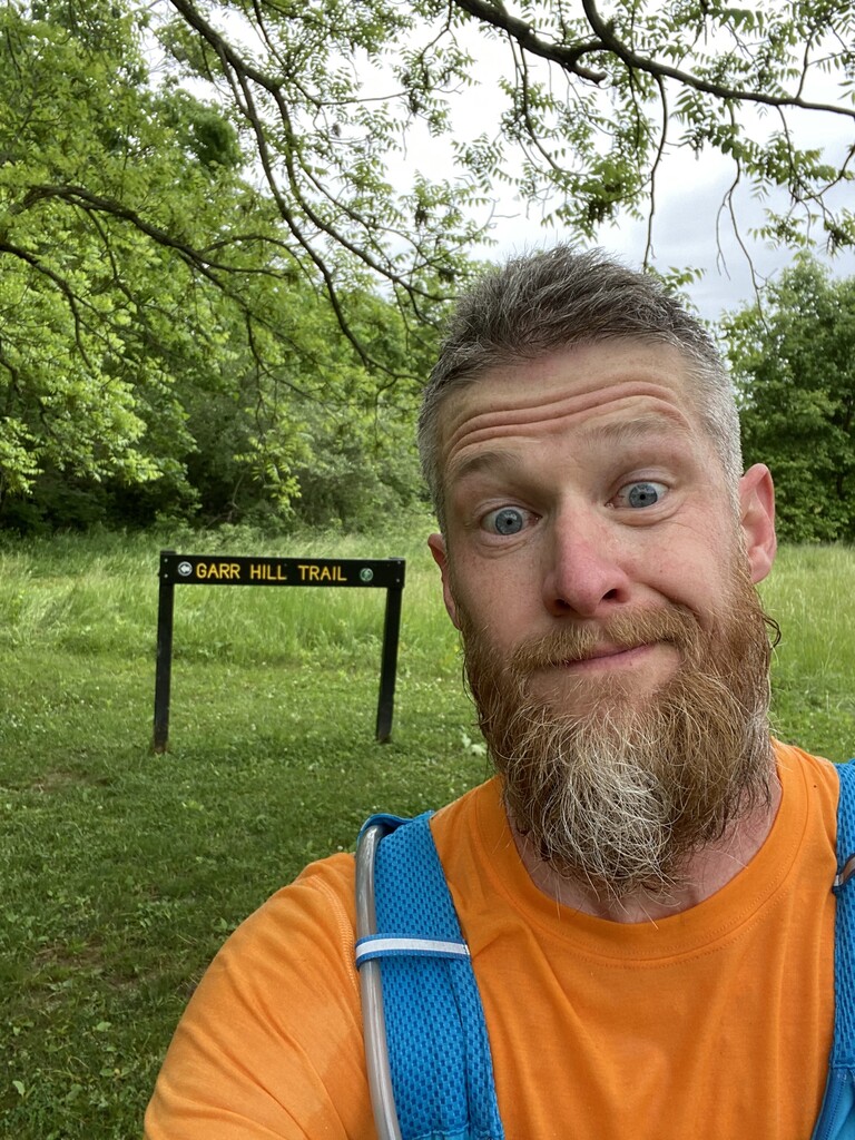
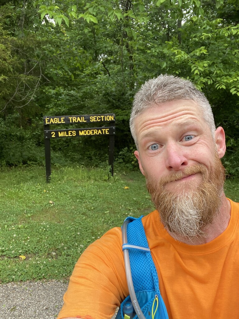
On this chilly, windy, gray morning with temps in the 40’s, I set out from the Bonwell Trailhead running clockwise, determined to complete my goal. The water on Brookville lake was very choppy as I crossed over the Dam. The Wolf Creek 11 mile trail section was a lot more overgrown this time around. Just two weeks prior the underbrush was starting to close in the trail and visibility was spotty in several sections. This week proved to be worse with some underbrush chest high. Also, for my pleasure the stinging nettles were in full “ bloom” starting at mile 2. This added a bit of excitement to the whole experience. I was more confident of my ability to navigate the trail this time, so I feel I used less time looking at the map. I finished the Wolf Creek section about 3 minutes quicker than the previous attempt despite the muddy trail and overgrowth. I hit the small road section of the Fairfield Causeway, then headed straight for the Fairfield trail section. This section was extremely muddy last time, so with the continuous rain from the previous 24 hours this week I expected nothing less than a mudfest, and I was correct. I was greeted by several Pileated Woodpeckers at the beginning of this section, which was a nice surprise! I stayed on pace through these next several sections pushing the flats and the downs while moving with purpose up the hills. Templeton Creek, Beach Access Trail,and Gar Hill Trails went smooth, still the same mud and overgrowth, but there seemed to be a few freshly mowed sections as well. Finishing Gar Hill is where things went wrong 2 weeks ago. I was determined to hit the Woodland trail correctly this go and cruise into the finish. “ The best laid plans of mice and men can still go wrong. “ I was so focused on hitting the trail and taking a pic of the Woodland Trail sign that I blew right past it. I did maybe ¾ mile of the Scenic Trail looking for the trailhead before giving up and going back. The trail was right past the gate; I missed it and there wasn’t any signage. I hit the trail a little deflated but still determined. This next section was all new to me. It is a nice section of trail that looked like it had some recent maintenance. It flowed well and was fairly flat, following the lake shore. I rolled my ankle on a root at mile 20 but kept pressing on. I soon realized I wasn’t going to beat my previous time (4:39) like I’d hoped, but I would be close. I pushed through the Woodland section and hit the Eagle Trail section with 2 miles to go. I hit the road at Bonwell ramp and set a good pace headed for the finish! I completed this goal run with a time of 4:45 this round; 5 minutes slower than last attempt, though clocking an additional mile compared to last time. A big thanks to Steven Liss and Jason Wish who did this before me and gave me the motivation. Jason was the first to comment on Strava congratulating me before I’d even made it home! I will put my previous report in the comment section as well. I think this FKT can be run faster, but I am happy with my attempt(s).
Comments
On Saturday May 15, 2021 I headed out to set a new FKT for the Adena Trace trail loop. This FKT was first submitted by Steven Liss. I first discovered the FKT and trail when Steven posted his hike and report on a Facebook hiking group page. Thank you, Steven, for submitting this FKT; it is for sure challenging. I have been building my running mileage this year and started to set my sights on this goal. I was really bitten by the bug when I helped a friend complete his FKT in early April. I then set my goal date as May 15 and honed in my training. I then noticed Jason Wish had a similar plan, and he set a new record roughly a month before my trip. Steven and Jason are both a lot more tech savvy than me and both of their reports and videos helped me in my attempt. Thank you guys!
I went after this as a trail ultra distance runner, so this was a different approach than the previous attempts. Jason even commented that an ultra runner would come through and run a faster loop. I hoped to be that guy. I set out from the Bonwell Hill Ramp parking lot and Bonwell Trail section at approx. 7:36 am, with calm winds, sunshine and 44 degree temps. The short trail section to the dam road section was muddy and spider web ridden, but hitting the dam as the sun was coming over the trees was very nice. I set out on a decent pace as I hit the Wolf Creek trail section. This was a single track trail section with lots of ups and downs. The trail was a bit overgrown in places but the markings and blazes were abundant. Kudos to the Hoosier Hikers Council. Lots of runnable sections helped keep my paces between 10 and 12 minute miles thru a majority of the Wolf Creek section. I was very lucky to come across 2 Bald Eagles on this section, both of which were 30 yards off the trail and less than 50 yards apart from each other. This was really the highlight of my attempt, to be able to see such amazing birds in the wild so close. I had very little issue navigating this section with a slight hiccup at a creek crossing; I had to backtrack across the creek to verify I was going the correct direction, using the Gaia app to confirm I was correct. It’s always fun to cross the same creek section 3 times in ankle deep water, right? This “mistake” fueled my fastest mile of the section (8:46 mile). I finished this 11 mile section in roughly 2 hours and 11 minutes. This brought me to the Fairfield Causeway, a ½ mile section of road ending at the beginning of the Eastern Portion of the loop and the Fairfield Trail section. This trail immediately turned to a muddy mess,which was the overall theme of the east side. I felt this side was more gradual climbs and a lot of mud on a wide grass path. This continued with the Fairfield, Templeton Creek, and Beach Access trails. The Gar HIll section was a lot more single track, but still muddy in spots. These areas were still runnable but at a slower pace for me due to mud, gradual inclines and fatigue starting to settle in. My pace slowed to fewer 10 minute miles and more 12 minute miles. I was still averaging an 11:30ish overall pace. I pushed through the mud, walked the hills that needed to be walked, and ran the downs and flats. After Gar Hill is where the attempt goes a little wrong. I was using the Gaia App, which shows the Adena Trace Trail loop using the Scenic Trail for the next 3 miles. After returning home, I learned that Steven and Jason used the Woodland Trail for this section. I thought I had mapped out the course properly, but it appears this was overlooked in my planning. Woodland Trail is a single track trail that parallels the Scenic Trail, which is a paved section with what felt like a continual climb. The final section was the Eagle Trail section. This returned to a very rolling single track trail. I prefer rolling single track, but I was starting to slow down a bit at this time. The previous section was not shaded and the temps were rising near 70 degrees. I pushed thru this section finishing at Bonwell trail head with 24.27 miles in 4 hours 39 minutes 9 seconds (Garmin).
This trail was a lot more challenging than I expected. I completed this unsupported carrying 70oz of water and all my snacks (snickers, dates, peanut butter and honey wrap) in my pack. I ate 150-200 calories every hour and I felt I really stayed ahead of my nutrition. I did run out of water at mile 21, but I knew I was close enough to the finish and would be fine. I will for sure be back to this trail for more training runs.