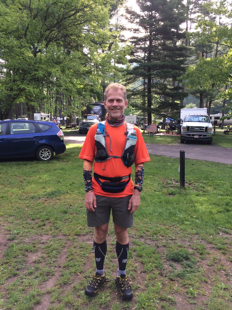
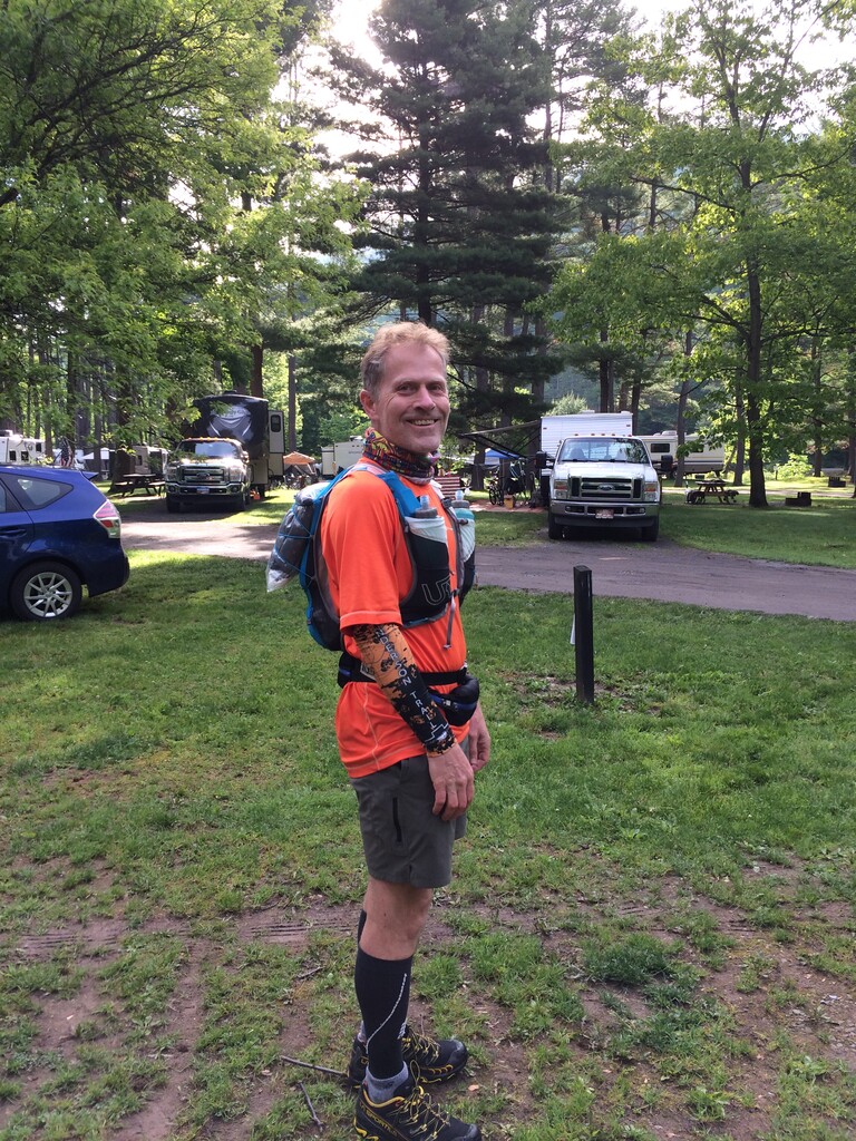
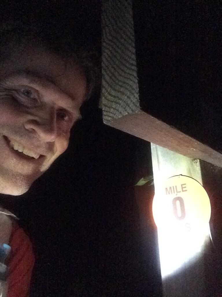
I did an unsupported solo run of the entire 84-mile loop of the Susquehannock Trail System (STS), starting 05/31/2021 at 7:52:19 and ending 06/01/2021 at 9:24:26, with a total time of 25:32:07.
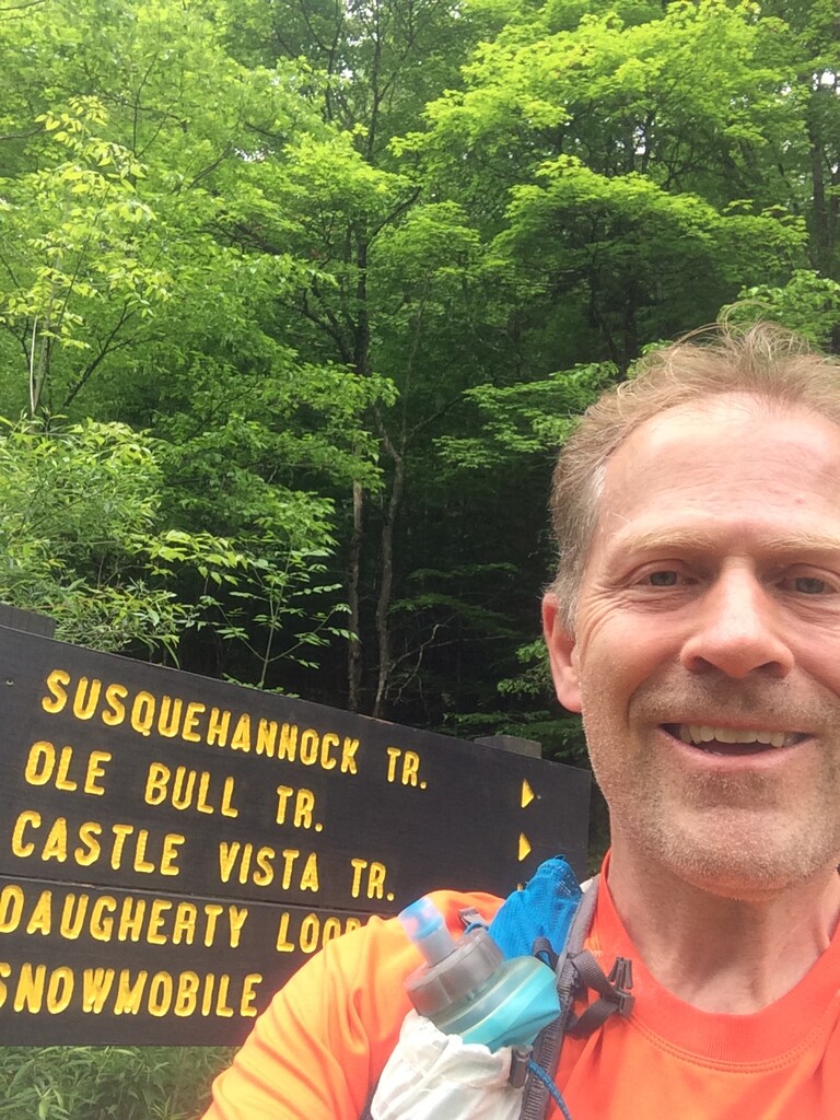
I had a lot of fun! The STS is located in a beautiful wilderness area of Pennsylvania. I was first introduced to the STS two weeks before, when I did a fun run organized and crewed by Rick Moyer. I wasn’t able to complete the entire loop then because of foot problems, and I wanted to go back and run the entire STS loop. Rick suggested to attempt a fastest known time (FKT), something I had never done before, and I decided to run unsupported because I could easily rely on filtered stream water and my food needs are simple. Following the official rules of unsupported FKT, I carried all my supplies from the start and I had no support. For emergencies I carried a GPS communication device and I shared my location with my family in Delaware. For navigation I used the set of waterproof maps that come with the STS trail guide by Chuck Dillon. I also used a phone app (Avenza Maps) with pre-loaded USGS topo quads, and I also used this app to record the GPS track.
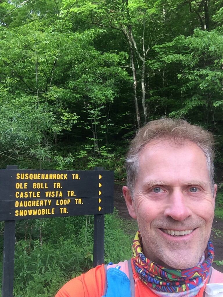
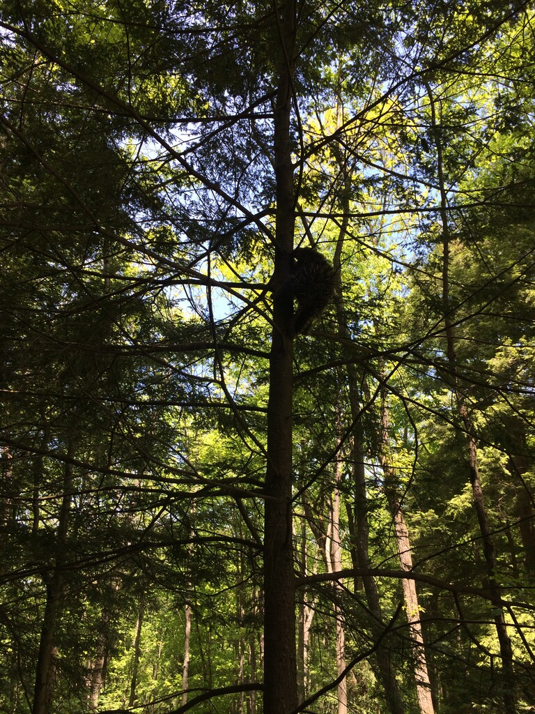
I started and finished at Ole Bull State Park campground, going clockwise. The weather was sunny, a bit warm during the day (mid 70s) and cool at night (mid 40s). I did not see a single person the entire time on the trail, except when I ran through Cross Fork Village. I did have a close encounter with a huge porcupine that I almost stepped on, and I also crossed path with a black bear 20 m away which rapidly ran away from me, which was quite a relief.
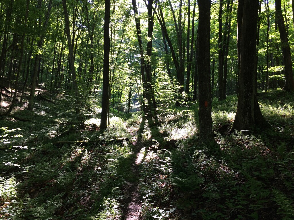
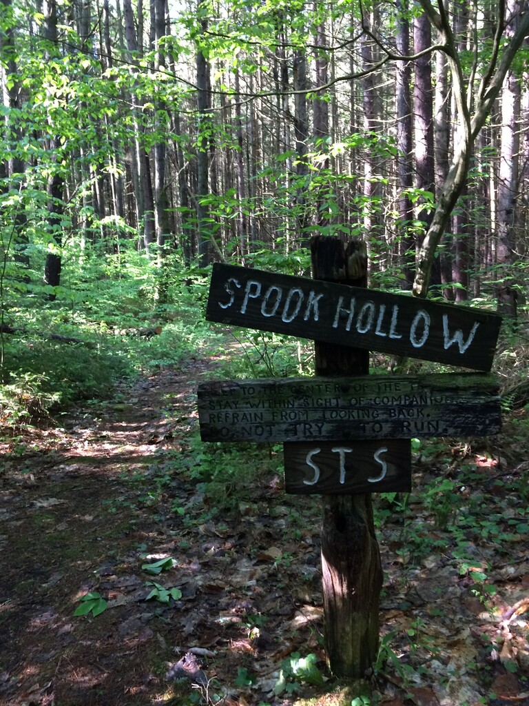
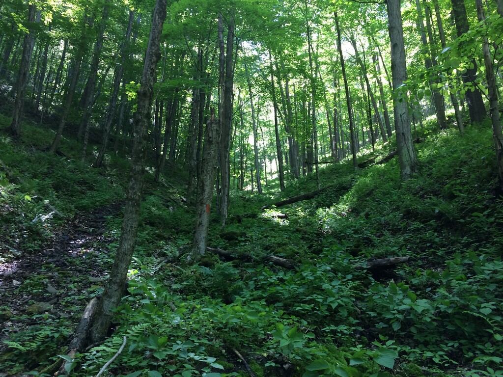
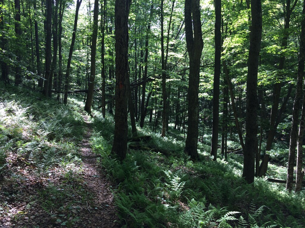
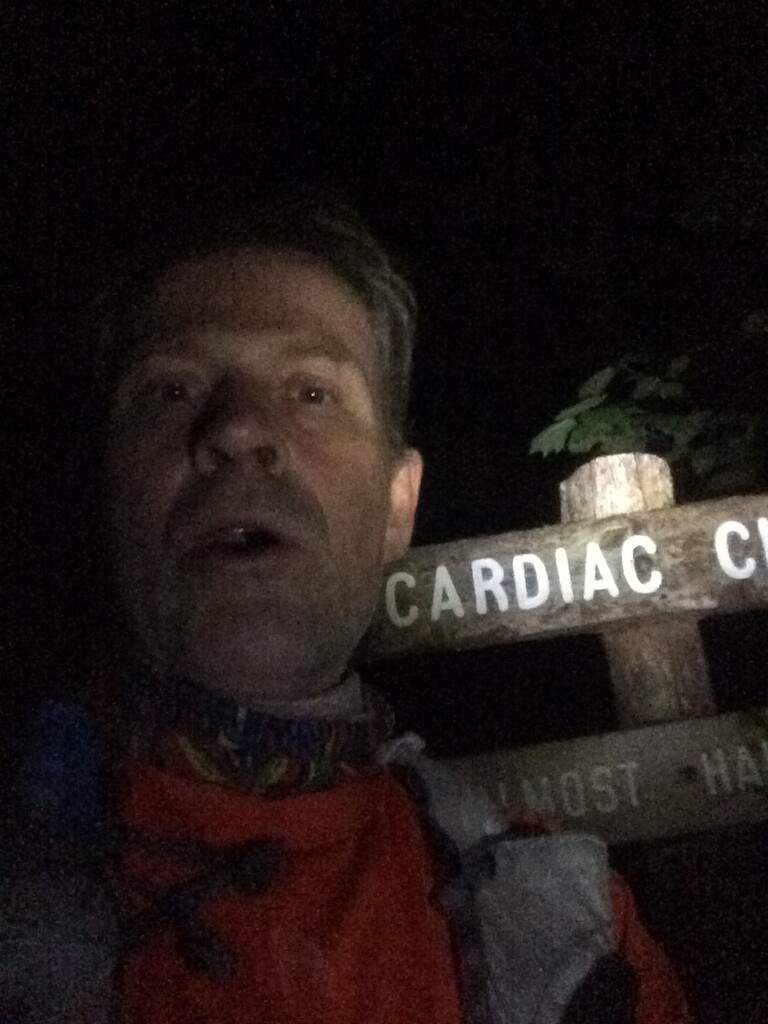
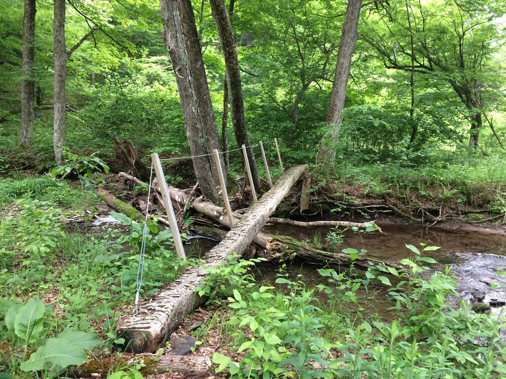
The description below uses the official mile markers, with my run starting at mile 26. There are several sections of the STS I especially liked, including the first section from Ole Bull State Park (26) as the trail quickly ascends 1000 ft from Kettle Creek and then descends into Impson Hollow (29) and then Spook Hollow (31). The morning light shining on the ferns was just magical. One of my favorite sections of the STS is the descend on the Morgan Hollow trail (36), which has a true wilderness feel to it. It is crazy steep and it was slick from the recent rains and I made one particular bad fall, landing on my phone that I was carrying in my back pocket. I was worried that the GPS tracking stopped, which it didn’t, but it did mess up the volume buttons. A few hours later I descended into Cross Fork Village on the Lieb Run trail (47), a fast runnable trail section. This was followed by a mile of road running, plus some extra when I missed the turnoff for the Twin Sister Trail (50). From there the trail ascends 1000 ft, and then descends to the Hammersley trail (54), a scenic trail section that runs along a creek. At this point in the afternoon it was getting quite warm and at some point I misjudged where to get water and I had to ration fluid intake. Next the STS followed a flat section on the Buffalo Susquehanna rail road grade (62-64), and then for the next 13 miles it followed a sequence of ups and downs on some of my favorite trail sections. The light was beautiful in the woods as the sun was setting, and together with the temperature dropping it made for perfect running conditions. I reached Patterson State Park (77) in the dark and I felt strong. I had a minor problem at a planned water stop (81), which was actually a bad spot for accessing the creek, and I had to do some mid-night acrobatics on the creek bank, realizing as I was filtering that I was right next to some large animal holes with chewed up bones. I was glad to get back on the trail! Next I reached the Northern Gateway ridge trail (84/0), a flat and runnable trail section. Occasionally I would look at the stars. At this point it was the middle of the night, I was getting tired and I had to force myself to stay super focused on not tripping (which is what happened two weeks ago) and to keep up my fluid and fuel intake. I reached Cardiac Climb (11.5) unscathed this time and there were only a few miles left until Cherry Springs Fire Tower (14). This is where I stopped two weeks ago and this time I was in much better shape. 12 miles left. I had not run this section before and I found some of it confusing and not the most scenic trail surface to run on. I was happy to finally reach Cherry Run trail (21). The final descend into Ole Bull State Park (26) was the best, morning light on the ferns, magical. My quads were hurting pretty bad and I was sleep deprived, but otherwise I felt fine. It was a little weird to arrive at my final destination, alone. Then it was a hot shower, food, some sleep, pack up, and drive home.
Comments
Huge congratulations, Luc!!
Thanks Hugh! I just looked at your Batona attempts. You did an amazing run there! Congratulations! I have not been back there since that time we shared some miles. Any plans for another FKT attempt?