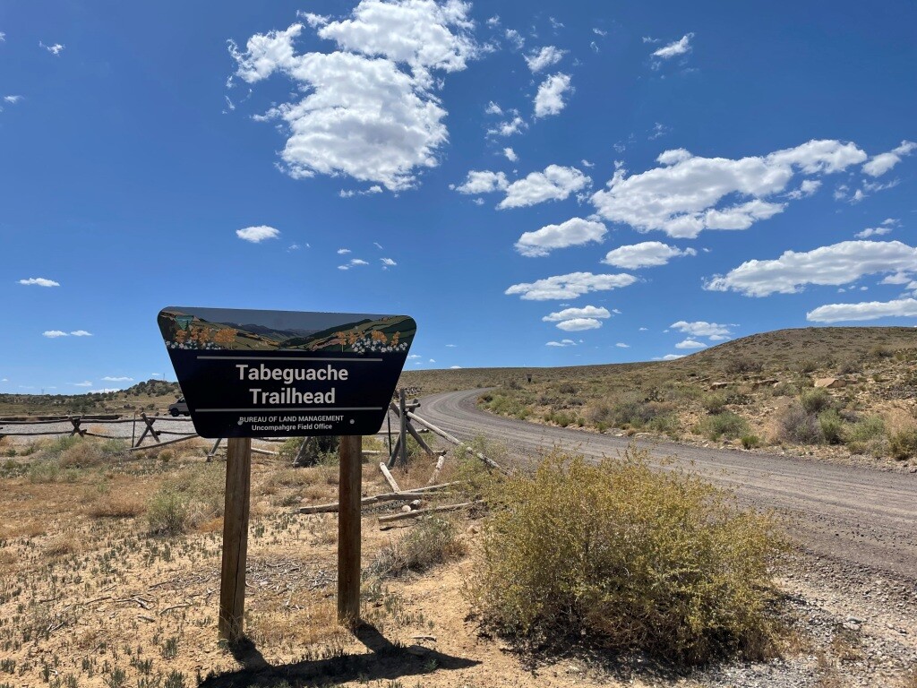
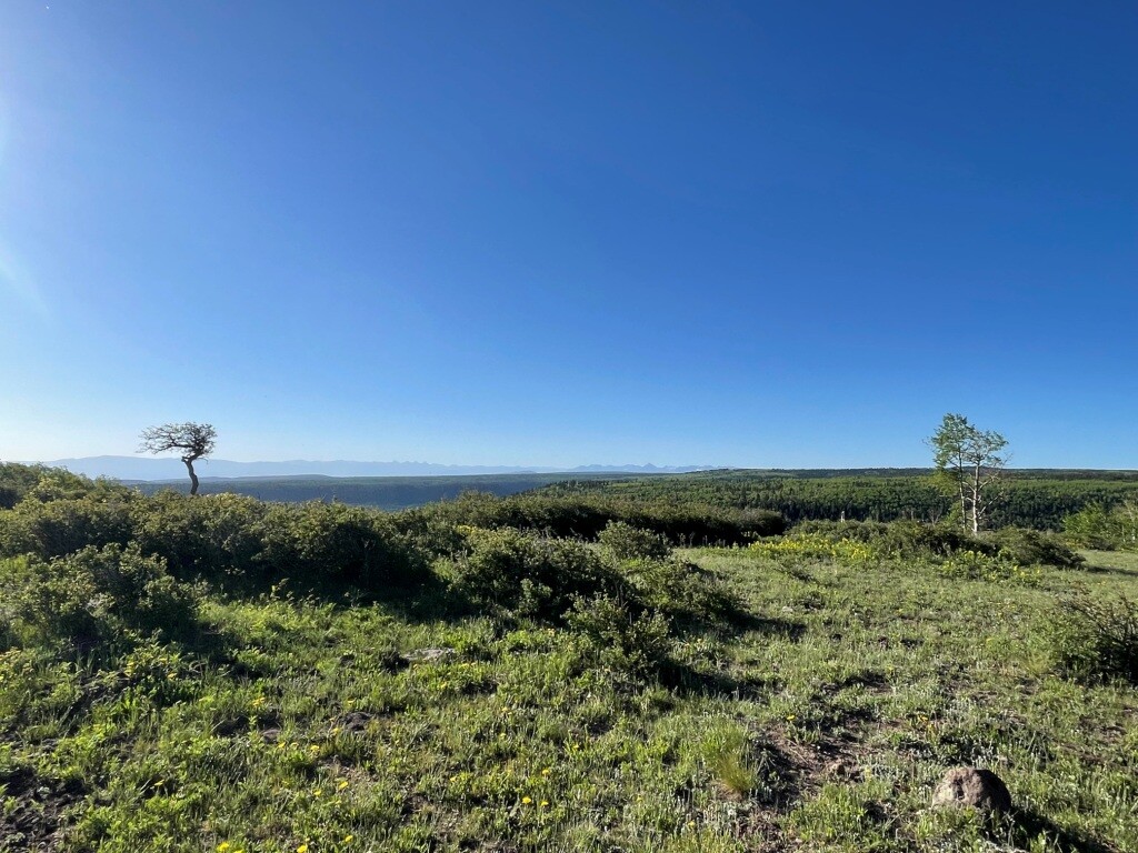
The Tabeguache (pronounced TAB-a-watch) Trail is the third leg of the Grand Loop (with the Kokopelli trail and the Paradox Trail form the rest of the triangle.) The trail begins at the Shavano Valley aka Dry Creek Trailhead just outside Montrose CO and weaves through the canyons, mesas, and highlands of the Uncompahgre Plateau before ending in No Thoroughfare Canyon, a few miles west of Grand Junction at the Lunch Loop Trailhead. It runs 148 miles, climbing over 19,000 feet and descending over 20,000. This is the longest of the three trails making up the Grand Loop and while some areas see heavy use, others are more seldom traveled. The route is a mix of jeep roads, forest roads, ATV double track and single track. It skirts the edges of the Roubideau special management area encompassing the Roubideau canyon, parallels the Escalante Wilderness boundary for several miles before heading into the Bangs Canyon Special Recreation Area and finally finishing in the renowned mountain biking area known as Lunch Loops. You are treated to views of the San Juans, the La Sals, Unaweep Canyon, the Grand Mesa and Colorado National Monument as you travel the length of the trail.
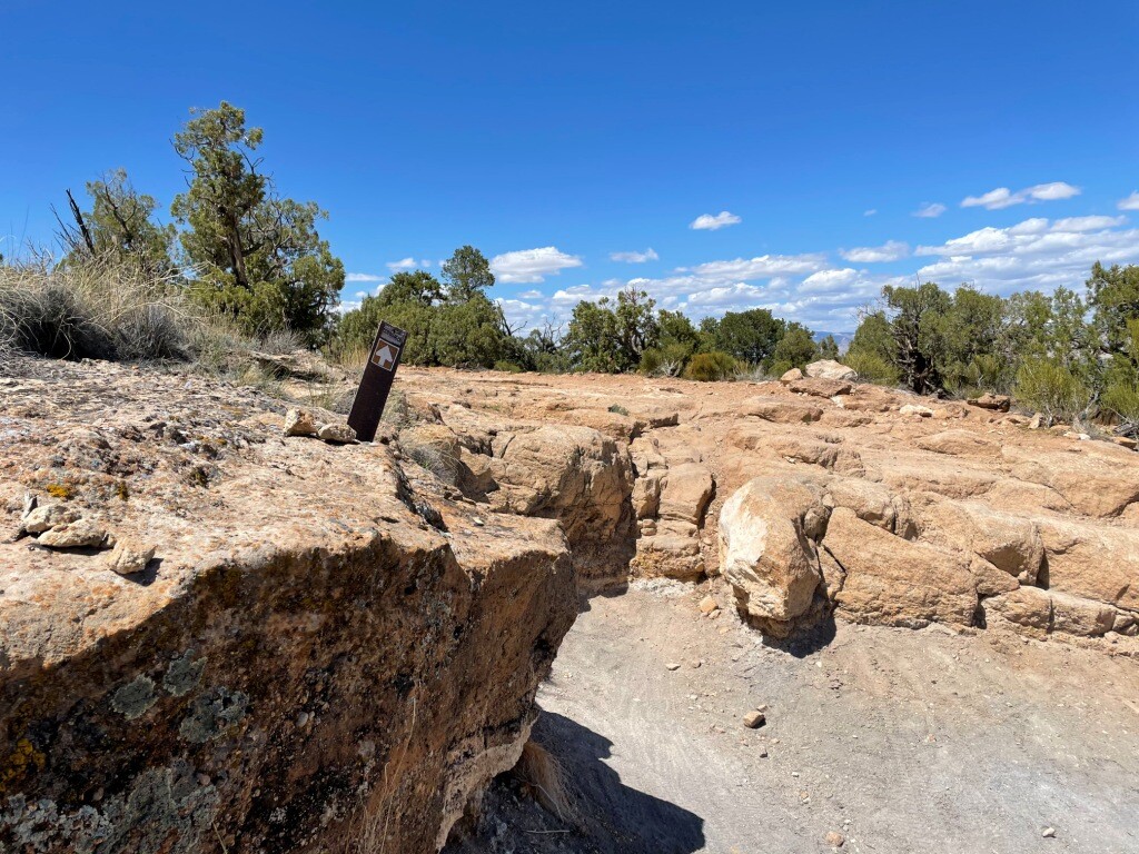
While the trail is nominally marked with brown fiberglass posts approximately every mile, and at all intersections route finding can be a challenge, requiring good navigation skills . Most of the trail is on remote lands administered by the U.S. Forest Service and BLM with minimal to no cell service. There are a few water sources along the top of the Plateau, especially in the Roubideau and Love Mesa sections and as you cross Dominguez creek and the East Creek Unaweep. However in the canyons of the Shavano Valley, the high desert plains along the Divide Road and the stretch from White Water to Bangs Canyon have minimal water access.
The travel widow for the route is smaller then one would expect. The primary road through the Plateau is closed over the winter for wildlife protection. Route finding in the spring can be a challenge with downed trees from the winter if you attempt prior to the ATV/MTB groups coming in and clear the trail. In the summer, the temperatures in the desert valleys can soar into the triple digits. Additionally, the Uncompahgre Plateau is a nationally renowned hunting area and the trail can be quite busy during big game seasons. Wear your orange!
Much like the Kokopelli and Paradox trial, keep an eye on the weather for making an attempt. If there's any significant rain, large portions of the trail and support routes will become impassable.
Trail Log located at https://www.copmoba.org/montrose/
Comments
I attempted the route this week, starting 0400 on Thursday 8/18. Made it 75 miles before I pulled the plug for a few reasons. Don’t underestimate the steady climbing in the first half, or the need for solid route finding along the Roubideau section. My advice for anyone tackling this next - take a few trips up to the Plateau and check out the trail. Roubideau is a worthy run in its own right!
I will making a second attempt at completing the Tabeguache Trail from Montrose to Grand Junction starting August 11 at 0400, hoping to finish Saturday evening or very early Sunday. This will be a fully supported effort. I will have my spot tracker with me and have a tracking page set up.
http://trackleaders.com/tabfkt22i.php?name=Tracy_T_2023
A little slow posting this - I once again did not make the entire trail. Got the 117 at the end of the Cactus Park section and had to pull the pin. Another good number of hours on the trail and a great learning experience. This is an amazing route between the terrain, the remoteness of the area and the challenge. I do hope some other athletes will start having a go at Tabeguache!
Incredible!