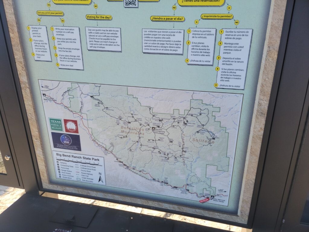
Kari Seher, Red Readinger, and I started from the Casa Piedras Trailhead in Big Bend Ranch State Park at 6:15am on Friday, January 20, 2023, to attempt a self-supported FKT of the Big Bend 100 (106 mile full course). We noticed the route includes the South Rim loop before heading down to the Chisos Basin, but for some reason the two current FKTs listed completely cut that section out. We wanted the FULL experience, to do the legitimate route, and soak in the sweet views on the rim knowing it would add at least another 2.5 hours and much more climbing, but we wanted zero regrets on our journey even if it meant not breaking the previous best two times.
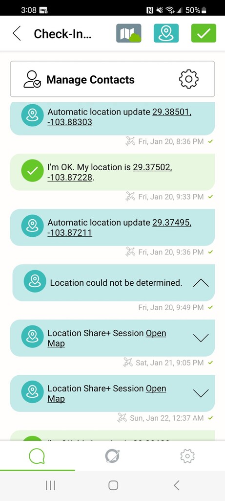
I was carrying a Zoleo gps tracker for our team that stayed back in town knowing they couldn't meet us on the course to cheer us on and we'd likely just see them in Lajitas as we were passing through. This is extremely rough country and the state and national parks are already operating with thin resources, having an emergency and adding to the strain of their duties would be extremely selfish and only add to their strained budgets.
We understood going in that as a team, all of us would have to finish to maintain the self-supported designation but we had faith in each other to tackle what we set out to do.
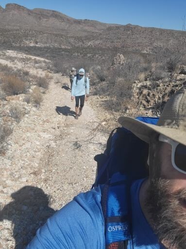
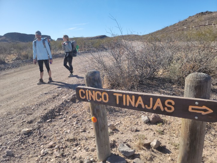
Carrying 4+ liters of water each, our packs were anything but light, but knowing the water sources can be scarce and disappear rather quickly we wanted to leave nothing to chance. The first several miles were extremely easy to navigate and traverse on the jeep roads and loading the course on my Garmin Enduro was a huge help. The dry creek bed sections and the sandy soil made powerhiking a bit harder, but the real challenge was cairn-hunting at night in the sections not as well-travelled. We filled up our water at Sauceda ranger station that evening. Even w/ my watch guiding and Red using the GAIA app, it was still slow going. We cowboy camped right around mile 40 in a small pocket surrounded by trees and out of the wind.
Our original goal was 40 miles each the first and second day, and 20-26 miles the last in 55 hours or less. Once we determined the last day would be 26 miles, we made changes on the second day.
We started at 6:11am Saturday morning that beckoning of a breakfast burrito from the Lajitas General store was an early motivator. Rolling in after 10am (after checking in at the Warnock visitor center to let them know our group was safely through the park and refilling on water) we chowed down and chatted w/ our friends Joe, Henry, and Russ that were watching our tracker but also enjoying their own hikes while we ground through our own.
About an hour break at the store then we headed into the National Park (permits secured by Red on Thursday) and took the trail up on and over Mesa de Anguilla. The minimum goal was to camp around Terlingua Abajo, but knowing the South Rim loop was going to add several hours, we decided to take an extended break and eat dinner along Terlingua creek, refill our water (using Katadyn BeFree filters for the creek water) to give us another bit of energy to try to get 45 miles in on day two. We were able to get the Maverick road and find a washout with no rocks and a nice bed of sand to cowboy camp our final night under the stars, finally laying our heads down around 12:30am with a 4:45am alarm looming ahead.
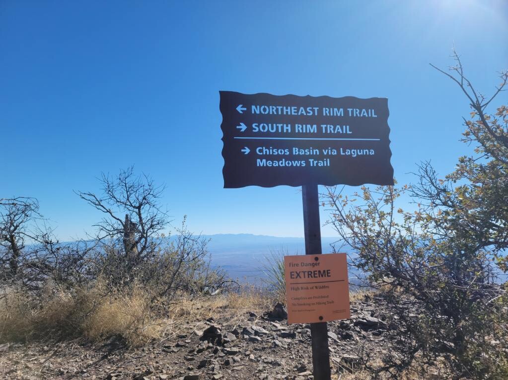
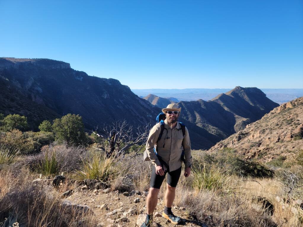
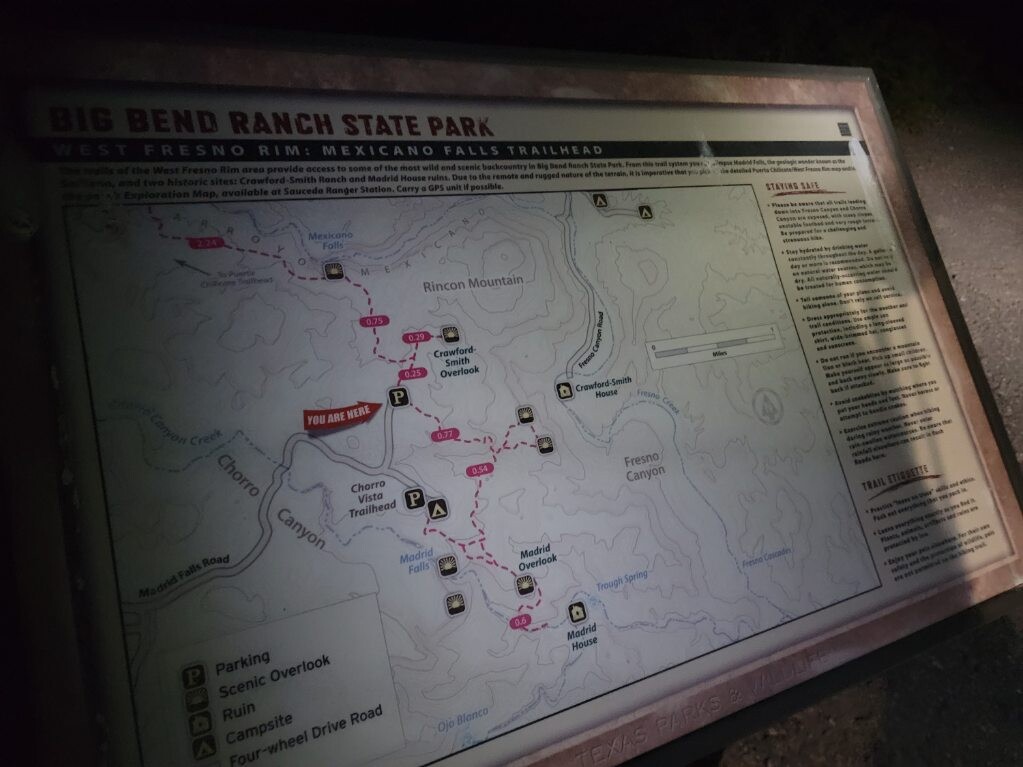
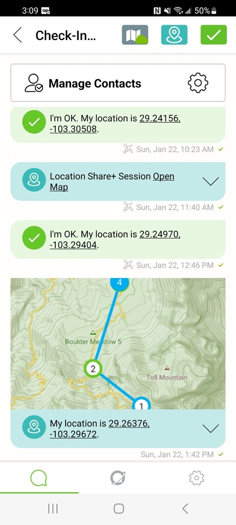
Rest was better than expected, however brief, and we started at 5:50am for our last day on the trails. The climbs ahead would be the toughest, and the decision to turn right and tackle the South Rim Loop was momentarily a tough pill to swallow, but each of us knew we were ahead of the solo FKT times and we wouldn't feel good about taking the shortcut and only doing 100 miles of the 106 mile route that is the Big Bend 100. My watch died on the final section of the loop, but my zoleo kept location tags, Kari's watch was still tracking us, and my pictures and location on them were there to secure our verification for the trek.
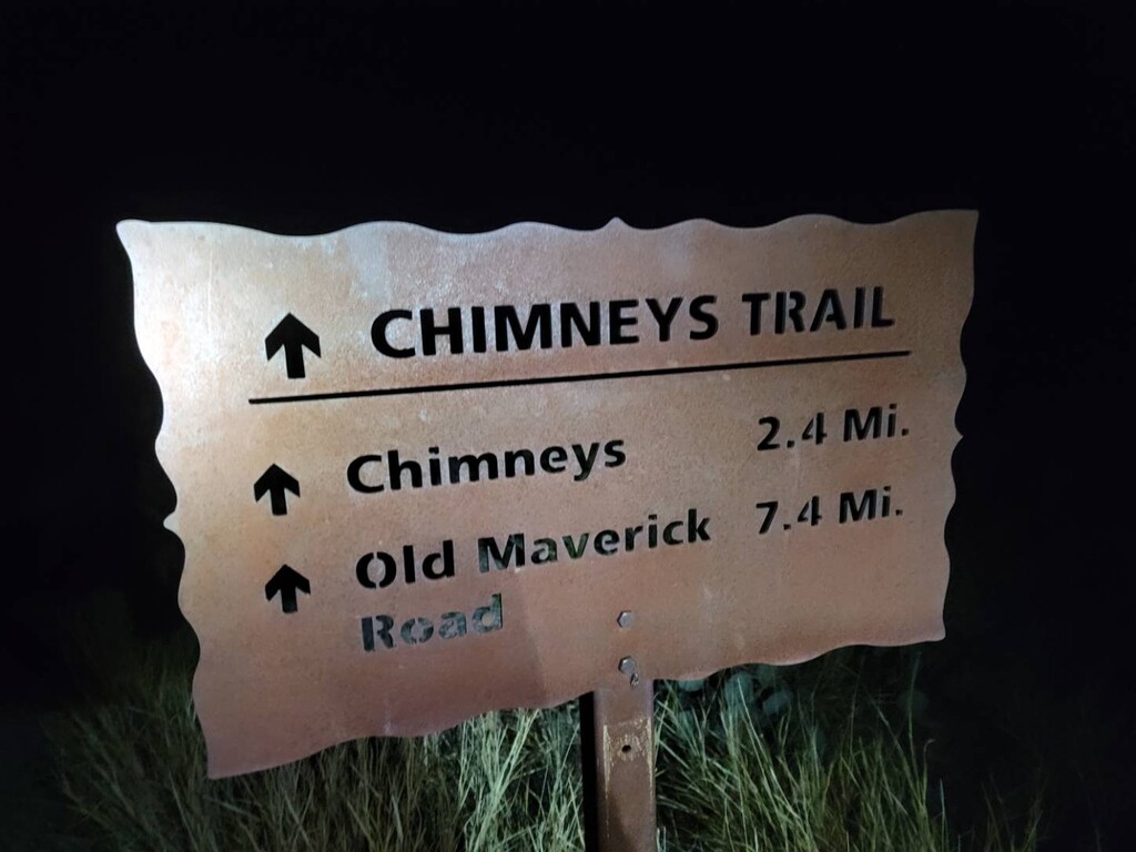
The loop seemed to go on forever, but after hitting the trailhead telling us it was 3.8 miles to the Chisos Basin, we "ran" down with full packs and had our fastest miles on the trip thanks to gravity and the desire to be done. Seeing the lodge and our friends with cameras and cold beverages waiting for us at the trailhead was an extremely satisfying end to an epic adventure.
Comments
Awesome 🙌 thanks for sharing